Plizio Visual Lab
Rio Abade

Weather…
Water temperature…
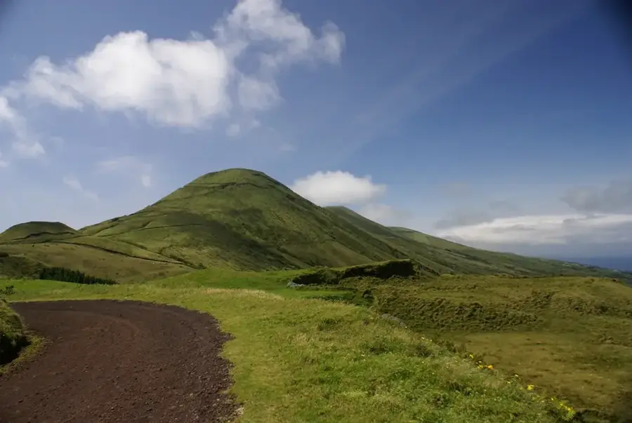
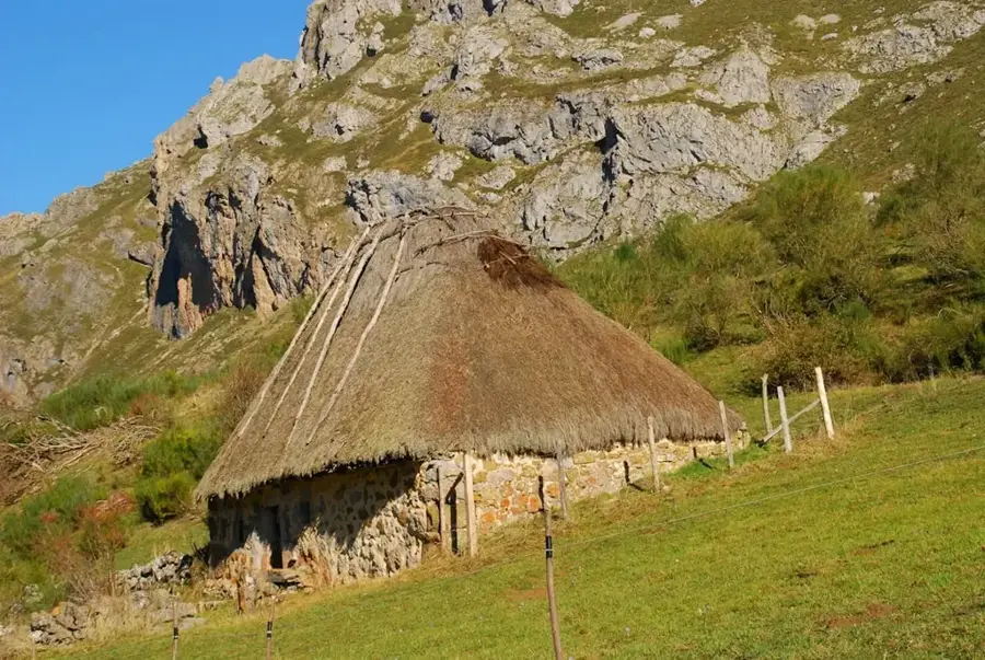
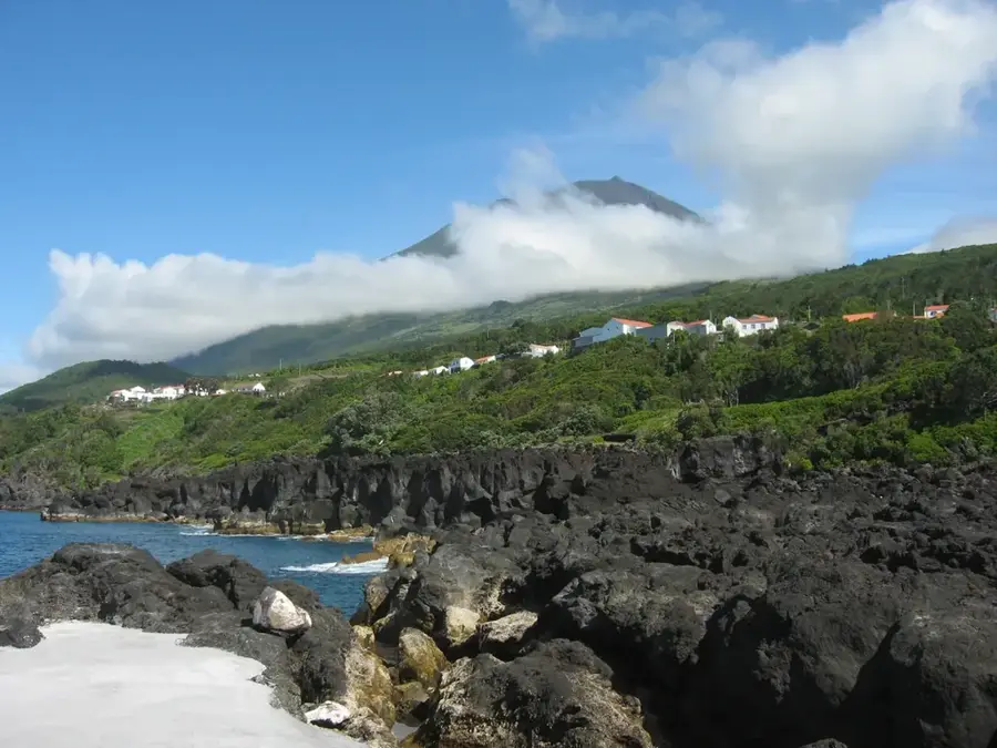
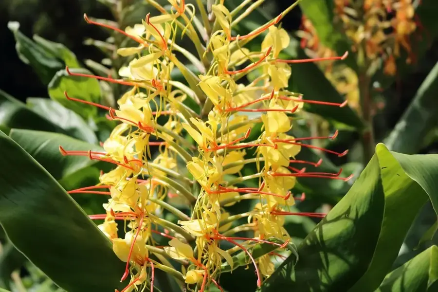
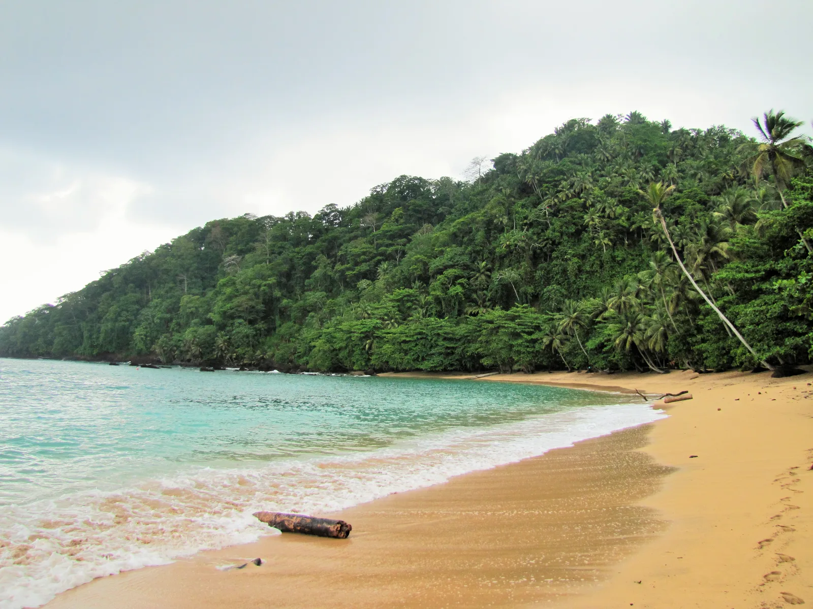
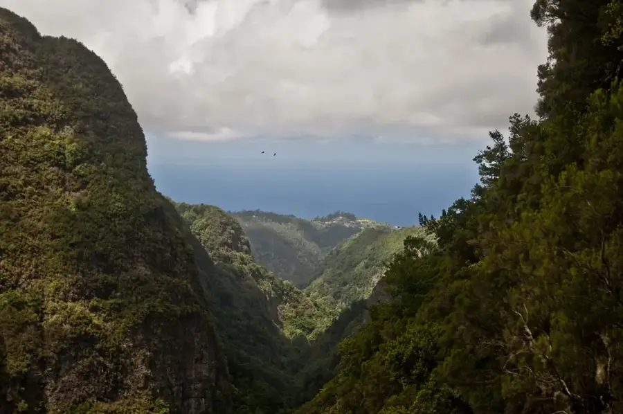
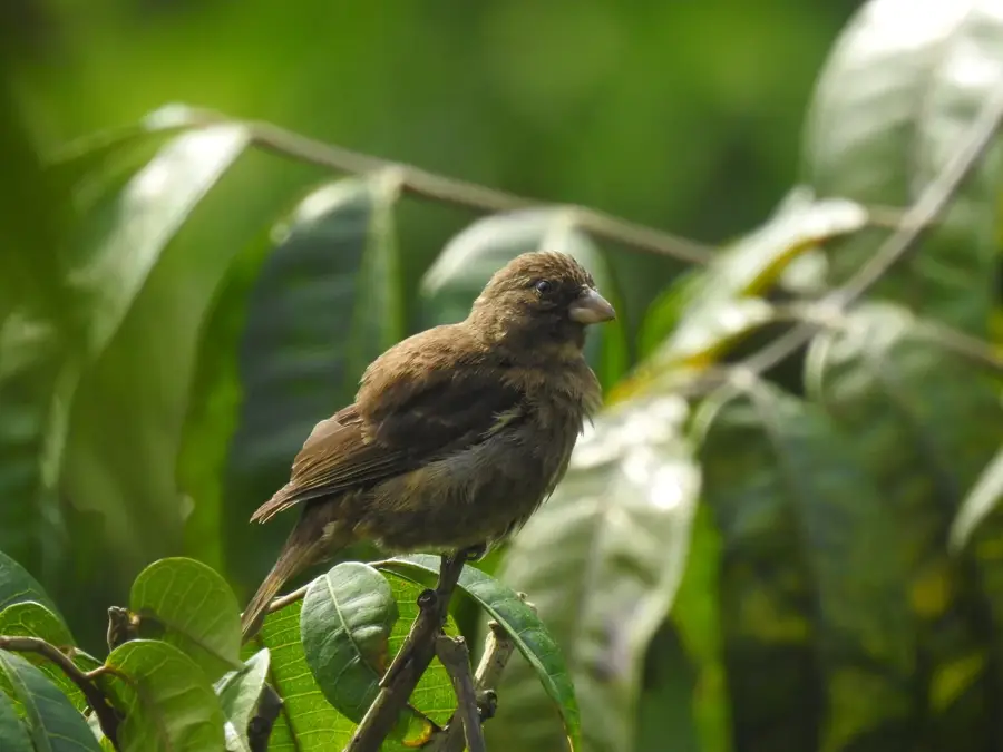
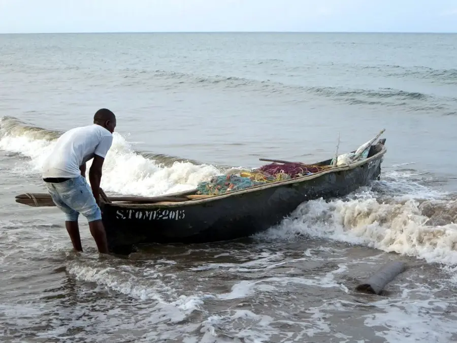
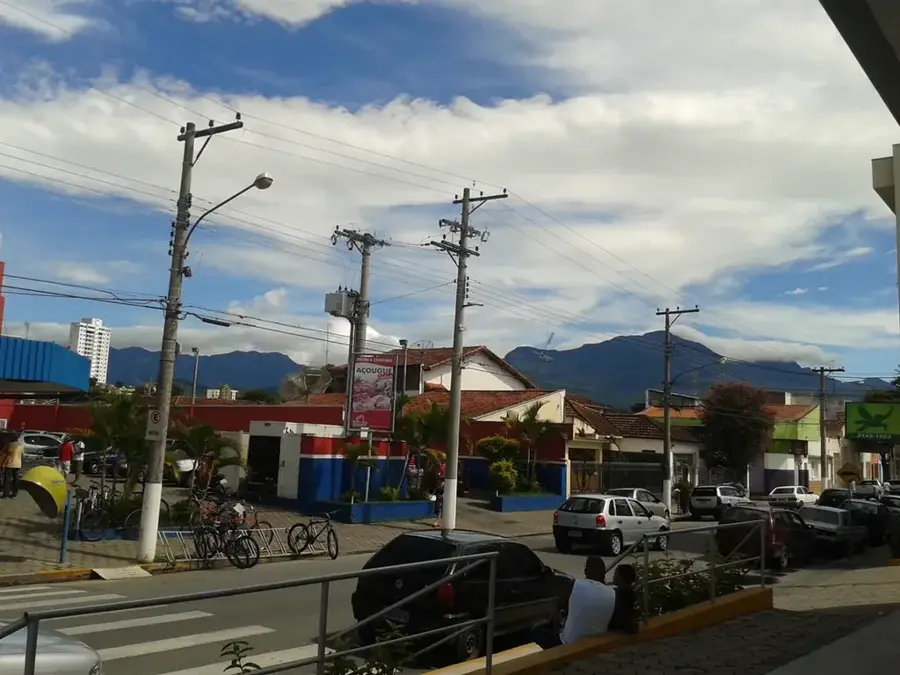
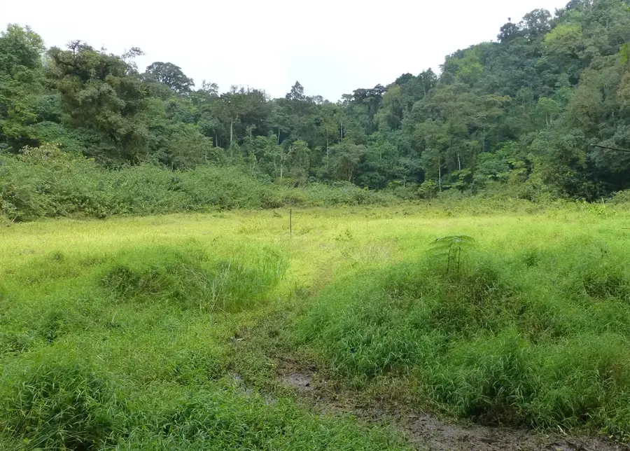
Rio Abade flows through the southeastern part of São Tomé island and empties into the Gulf of Guinea near the town of Santana. Its drainage basin is characterized by fertile soils that have been used for generations to cultivate sugarcane and later cocoa. The river is a vital water source for the surrounding communities and the historical Água Izé plantation. Along its course, dense mangrove forests and tropical vegetation can be found, providing an important habitat for various bird species and reptiles. During the colonial era, Rio Abade was strategically important for transporting goods from the interior to the coast. Today, the river is a peaceful site that features visitors insights into rural life and the island's natural beauty away from the main tourist paths.
- Location: São Tomé & Príncipe
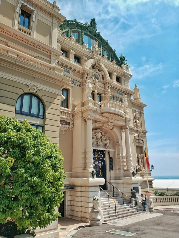
- Top sights: Anselmo Andrade · Santa Clotilde · Mé-Zóchi District
- Nearby: Caixão Grande (6 km)
Best time to visit & climate
The most pleasant time to visit is Jul–Sep.
| Jan | Feb | Mar | Apr | May | Jun | Jul | Aug | Sep | Oct | Nov | Dec | |
|---|---|---|---|---|---|---|---|---|---|---|---|---|
| Avg °C | 27 | 28 | 28 | 28 | 27 | 25 | 24 | 25 | 25 | 26 | 26 | 27 |
| Rain mm | 132 | 120 | 162 | 162 | 104 | 29 | 14 | 12 | 22 | 81 | 134 | 133 |
📋 Practical info
Geography
Facts
- Empties into the Atlantic Ocean near Santana.
- Historically supplied the Água Izé plantation.
- Drainage basin covers southeastern São Tomé.
- Surrounded by ecologically valuable mangroves.
- Used for irrigation since the 16th century.
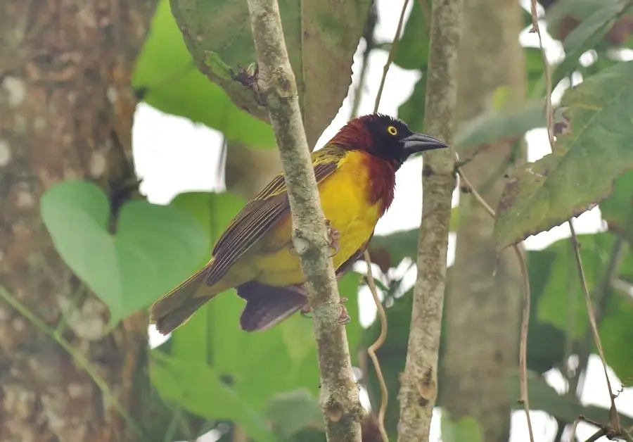
- Important habitat for the endemic São Tomé Weaver.
Explore nearby
Notable places around
Route planner — Car & Motorhome
Where do you start? We build the route here, with stops and country notes along the way.
© OpenStreetMap contributors · OpenRouteService
Sights in the town Rio Abade (3)
Sights nearby
Frequently asked questions
Are there picnic spots by the river?
How deep is the river?
Are there many hikers there?
What is the best season?
Is the place hard to find?
Rio Abade: where is it located?
Rio Abade: what is there to see?
Rio Abade: when is the best time to visit?
Rio Abade: why is it worth visiting?

Nearby cities


History & landmarks

Nature

More places