Plizio Visual Lab
Batepá
ℹ️Practical info — Batepá
▾
🌤 Weather — 5 days
📍 Nearby
Sights nearby
💡 Tips
- The town is small; exploring on foot is the most practical way to see everything.
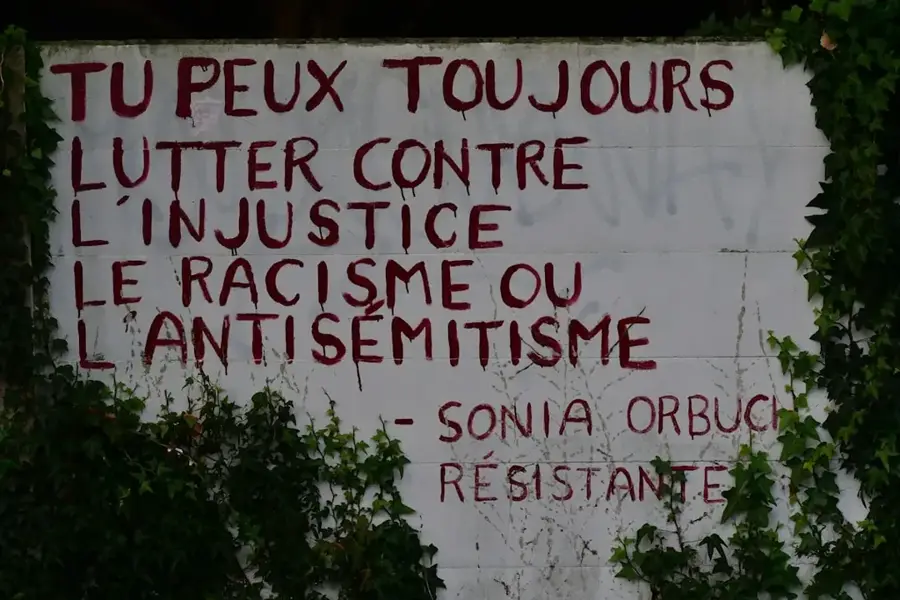
- Be respectful of the local history, especially when visiting memorials related to the 1953 events.
- Carry cash (Dobra) as card payments are virtually non-existent.
- Roads leading here can be uneven, so a sturdy vehicle is recommended if you are driving.
- Bring insect repellent, especially for the late afternoon.
🍽 Food
Ask for local eateries serving traditional dishes.
Buy directly from street vendors.
Available at small local roadside spots.
🛍 Shopping · 🧘 Quiet spots
Find them in small local shops.
Check out small artisan stalls in the center.
Peaceful places for reflection.
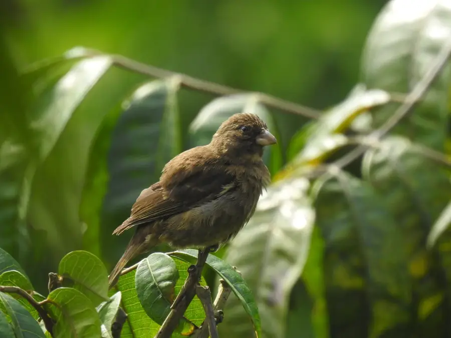
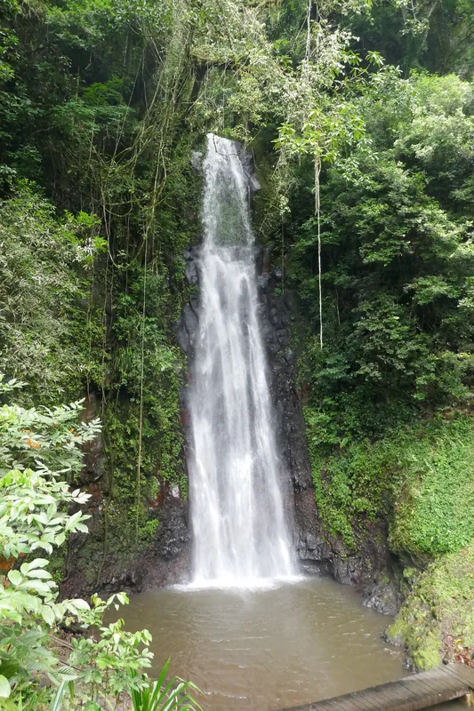
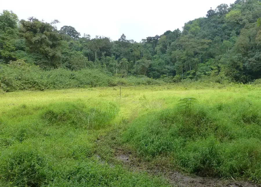
Explore the surrounding lush green hills.
Water temperature…
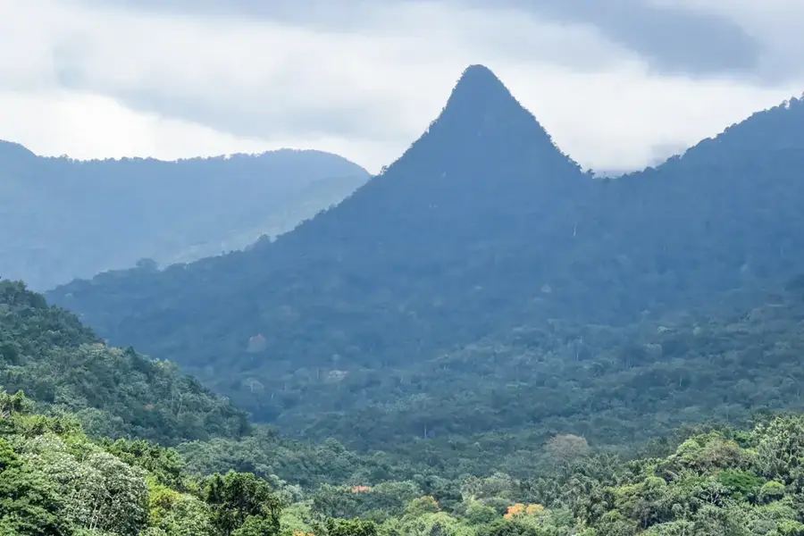
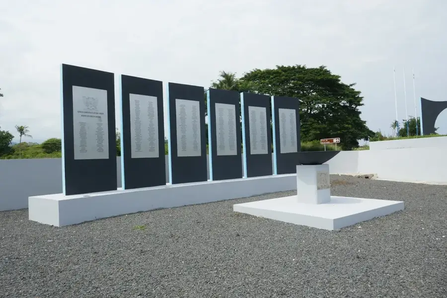
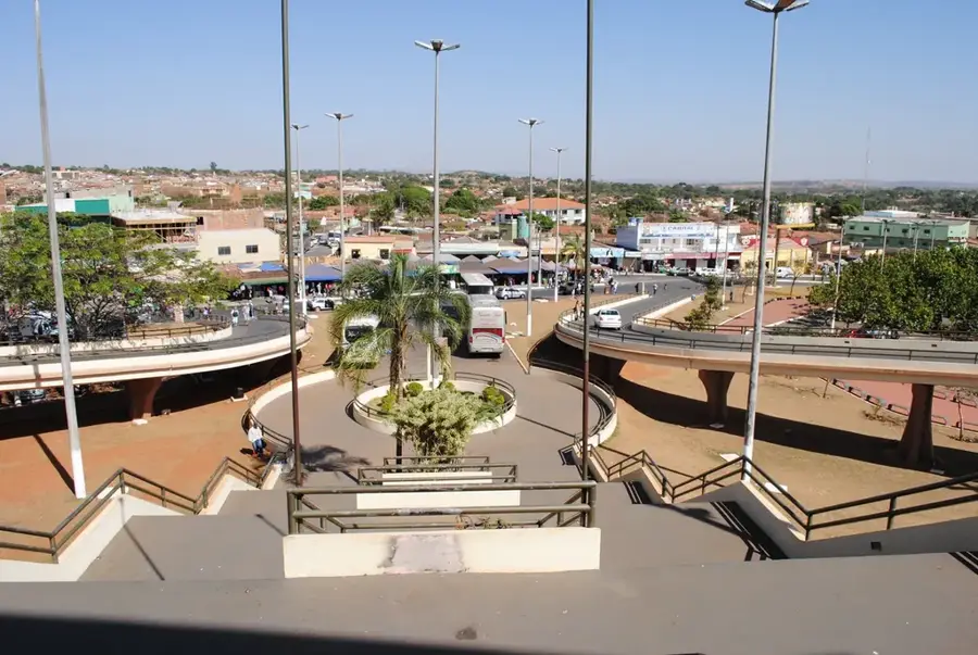
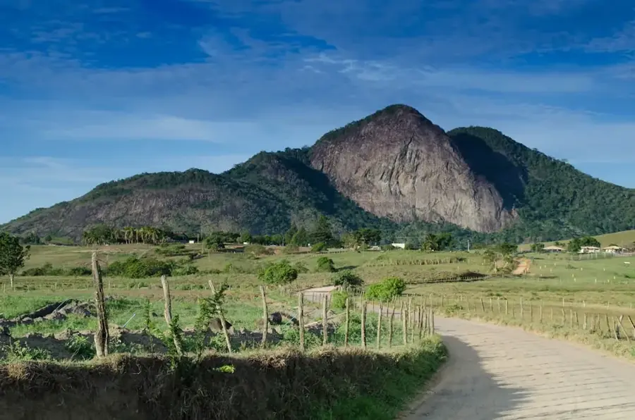
Batepá is a village of outstanding historical importance in the Mé-Zóchi district, set in the fertile hills near Trindade. Between 3 and 11 February 1953, the „Batepá Massacre“ took place here, one of the most brutal repressive actions in Portuguese colonial history: hundreds of local smallholders and plantation workers, mostly from the Forros community, were killed, tortured and deported to the notorious São Sebastião fort during a violent suppression of labor protests. These events are considered the birth of São Tomé's independence movement. Today, a black basalt memorial in the center bears the names of the victims, and every 3 February national commemorations are held here, where the president and dignitaries lay wreaths. Batepá also preserves a strong tradition of oral history transmission, in which elderly contadores pass on the memory of 1953 to younger generations. The surrounding cocoa forests with their rich harvests show that from the pain of the past, new dignity has grown.
- Location: São Tomé & Príncipe
- Nearby: Bombom (4 km)
- Population: ~909 (2024)
Best time to visit & climate
The most pleasant time to visit is Jul–Sep.
| Jan | Feb | Mar | Apr | May | Jun | Jul | Aug | Sep | Oct | Nov | Dec | |
|---|---|---|---|---|---|---|---|---|---|---|---|---|
| Avg °C | 27 | 28 | 28 | 28 | 27 | 26 | 25 | 25 | 26 | 26 | 27 | 27 |
| Rain mm | 125 | 115 | 162 | 176 | 129 | 44 | 23 | 19 | 35 | 100 | 142 | 130 |
Geography
Facts
- Namesake and primary site of the 1953 Batepá Massacre
- Located in the Mé-Zóchi District at the foot of the mountains
- Symbolic site for national resistance against colonialism
- Houses significant memorials for the victims of the violence
- Surrounded by a water-rich and ecologically diverse region
- A place with deeply rooted oral traditions of history
Explore nearby
Notable places around
Route planner — Car & Motorhome
Where do you start? We build the route here, with stops and country notes along the way.
© OpenStreetMap contributors · OpenRouteService
Frequently asked questions
Is Batepá a nice destination?
How much time do I need for Batepá?
When should I visit Batepá?
Is it suitable for children?
How do I get there?
Batepá: where is it located?
Batepá: when is the best time to visit?
Batepá: why is it worth visiting?

Nearby cities


Nature
More places