Plizio Visual Lab
Rio Manuel Jorge
Weather…
Water temperature…
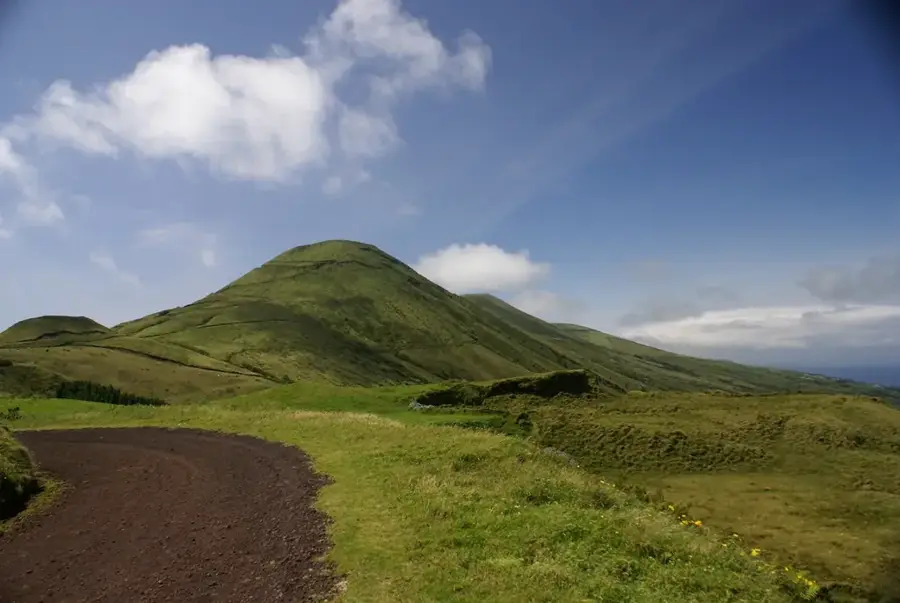
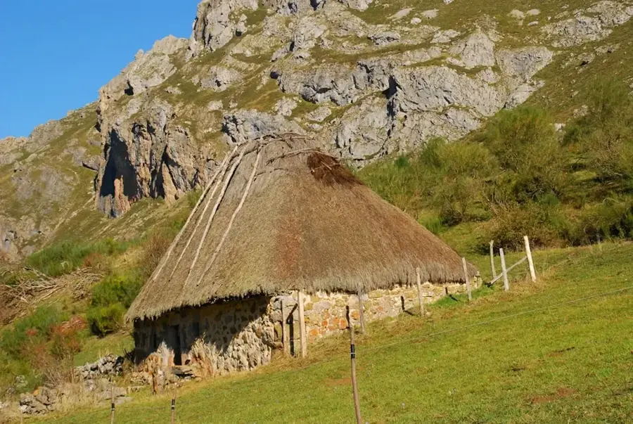
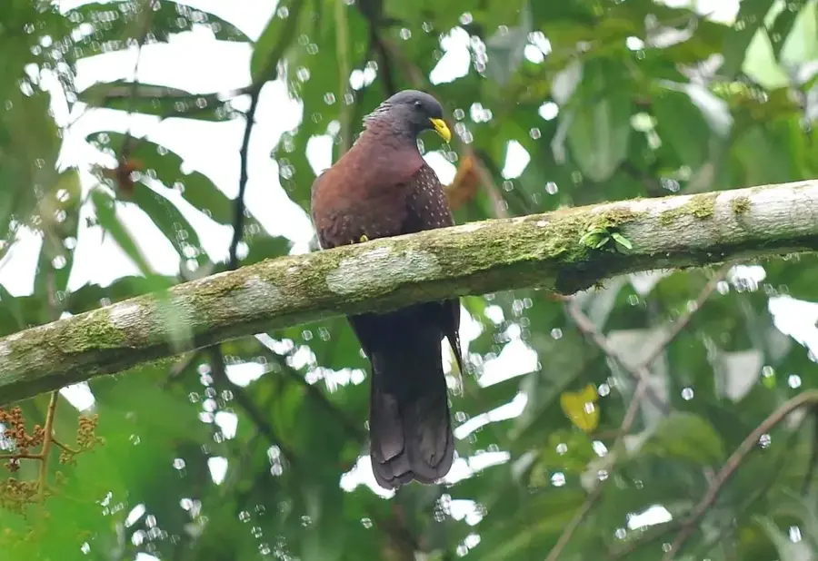
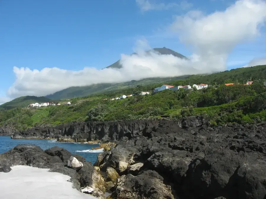
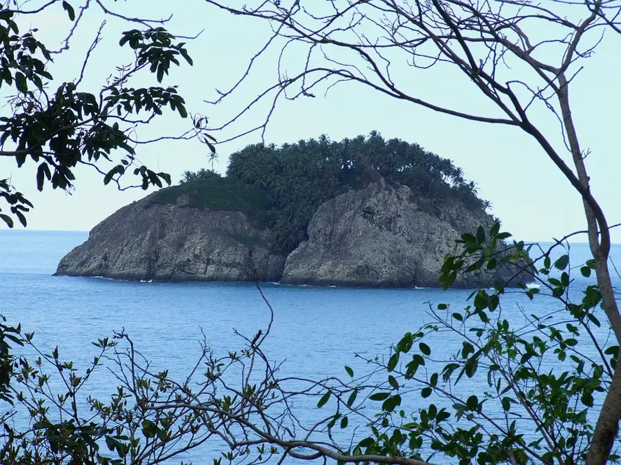
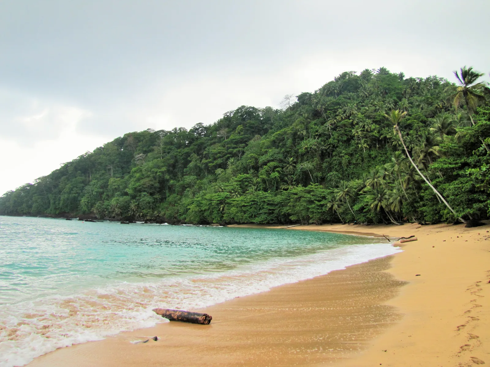
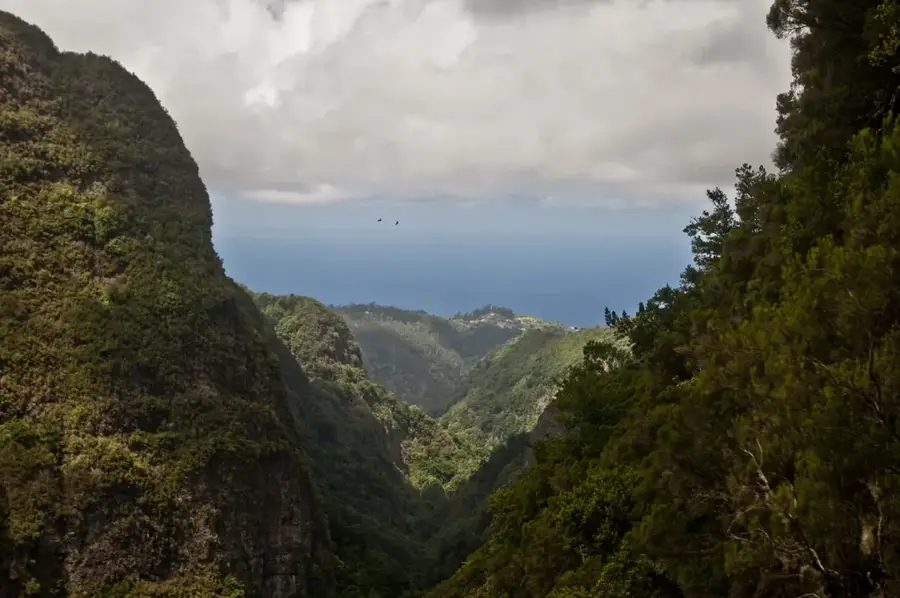
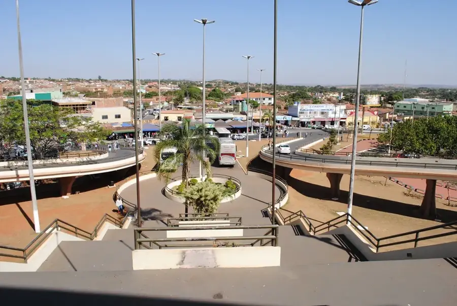
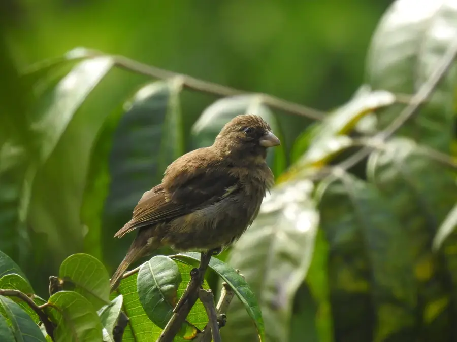
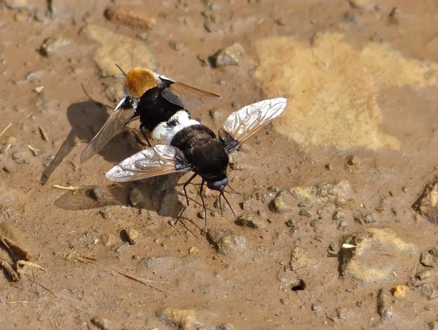
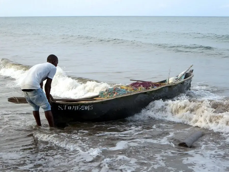
Rio Manuel Jorge is an important river on São Tomé island, flowing through the southeastern Mé-Zóchi district. It originates in the rainy mountains of the interior and meanders through deep-cut valleys before emptying into the Atlantic Ocean. The river is known for its numerous waterfalls and rapids, making it a popular destination for hikers and nature enthusiasts. Historically, Rio Manuel Jorge was vital for the operation of nearby plantations (Roças), such as the famous Roça Água Izé. The vegetation along the river consists of secondary forests and agricultural lands where cocoa, bananas, and coffee are grown. The river's water quality supports a rich aquatic ecosystem, including various freshwater fish and crustaceans that are significant for the local population.
- Location: São Tomé & Príncipe
- Top sights: Santa Clotilde · Anselmo Andrade · Uba Budo
- Nearby: Santana (4 km)
Best time to visit & climate
The most pleasant time to visit is Jul–Sep.
| Jan | Feb | Mar | Apr | May | Jun | Jul | Aug | Sep | Oct | Nov | Dec | |
|---|---|---|---|---|---|---|---|---|---|---|---|---|
| Avg °C | 27 | 28 | 28 | 28 | 27 | 25 | 24 | 25 | 25 | 26 | 26 | 27 |
| Rain mm | 132 | 120 | 162 | 162 | 104 | 29 | 14 | 12 | 22 | 81 | 134 | 133 |
📋 Practical info
Geography
Facts
- Flows through the Mé-Zóchi district of São Tomé.
- Major water source for historical cocoa plantations.
- Features several significant waterfalls and rapids.
- Important for local freshwater fishing and agriculture.
- Passes near the inland town of Trindade.
- Fed by high rainfall in the central volcanic mountains.
Explore nearby
Notable places around
Route planner — Car & Motorhome
Where do you start? We build the route here, with stops and country notes along the way.
© OpenStreetMap contributors · OpenRouteService
Sights in the town Rio Manuel Jorge (3)
Sights nearby
Frequently asked questions
Can one picnic by the river?
Are there waterfalls?
Is the trail well marked?
What is the best season?
Are there many mosquitoes?
Rio Manuel Jorge: where is it located?
Rio Manuel Jorge: what is there to see?
Rio Manuel Jorge: when is the best time to visit?
Rio Manuel Jorge: why is it worth visiting?

Nearby cities


History & landmarks
Nature
More places