Plizio Visual Lab
Rio Cantagalo
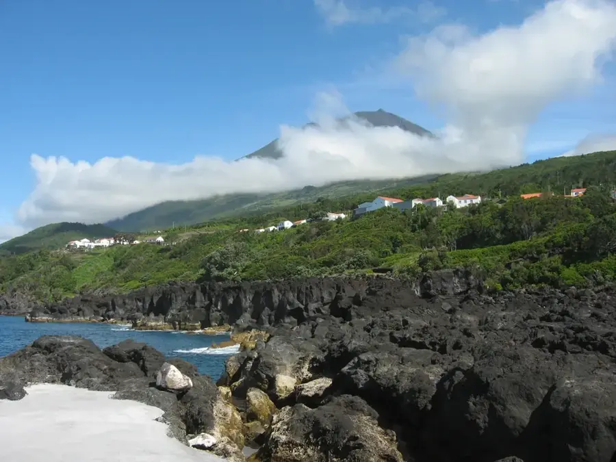
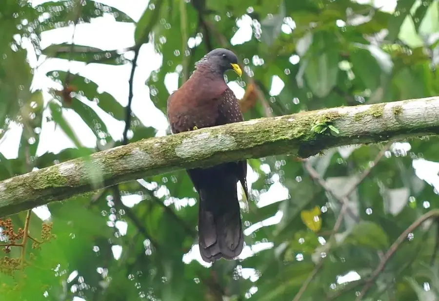
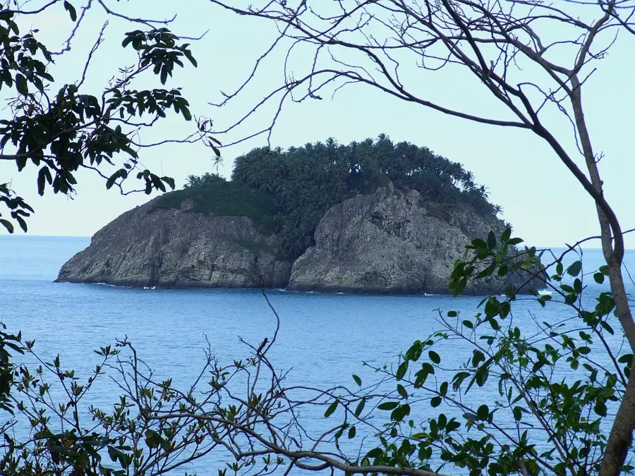
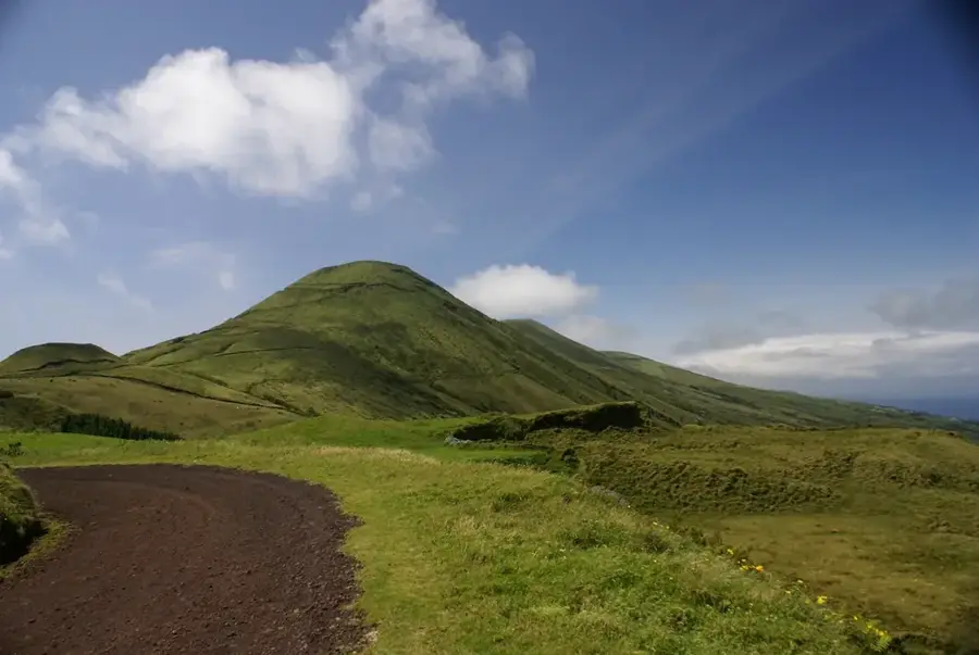
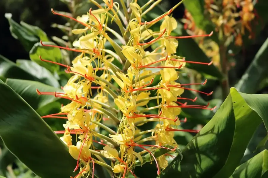
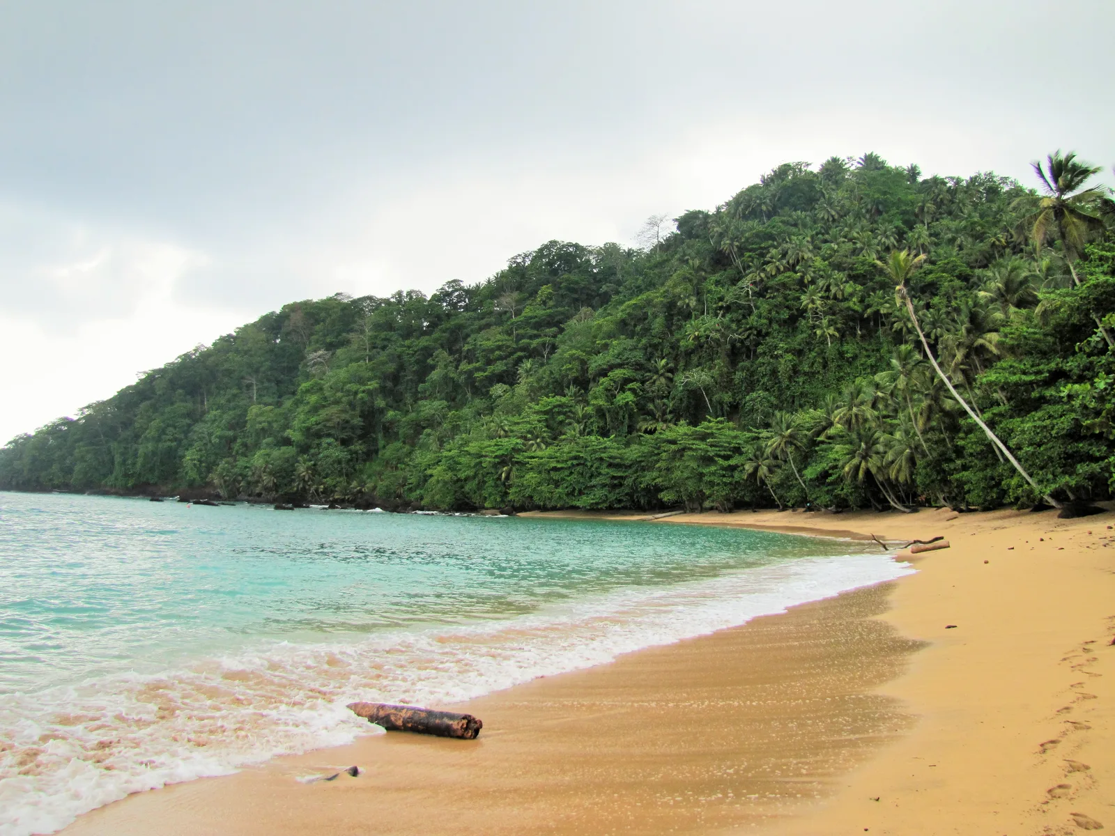
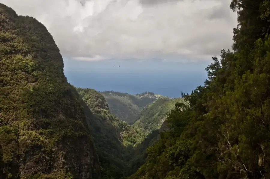
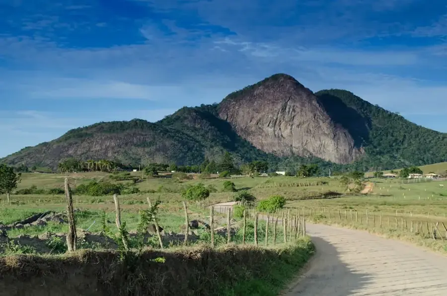
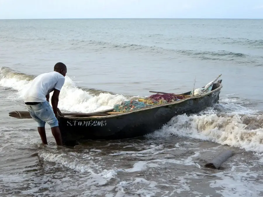
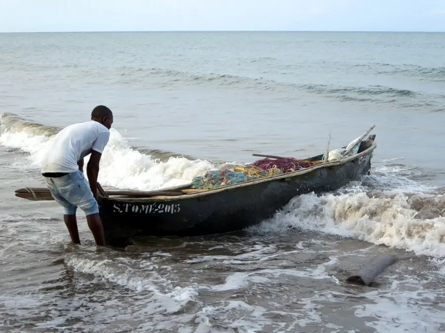
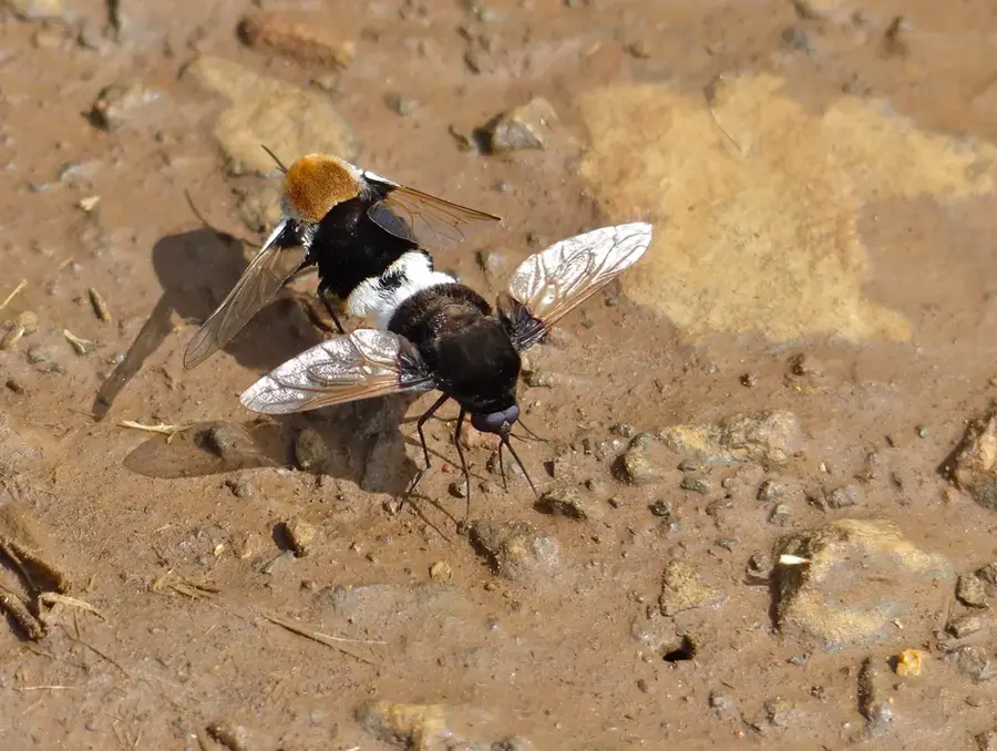
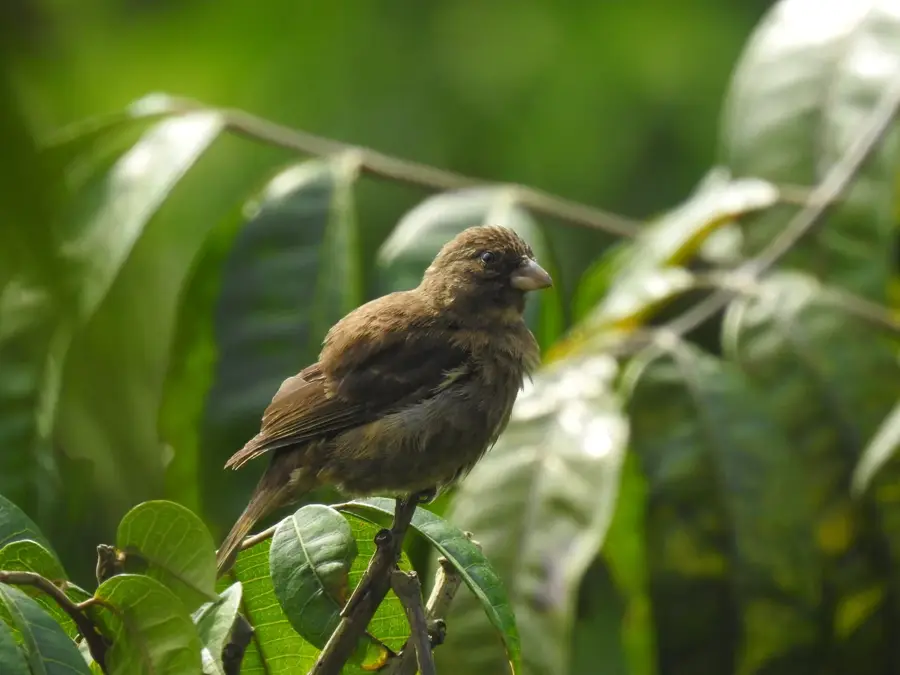
Rio Cantagalo is an important watercourse in the district of the same name on São Tomé island, draining the rainfall-rich areas of the southeastern coast. It originates in the foothills of the central massif and flows through a landscape characterized by historical cocoa plantations and lush tropical vegetation. The river plays a central role in the local economy, as its water is used for irrigation and small-scale energy production. Along its banks, remnants of Atlantic coastal forests can be found, providing a significant refuge for endemic bird species and small mammals. Near its mouth, Rio Cantagalo forms small lagoons and estuaries that serve as a nursery for fish and crustaceans. For travelers, the region around the river provides numerous opportunities for ecotourism and learning about the traditional way of life of fishing communities.
- Location: São Tomé & Príncipe
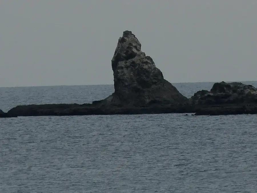
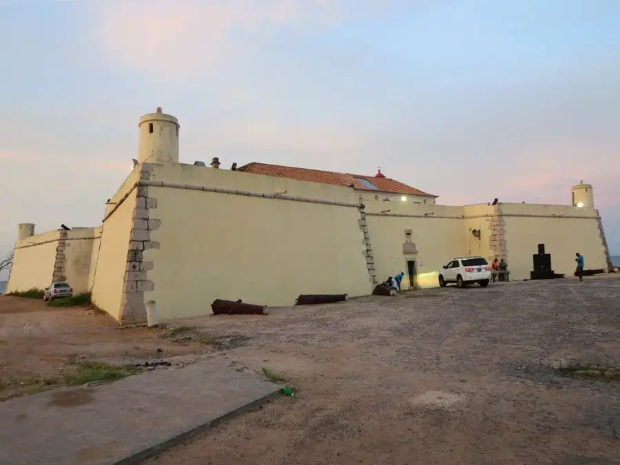
- Top sights: Praia Izé · Boca do Inferno
- Nearby: Ribeira Afonso (6 km)
Best time to visit & climate
The most pleasant time to visit is Jul–Sep.
| Jan | Feb | Mar | Apr | May | Jun | Jul | Aug | Sep | Oct | Nov | Dec | |
|---|---|---|---|---|---|---|---|---|---|---|---|---|
| Avg °C | 27 | 28 | 28 | 28 | 27 | 25 | 24 | 25 | 25 | 26 | 26 | 27 |
| Rain mm | 132 | 120 | 162 | 162 | 104 | 29 | 14 | 12 | 22 | 81 | 134 | 133 |
📋 Practical info
Geography
Facts
- Located in the Cantagalo district of São Tomé.
- Historically vital for regional coffee production.
- Forms ecologically significant estuaries near the coast.
- Home to diverse and healthy mangrove vegetation.
- The source is located in the volcanic foothills.
- Supports the livelihoods of local fishing communities.
Explore nearby
Notable places around
Route planner — Car & Motorhome
Where do you start? We build the route here, with stops and country notes along the way.
© OpenStreetMap contributors · OpenRouteService
Sights in the town Rio Cantagalo (2)
Sights nearby
Frequently asked questions
How difficult is the hike along Rio Cantagalo?
Are there parking facilities near the river?
When is the best time of year to visit?
Is the water suitable for swimming?
Do I need a local guide?
Rio Cantagalo: where is it located?
Rio Cantagalo: what is there to see?
Rio Cantagalo: when is the best time to visit?
Rio Cantagalo: why is it worth visiting?

Nearby cities


History & landmarks
Nature

More places