Plizio Visual Lab
Wechsel

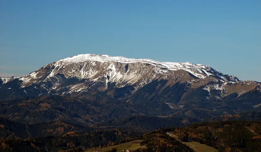
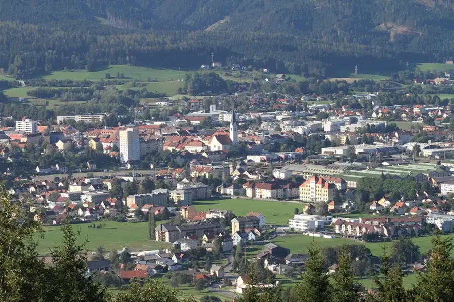
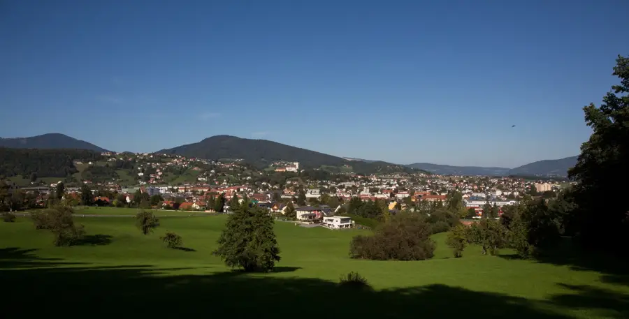
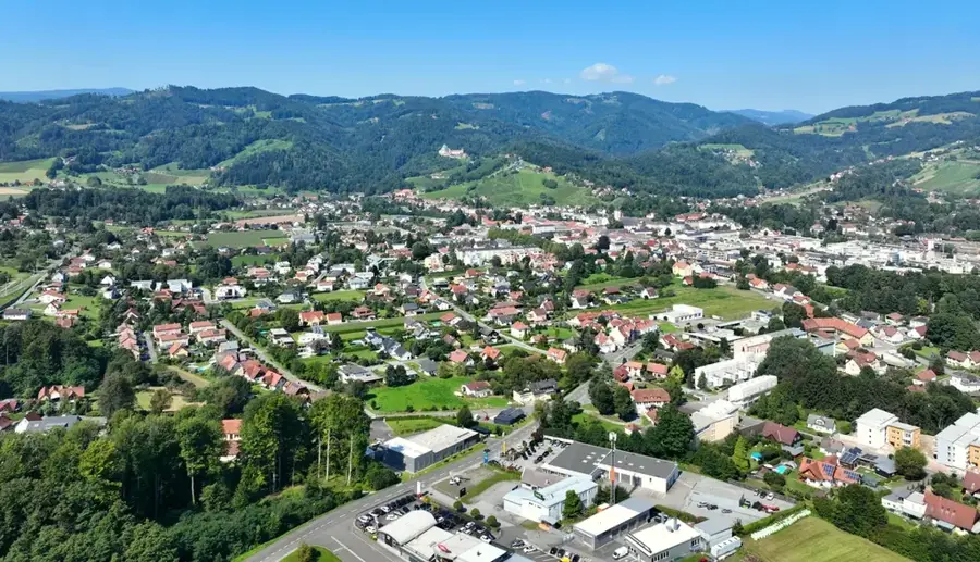
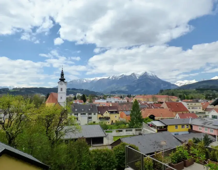
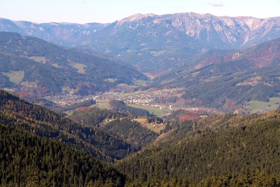
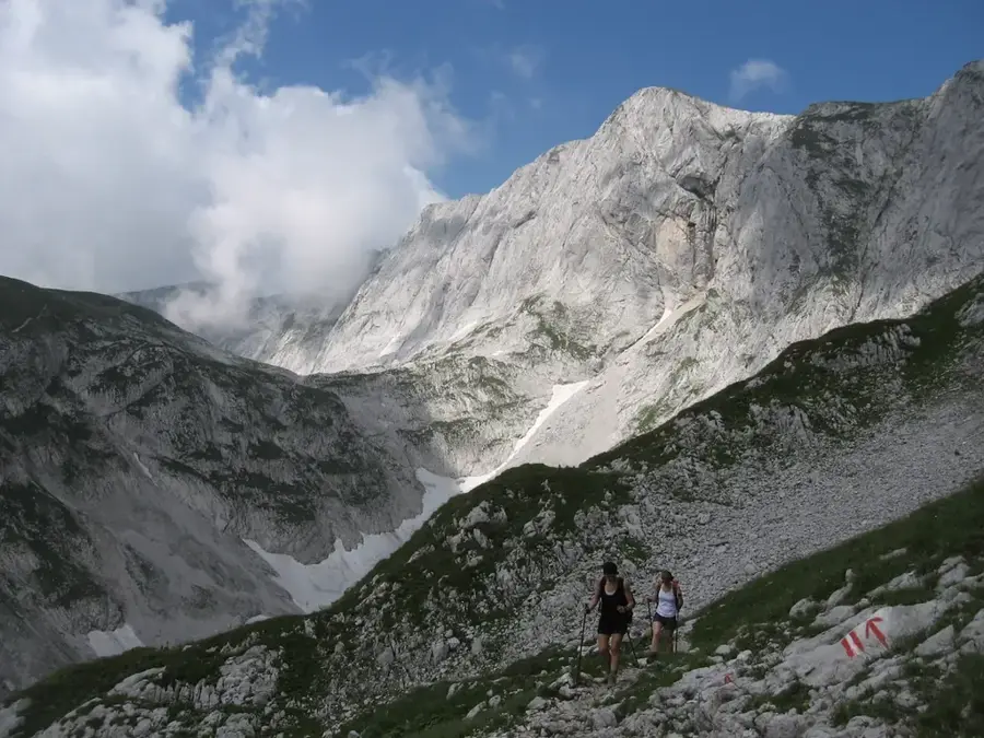
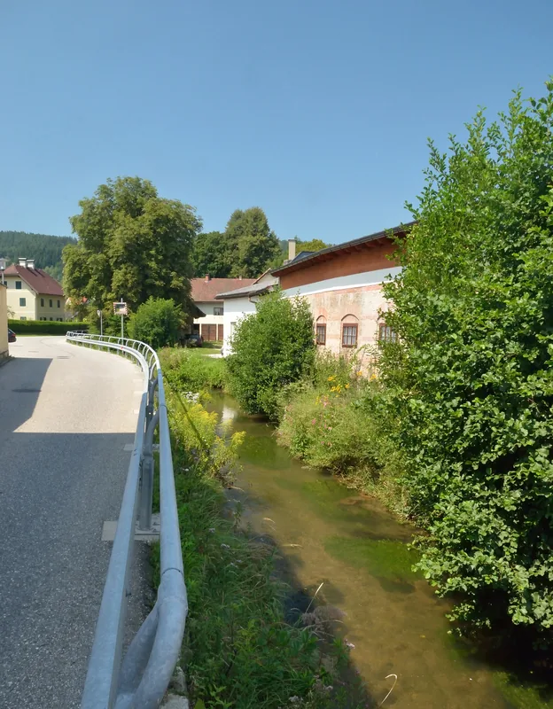
The Wechsel is an elongated mountain massif on the border between the Austrian states of Lower Austria and Styria. It forms the eastern end of the Central Alps before transitioning into the hills of Burgenland and the Pannonian Plain. The highest elevation is the Hochwechsel at 1743 meters, which features a prominent summit house offering far-reaching views as far as Lake Neusiedl. Geologically, the massif consists mainly of gneiss and mica schist, leading to a rather gentle, rolling topography in contrast to the rugged Limestone Alps. The region is famous for its extensive alpine pastures, known as 'Schwaigen', which serve as summer grazing grounds for cattle and are popular hiking destinations. In winter, the Wechsel is a significant center for cross-country skiing with the Panorama Trail that runs across the entire plateau. Historically, the Wechsel was a site of heavy fighting at the end of World War II, commemorated today by monuments at the summit. Due to the gentle slopes, the area is particularly popular for hiking among families and seniors. Good accessibility from Vienna and Graz makes the Wechsel an important local recreation area for the eastern region.
- Location: Styria, Austria
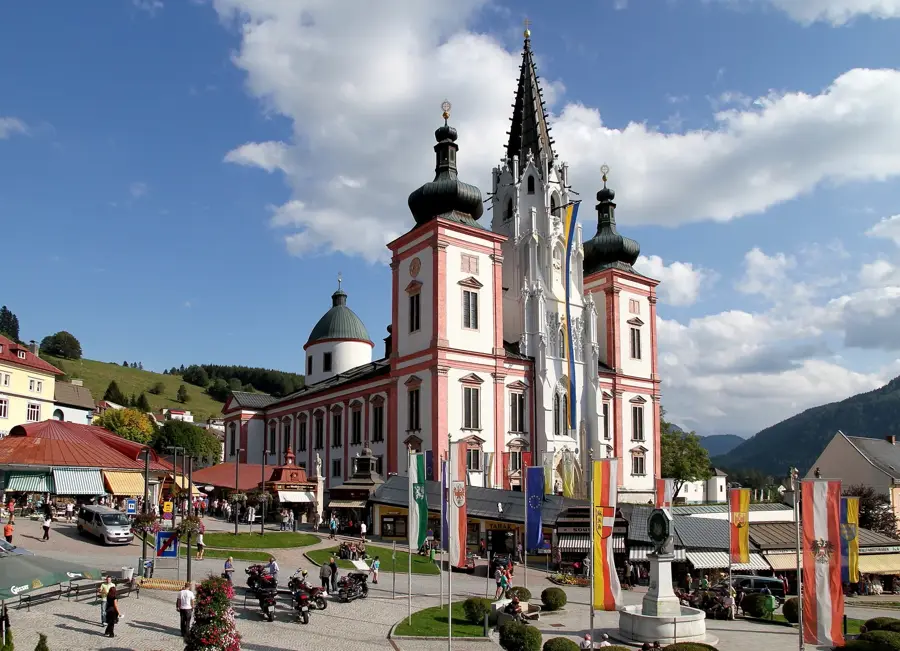
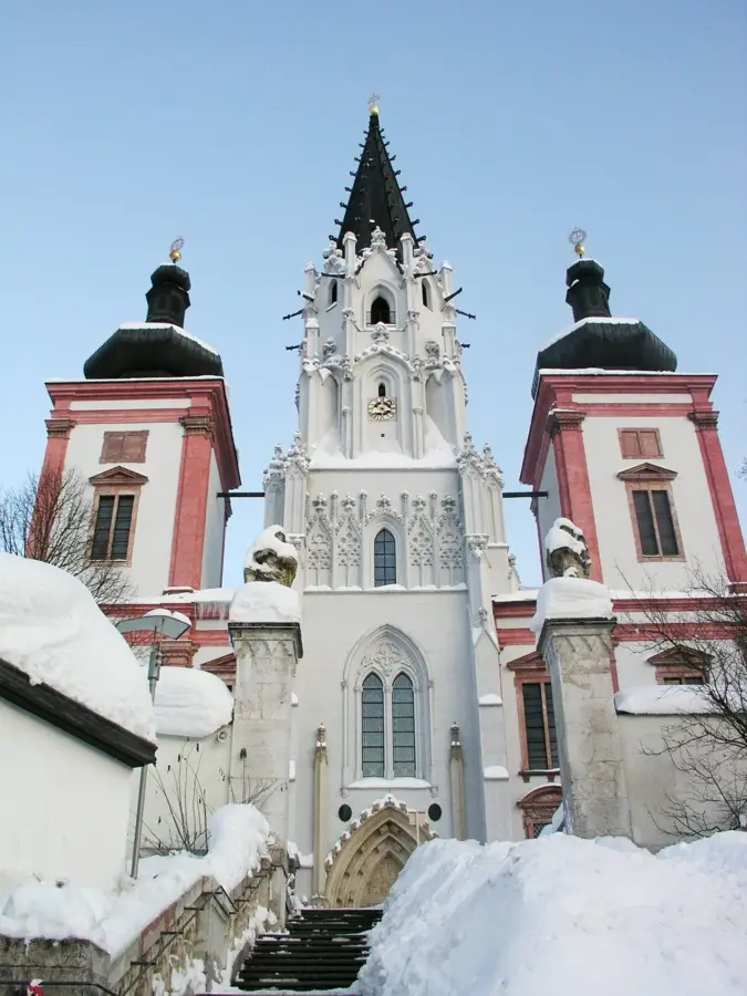
- Top sights: Labyrinth Mensch · Stuhleck · Großer Pfaff
- Nearby: Semmering (10 km)
Best time to visit & climate
The most pleasant time to visit is Jun–Aug.
| Jan | Feb | Mar | Apr | May | Jun | Jul | Aug | Sep | Oct | Nov | Dec | |
|---|---|---|---|---|---|---|---|---|---|---|---|---|
| Avg °C | -2 | 0 | 4 | 9 | 14 | 18 | 21 | 20 | 15 | 9 | 4 | -1 |
| Rain mm | 39 | 40 | 46 | 45 | 87 | 98 | 95 | 96 | 86 | 59 | 52 | 44 |
📋 Practical info
Geography
Facts
- Hochwechsel is the highest peak of the group at 1743 meters.
- The name 'Wechsel' refers to the watershed between the Danube and Mur rivers.
- The Wechsel-Semmering Panorama Trail is over 100 kilometers long.
- The 'Schwaigen' are typical alpine pastures of the Wechsel region.
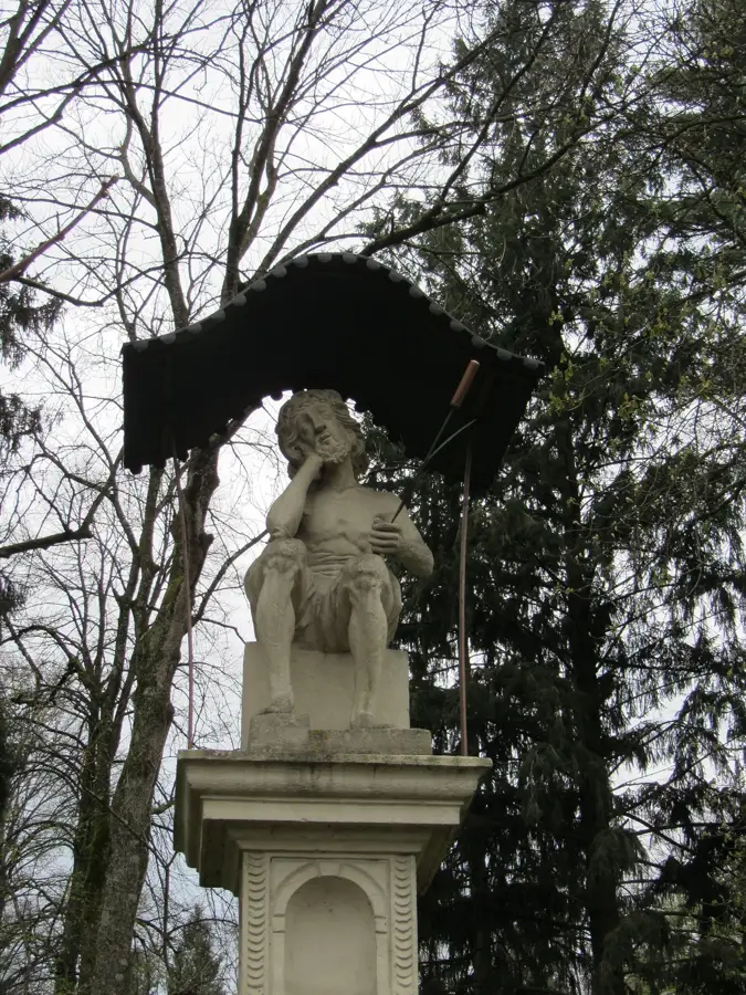
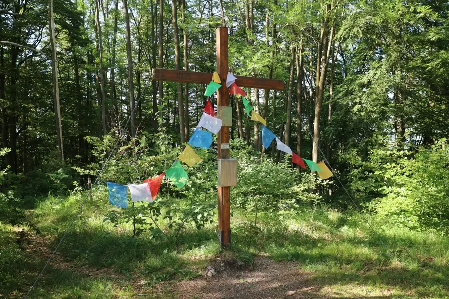
- There is a monument for those who fell in the 1945 battles at the summit.
- The mountain massif extends over a length of approximately 15 kilometers.
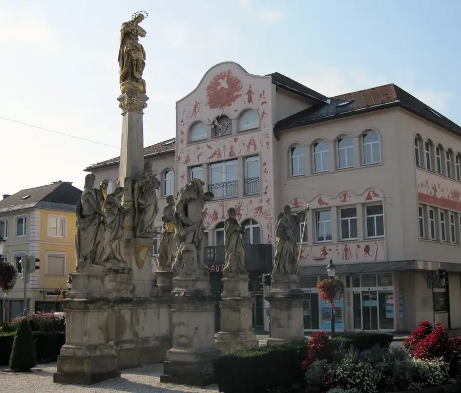
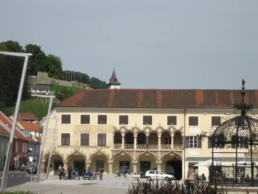
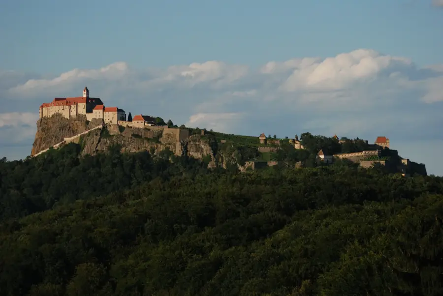
Explore nearby
Notable places around
Route planner — Car & Motorhome
Where do you start? We build the route here, with stops and country notes along the way.
© OpenStreetMap contributors · OpenRouteService
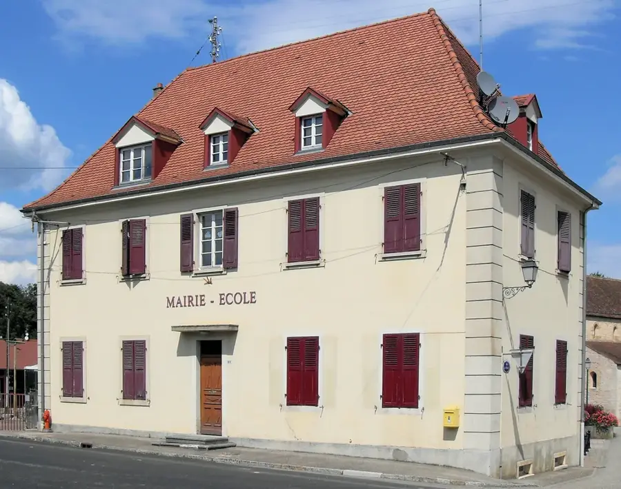
Sights in the town Wechsel (6)
Sights nearby
Frequently asked questions
Why is the Wechsel a popular excursion destination?
What is the highest point of the Wechsel?
Are there managed huts there?
Is the Wechsel suitable for families?
Can you go cross-country skiing there in winter?
Wechsel: where is it located?
Wechsel: what is there to see?
Wechsel: when is the best time to visit?
Wechsel: why is it worth visiting?

Nearby cities
History & landmarks
Nature
More places