Plizio Visual Lab
Hochschwab Peak
Weather…
Water temperature…
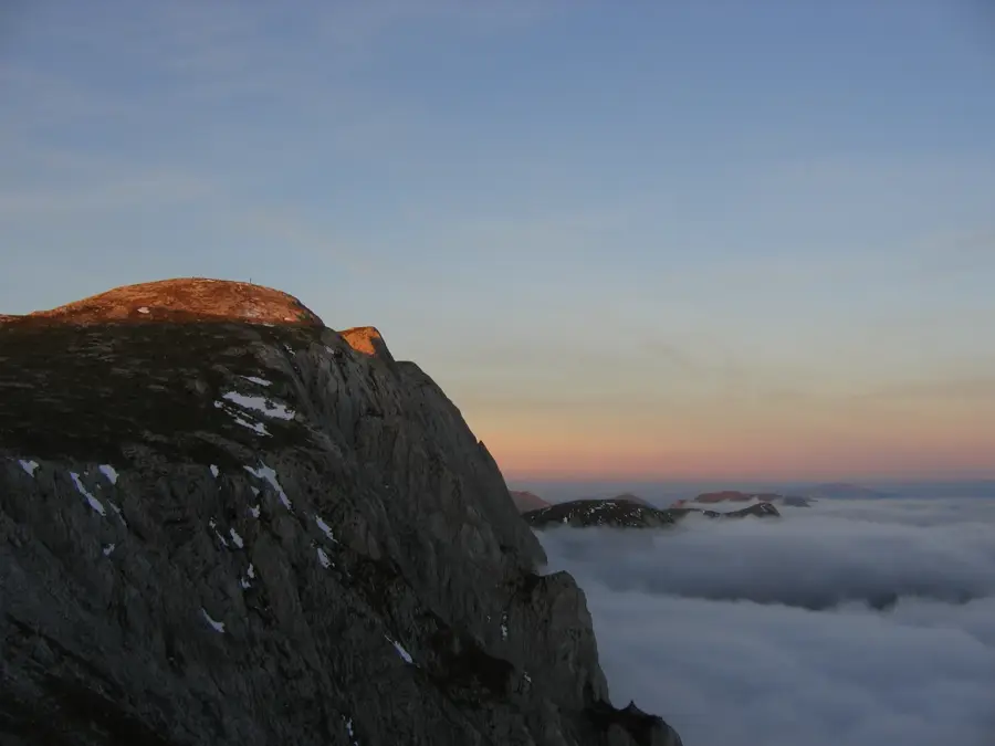
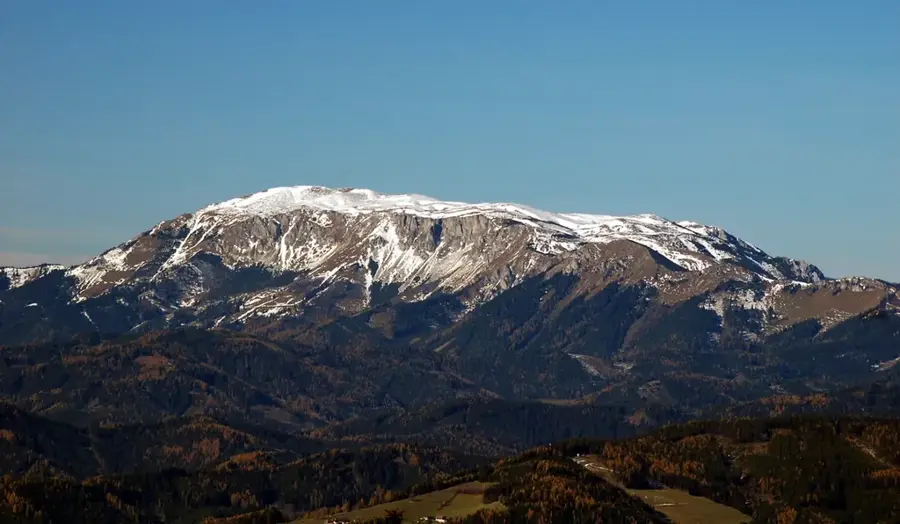
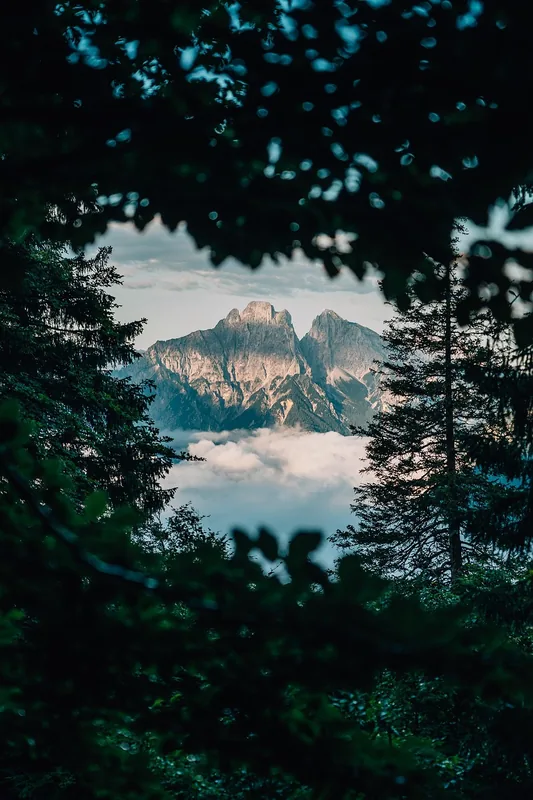
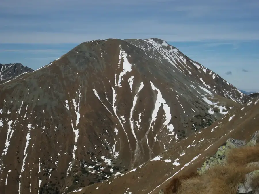
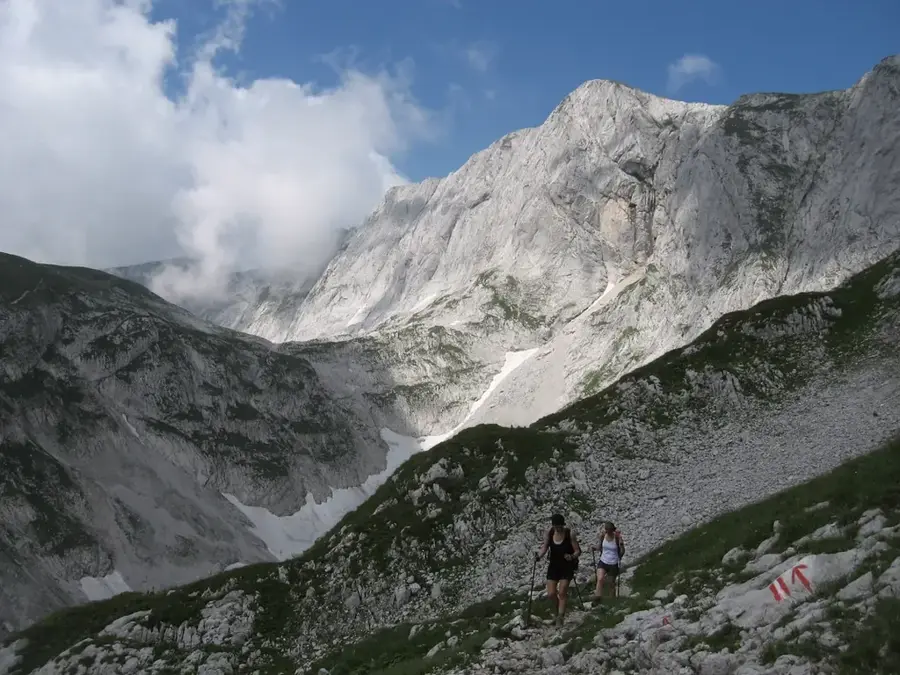
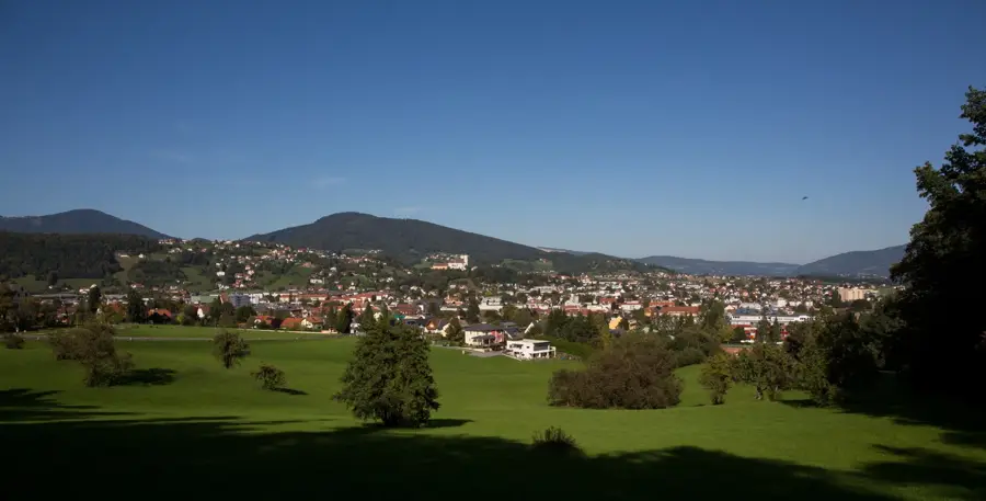
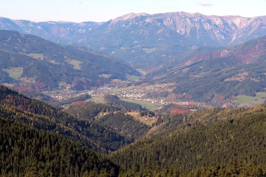
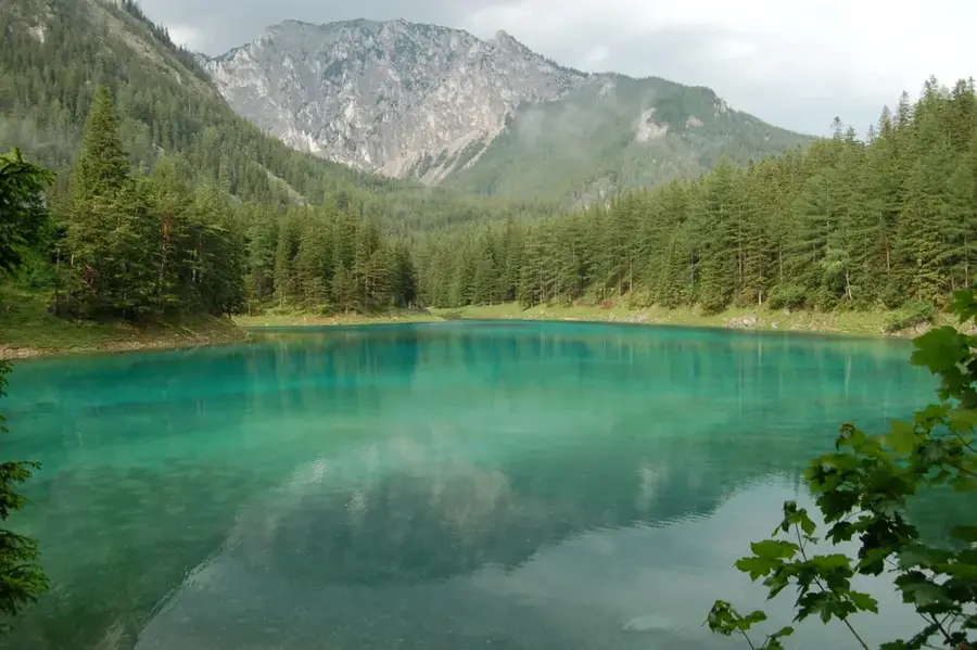
The Hochschwab is the central massif of the mountain group of the same name in Styria, reaching an elevation of 2,277 meters at its main summit. The massif is characterized by a vast, plateau-like highland surrounded by rugged cliffs and deep valleys. Geologically, the Hochschwab consists primarily of Triassic limestone, leading to prominent karst phenomena such as caves and sinkholes. The mountain holds immense significance for water management: a large portion of Vienna's drinking water is sourced here via the Second Vienna Mountain Spring Pipeline. The region is also famous for its exceptionally large chamois population, which is among the densest in Europe. Hikers value the Hochschwab for its extensive trail network and alpine flora, while climbers find challenging routes in the steep southern faces. The Schiestlhaus near the summit is recognized as one of the most modern and ecologically sustainable mountain huts in the Alps.
- Location: Styria, Austria
- Top sights: Fölzstein · Fölzkogel · Karlhochkogel
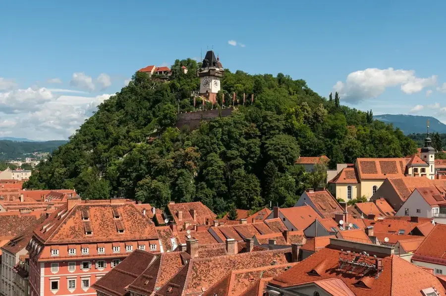
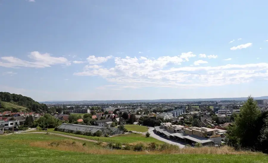
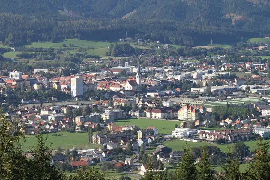
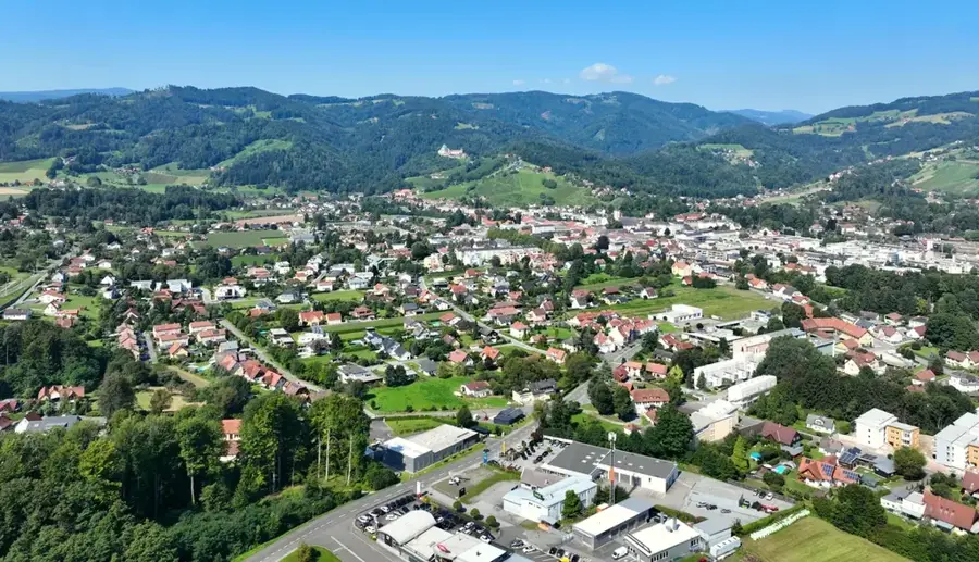
- Nearby: Kapfenberg (22 km)
Best time to visit & climate
The most pleasant time to visit is Jun–Aug.
| Jan | Feb | Mar | Apr | May | Jun | Jul | Aug | Sep | Oct | Nov | Dec | |
|---|---|---|---|---|---|---|---|---|---|---|---|---|
| Avg °C | -4 | -3 | 1 | 6 | 10 | 14 | 16 | 16 | 11 | 7 | 2 | -3 |
| Rain mm | 58 | 53 | 61 | 60 | 118 | 142 | 149 | 152 | 113 | 79 | 62 | 56 |
📋 Practical info
Geography
Facts
- The summit of Hochschwab stands at 2,277 meters above sea level.
- Schiestlhaus was the first passive-house mountain hut in the Alps.
- About 60 percent of Vienna's water originates from the Hochschwab area.
- The region is home to over 5,000 chamois, one of Europe's largest populations.
- The Second Vienna Mountain Spring Pipeline was opened in the year 1910.
- The Hochschwab is famous for its massive cliffs dropping over 1,000 meters.
Explore nearby
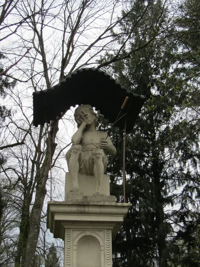
Notable places around
Route planner — Car & Motorhome
Where do you start? We build the route here, with stops and country notes along the way.
© OpenStreetMap contributors · OpenRouteService
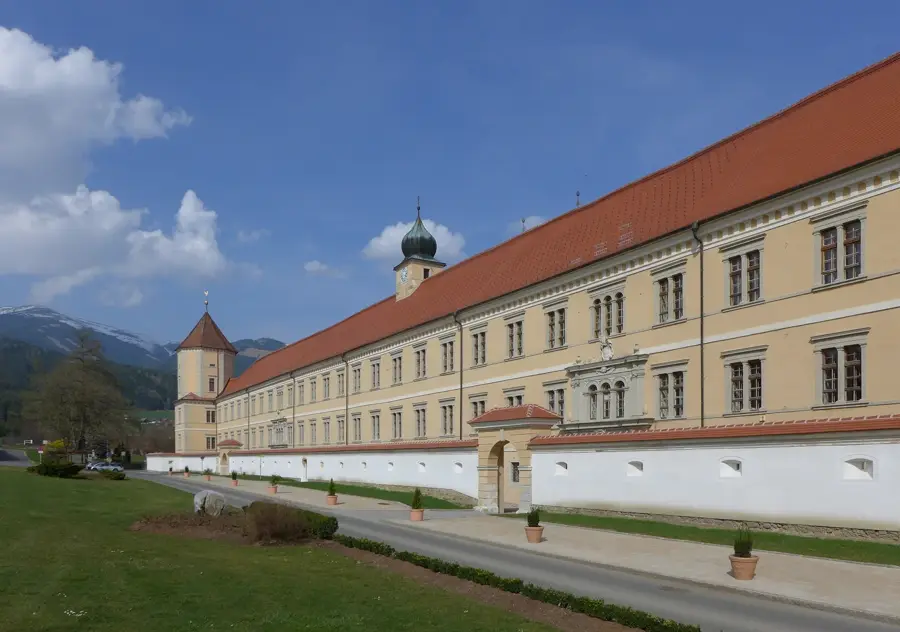
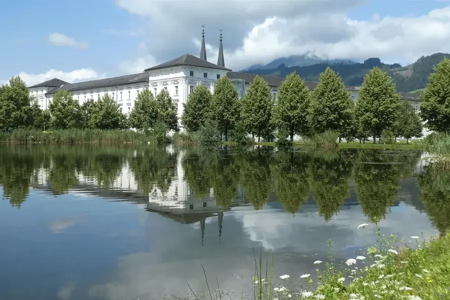
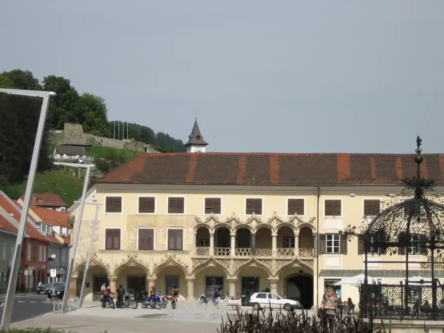
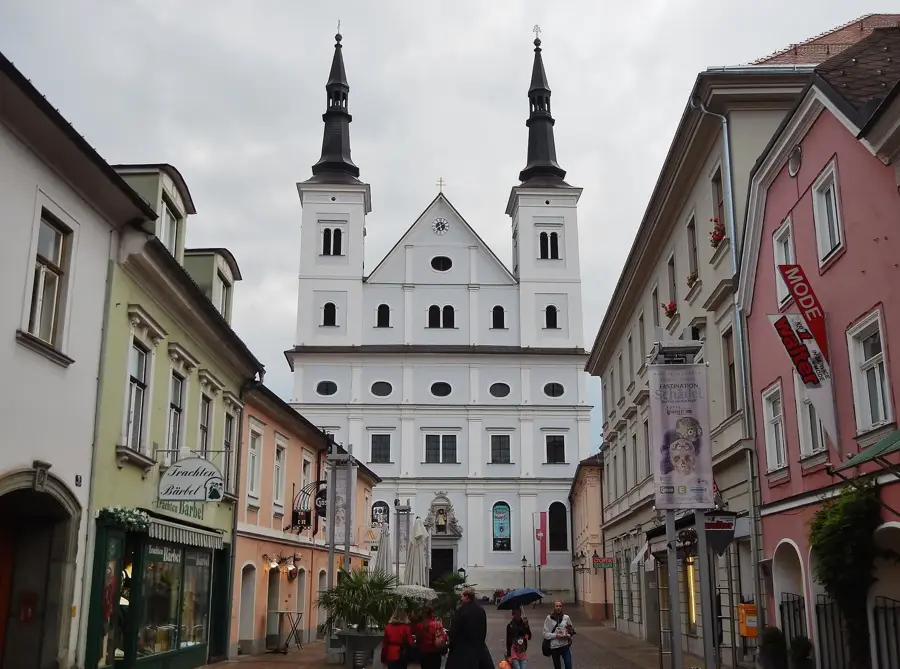
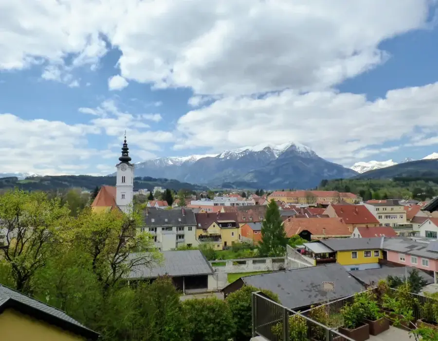
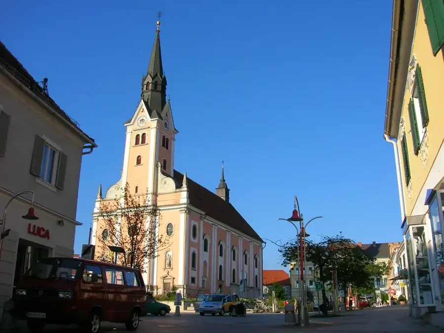
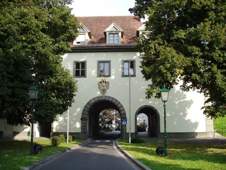
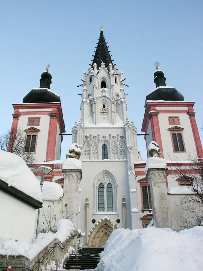
Sights in the town Hochschwab Peak (3)
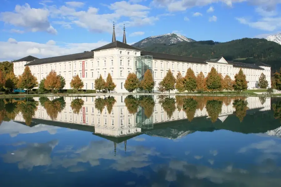
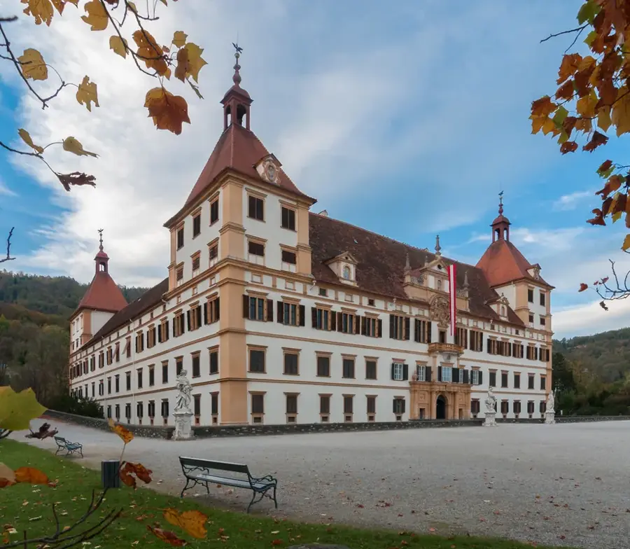
Sights nearby
Frequently asked questions
What is the Hochschwab known for?
How high is the summit?
What animals can often be seen here?
What is the 'Schiestlhaus'?
Is the water there drinkable?
Hochschwab Peak: where is it located?
Hochschwab Peak: what is there to see?
Hochschwab Peak: when is the best time to visit?
Hochschwab Peak: why is it worth visiting?

Nearby cities
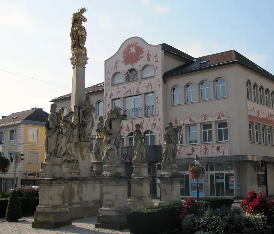
History & landmarks
Nature
More places