Plizio Visual Lab
Hochschwab
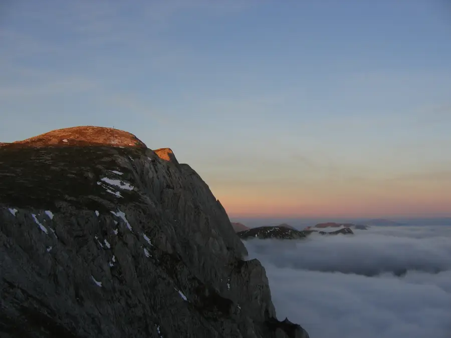
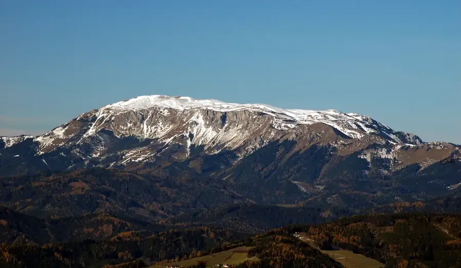
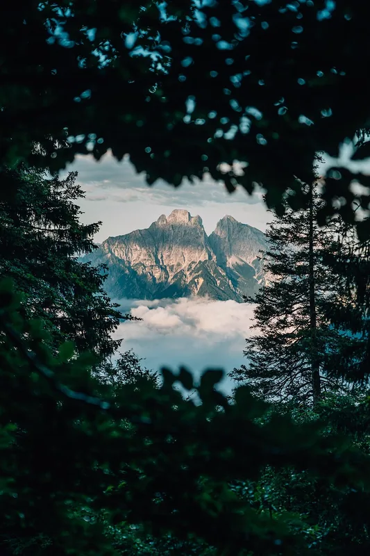
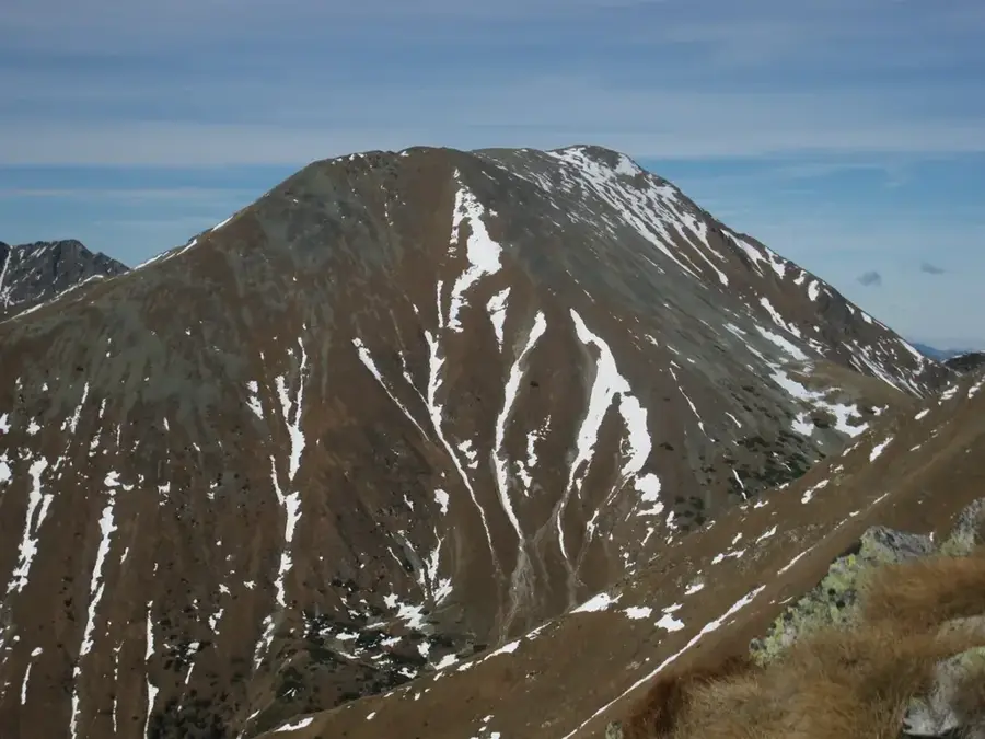
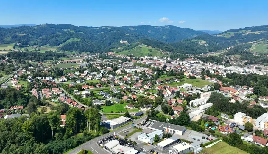
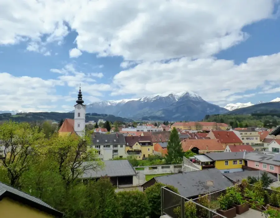
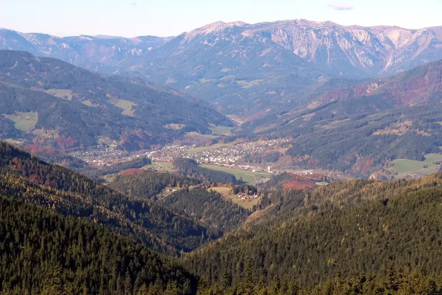
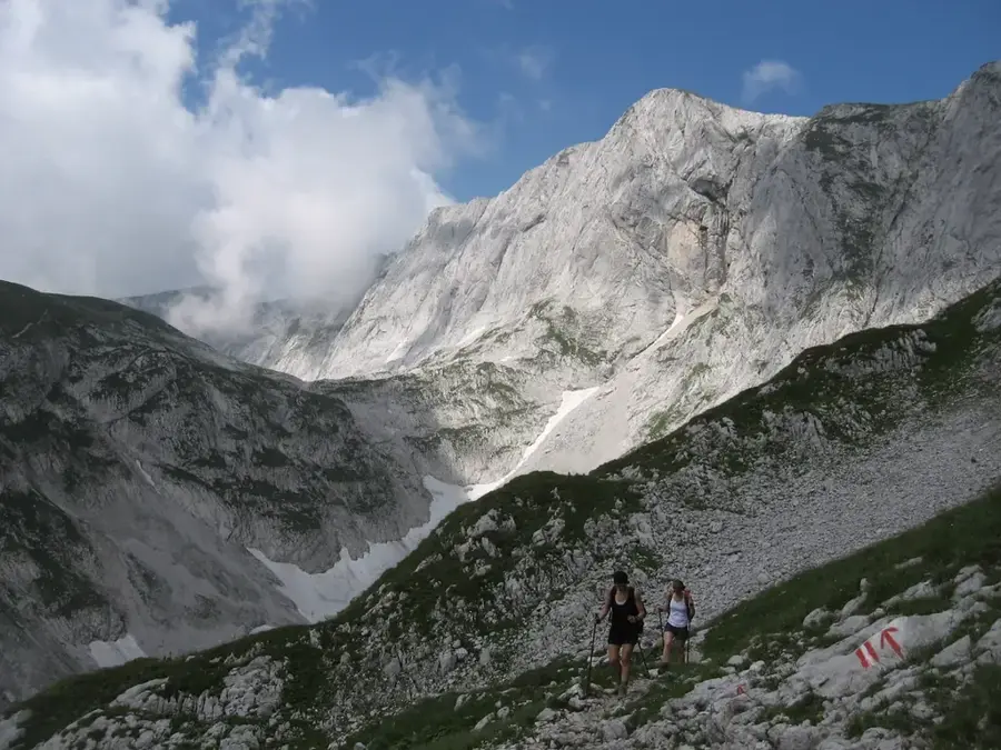
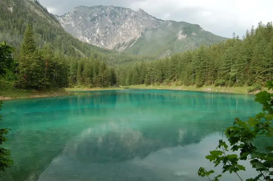
The Hochschwab Group in Styria is a prominent limestone massif of the Northern Limestone Alps and covers an area of about 400 square kilometers. The main peak of the same name reaches an altitude of 2277 meters and is famous for its extensive high plateau, which is often said to have the highest density of chamois in Europe. Geologically, the mountain range is characterized by deeply furrowed karst, leading to the formation of numerous caves and sinkholes. The Hochschwab has outstanding significance for Austria's water supply, as it is the source of the Second Vienna Mountain Spring Pipeline, which has been delivering top-quality drinking water to Vienna since 1910. The vegetation on the plateaus is adapted to extreme climatic conditions, with subalpine grasslands and mountain pines dominating the landscape. Historically, the region was an important center for iron processing, which can still be seen today in the monuments of the surrounding valleys. For mountaineers, the Hochschwab has demanding climbing routes and an extensive network of hiking trails leading through a largely untouched alpine wilderness. Weather conditions on the exposed plateau can change very rapidly, requiring thorough preparation for every tour.
- Location: Styria, Austria
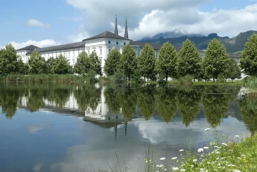
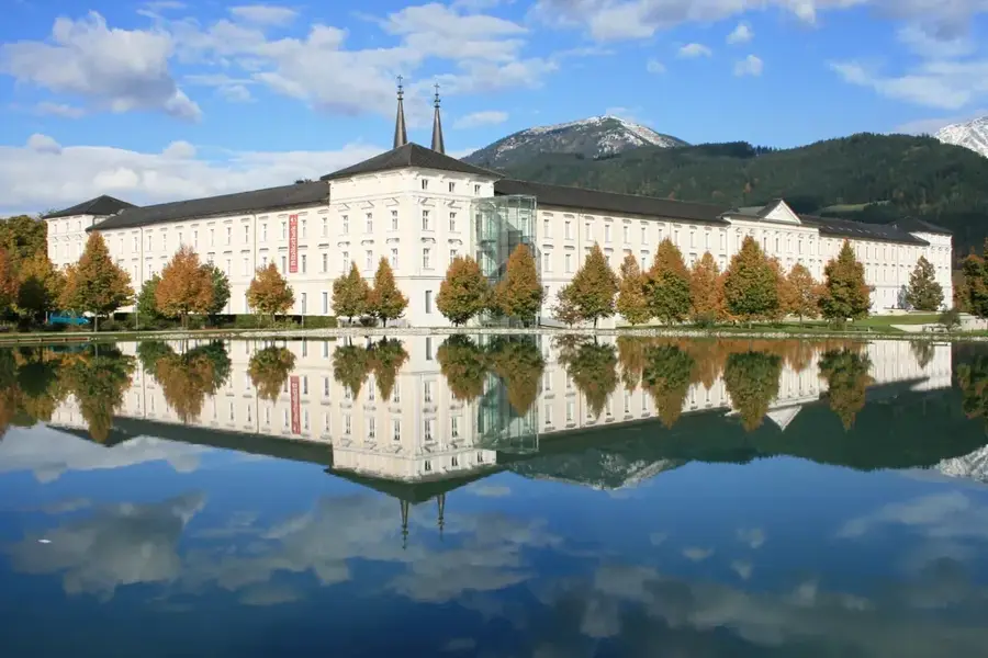
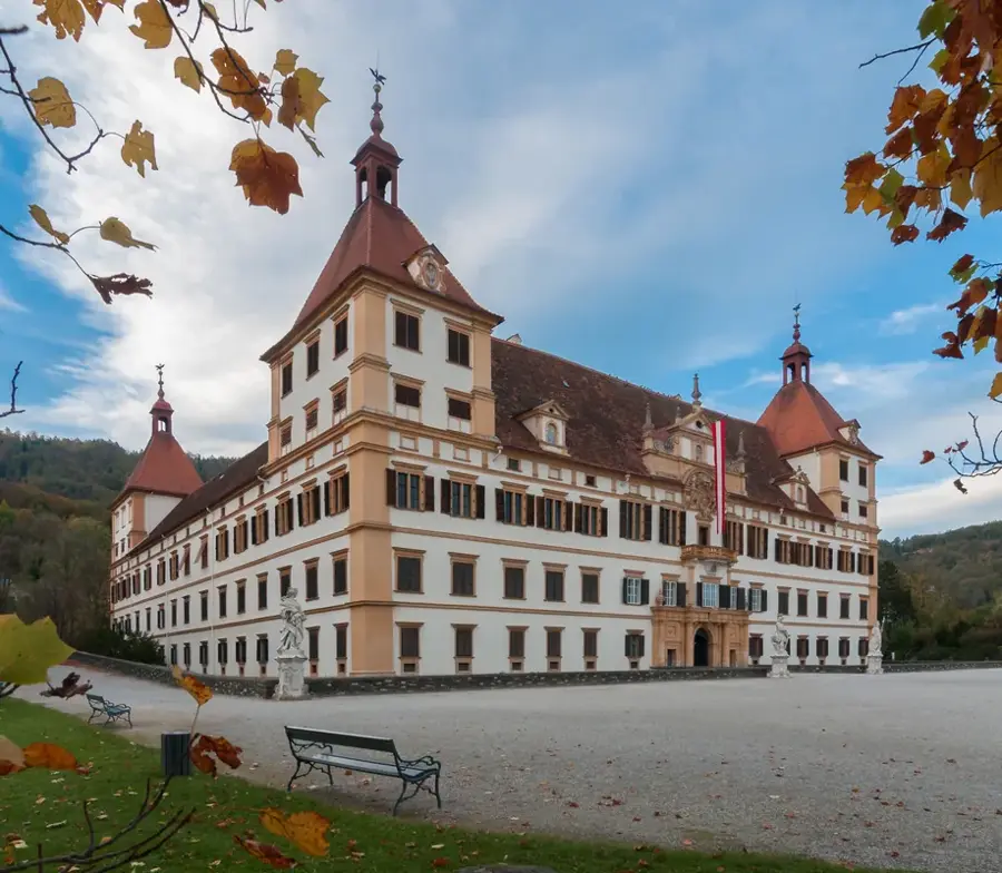
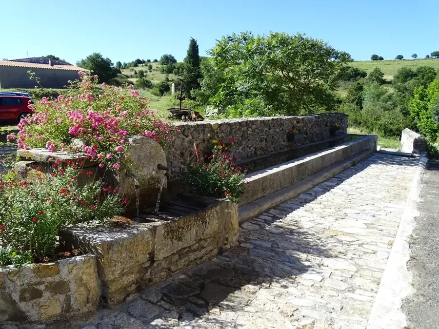
- Top sights: Hochschwabmuseum · Buchbergkogel · Zinken
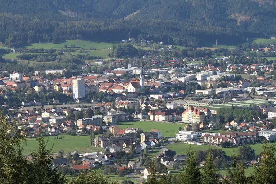
- Nearby: Trofaiach (22 km)
Best time to visit & climate
The most pleasant time to visit is Jun–Aug.
| Jan | Feb | Mar | Apr | May | Jun | Jul | Aug | Sep | Oct | Nov | Dec | |
|---|---|---|---|---|---|---|---|---|---|---|---|---|
| Avg °C | -4 | -3 | 1 | 6 | 10 | 14 | 16 | 16 | 11 | 7 | 2 | -3 |
| Rain mm | 58 | 53 | 61 | 60 | 118 | 142 | 149 | 152 | 113 | 79 | 62 | 56 |
📋 Practical info
Geography
Facts
- The main peak of Hochschwab is 2277 meters above sea level.
- The region is home to a population of approximately 5000 chamois.
- The Second Vienna Mountain Spring Pipeline was completed in 1910.
- The mountain massif covers a total area of about 400 square kilometers.
- There are over 1000 registered caves within the Hochschwab massif.
- The Schiestlhaus on the plateau is a modern passive-house alpine hut.
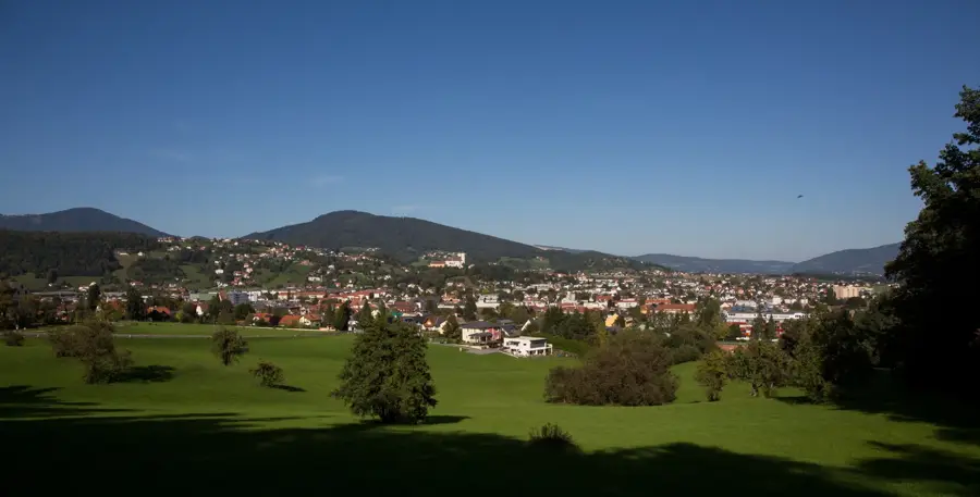
Explore nearby
Notable places around
Route planner — Car & Motorhome
Where do you start? We build the route here, with stops and country notes along the way.
© OpenStreetMap contributors · OpenRouteService
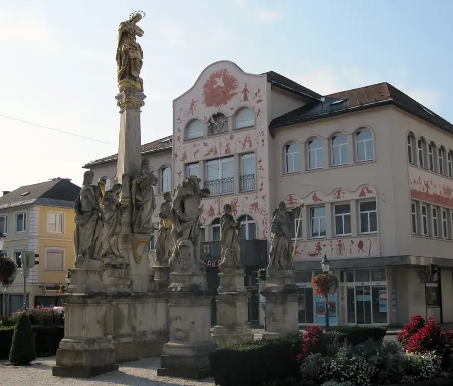
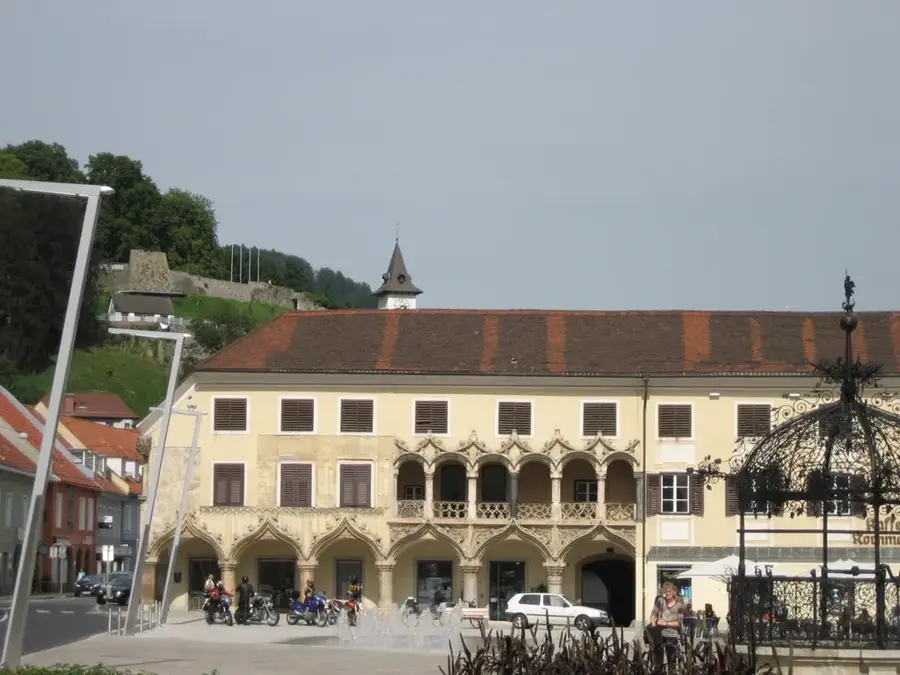
Sights in the town Hochschwab (4)
Sights nearby
Frequently asked questions
Which animal is the symbol of the Hochschwab?
Why is the Hochschwab important for Vienna?
How high is the highest peak?
Are there many springs there?
Is the Hochschwab a hiking area?
Hochschwab: where is it located?
Hochschwab: what is there to see?
Hochschwab: when is the best time to visit?
Hochschwab: why is it worth visiting?

Nearby cities
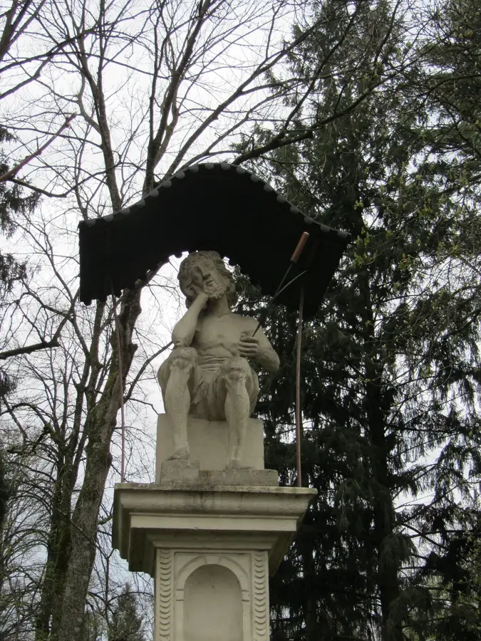
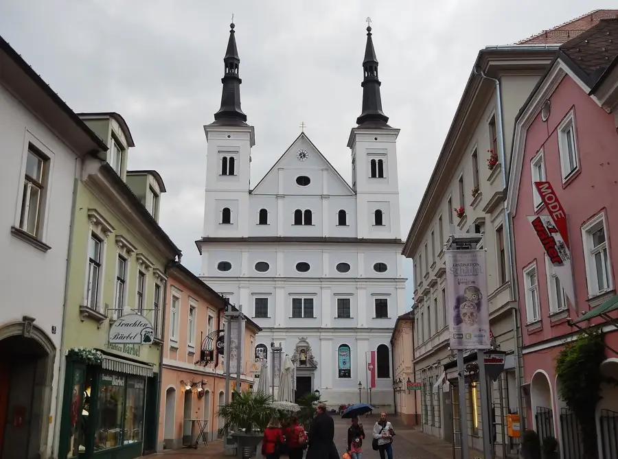
History & landmarks
Nature
More places