Plizio Visual Lab
Salza River
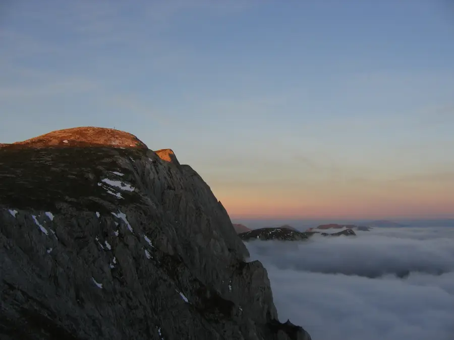
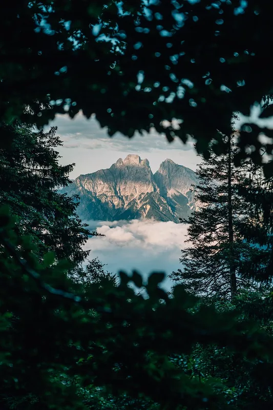
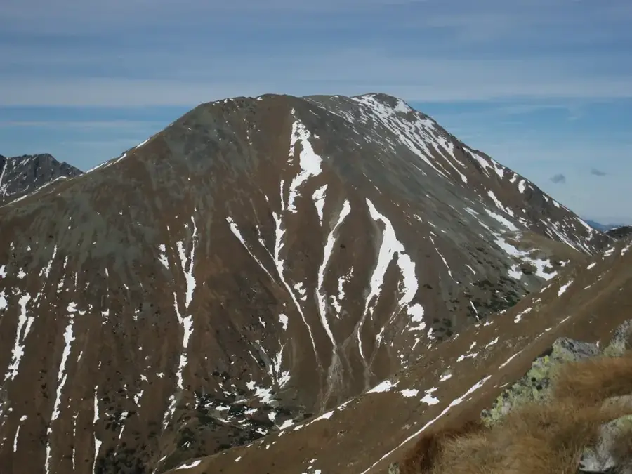
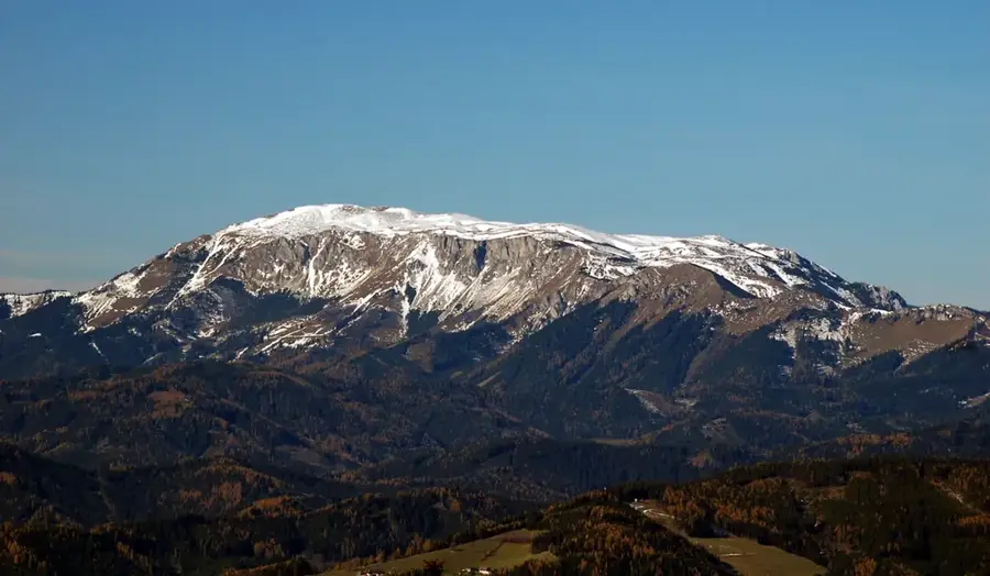
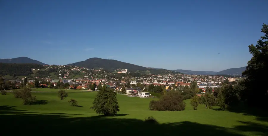
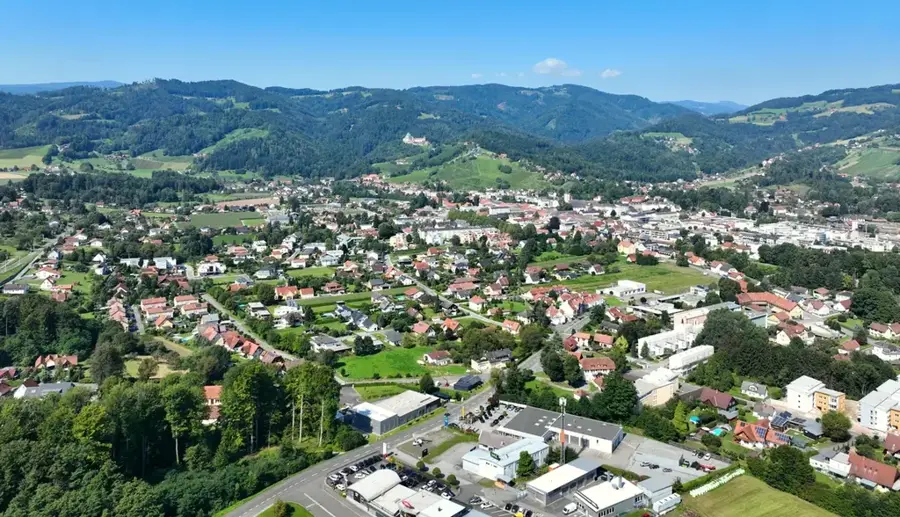
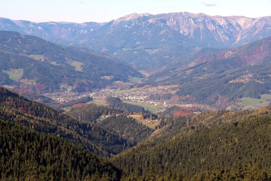
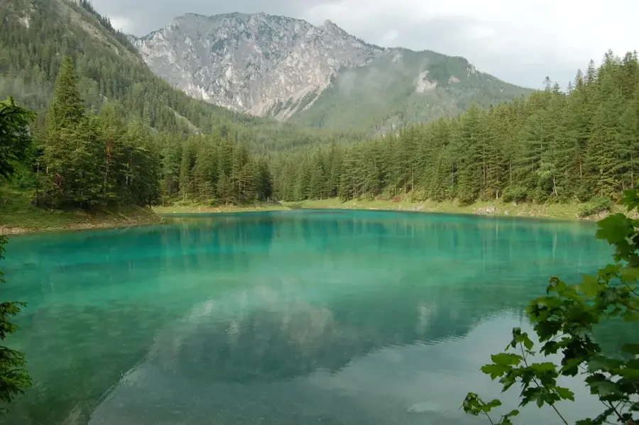
The Salza is an 88-kilometer-long river in Styria, widely regarded as one of the most pristine wild rivers in the Eastern Alps. It originates near Traisenberg in Lower Austria but flows primarily through the Styrian Limestone Alps before joining the Enns River at Großreifling. The Salza is famous for its crystal-clear turquoise water and its largely undeveloped riverbanks. It is an internationally renowned destination for whitewater sports, including rafting and kayaking. A significant portion of its water is diverted into the Second Vienna Mountain Spring Pipeline to provide high-quality drinking water to the city of Vienna. The Salza carves through impressive conglomerate gorges and provides a vital habitat for sensitive fish species such as brown trout and grayling. The untouched nature along its course, particularly within the Eisenwurzen Nature Park, makes the region a key destination for eco-tourism and outdoor enthusiasts.
- Location: Styria, Austria
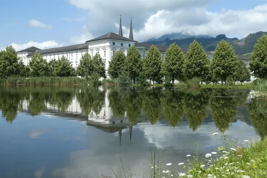
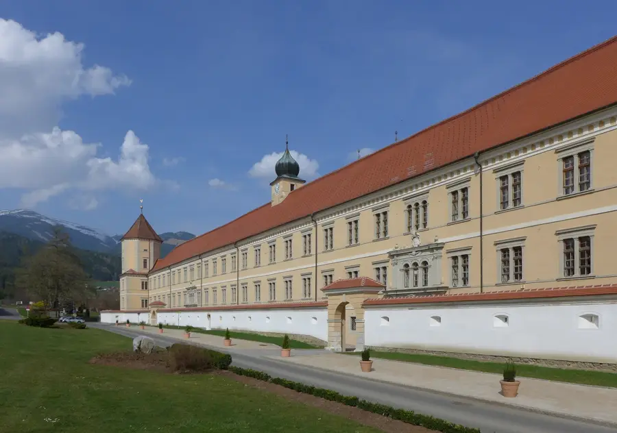
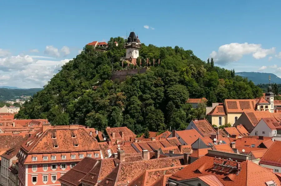
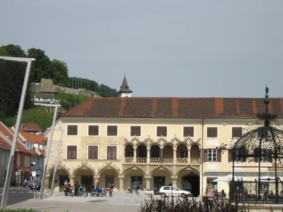
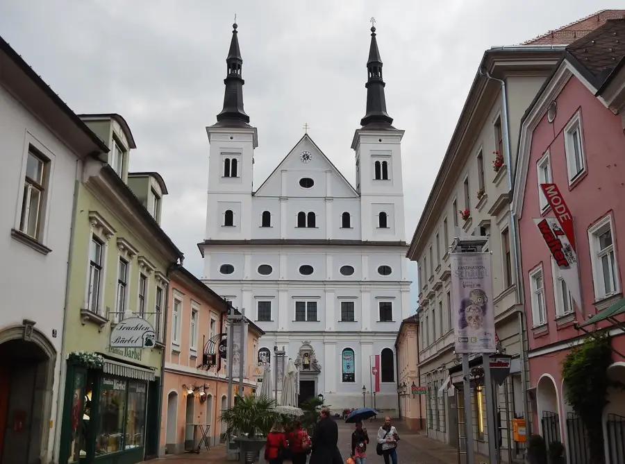
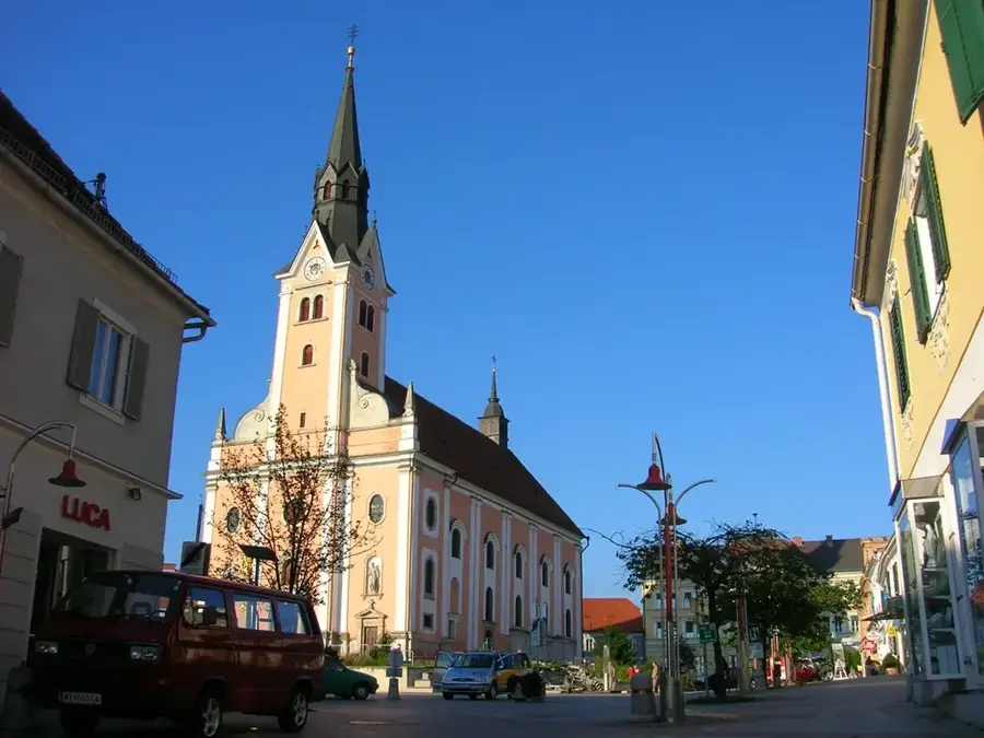
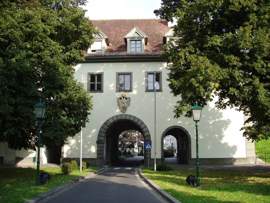
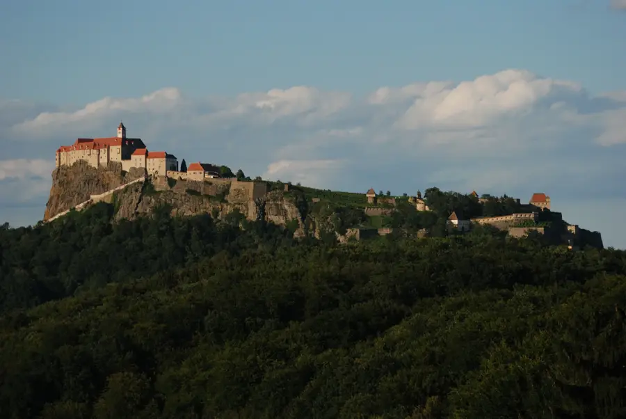
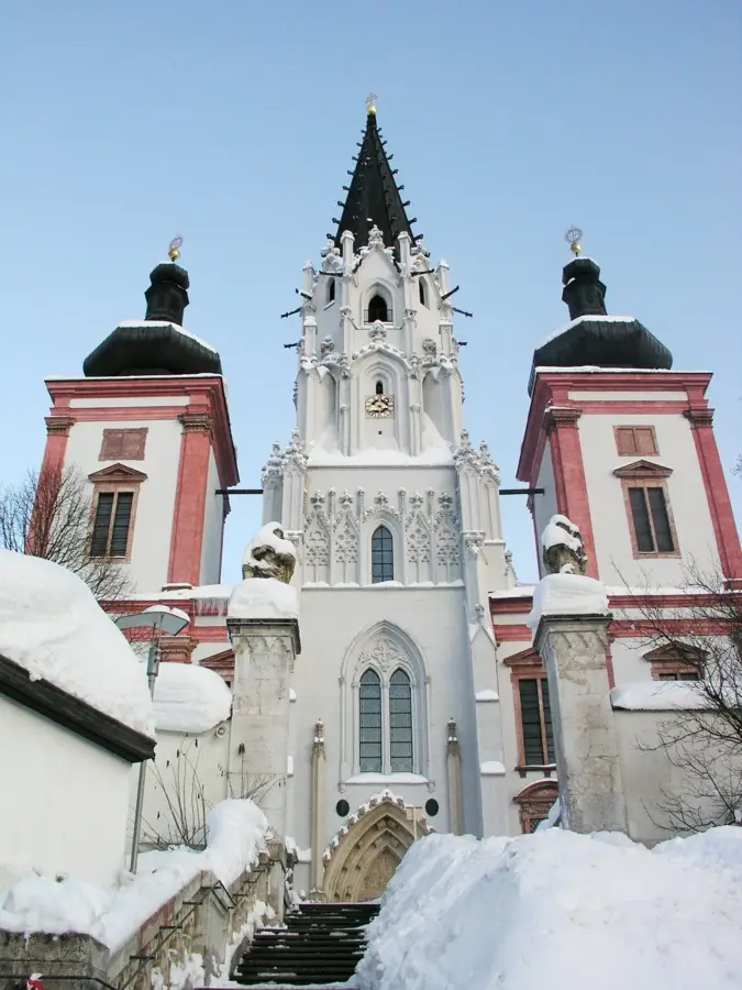
- Top sights: Museum HochQuellenWasser · Großer Geiger · Großer Torstein
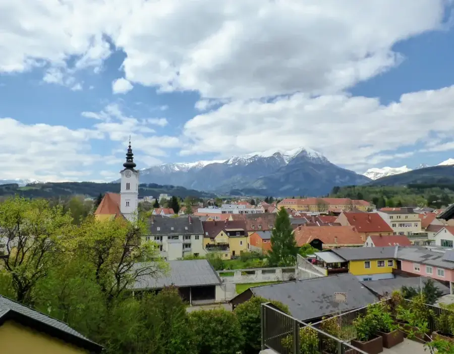
- Nearby: Lunz am See (24 km)
Best time to visit & climate
The most pleasant time to visit is Jun–Aug.
| Jan | Feb | Mar | Apr | May | Jun | Jul | Aug | Sep | Oct | Nov | Dec | |
|---|---|---|---|---|---|---|---|---|---|---|---|---|
| Avg °C | -4 | -3 | 1 | 6 | 10 | 14 | 16 | 16 | 11 | 7 | 2 | -3 |
| Rain mm | 58 | 53 | 61 | 60 | 118 | 142 | 149 | 152 | 113 | 79 | 62 | 56 |
📋 Practical info
Geography
Facts
- The total length of the Salza is approximately 88 kilometers.
- The river originates at Göller/Traisenberg in Lower Austria.
- The Salza has supplied the Second Vienna Mountain Spring Pipeline since 1910.
- The river confluence with the Enns is located at Großreifling.
- It is considered the longest unobstructed wild river in Central Europe.
- The water temperature rarely exceeds 12 degrees Celsius, even in summer.
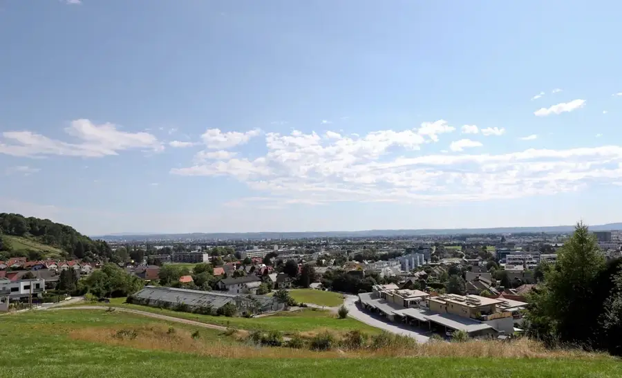
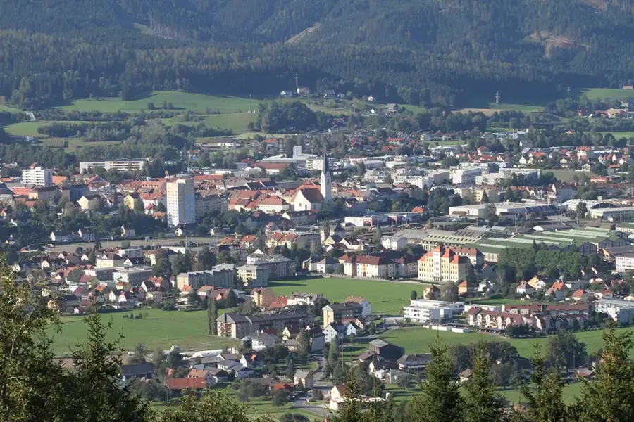
Explore nearby
Notable places around
Route planner — Car & Motorhome
Where do you start? We build the route here, with stops and country notes along the way.
© OpenStreetMap contributors · OpenRouteService
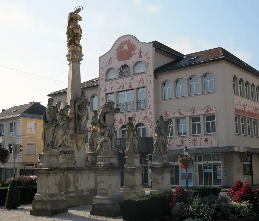
Sights in the town Salza River (5)
Sights nearby
Frequently asked questions
What is the Salza particularly famous for?
Where is the best place to enter the water?
Is the water of the Salza drinkable?
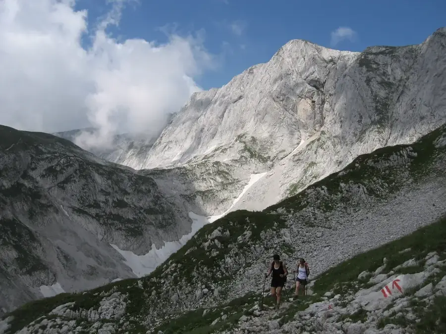
Are there hiking trails along the Salza?
When is the rafting season?
Salza River: where is it located?
Salza River: what is there to see?
Salza River: when is the best time to visit?
Salza River: why is it worth visiting?

Nearby cities
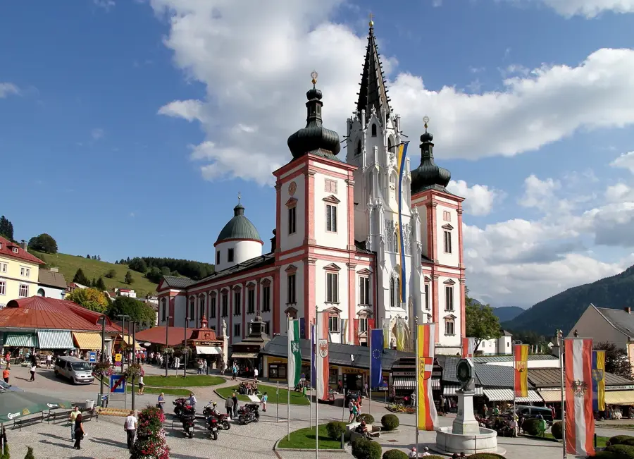
History & landmarks
Nature
More places