Plizio Visual Lab
Karmelspitze
Weather…
Water temperature…
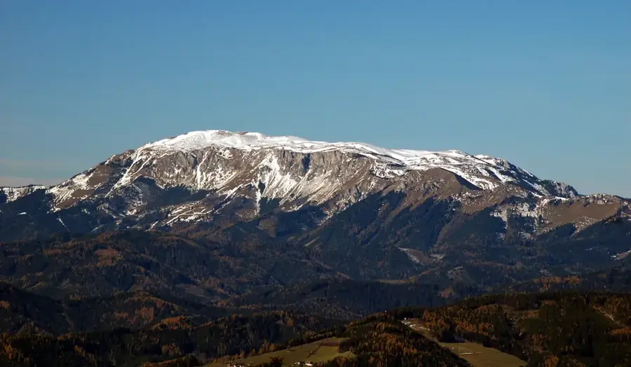
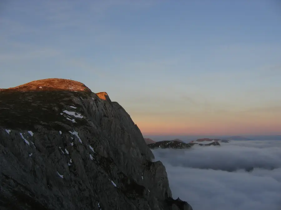
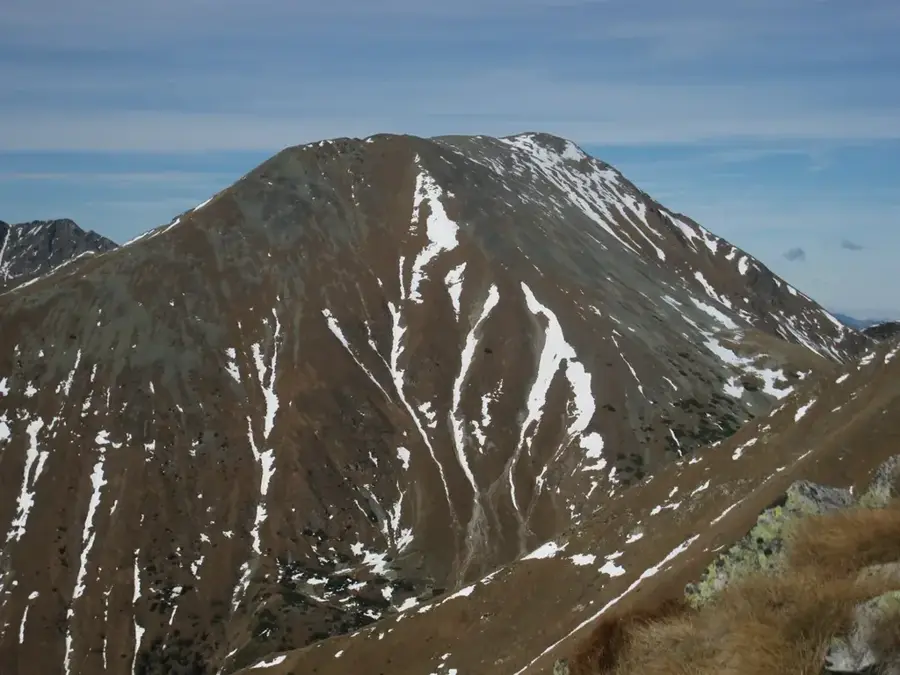
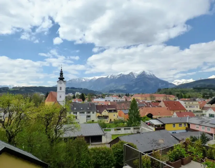
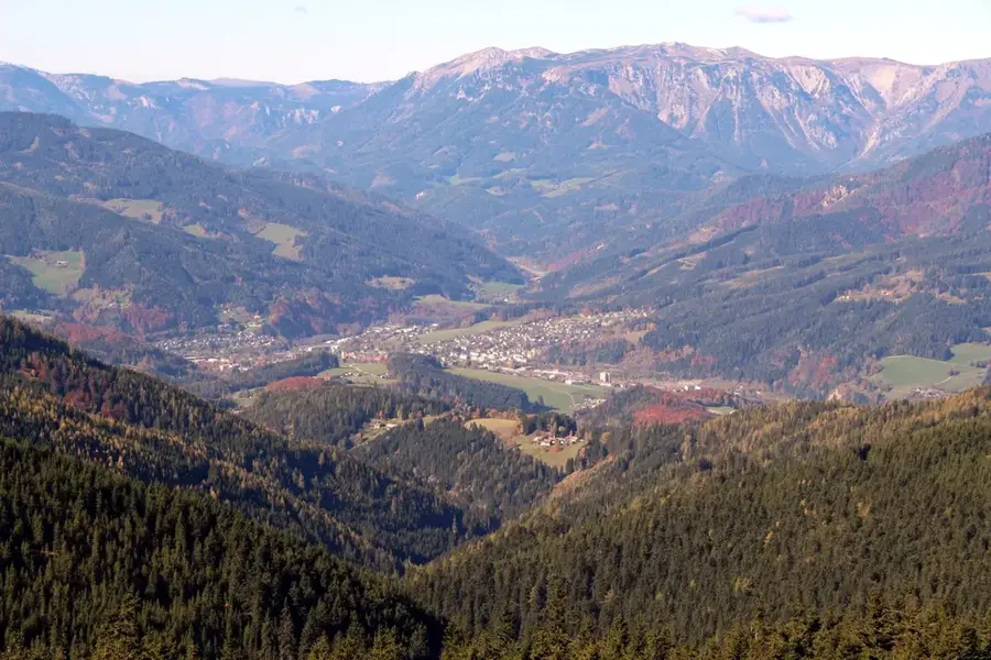
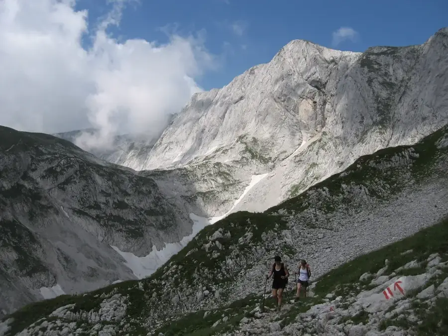
The Kammspitze, often mistakenly referred to as Karmelspitze, is a prominent mountain peak in the Enns Valley near Gröbming in the Austrian state of Styria. Reaching an elevation of 2,139 meters, it towers over the Enns Valley and creates a remarkable scenic contrast to the gentler peaks of the Lower Tauern to the south. Geologically, the Kammspitze belongs to the Northern Limestone Alps and consists predominantly of Wetterstein limestone, reflected in its steep, light-colored rock faces. The mountain is known for its challenging hiking routes, with the summit offering an extensive panoramic view from the Dachstein to the Totes Gebirge. Historically, the mountain was significant for the local population as a landmark and hunting ground. The flora is characterized by alpine cushion plants and rare orchid species at lower elevations. Despite its prominence, the Kammspitze is less crowded than neighboring peaks of the Schladming Tauern, preserving a quiet, high-alpine atmosphere.
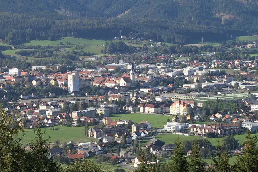
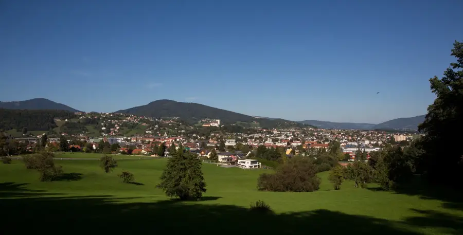
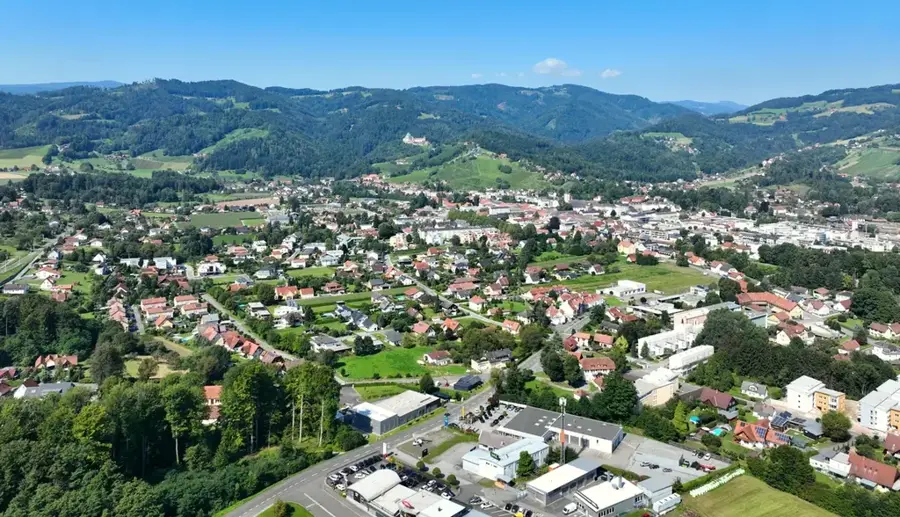
- Location: Styria, Austria
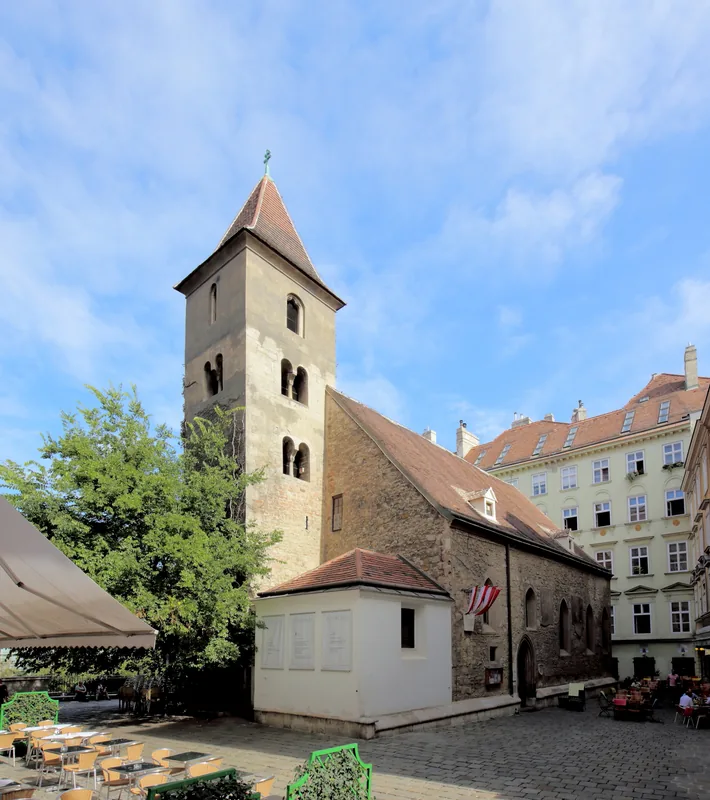
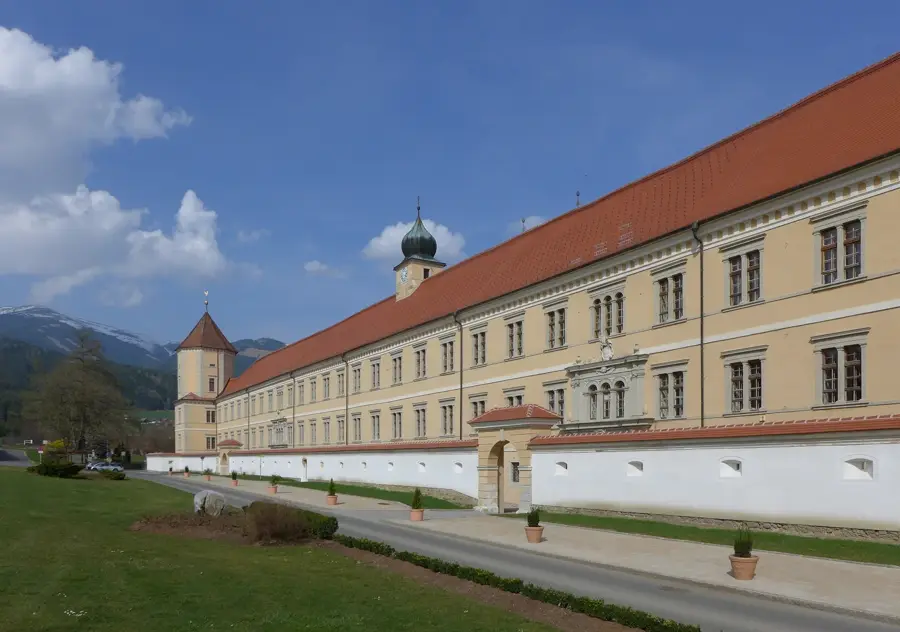
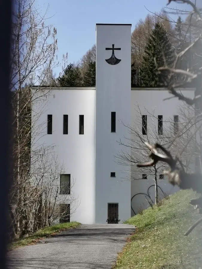
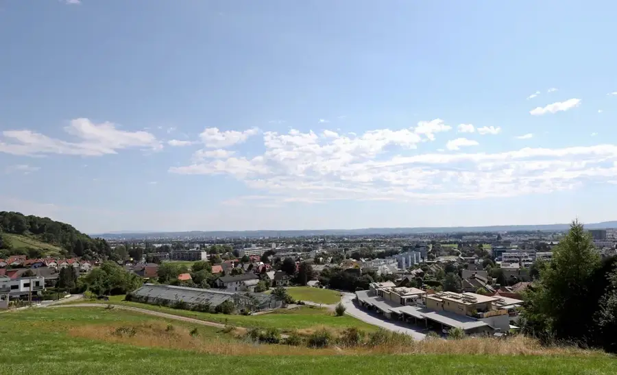
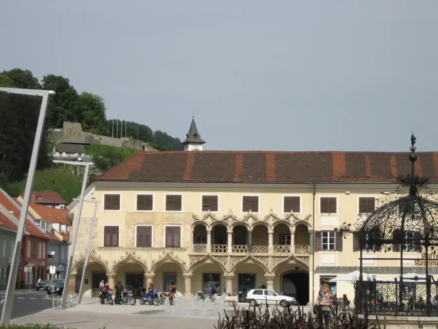
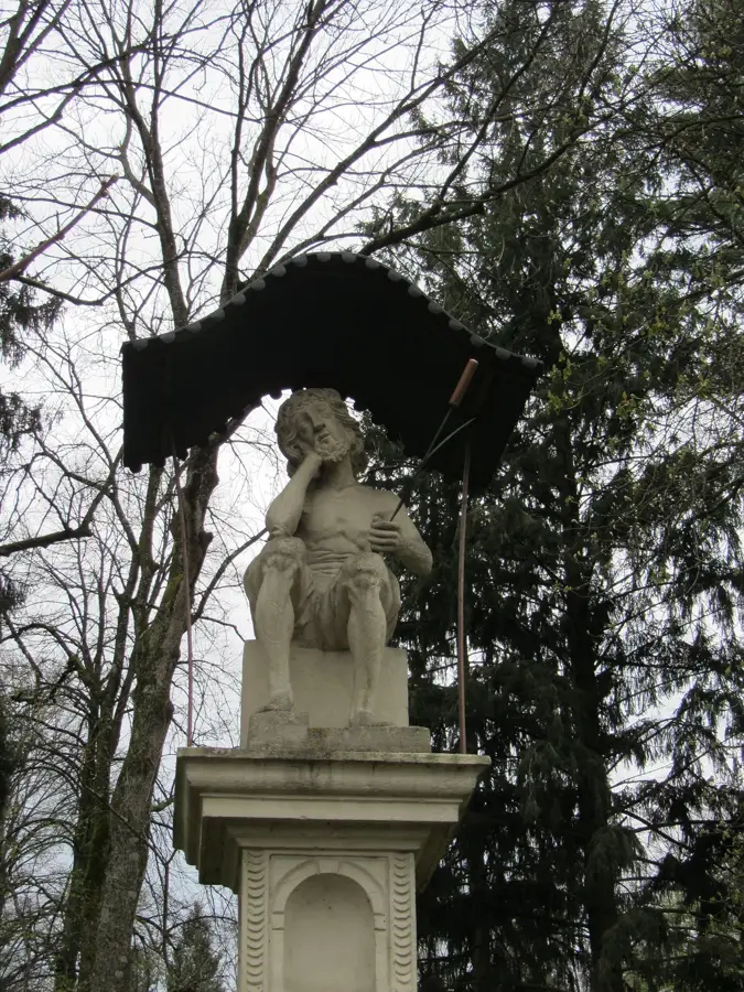
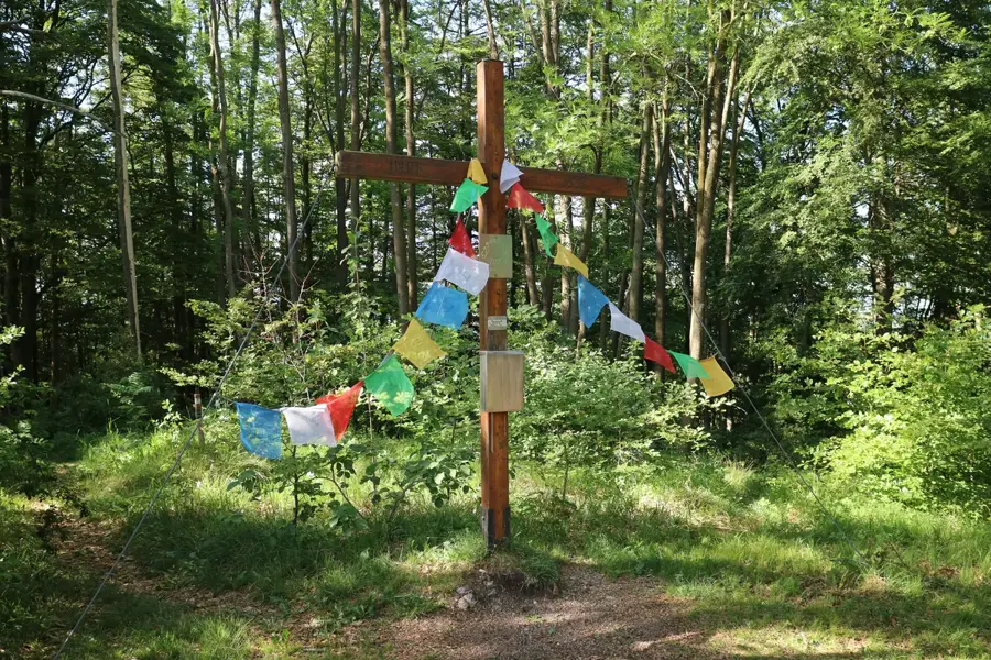
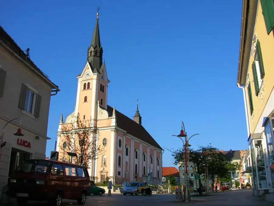
- Top sights: Heiligen Geist Kirche · Kalvarienberg · Naturschutzzentrum Bruck/Mur
- Nearby: Kapfenberg (5 km)
Best time to visit & climate
The most pleasant time to visit is Jun–Aug.
| Jan | Feb | Mar | Apr | May | Jun | Jul | Aug | Sep | Oct | Nov | Dec | |
|---|---|---|---|---|---|---|---|---|---|---|---|---|
| Avg °C | -3 | -2 | 2 | 7 | 11 | 16 | 17 | 17 | 12 | 8 | 3 | -2 |
| Rain mm | 51 | 49 | 56 | 55 | 107 | 125 | 127 | 129 | 102 | 71 | 60 | 52 |
📋 Practical info
Geography
Facts
- The Kammspitze is located at an altitude of 2,139 meters above sea level.
- Geologically, the mountain belongs to the Ennstal Alps.
- The ascent from Gröbming is considered particularly scenic.
- Wetterstein limestone forms the bright, prominent summit pyramid.
- From the summit, the striking southeast face of the Dachstein massif is visible.
- The region is known for its rich occurrence of alpine flowers.
Explore nearby
Notable places around
Route planner — Car & Motorhome
Where do you start? We build the route here, with stops and country notes along the way.
© OpenStreetMap contributors · OpenRouteService
Sights in the town Karmelspitze (10)
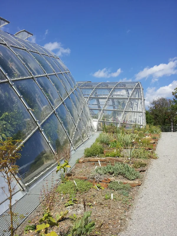
Naturschutzzentrum Bruck/Mur
Nature conservation center in Bruck an der Mur.
Aussichtsplattform
Observation platform with views over Bruck an der Mur.
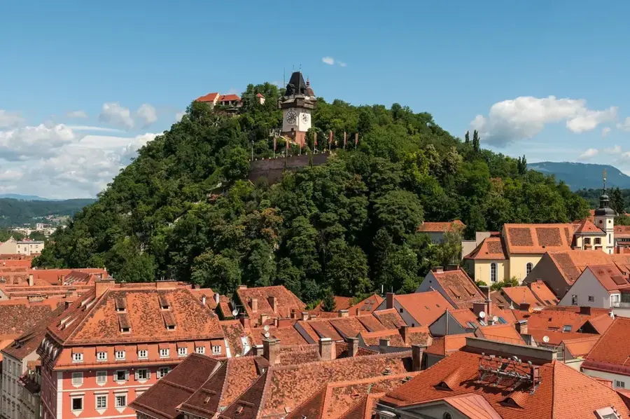
Uhrturm
Historic clock tower in Bruck an der Mur.
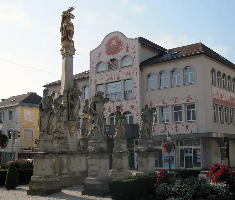
Mariensäule
Building in Bruck an der Mur, Austria.
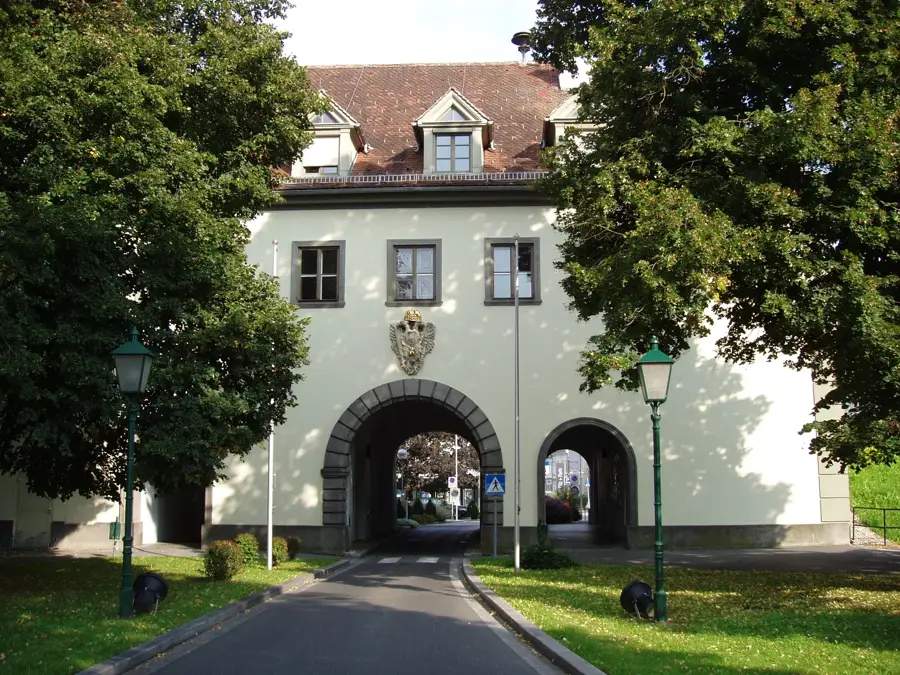
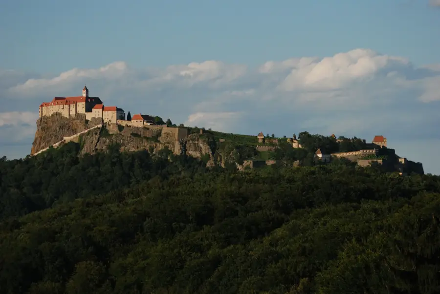
Burgruine Landskron🏰 castle
Building in Styria, Austria.
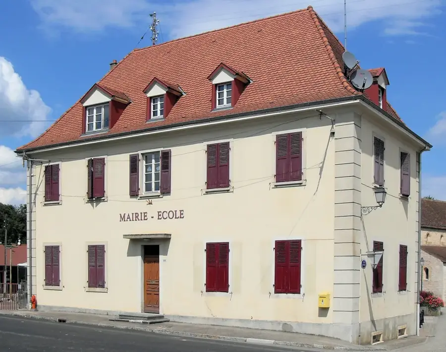
Altes Rathaus
Building in Bruck an der Mur, Austria.
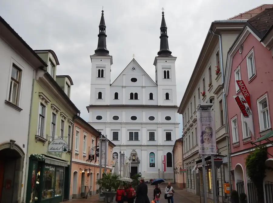
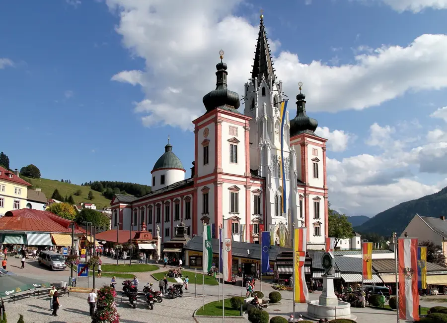
Stadtpfarrkirche Mariä Geburt
Parish church with cemetery in Styria, Austria.
Sights nearby
Frequently asked questions
What is the Karmelspitze?
How high is the mountain?
What is the difficulty of the hike?
Is there a view of lakes?
When should you do the tour?
Karmelspitze: where is it located?
Karmelspitze: what is there to see?
Karmelspitze: when is the best time to visit?
Karmelspitze: why is it worth visiting?

Nearby cities
History & landmarks
Nature
More places