Plizio Visual Lab
Feistritz River
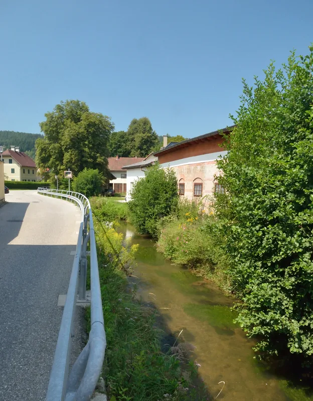
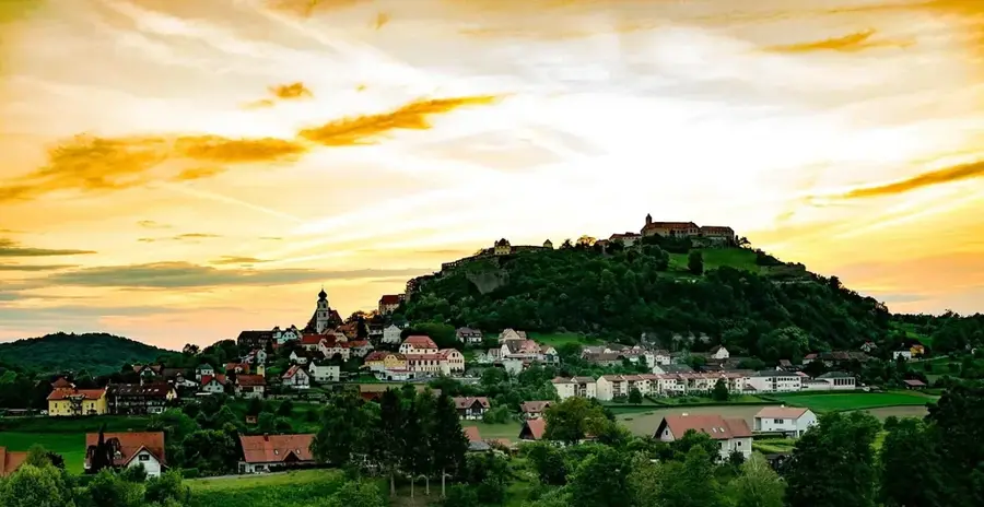
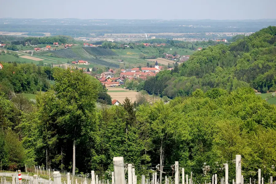
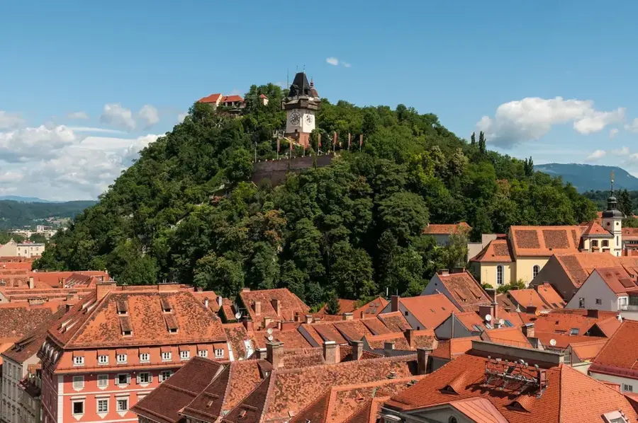
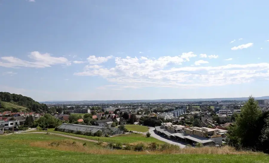
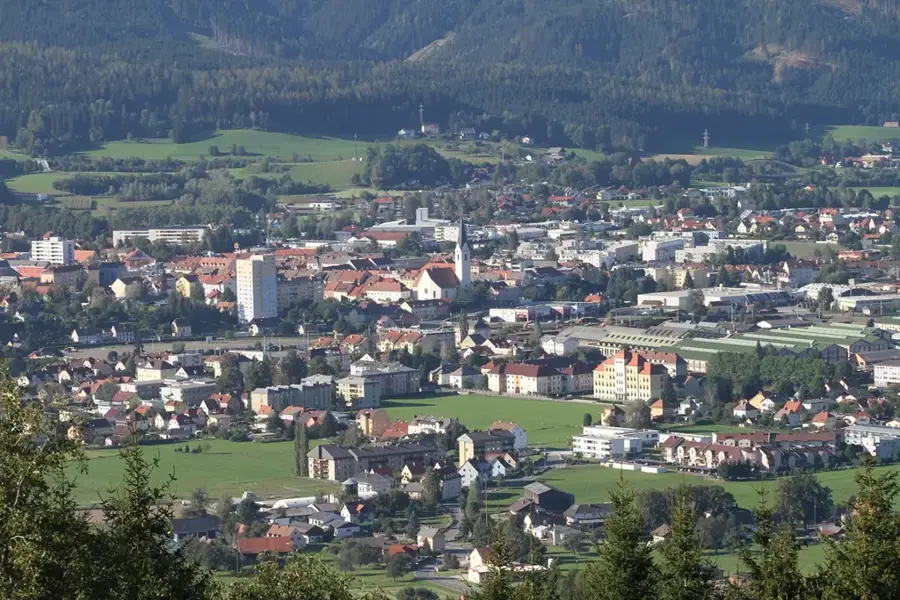
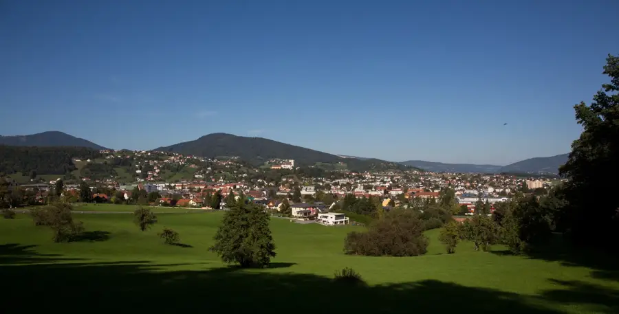
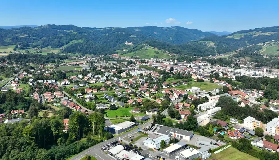
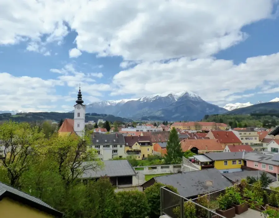
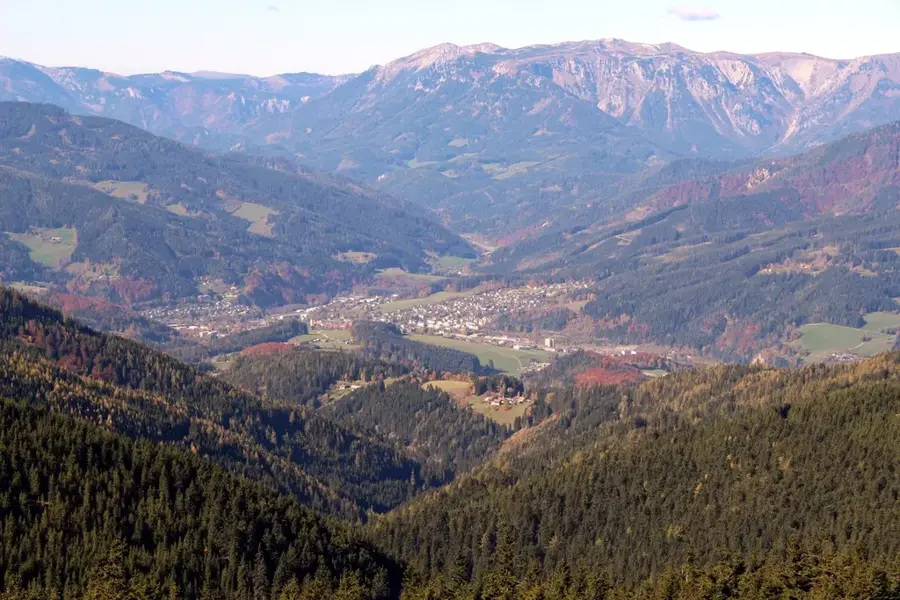
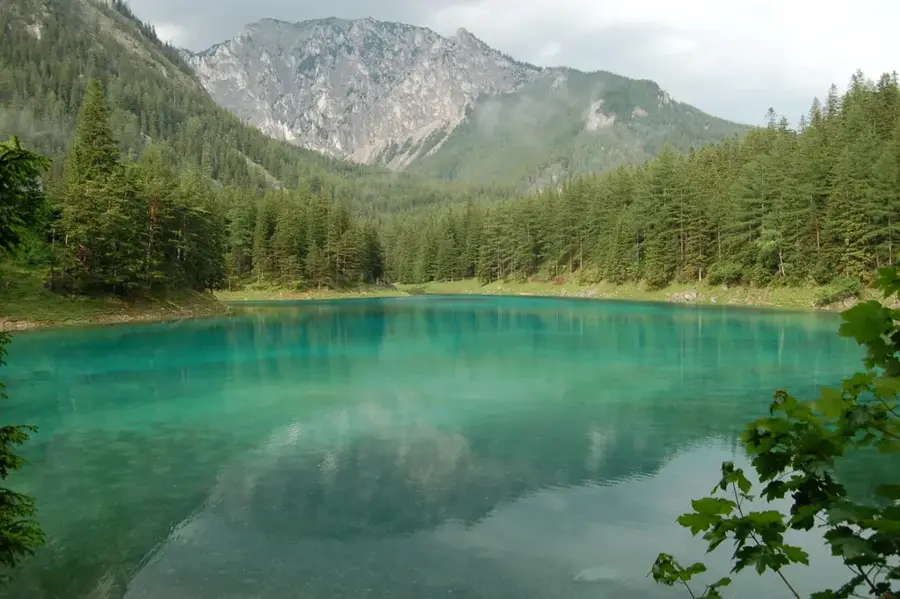
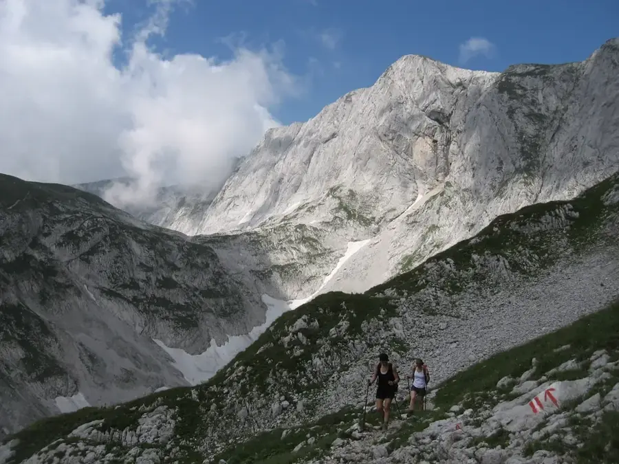
The Feistritz is a significant river in Styria, originating in the Wechsel mountains and flowing for approximately 115 kilometers before joining the Lafnitz. Its course passes through diverse landscapes, ranging from deep gorges like the Feistritzklamm to gentle rolling hills. Historically, the Feistritz played a crucial role in timber floating and powered numerous mills and ironworks along its banks. Today, the river's energy is harnessed by several small-scale hydroelectric power plants for sustainable electricity production. Ecologically, the Feistritz is a precious habitat for endangered species, including the Danube salmon and various types of dragonflies. The valley is also a popular tourist destination, particularly due to the Feistritztalbahn, a historic narrow-gauge railway that winds through scenic sections of the river landscape. The drainage basin of the Feistritz encompasses large parts of Eastern Styria and remains vital for the region's water management and ecology.
- Location: Styria, Austria
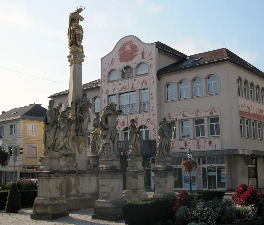
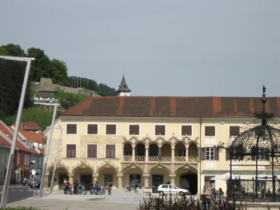
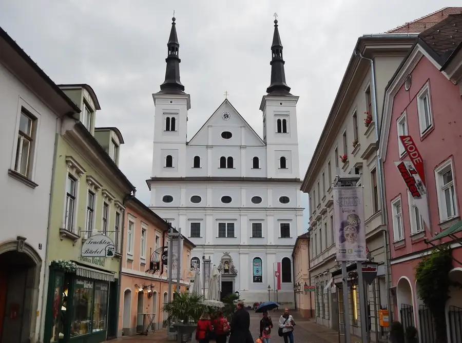
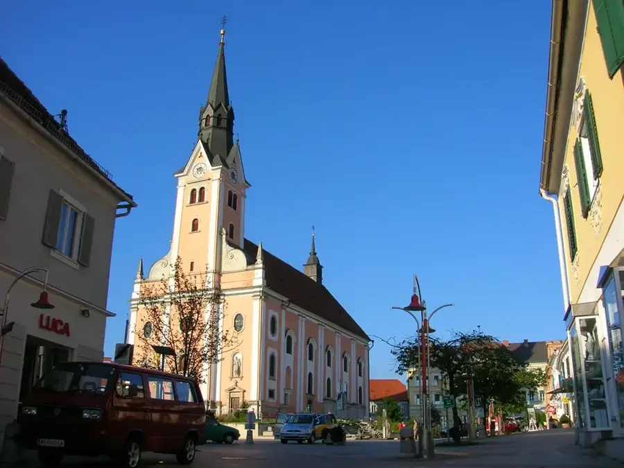
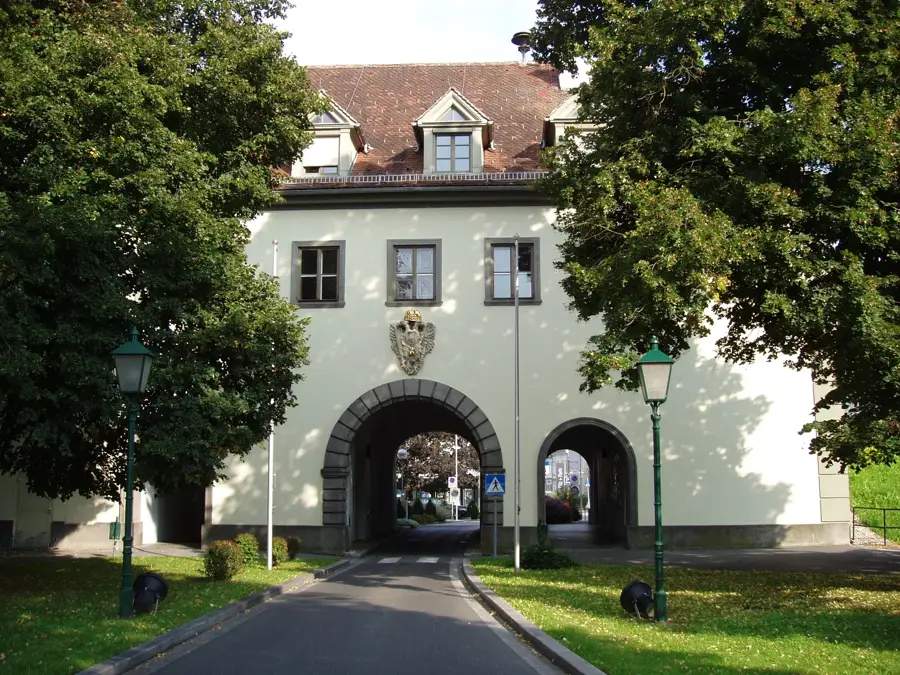
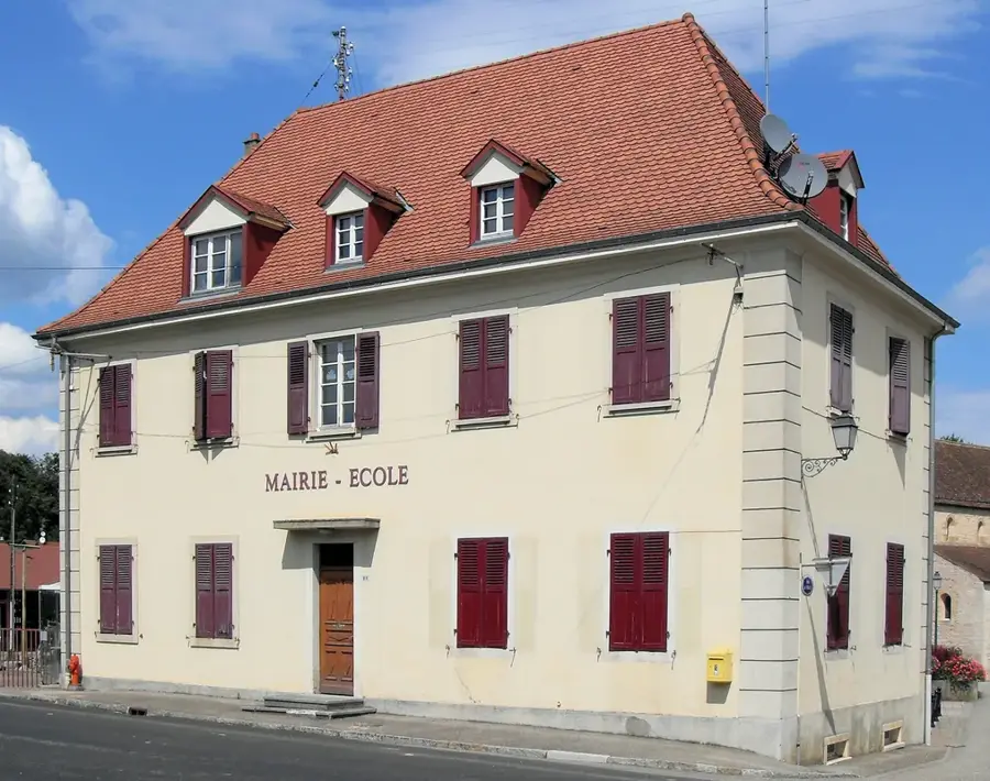
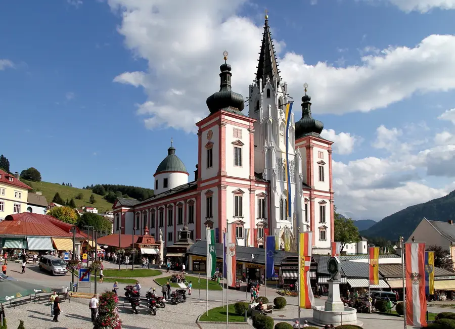
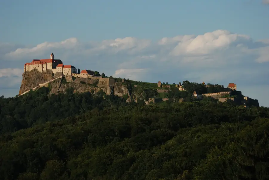
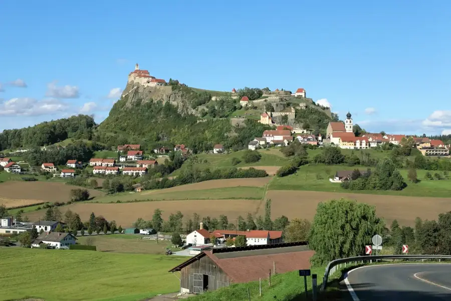
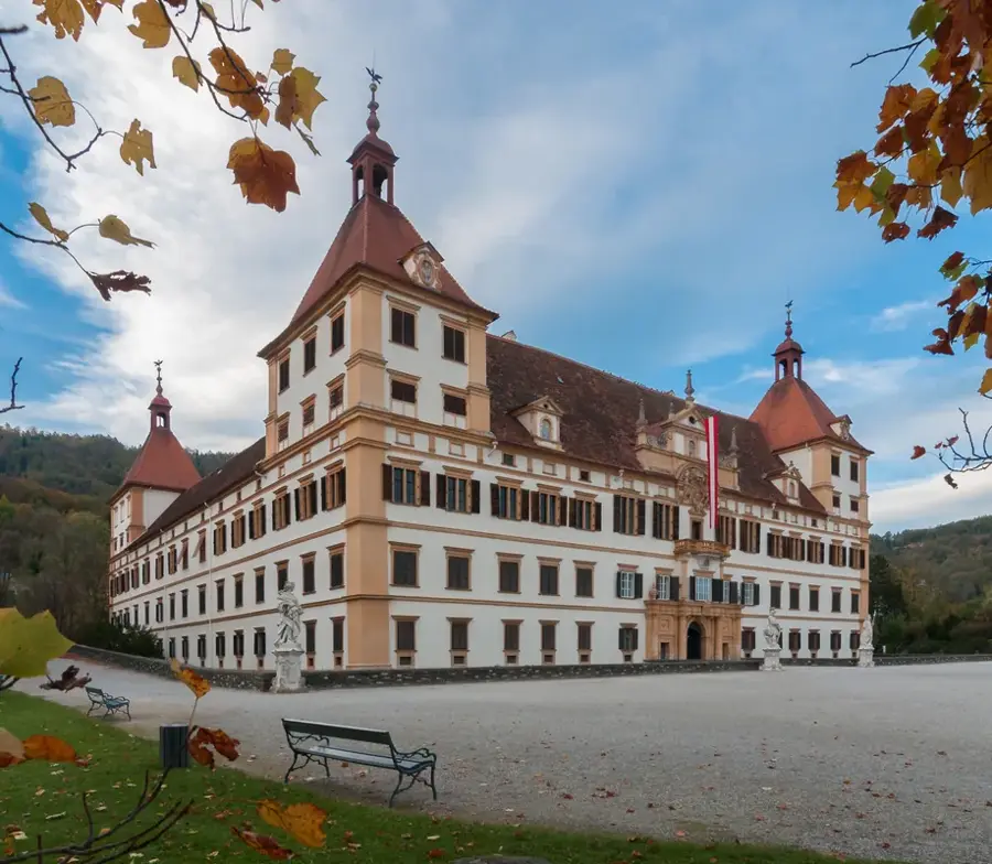
- Top sights: Wallfahrtskirche Klein-Mariazell · Kleiner Takernberg
- Nearby: Gleisdorf (9 km)
Best time to visit & climate
The most pleasant time to visit is Jun–Aug.
| Jan | Feb | Mar | Apr | May | Jun | Jul | Aug | Sep | Oct | Nov | Dec | |
|---|---|---|---|---|---|---|---|---|---|---|---|---|
| Avg °C | -1 | 1 | 5 | 11 | 15 | 20 | 22 | 22 | 16 | 11 | 5 | 0 |
| Rain mm | 35 | 42 | 43 | 46 | 81 | 91 | 87 | 87 | 86 | 59 | 55 | 44 |
📋 Practical info
Geography
Facts
- The total length of the river is approximately 115 kilometers.
- The Feistritz flows into the Lafnitz river near Fürstenfeld.
- The historic Feistritztalbahn narrow-gauge railway was opened in 1911.
- Several Natura 2000 protected areas are located along the riverbanks.
- The river passes through the Feistritzklamm, a designated natural monument.
- The catchment area of the river covers roughly 1,000 km².
Explore nearby
Notable places around
Route planner — Car & Motorhome
Where do you start? We build the route here, with stops and country notes along the way.
© OpenStreetMap contributors · OpenRouteService
Sights in the town Feistritz River (2)
Sights nearby
Frequently asked questions
Which region does the Feistritz flow through?
Are there cycling paths along the river?
Is the river suitable for canoeing?
Are there waterfalls on the Feistritz?
Can you fish in the river?
Feistritz River: where is it located?
Feistritz River: what is there to see?
Feistritz River: when is the best time to visit?
Feistritz River: why is it worth visiting?

Nearby cities
History & landmarks
Nature
More places