Plizio Visual Lab
Seckau Tauern
Weather…
Water temperature…
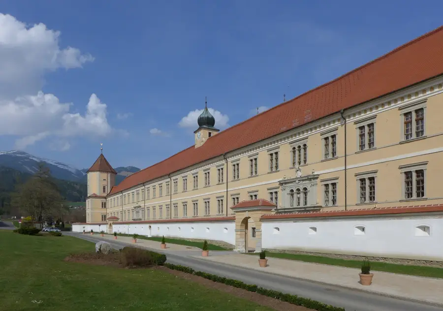
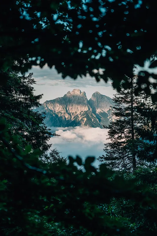
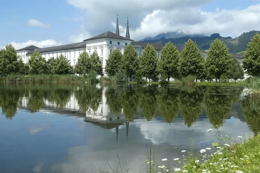
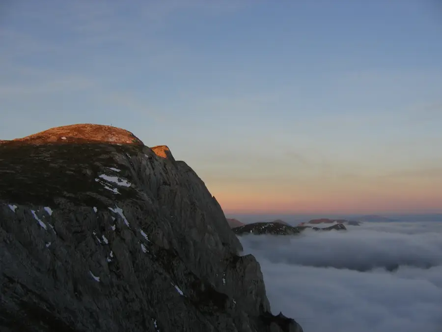
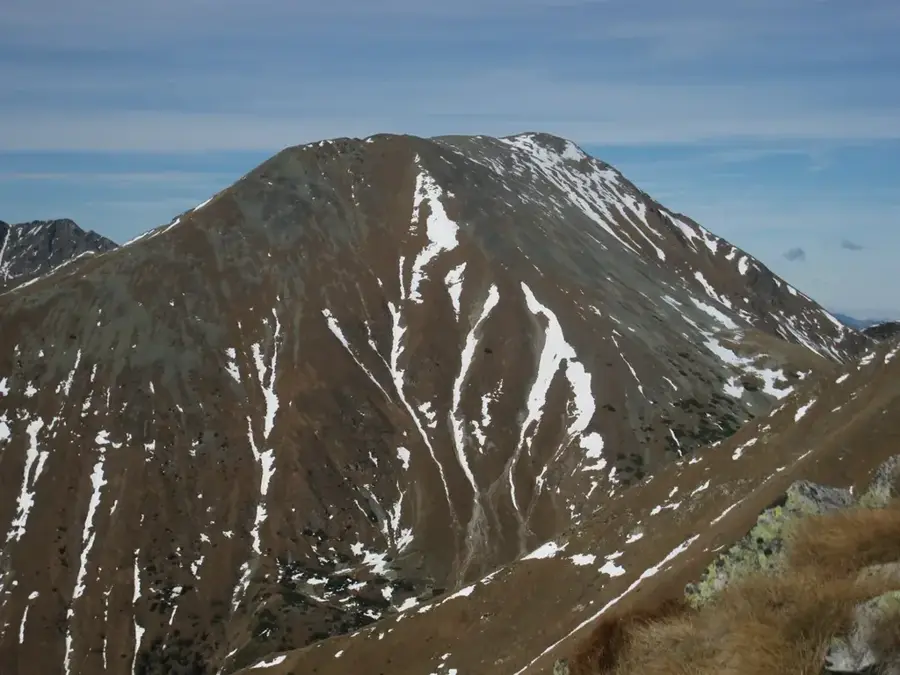
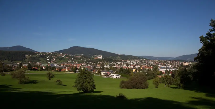
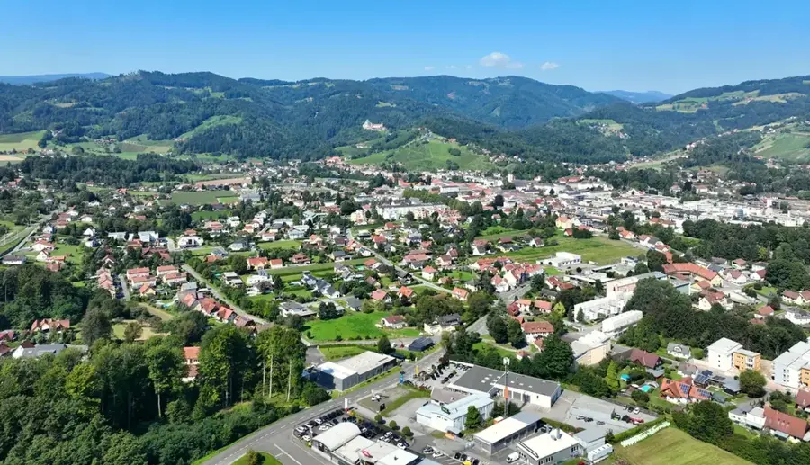
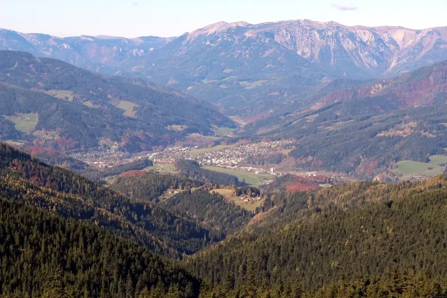
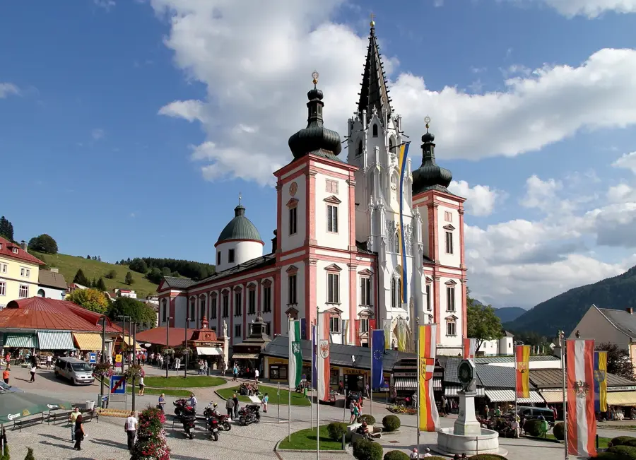
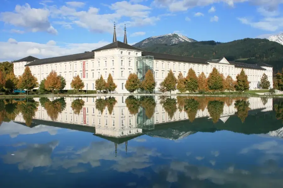
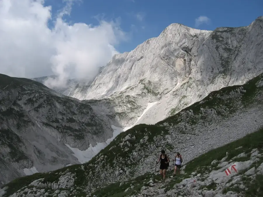
The Seckau Tauern form the easternmost part of the Lower Tauern in the Austrian state of Styria. This mountain massif is located north of the Mur Valley near Knittelfeld and south of the Liesing Valley. The highest peak of the group is the Geierhaupt at 2,417 meters, followed by the striking Hochreichhart. The group is named after the Seckau Benedictine Abbey, a cultural and spiritual center at the foot of the mountains founded as early as the 12th century. Geologically, the Seckau Tauern consist predominantly of crystalline basement rocks such as gneiss and granite, resulting in rugged ridges and deeply incised valleys. Compared to the western Tauern, the region is less developed for tourism, making it a lesser-known spot for mountaineers seeking solitude. The flora includes extensive stands of Swiss stone pine and alpine herbs, while the wildlife is characterized by large chamois populations. Historically, alpine farming played a dominant role, with many huts still operating during the summer months.
- Location: Styria, Austria
- Top sights: Feistererhorn · Maieranger Kogel · Seckauer Zinken
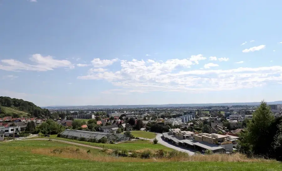
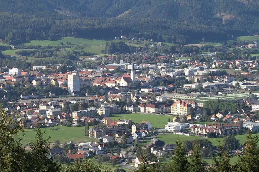
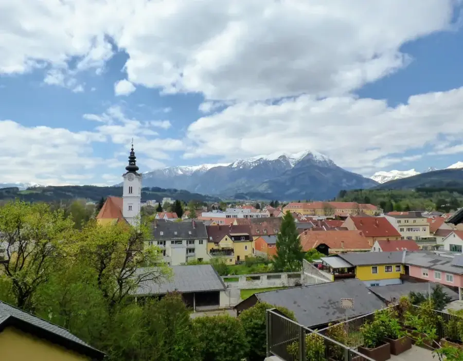
- Nearby: Knittelfeld (17 km)
Best time to visit & climate
The most pleasant time to visit is Jun–Aug.
| Jan | Feb | Mar | Apr | May | Jun | Jul | Aug | Sep | Oct | Nov | Dec | |
|---|---|---|---|---|---|---|---|---|---|---|---|---|
| Avg °C | -5 | -4 | 0 | 5 | 9 | 13 | 15 | 15 | 10 | 6 | 1 | -3 |
| Rain mm | 69 | 59 | 71 | 68 | 129 | 156 | 166 | 166 | 125 | 88 | 68 | 65 |
📋 Practical info
Geography
Facts
- The Geierhaupt is the highest mountain in the group at 2,417 meters.
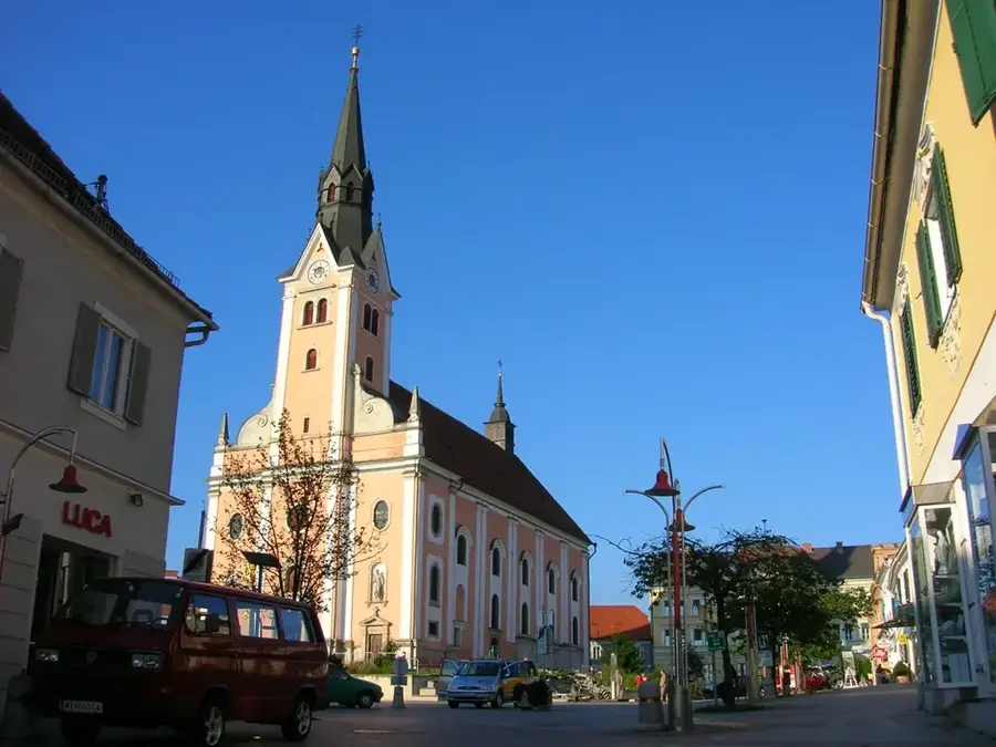
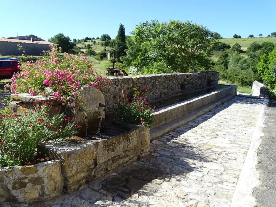
- The Seckau Benedictine Abbey at the foot of the mountains was founded in 1140.
- Geologically, the massif consists of gneiss and granite gneiss.
- Significant stands of Swiss stone pine are found in the region.
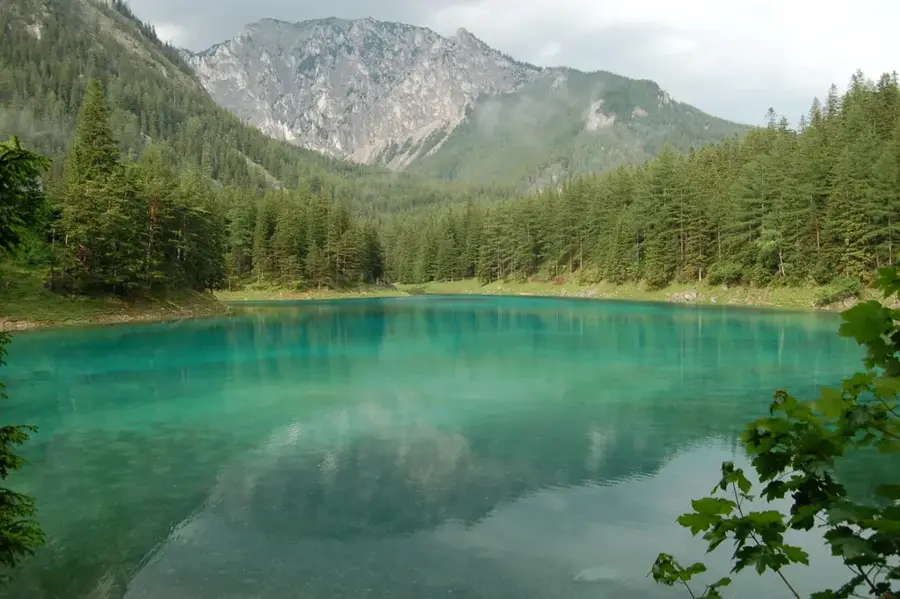
- Lake Ingering is a well-known mountain lake within the Seckau Tauern.
- The mountain range serves as a watershed between the Mur and Enns rivers.
Explore nearby
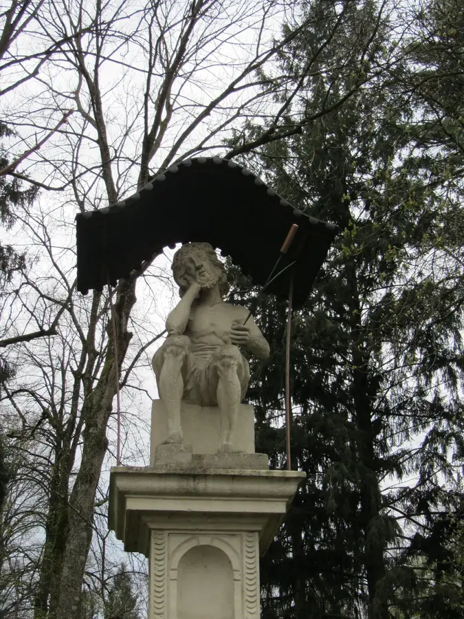
Notable places around
Route planner — Car & Motorhome
Where do you start? We build the route here, with stops and country notes along the way.
© OpenStreetMap contributors · OpenRouteService
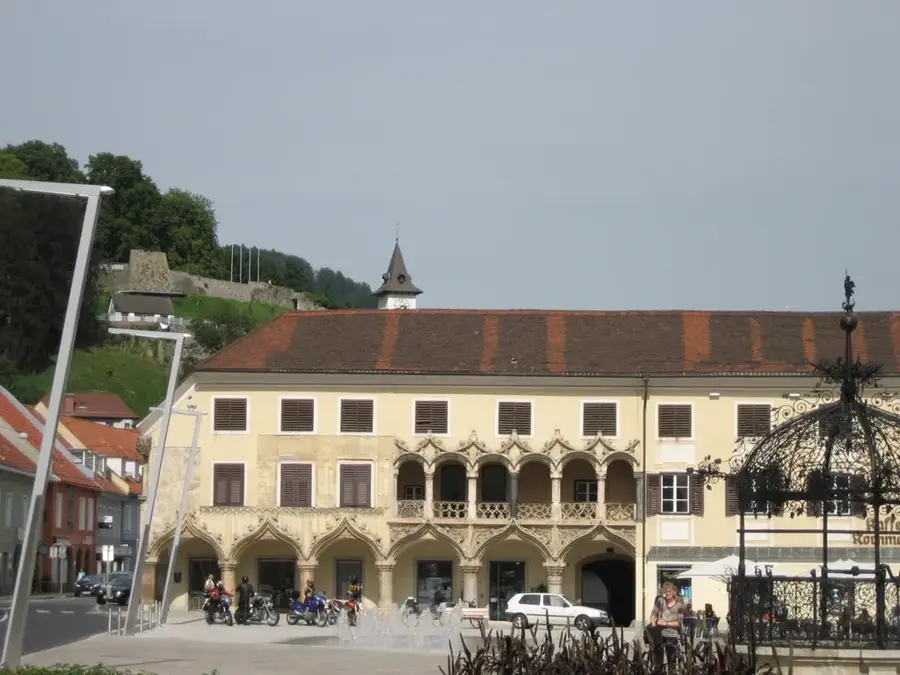
Sights in the town Seckau Tauern (4)
Sights nearby
Frequently asked questions
Where are the Seckauer Tauern located?
What is a cultural sight nearby?
Which peak is the most popular?
Are the trails difficult?
Can you see ibex there?
Seckau Tauern: where is it located?
Seckau Tauern: what is there to see?
Seckau Tauern: when is the best time to visit?
Seckau Tauern: why is it worth visiting?

Nearby cities
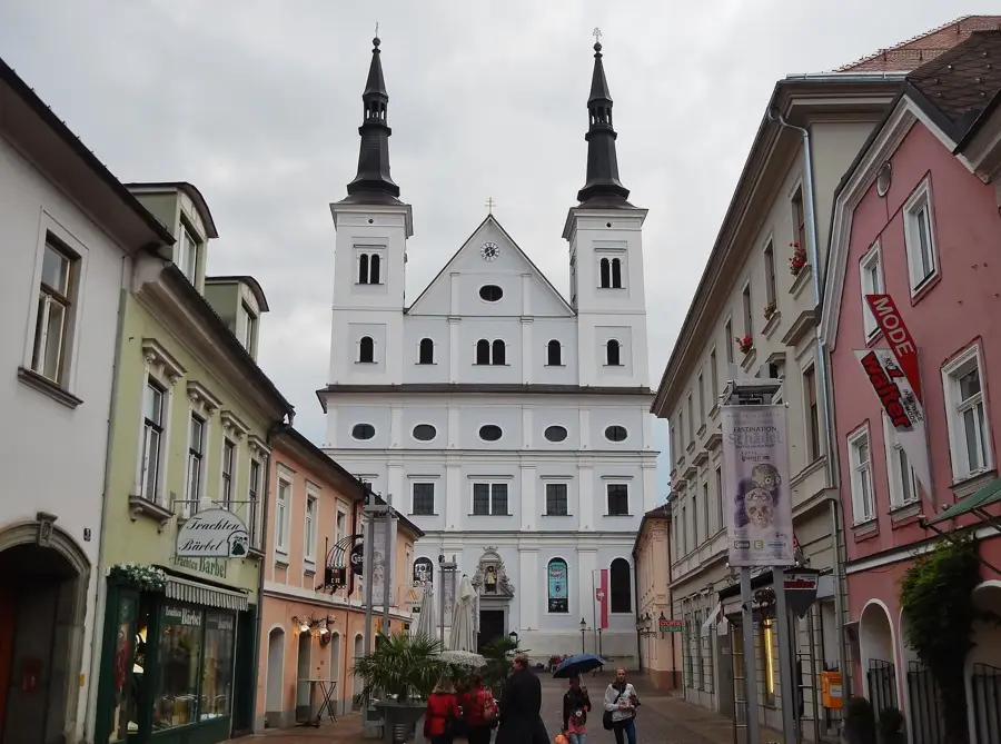
History & landmarks
Nature
More places