Plizio Visual Lab
Ennstal Alps
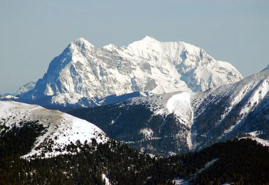
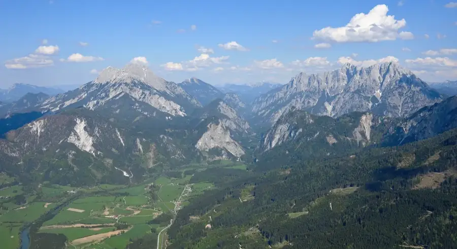
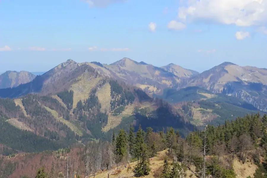
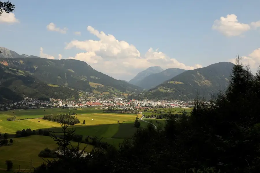
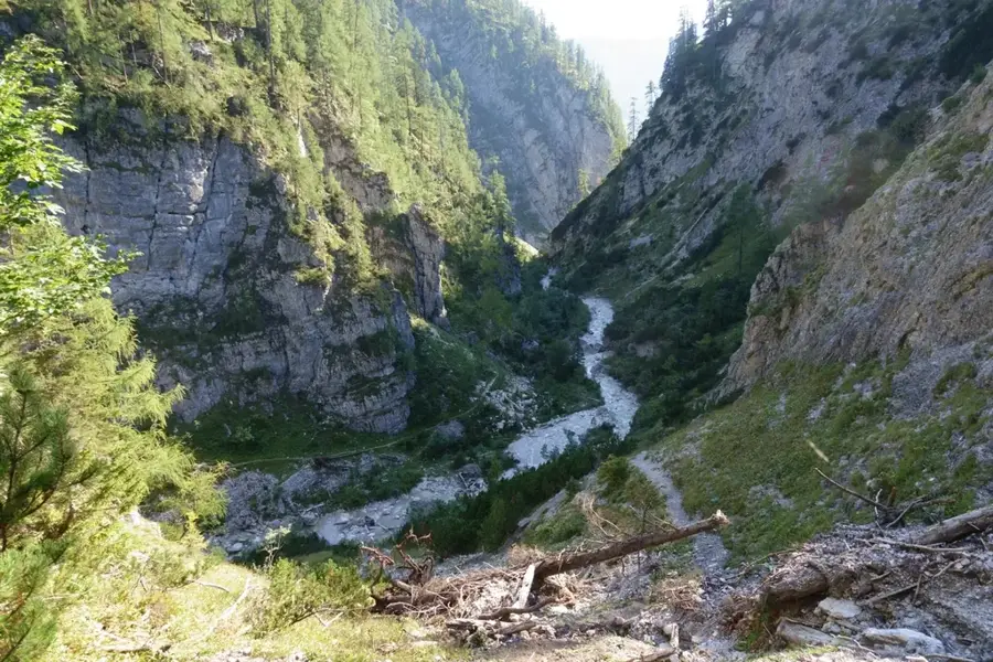
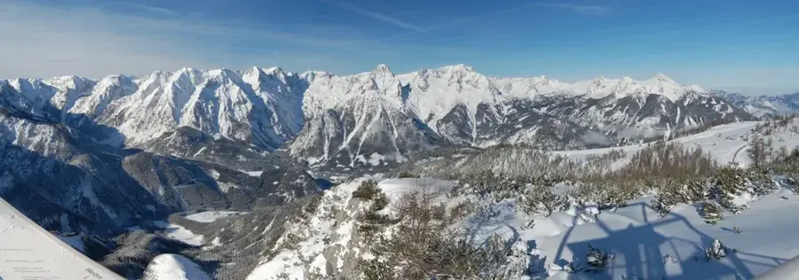
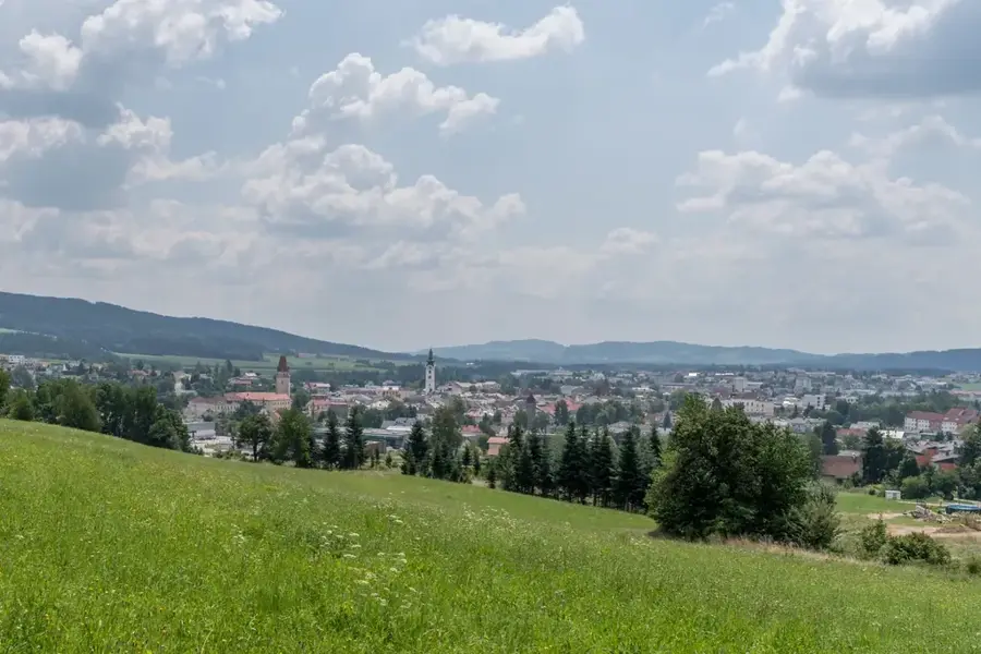
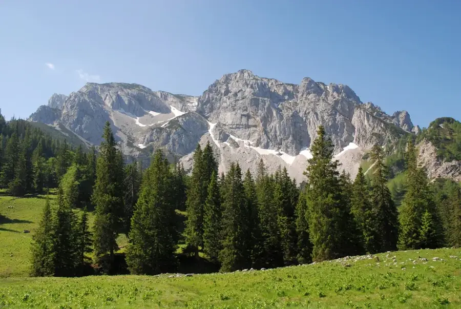
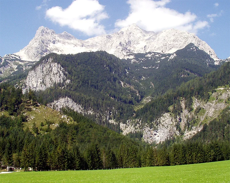
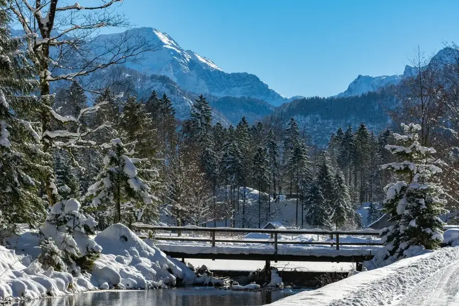
The Ennstal Alps in Styria and Upper Austria are characterized by their rugged limestone walls and the deeply cut Gesäuse gorge, through which the Enns River carves its path. The highest peak of the group is the Hochtor at 2369 meters, which attracts mountaineers with its demanding north faces. A large part of the mountains belongs to the Gesäuse National Park, which was established in 2002 and is known for its high biodiversity and wild watercourses. Geologically, the Ennstal Alps consist predominantly of Dachstein limestone, forming spectacular rock formations and deep canyons. The flora includes rare species such as the Ennstal lady's mantle, while griffon vultures and golden eagles are frequently spotted in the skies. Besides mountaineering, water sports on the Enns River play a significant role, with rafting and kayaking being very popular in the Gesäuse. The region has a long mining tradition, especially around the Erzberg, which borders directly to the south. For hikers, the area provides both comfortable hut-to-hut tours and extremely challenging via ferratas. Accessibility through the Enns Valley makes the region an easily reachable destination for nature enthusiasts from all over Central Europe.
- Location: Upper Austria, Austria
- Top sights: Großer Buchstein · Kleiner Ödstein · Augstein
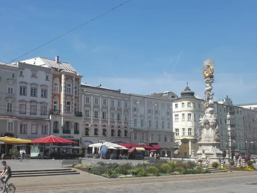
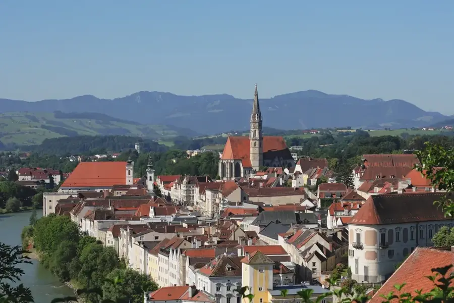
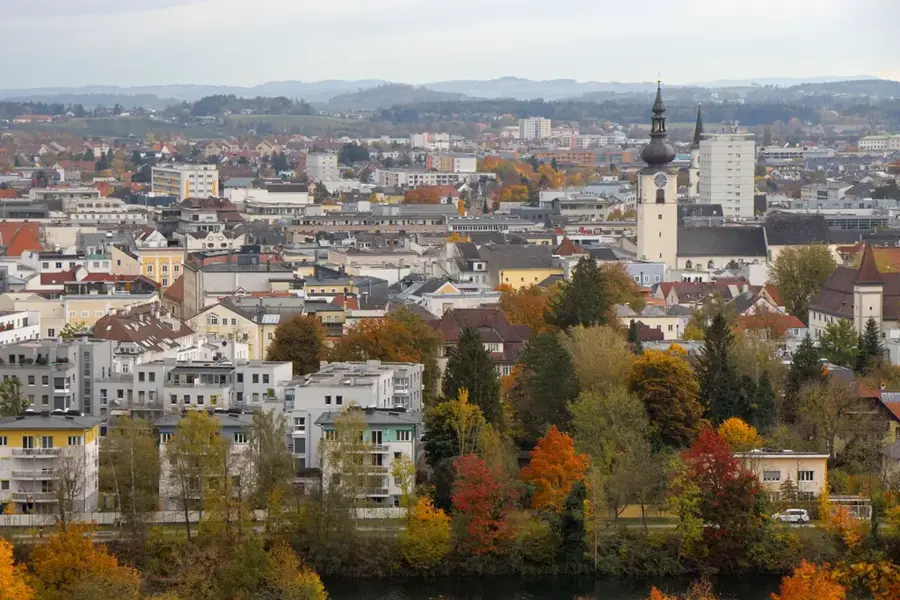
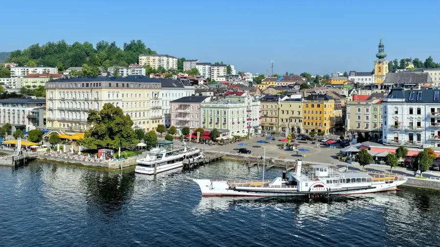
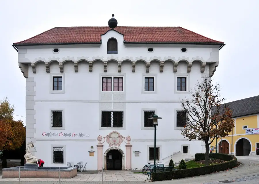
- Nearby: Liezen (26 km)
Best time to visit & climate
The most pleasant time to visit is Jun–Aug.
| Jan | Feb | Mar | Apr | May | Jun | Jul | Aug | Sep | Oct | Nov | Dec | |
|---|---|---|---|---|---|---|---|---|---|---|---|---|
| Avg °C | -5 | -4 | 0 | 5 | 9 | 13 | 15 | 15 | 10 | 6 | 1 | -3 |
| Rain mm | 69 | 59 | 71 | 68 | 129 | 156 | 166 | 166 | 125 | 88 | 68 | 65 |
📋 Practical info
Geography
Facts
- The Hochtor is the highest peak of the Ennstal Alps at 2369 meters.
- The Gesäuse National Park was officially opened in 2002.
- The Enns River overcomes a drop of over 150 meters within the Gesäuse.
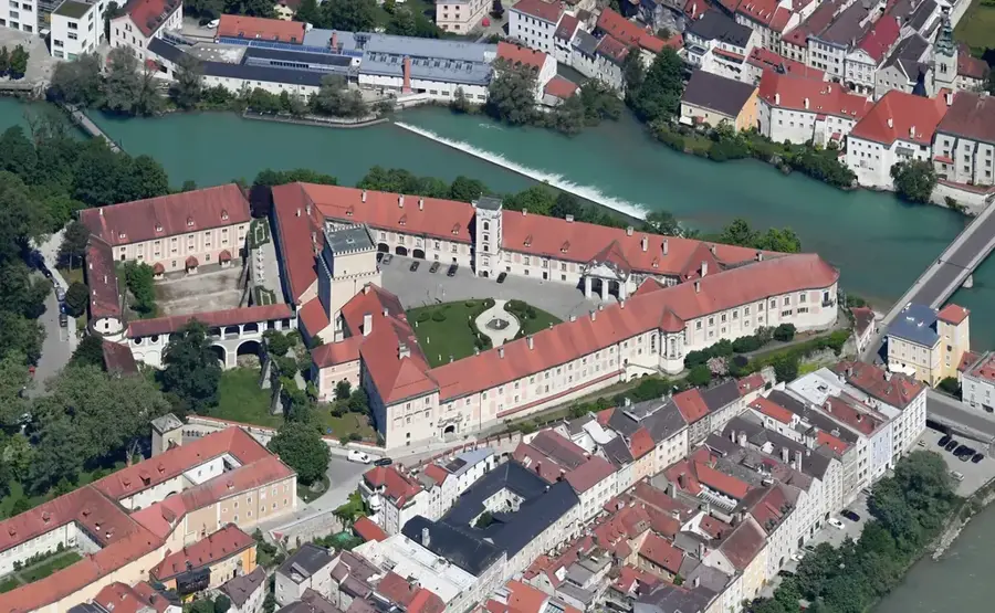
- Admont hosts the world's largest monastic library in the region.
- The Erzberg is the largest siderite deposit in the world.
- There are over 500 kilometers of marked hiking trails in the mountain group.
Explore nearby
Notable places around
Route planner — Car & Motorhome
Where do you start? We build the route here, with stops and country notes along the way.
© OpenStreetMap contributors · OpenRouteService
Sights in the town Ennstal Alps (3)
Sights nearby
Frequently asked questions
Which national park is located in the Ennstal Alps?
What is characteristic of the Gesäuse?
What is the name of the highest mountain in the group?
Is the region suitable for climbing?
Are there easy hiking trails?
Ennstal Alps: where is it located?
Ennstal Alps: what is there to see?
Ennstal Alps: when is the best time to visit?
Ennstal Alps: why is it worth visiting?

Nearby cities
Nature
More places