Plizio Visual Lab
Gesäuse National Park
Weather…
Water temperature…
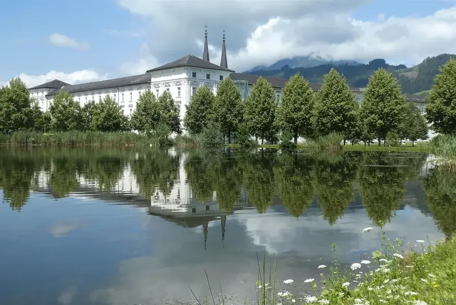
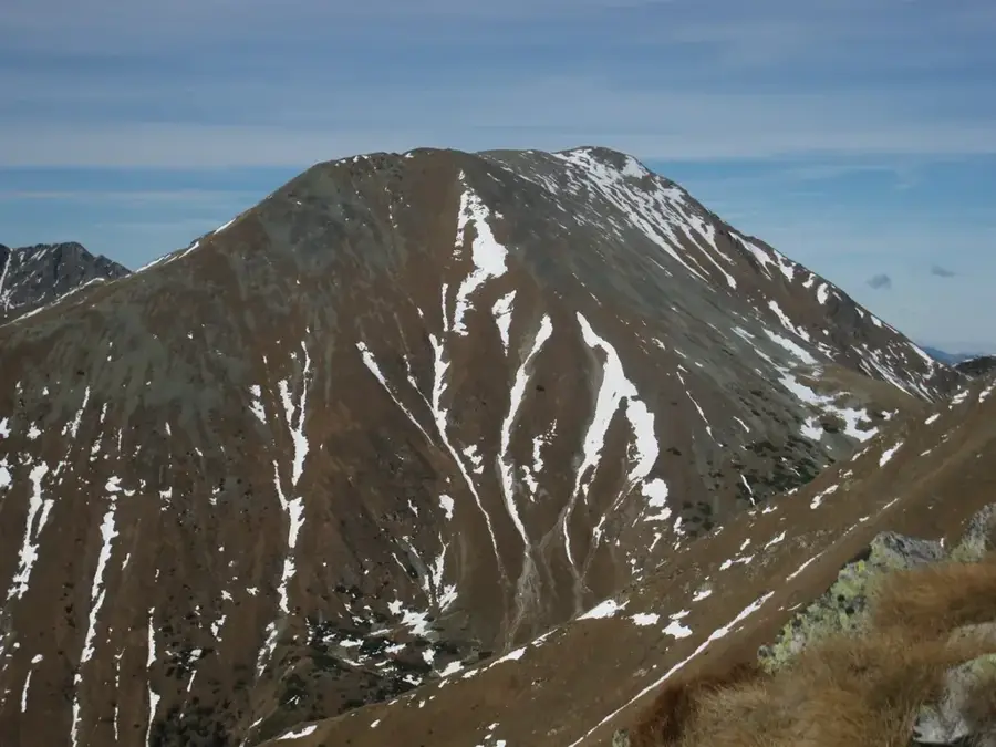
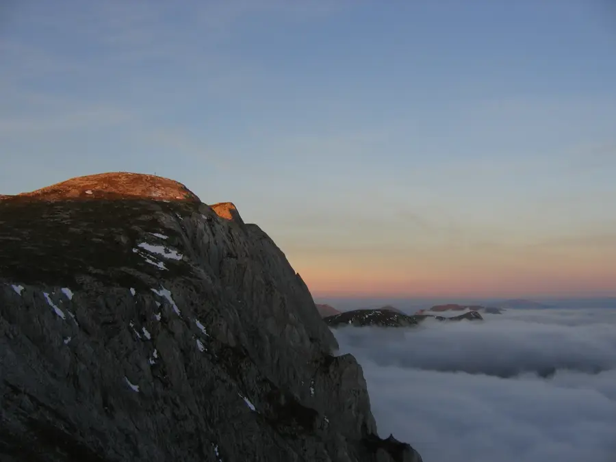
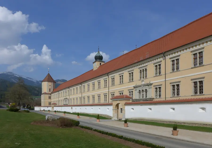
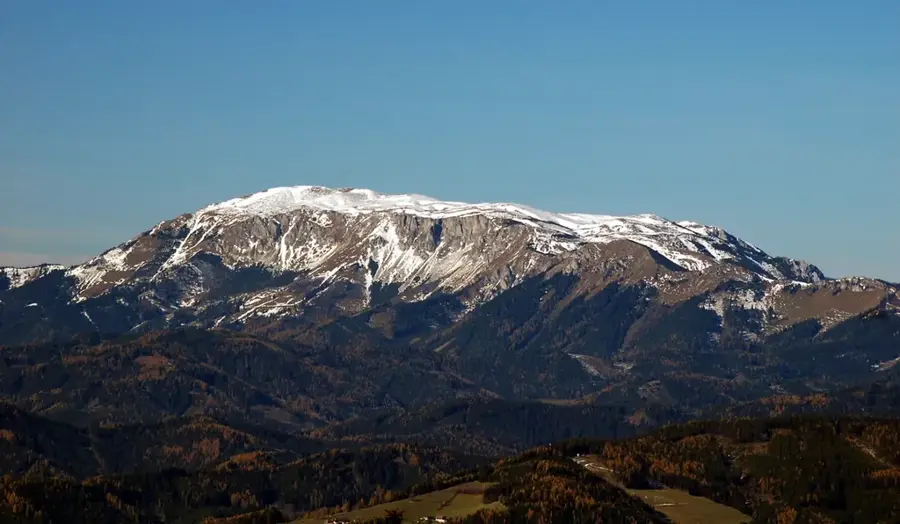
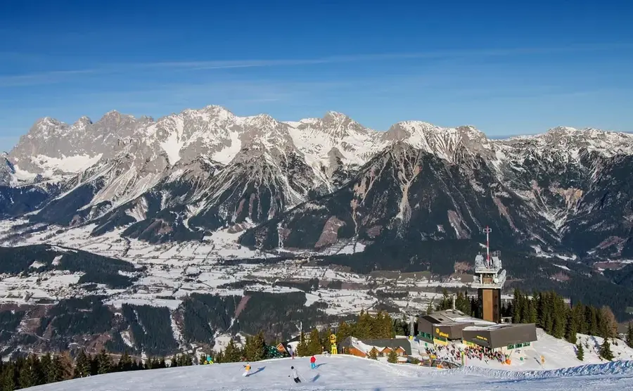
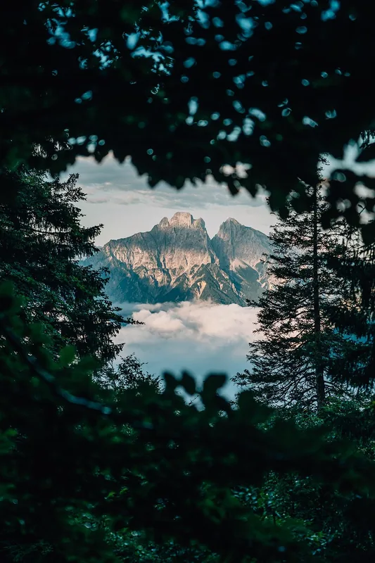
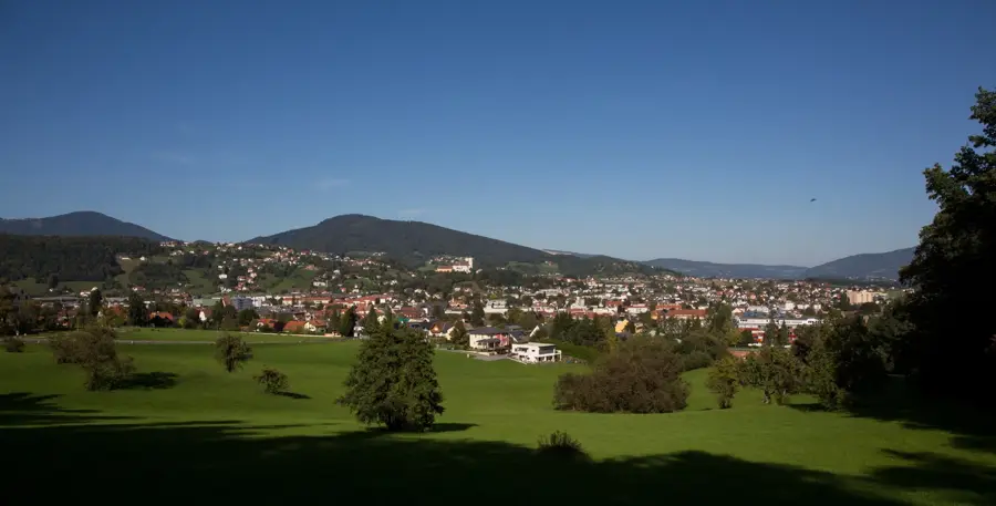
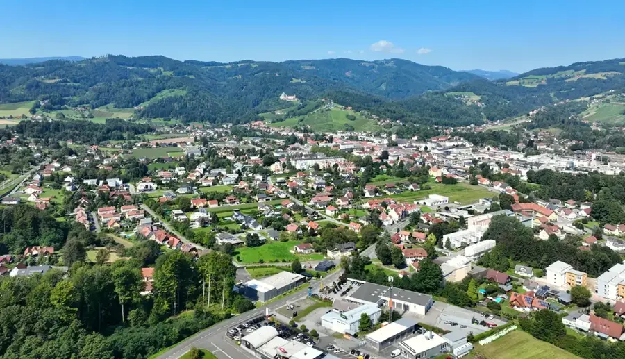
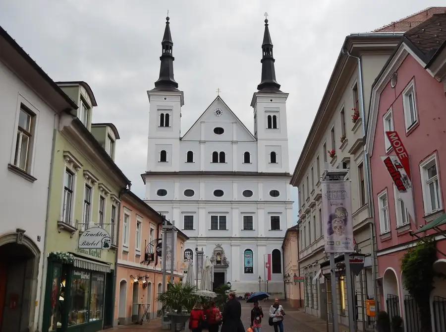
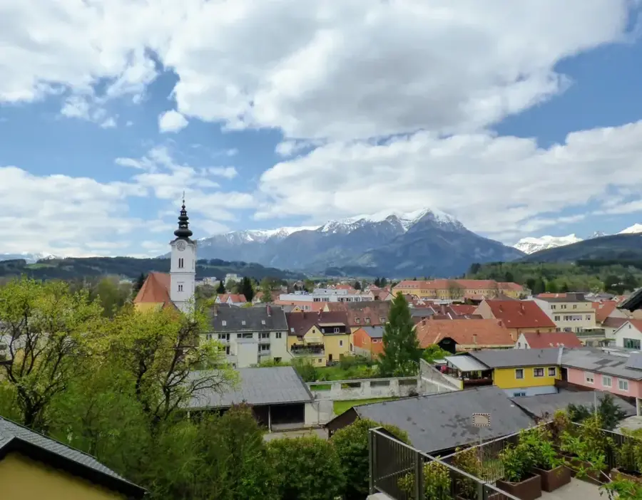
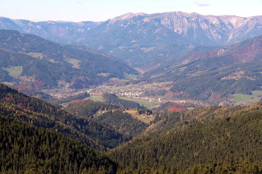
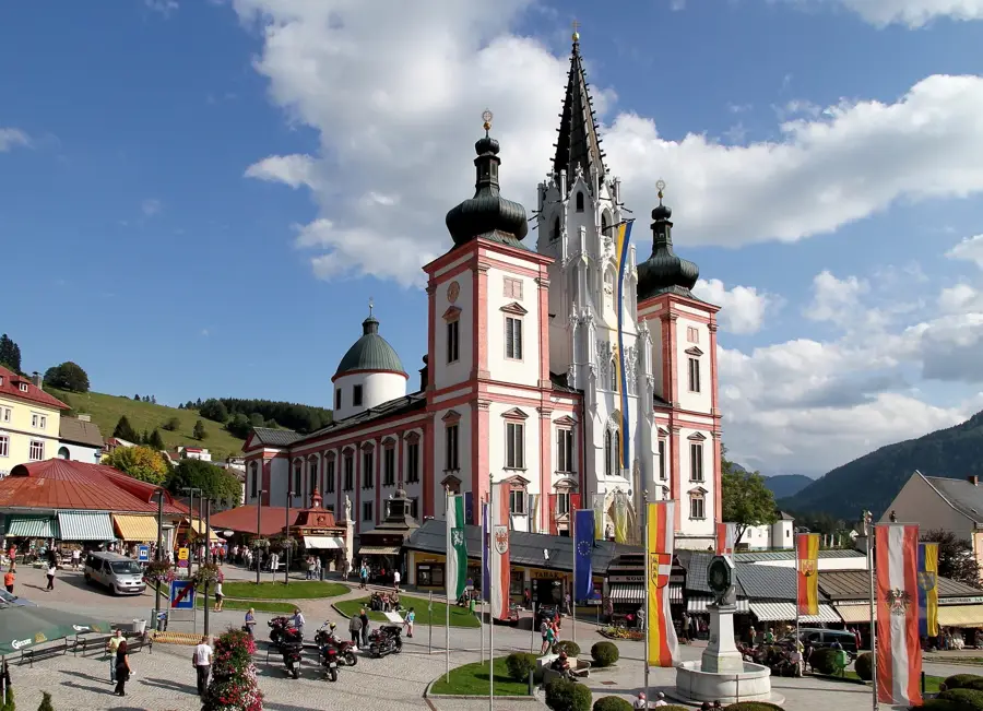
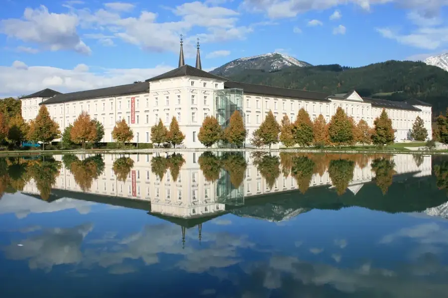
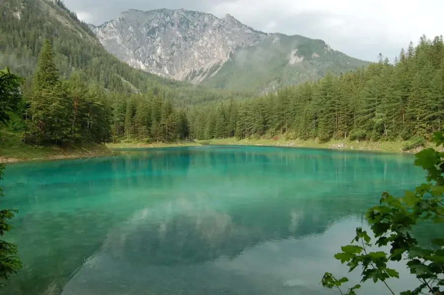
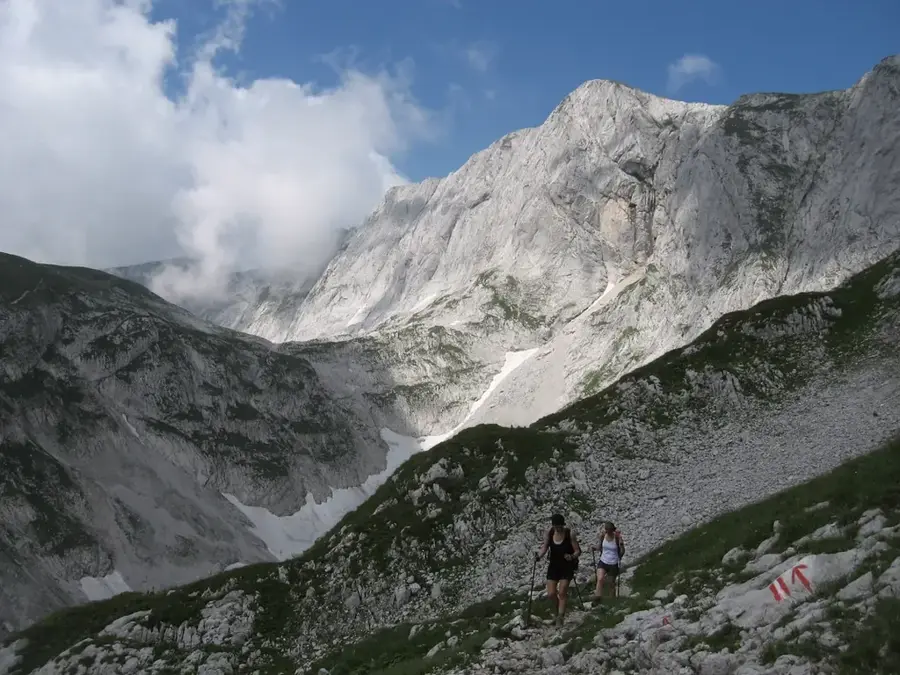
The Gesäuse National Park in Styria is defined by the powerful forces of water and rock, where the Enns River has carved a deep, roaring gorge through the limestone peaks of the Ennstal Alps. The name 'Gesäuse' refers to the rushing sound of the river as it navigates the narrow valley, a sound that has accompanied travelers through this passage for centuries. Historically, the region is considered the cradle of Austrian mountaineering, with the north faces of mountains like the Hochtor and Planspitze offering some of the most challenging and scenic climbing routes in the Eastern Alps. The park's ecology is exceptionally diverse due to the extreme elevation changes, hosting a wide range of endemic plants and providing nesting sites for golden eagles and peregrine falcons. Cultural life in the Gesäuse is anchored by the Admont Abbey at its western edge, home to the world's largest monastic library and a symbol of the long-standing monastic stewardship of the surrounding lands. Visitors to the park can explore the 'Willow Dome,' a living structure used for environmental education, or embark on thematic trails that explain the geological formation of the Alps and the vital role of mountain forests in preventing erosion and protecting local communities.
- Location: Styria, Austria
- Top sights: Nationalparkpavilion · Gstatterstein · Comicfelsen
- Nearby: Liezen (31 km)
Best time to visit & climate
The most pleasant time to visit is Jun–Aug.
| Jan | Feb | Mar | Apr | May | Jun | Jul | Aug | Sep | Oct | Nov | Dec | |
|---|---|---|---|---|---|---|---|---|---|---|---|---|
| Avg °C | -5 | -4 | 0 | 5 | 9 | 13 | 15 | 15 | 10 | 6 | 1 | -3 |
| Rain mm | 69 | 59 | 71 | 68 | 129 | 156 | 166 | 166 | 125 | 88 | 68 | 65 |
📋 Practical info
Geography
Facts
- Established in 2002
- Area of approximately 110 sq km
- Highest mountain is Hochtor at 2,369 m
- About 50% of the park is a designated wilderness zone
- Contains over 90 endemic plant species
- The Enns River flows for 31 km through the park
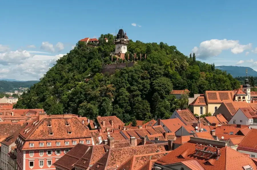
Explore nearby
Notable places around
Route planner — Car & Motorhome
Where do you start? We build the route here, with stops and country notes along the way.
© OpenStreetMap contributors · OpenRouteService
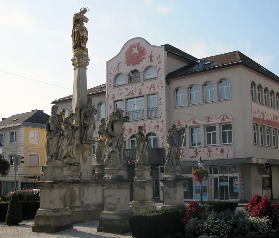
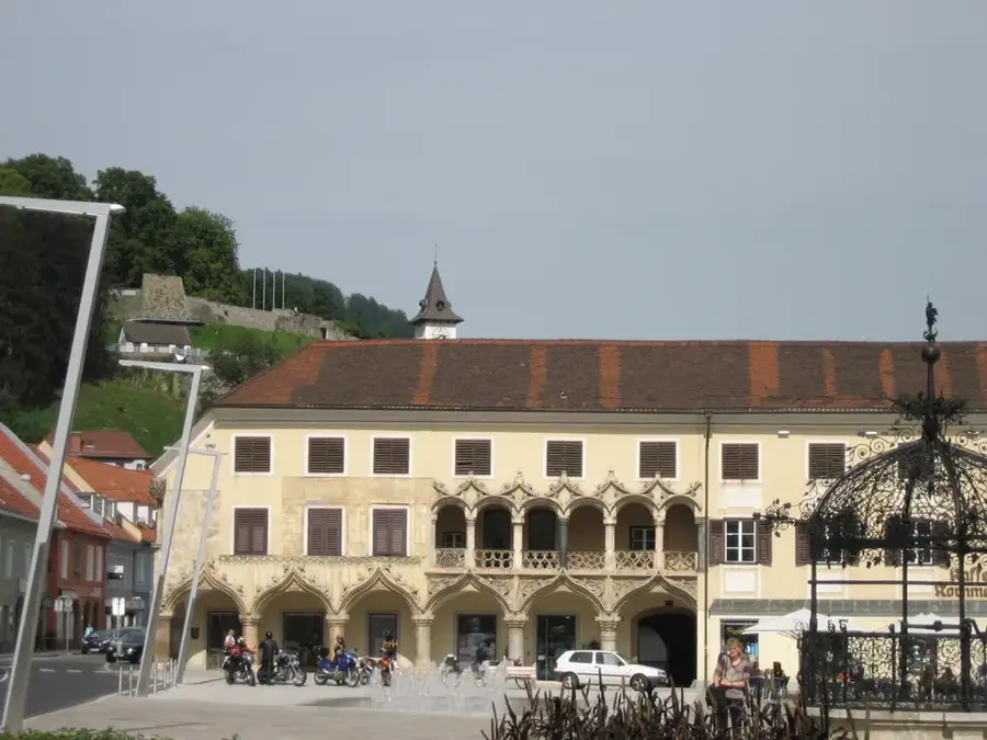
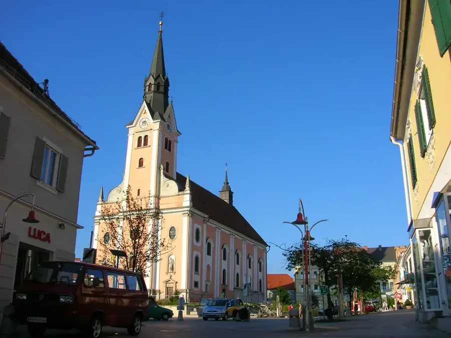
Sights in the town Gesäuse National Park (4)
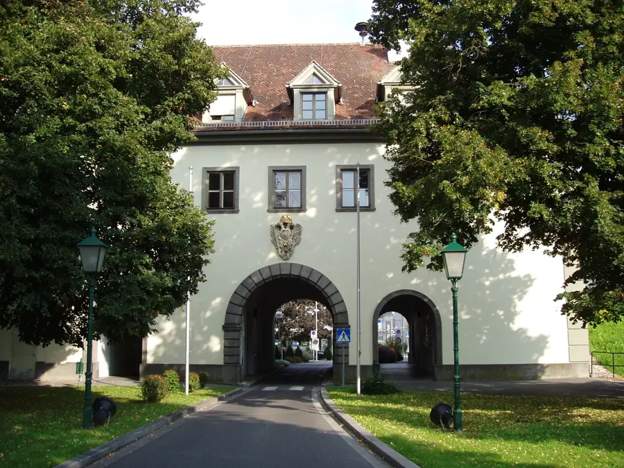
Sights nearby
Frequently asked questions
What characterizes the Gesäuse National Park?
Can you go rafting there?
Are there easy hiking trails?
Is the park accessible by public transport?
What is the 'Weidendom'?
Gesäuse National Park: where is it located?
Gesäuse National Park: what is there to see?
Gesäuse National Park: when is the best time to visit?
Gesäuse National Park: why is it worth visiting?

Nearby cities
History & landmarks
Nature
More places