Plizio Visual Lab
Geghama Mountains
Weather…
Water temperature…
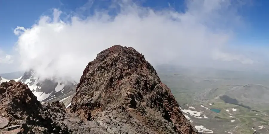
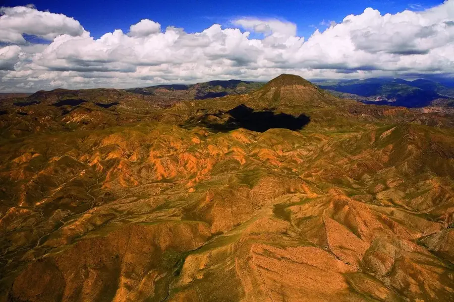
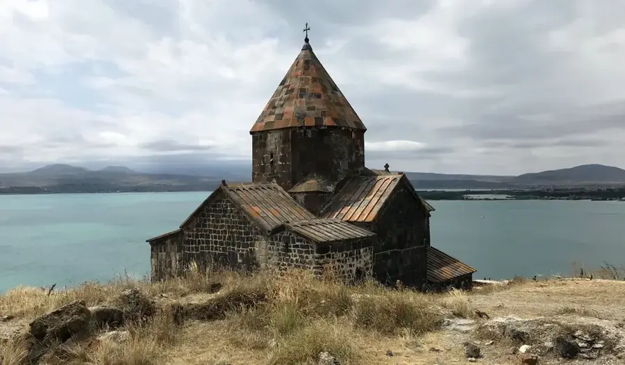
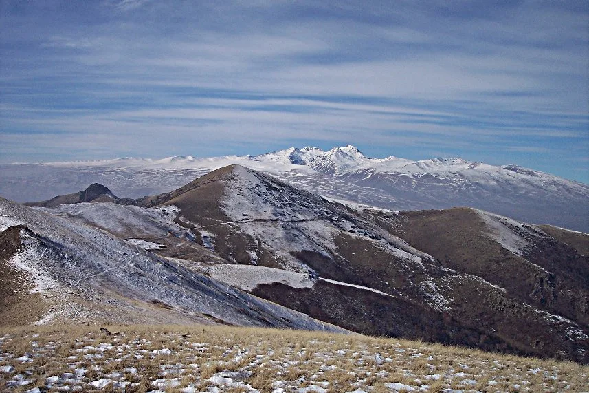
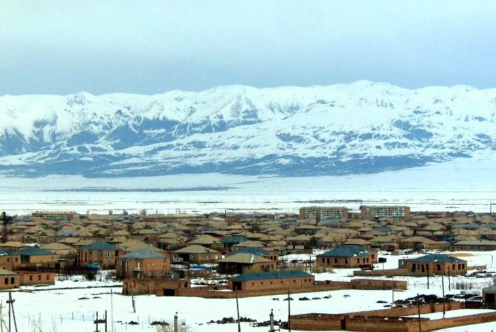
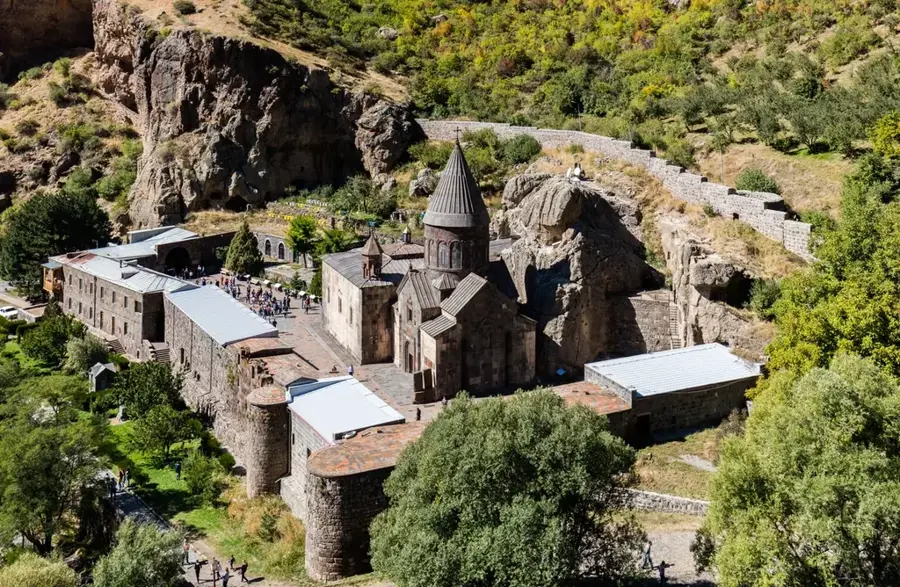
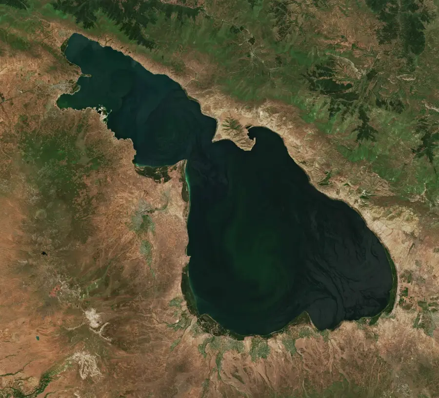
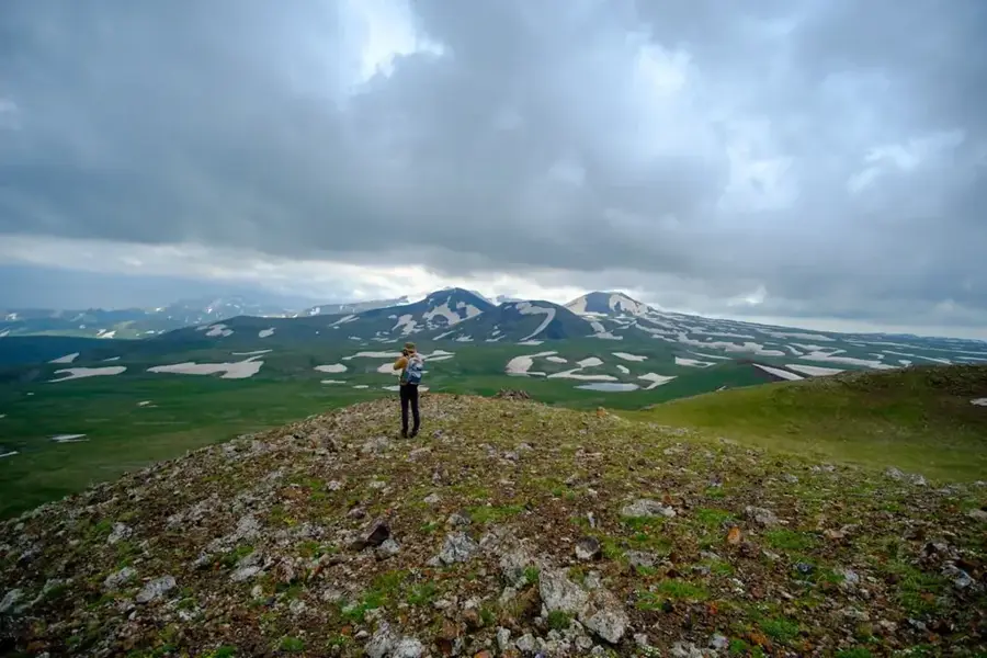
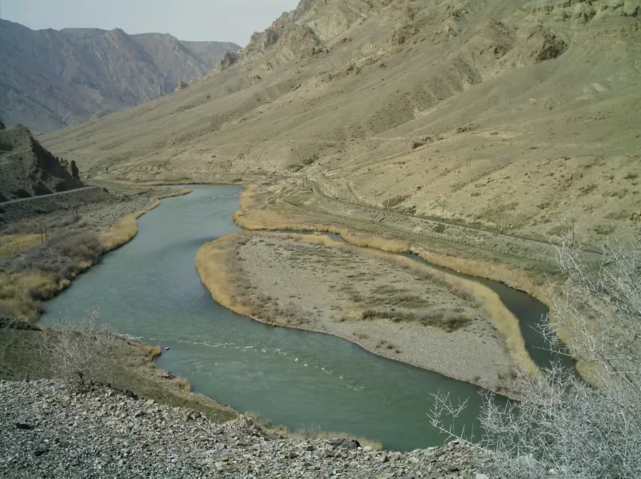
The Geghama Mountains are a volcanic highland range in central Armenia, extending for about 65 kilometers between Lake Sevan to the east and the Ararat Plain to the west. The range consists of over 120 extinct volcanic cones, with Mount Azhdahak being the highest at 3597 meters. The plateau sits at an average elevation of 2500 to 3000 meters and is characterized by basaltic lava flows and volcanic tuffs. These mountains serve as a crucial watershed, feeding important rivers such as the Hrazdan and Azat, which are vital for Armenia's irrigation systems. The landscape is largely treeless, covered by alpine and subalpine meadows used as summer pastures by local herders. Archaeologically, the region is renowned for its prehistoric 'dragon stones' (Vishapakars) and extensive petroglyphs, indicating thousands of years of human activity. The volcanic events that shaped the range occurred primarily during the late Pleistocene and Holocene epochs.
- Location: Armenia
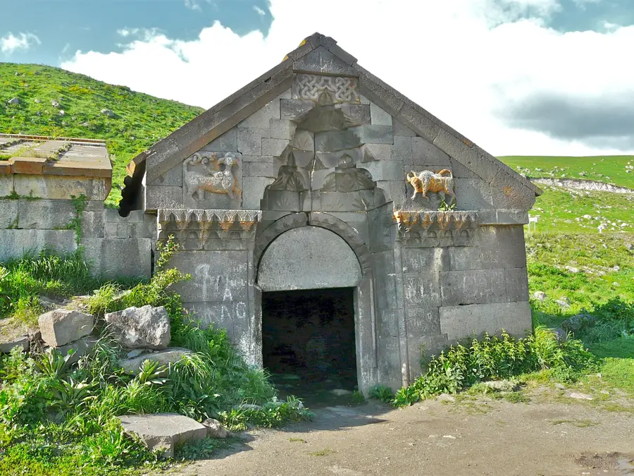
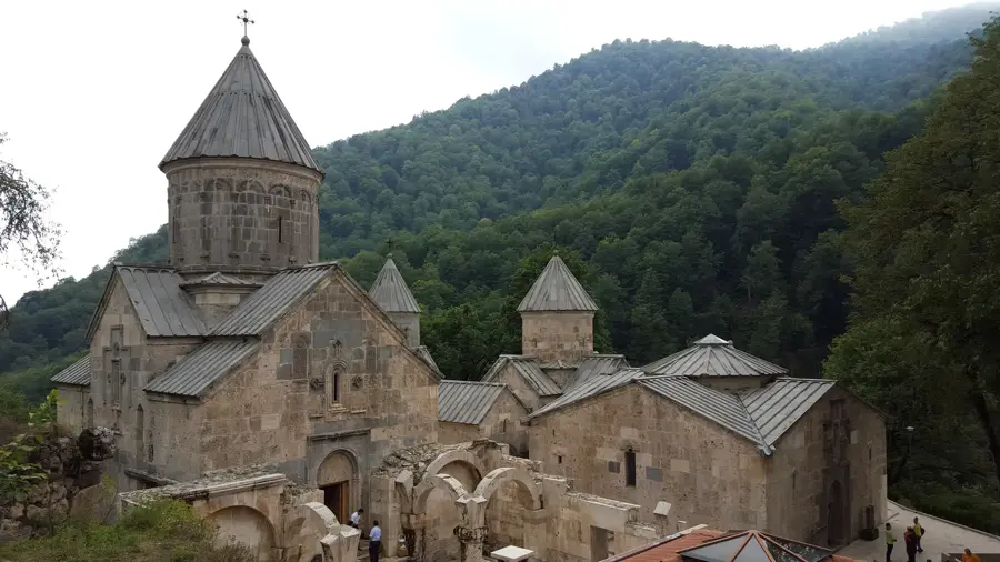
- Top sights: Vishapakar · Great Spitakasar · Nazeli
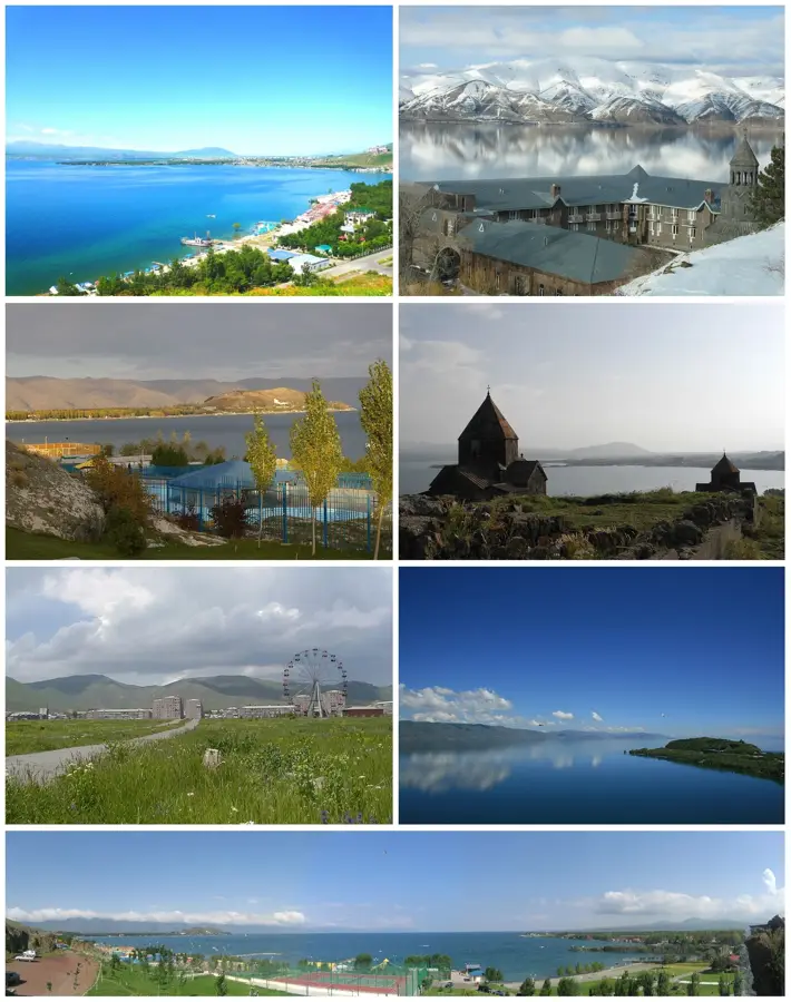
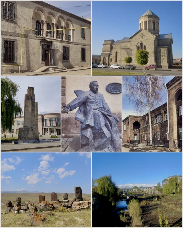
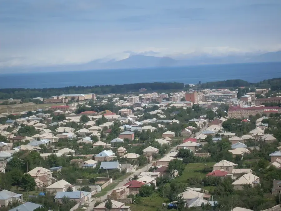
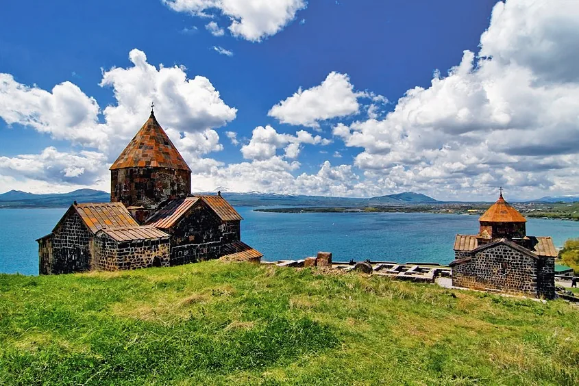
- Nearby: Gavar (23 km)
Best time to visit & climate
The most pleasant time to visit is Jul–Sep.
| Jan | Feb | Mar | Apr | May | Jun | Jul | Aug | Sep | Oct | Nov | Dec | |
|---|---|---|---|---|---|---|---|---|---|---|---|---|
| Avg °C | -6 | -4 | 2 | 6 | 12 | 17 | 21 | 21 | 16 | 9 | 2 | -3 |
| Rain mm | 16 | 15 | 29 | 42 | 57 | 44 | 25 | 19 | 20 | 33 | 19 | 15 |
📋 Practical info
Geography
Facts
- Mountain range extending for about 65 km.
- Contains over 120 extinct volcanic cones.
- Highest elevation is Mount Azhdahak (3597 m).
- Source of the Hrazdan and Azat river systems.
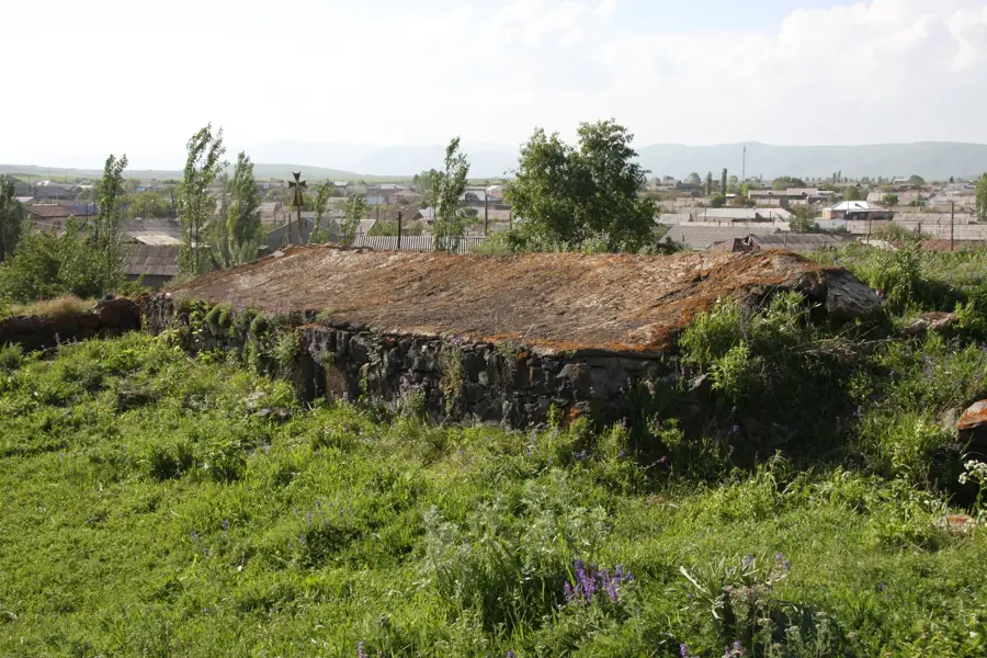
- Famous for prehistoric 'dragon stones' (Vishapakars).
- Volcanic activity persisted into the Holocene.
Explore nearby
Notable places around
Route planner — Car & Motorhome
Where do you start? We build the route here, with stops and country notes along the way.
© OpenStreetMap contributors · OpenRouteService
Sights in the town Geghama Mountains (4)
Sights nearby
Frequently asked questions
What is the Geghama Mountains area for travelers?
How much time should you plan for the range?
What is the best season for trekking?
Is the area family-friendly?
What should you watch for with weather and visibility?
Geghama Mountains: where is it located?
Geghama Mountains: what is there to see?
Geghama Mountains: when is the best time to visit?
Geghama Mountains: why is it worth visiting?

Nearby cities


History & landmarks
Nature
More places