Plizio Visual Lab
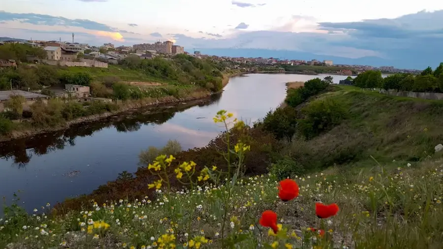
Aras River
Weather…
Water temperature…
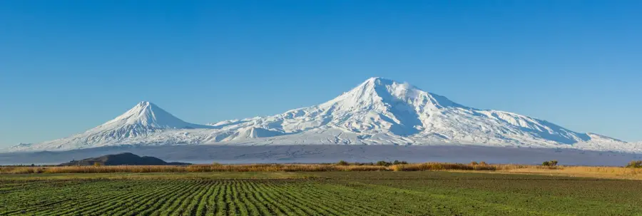
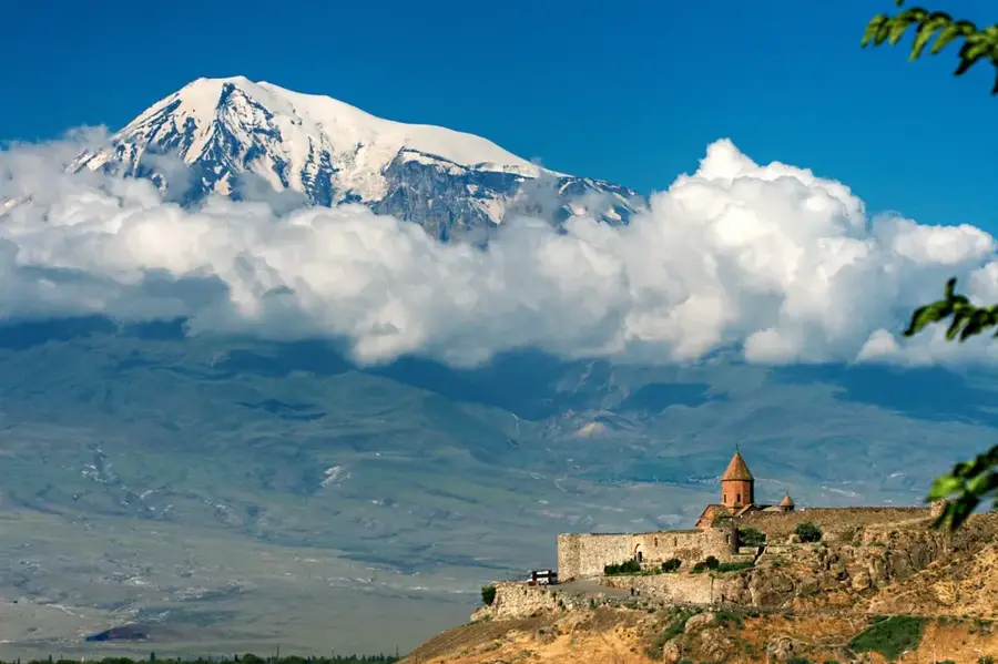
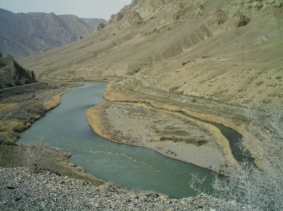
The Aras River, known in antiquity as the Araxes, is one of the major rivers of Western Asia, forming much of Armenia's southern border with Turkey, Iran, and Azerbaijan. Spanning a total length of approximately 1,072 kilometers, it originates in the Bingöl Mountains of Turkey and flows through the fertile Ararat plain before joining the Kura River in Azerbaijan. For Armenia, the Aras holds immense cultural and historical significance, often referred to as 'Mother Aras' and serving as a powerful symbol of Armenian national identity. The river is the primary water source for irrigation in the Ararat plain, which is the agricultural heartland of the country. Geographically, the Aras valley serves as an important migration route for birds and supports a diverse range of fish species. As a transboundary river, its water management is subject to international treaties, making it a point of significant strategic and political importance. The Aras remains a majestic natural force that has shaped the history and landscape of the region for millennia.
- Location: Armenia
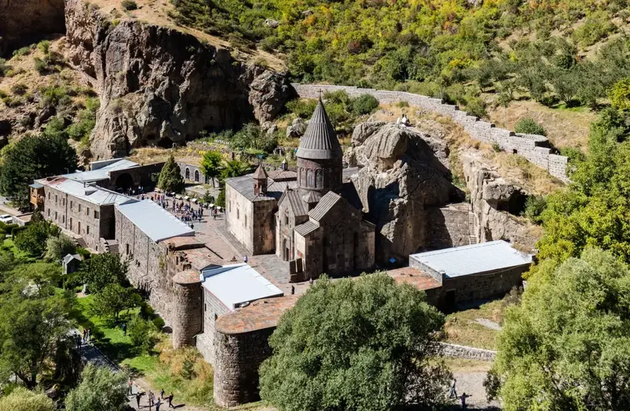
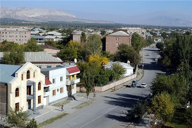
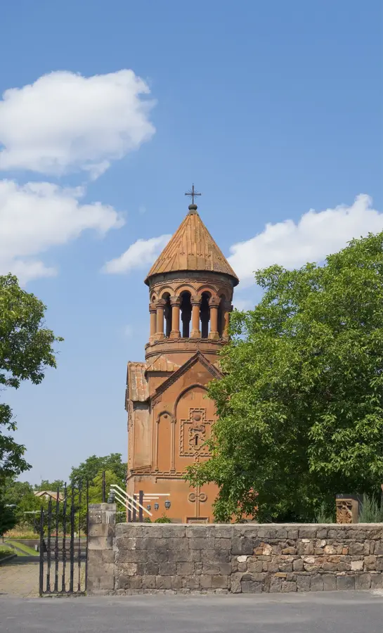
- Top sights: Armash Important Bird Area · Ch`obandara · Dyowgidash
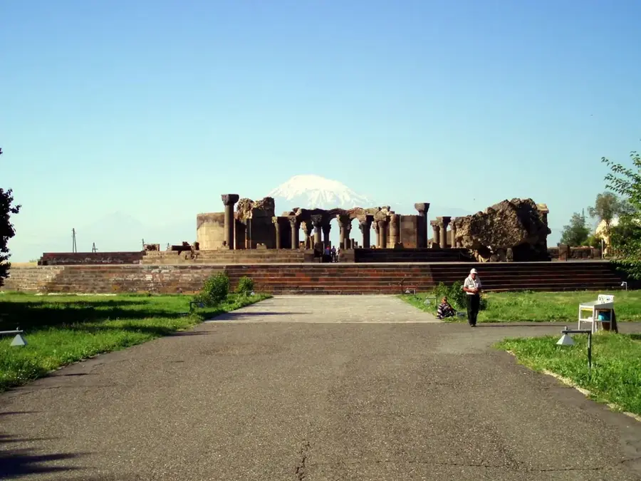
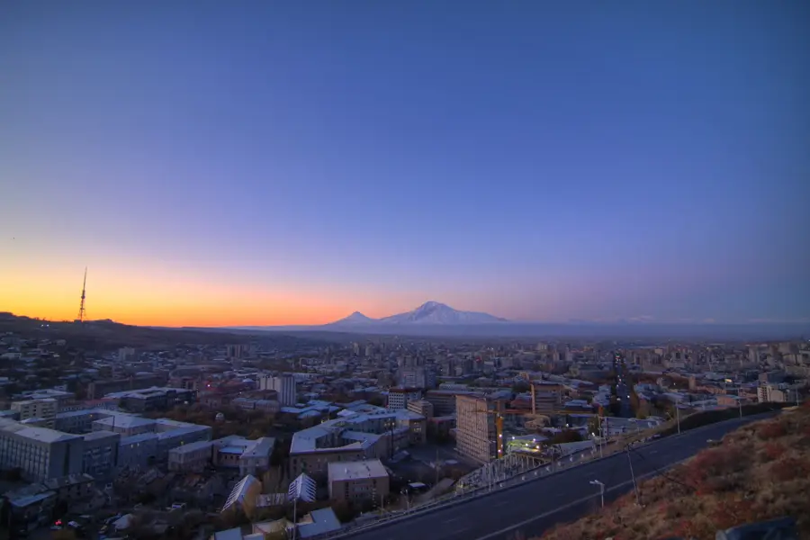
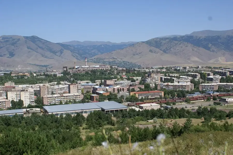
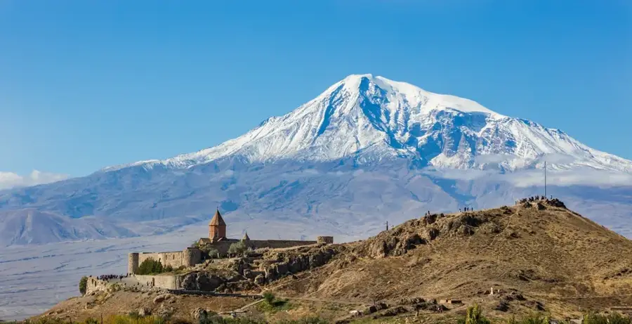
- Nearby: Ararat (15 km)
Best time to visit & climate
The most pleasant time to visit is Jul–Sep.
| Jan | Feb | Mar | Apr | May | Jun | Jul | Aug | Sep | Oct | Nov | Dec | |
|---|---|---|---|---|---|---|---|---|---|---|---|---|
| Avg °C | -6 | -4 | 2 | 6 | 12 | 17 | 21 | 21 | 16 | 9 | 2 | -3 |
| Rain mm | 16 | 15 | 29 | 42 | 57 | 44 | 25 | 19 | 20 | 33 | 19 | 15 |
📋 Practical info
Geography
Facts
- The Aras River spans a total length of approximately 1,072 kilometers.
- It originates in the Bingöl Mountains of Turkey at over 2,700 meters.
- The river forms the entire international border between Armenia and Iran.
- The drainage basin of the Aras covers about 102,000 square kilometers.
- Historically, the Aras often served as the border between the Persian and Russian Empires.
- The river merges with the Kura River in the Sabirabad District of Azerbaijan.
Explore nearby
Notable places around
Route planner — Car & Motorhome
Where do you start? We build the route here, with stops and country notes along the way.
© OpenStreetMap contributors · OpenRouteService
Sights in the town Aras River (3)
Sights nearby
Frequently asked questions
Why is the Aras River important?
Is the Aras good for birdwatching?
What is the best travel season?
Are there nice picnic spots?
What is the river landscape known for?
Aras River: where is it located?
Aras River: what is there to see?
Aras River: when is the best time to visit?
Aras River: why is it worth visiting?

Nearby cities


History & landmarks
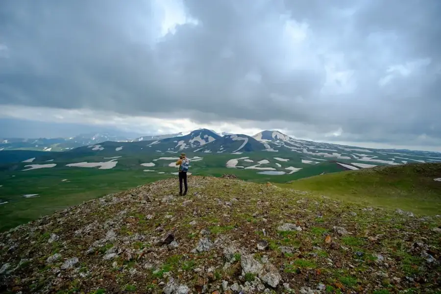
Nature
More places