Plizio Visual Lab
Gavar
ℹ️Practical info — Gavar
▾
🌤 Weather — 5 days
📍 Nearby
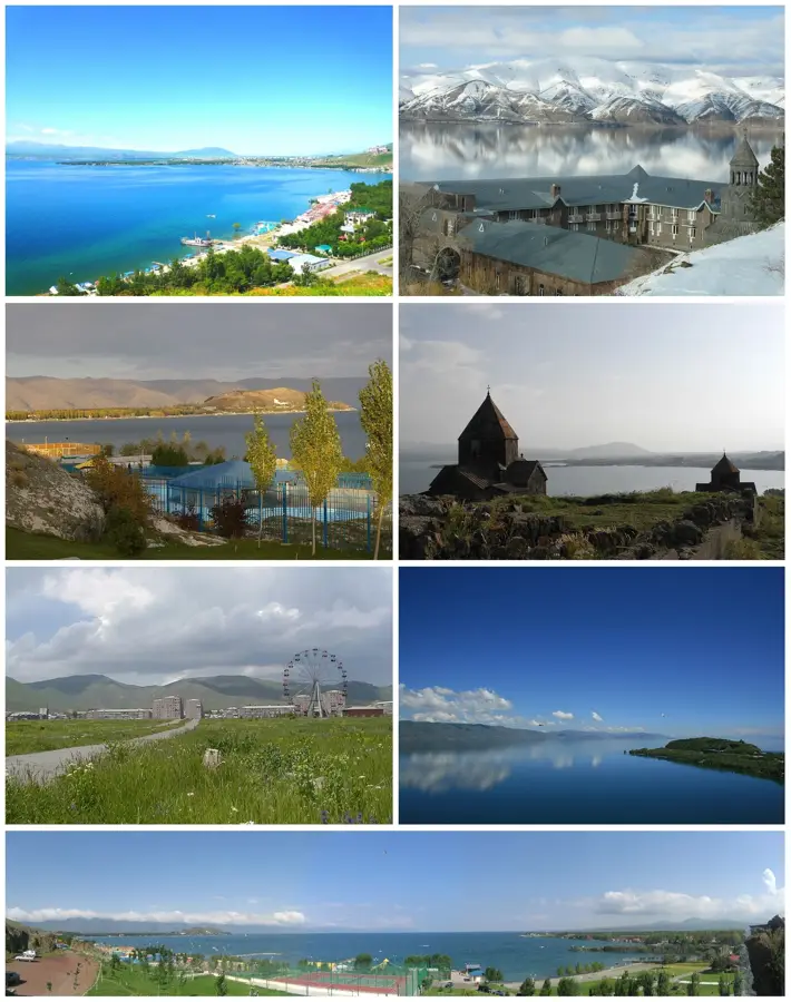
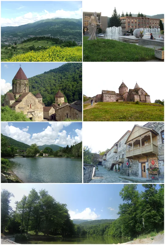
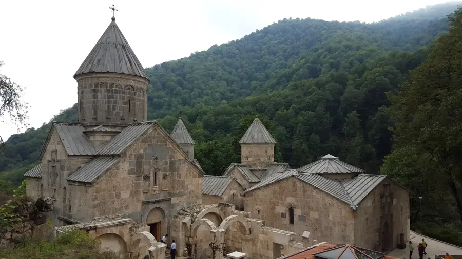
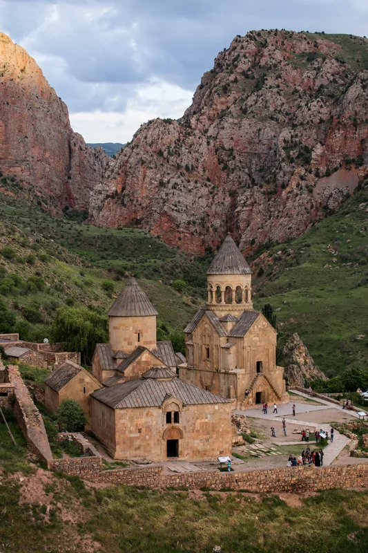
Sights nearby
💡 Tips
- Bring warm clothes even in the summer, as nights are chilly this close to Lake Sevan.
- Public transport is sparse, so it is best to arrange local taxi rides in advance.
- Since the area is less touristy, basic knowledge of Russian or Armenian is very helpful.
- Combine your stay with a visit to the nearby Noratus cemetery to see the historic khachkars.
🍽 Food
A famous local layered pastry with nuts and honey, found in local confectioneries.
Traditional beaten meat dish, prepared particularly authentically in this specific region.
Try trout (Ishkhan) or whitefish (Sig) at the taverns situated along the nearby lake road.
🛍 Shopping · 🧘 Quiet spots
At the central market, locals offer various types of their savory, homemade cheese.
Buy strong, home-distilled fruit vodka directly from regional farmers.
The small park at the main square gives a good chance to observe quiet small-town life.
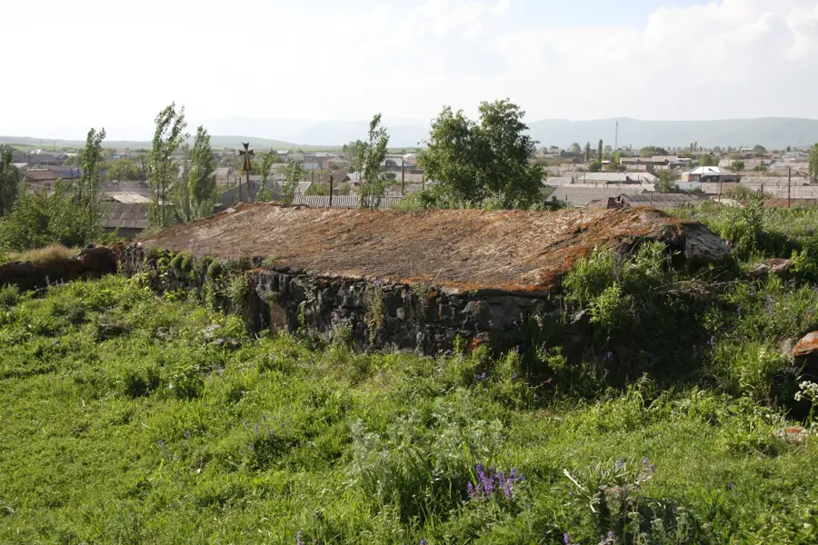
A short hike at the edge of town leads to ancient stone remains offering a nice view.
Water temperature…
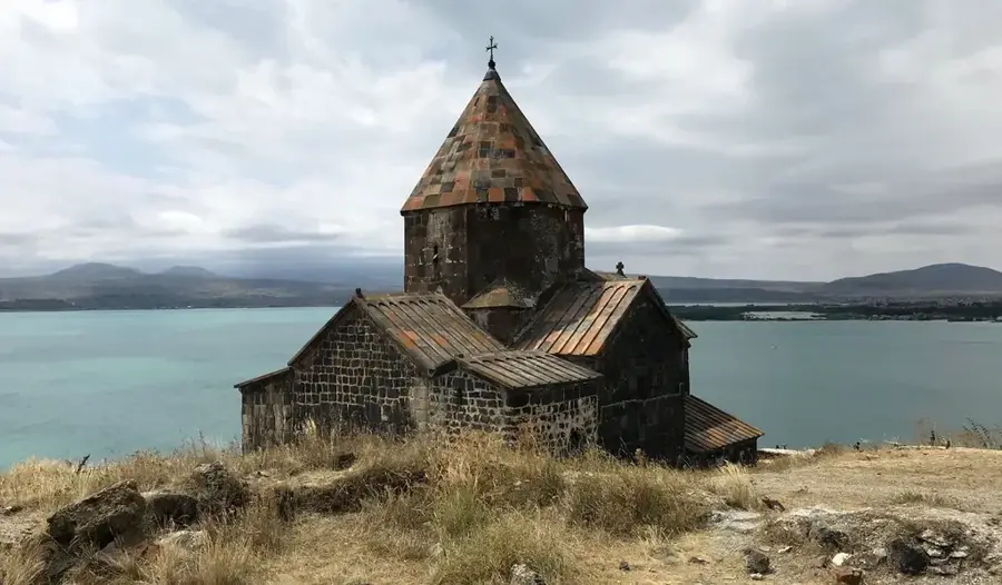
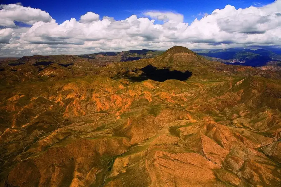
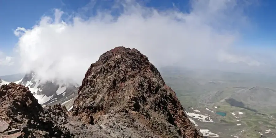
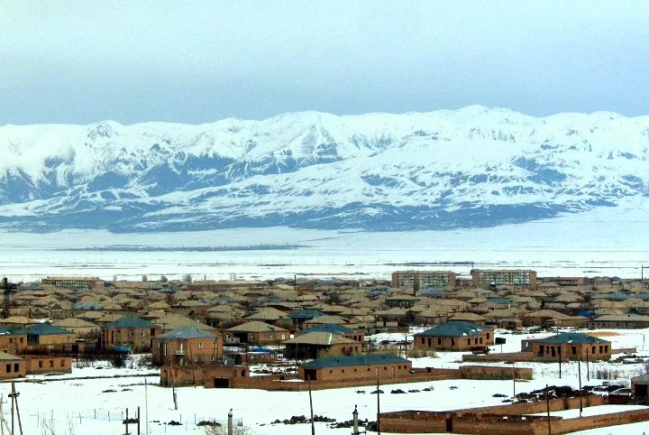
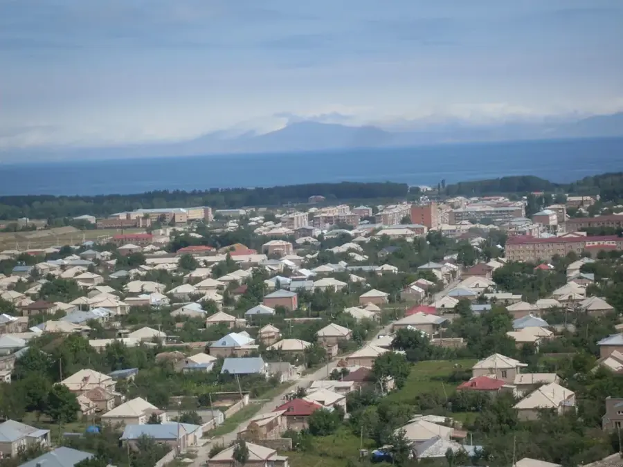
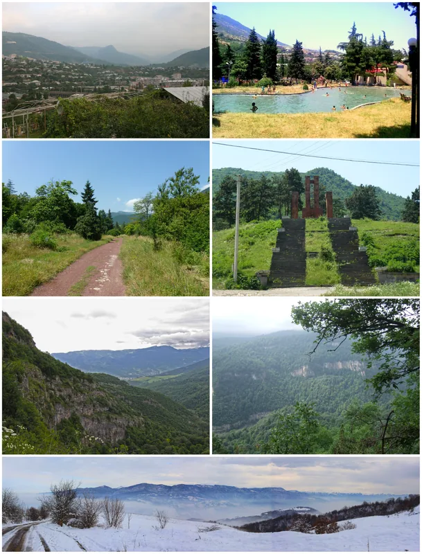
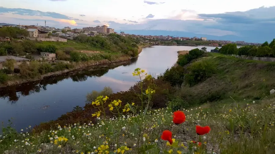
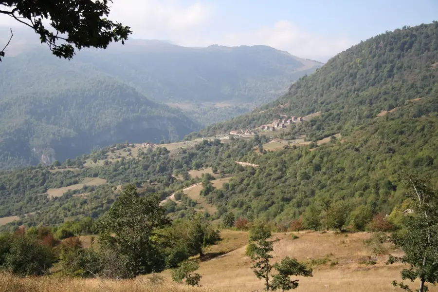
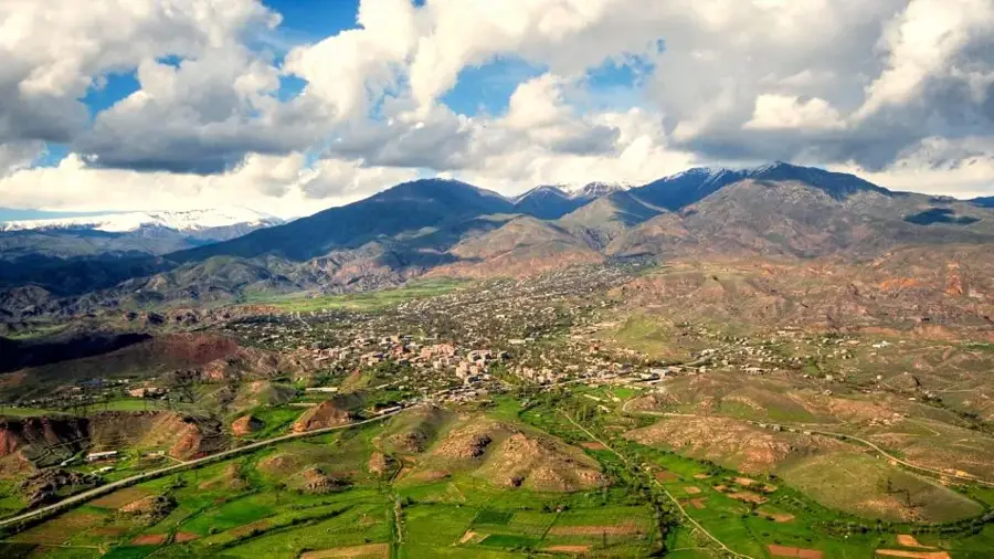
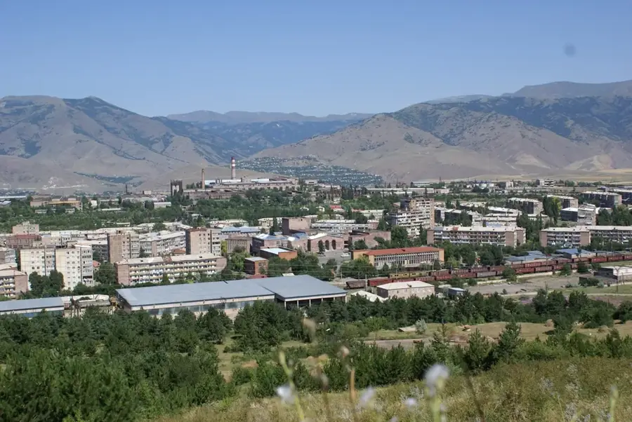
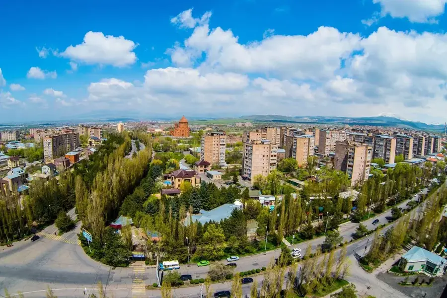
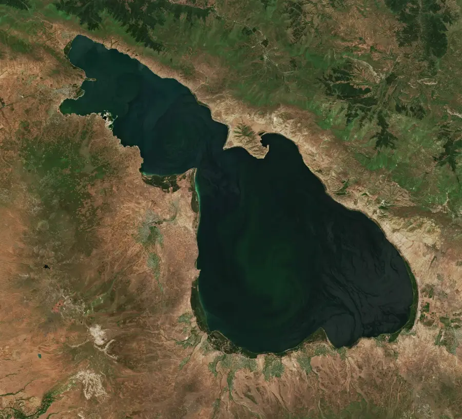
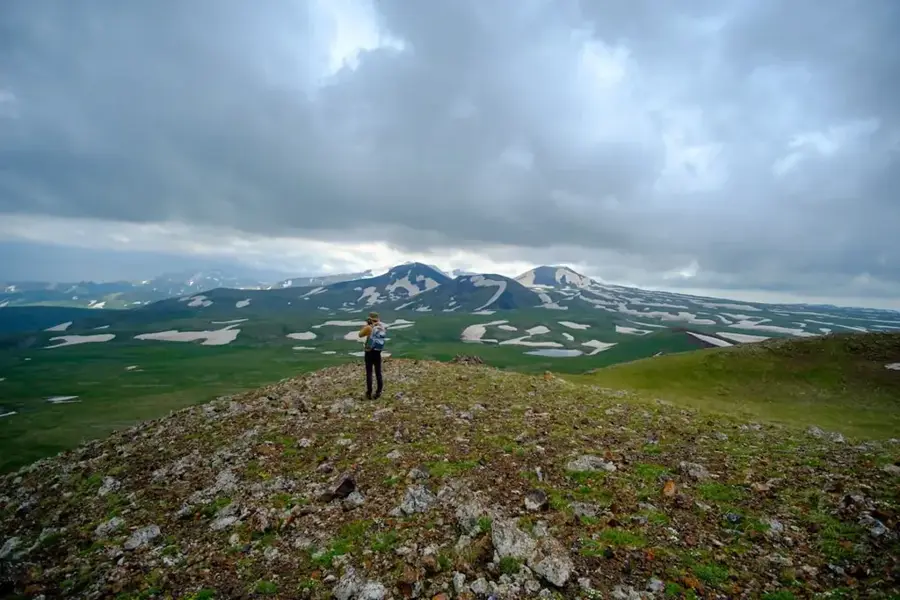
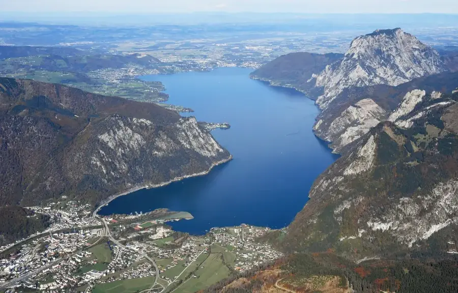
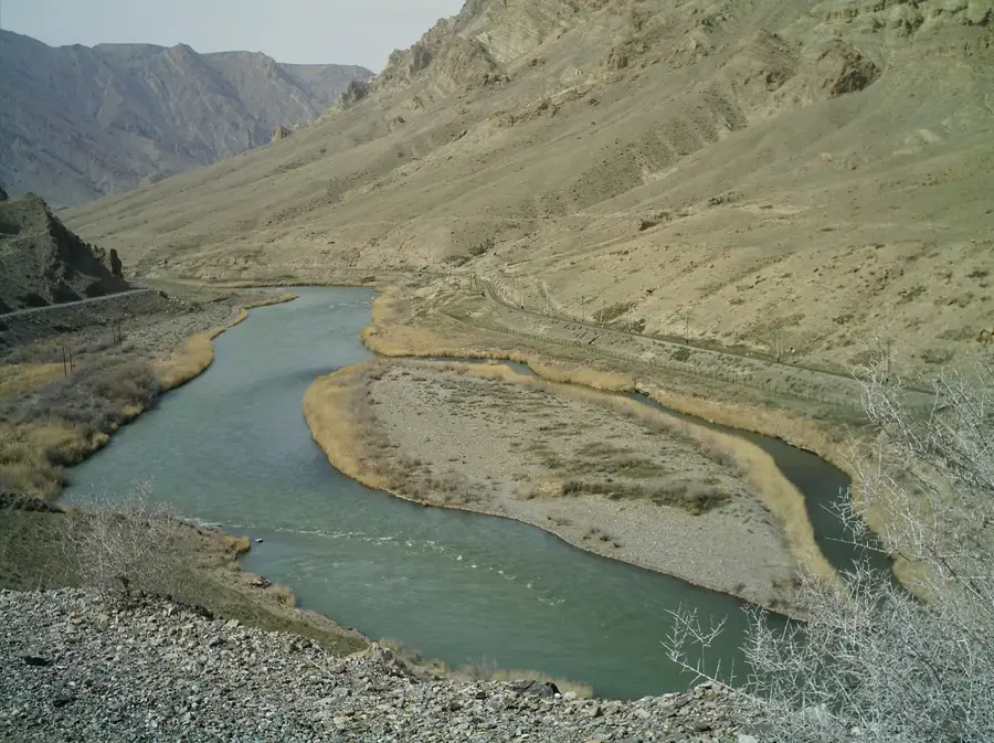
Gavar, with about 20,000 inhabitants, is the capital of Gegharkunik Province, sitting at roughly 1,980 metres above sea level just a few kilometres west of Lake Sevan. The town arose in the 19th century, when Russian authorities resettled Pontic Greeks from the region around Trabzon and Western Armenian families from Bayazet here; it was called Nor Bayazet (New Bayazet) until 1959, then renamed Kamo after the Bolshevik militant Ter-Petrosyan, and finally restored to its ancient Armenian name Gavar in 1996. Its low houses of dark basalt, several Orthodox churches surviving from the Greek period and the wide, often cold and windy plateau give the place a distinctive character. Gavar is the administrative and market centre of the region, with food, wood and leather industries and its own university, and is the starting point for trips to the medieval cross-stone field of Noratus, the archaeological zone of Lchashen and hiking routes into the Geghama Mountains.
- Location: Armenia
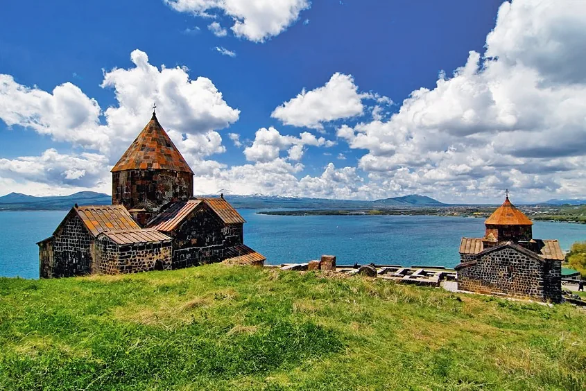
- Nearby: Sevan (25 km)
- Population: ~18.900 (2026)
Best time to visit & climate
The most pleasant time to visit is Jul–Sep.
| Jan | Feb | Mar | Apr | May | Jun | Jul | Aug | Sep | Oct | Nov | Dec | |
|---|---|---|---|---|---|---|---|---|---|---|---|---|
| Avg °C | -7 | -5 | 1 | 5 | 11 | 15 | 18 | 18 | 14 | 8 | 1 | -5 |
| Rain mm | 21 | 18 | 29 | 50 | 62 | 52 | 31 | 26 | 23 | 38 | 21 | 19 |
Geography
Facts
- Gavar is located at a high altitude of 2,000 meters above sea level.
- The city was established in 1830 under the name Nor Bayazet.
- It features the prominent Cathedral of the Holy Mother of God.
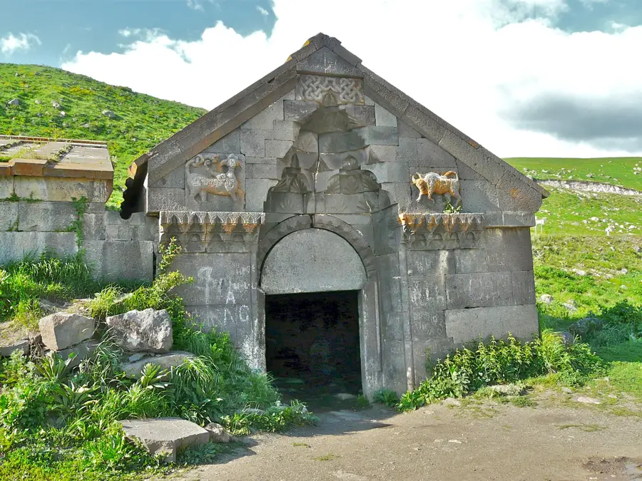
- The nearby Noratus cemetery contains the largest cluster of khachkars in the world.
- The city is a primary center for potato cultivation in Armenia.
- Gavar was officially incorporated as a city in 1959.
Explore nearby
Notable places around
Route planner — Car & Motorhome
Where do you start? We build the route here, with stops and country notes along the way.
© OpenStreetMap contributors · OpenRouteService
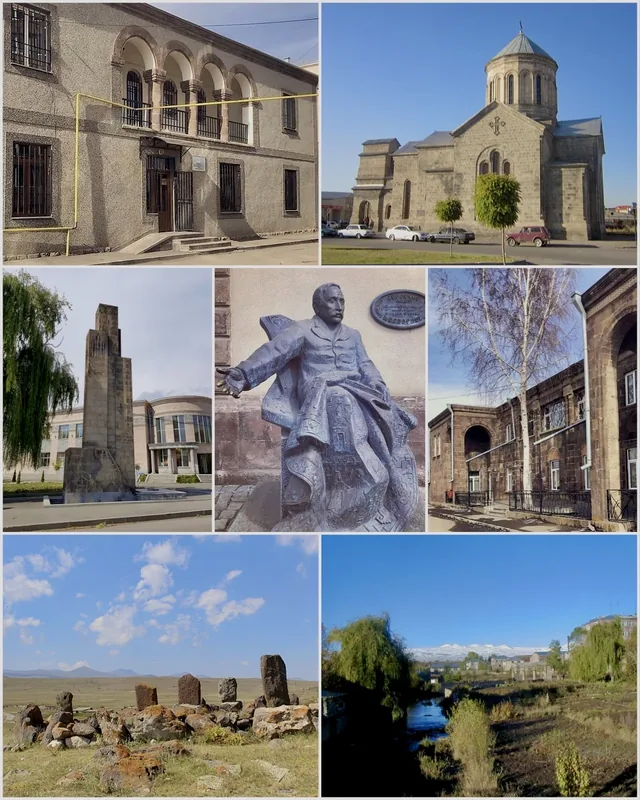
Sights in the town Gavar (1)
Frequently asked questions
How many days do you need for Gavar?
When is the best time to visit Gavar?
How do you get to Gavar?
What should you try there?
Is Gavar family-friendly?
Gavar: where is it located?
Gavar: when is the best time to visit?
Gavar: why is it worth visiting?

Nearby cities

History & landmarks
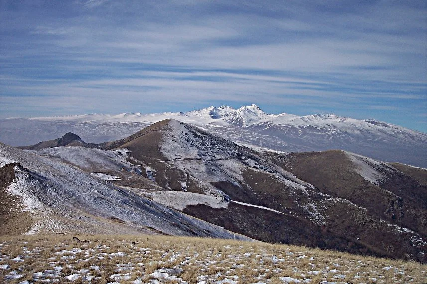
Nature
More places