Plizio Visual Lab
Mount Azhdahak
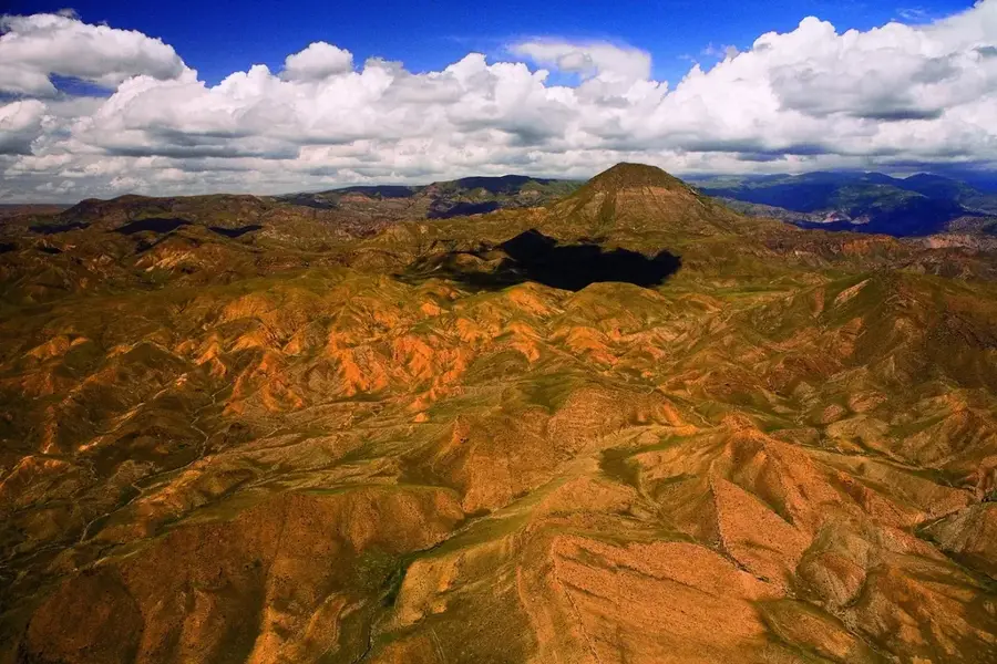
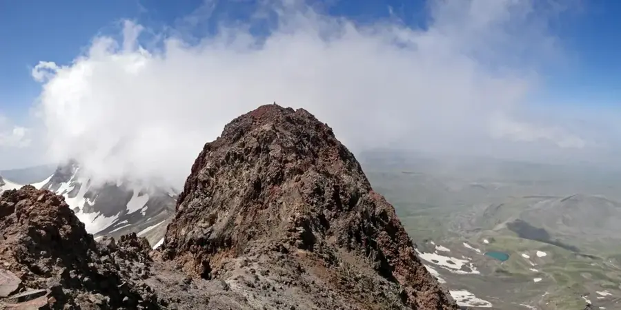
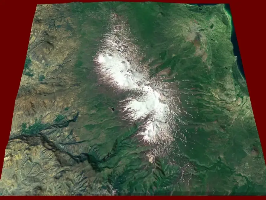
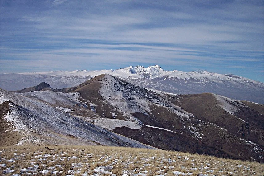
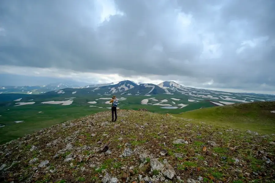
Mount Azhdahak stands at 3,597 meters as the highest peak of the Geghama Mountains in central Armenia and is an impressive extinct volcano. It is characterized by its nearly circular crater, which contains a crystal-clear lake fed by melting snow. The mountain's geological structure consists primarily of reddish volcanic scoria and lava bombs, giving it a distinctive and rugged appearance. The area surrounding Azhdahak is rich in archaeological finds, particularly petroglyphs (rock carvings) dating back to the 2nd-1st millennia BC, depicting scenes of prehistoric life, animals, and celestial symbols. Reaching the summit provides wide-open panoramic views of Lake Sevan, the Ararat plain, and Mount Aragats. Due to its high elevation, the mountain experiences an alpine climate with short summers and long, snowy winters. Trails to Azhdahak are highly favored by trekking enthusiasts, as they traverse pristine volcanic landscapes and offer a unique intersection of natural beauty and ancient history.
- Location: Armenia
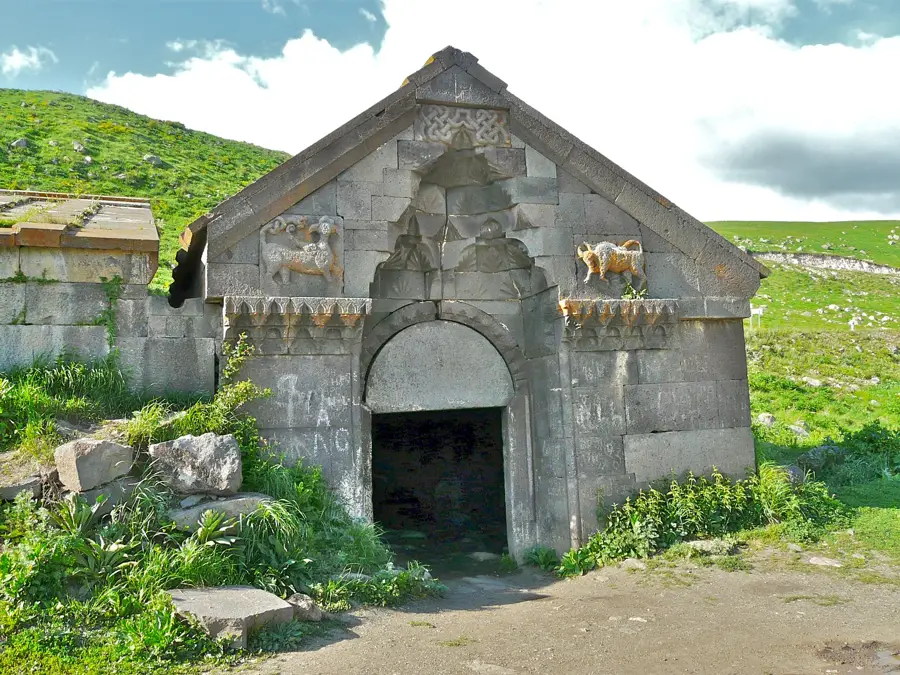
- Top sights: Azhdahak · Eastern Aghusar · Western Aghusar
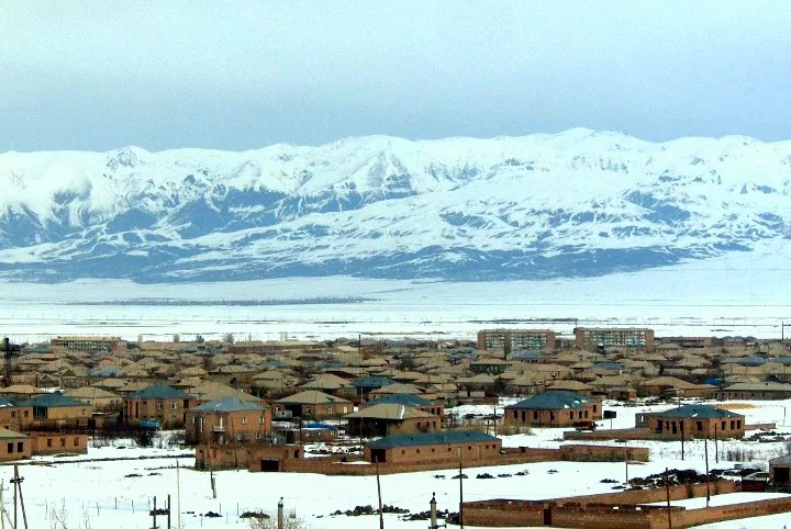
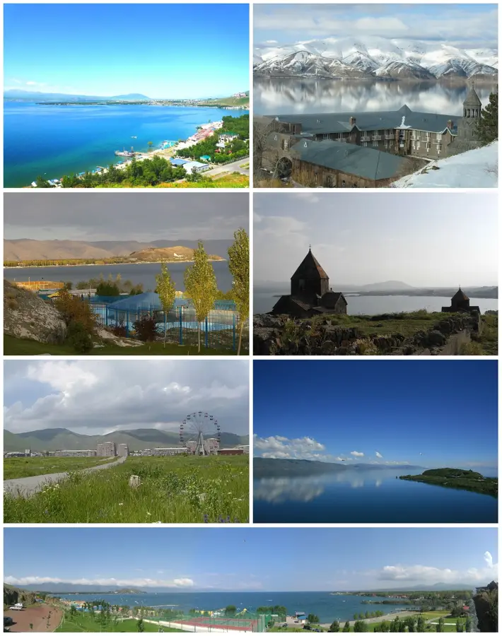
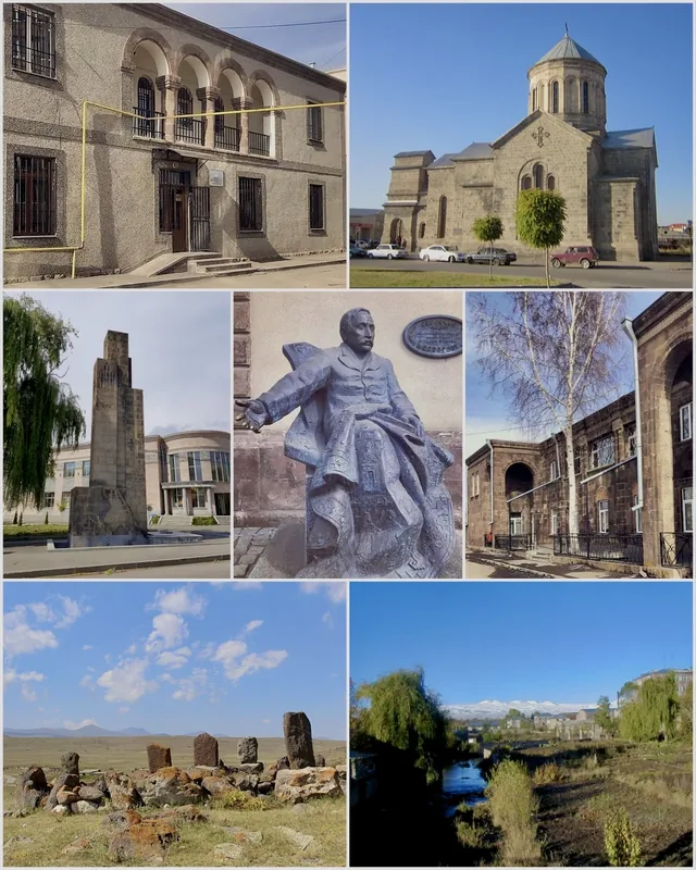
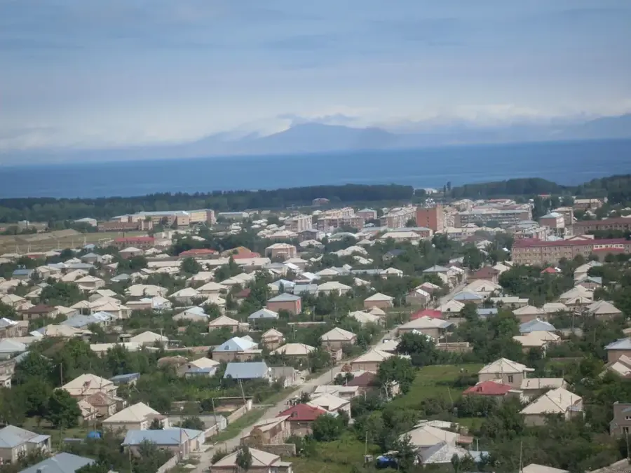
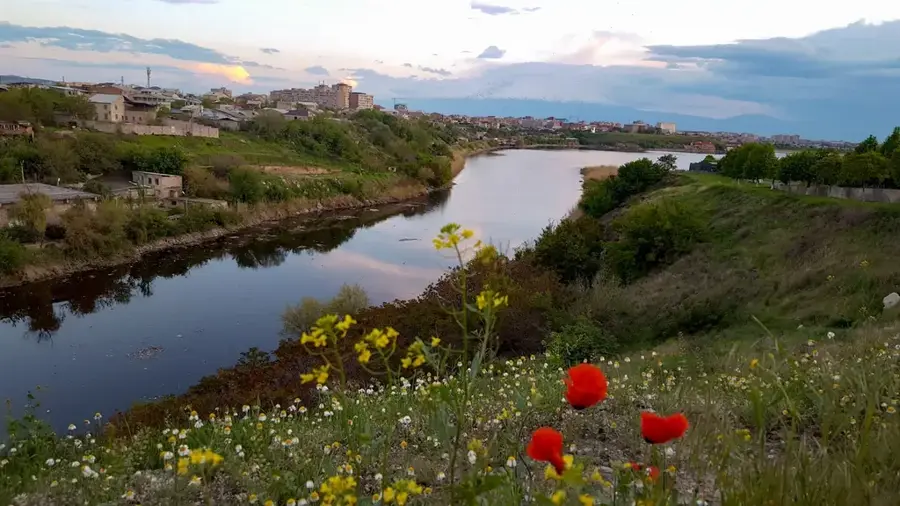
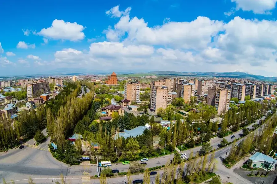
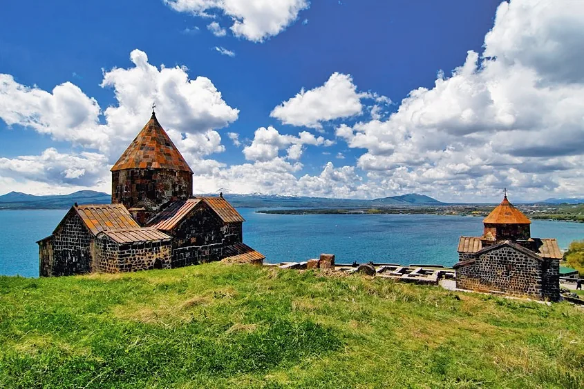
- Nearby: Gavar (23 km)
Best time to visit & climate
The most pleasant time to visit is Jul–Sep.
| Jan | Feb | Mar | Apr | May | Jun | Jul | Aug | Sep | Oct | Nov | Dec | |
|---|---|---|---|---|---|---|---|---|---|---|---|---|
| Avg °C | -6 | -4 | 2 | 6 | 12 | 17 | 21 | 21 | 16 | 9 | 2 | -3 |
| Rain mm | 16 | 15 | 29 | 42 | 57 | 44 | 25 | 19 | 20 | 33 | 19 | 15 |
📋 Practical info
Geography
Facts
- Azhdahak is the highest point in the Geghama Range at 3,597 meters.
- The crater lake at the summit has a diameter of approximately 200 meters.
- Petroglyphs found near the mountain date back to the 2nd-1st millennia BC.
- The volcano was last active approximately 5,000 to 6,000 years ago.
- The reddish hue of the terrain is caused by oxidized volcanic scoria.
- Both Little and Great Ararat are visible from the summit on clear days.
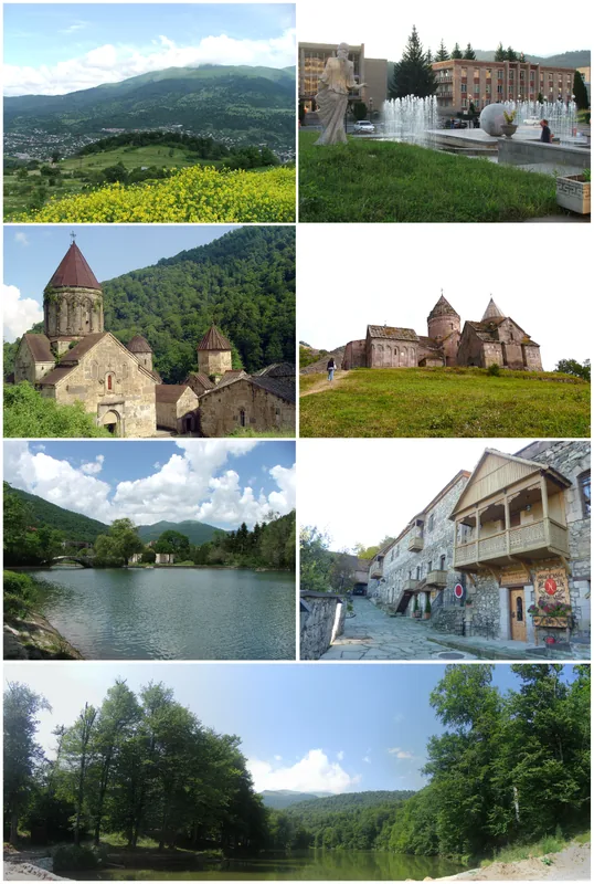
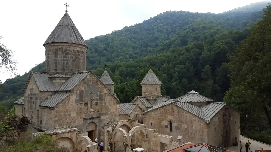
Explore nearby
Notable places around
Route planner — Car & Motorhome
Where do you start? We build the route here, with stops and country notes along the way.
© OpenStreetMap contributors · OpenRouteService
Sights in the town Mount Azhdahak (3)
Sights nearby
Frequently asked questions
How hard is it to climb Mount Azhdahak?
What is the best season?
Do you need a car?
Is it a good photo spot?
What should you watch for at altitude?
Mount Azhdahak: where is it located?
Mount Azhdahak: what is there to see?
Mount Azhdahak: when is the best time to visit?
Mount Azhdahak: why is it worth visiting?

Nearby cities


History & landmarks
Nature
More places