Plizio Visual Lab
Mount Azhdahak
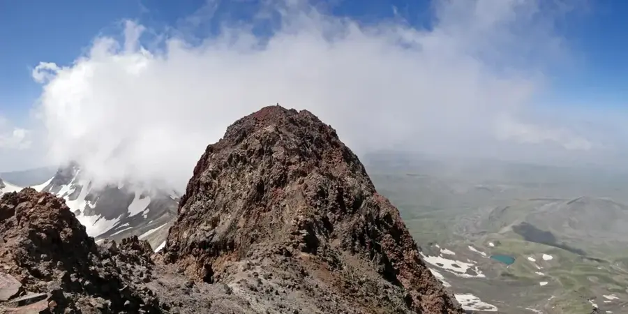
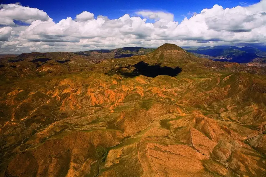
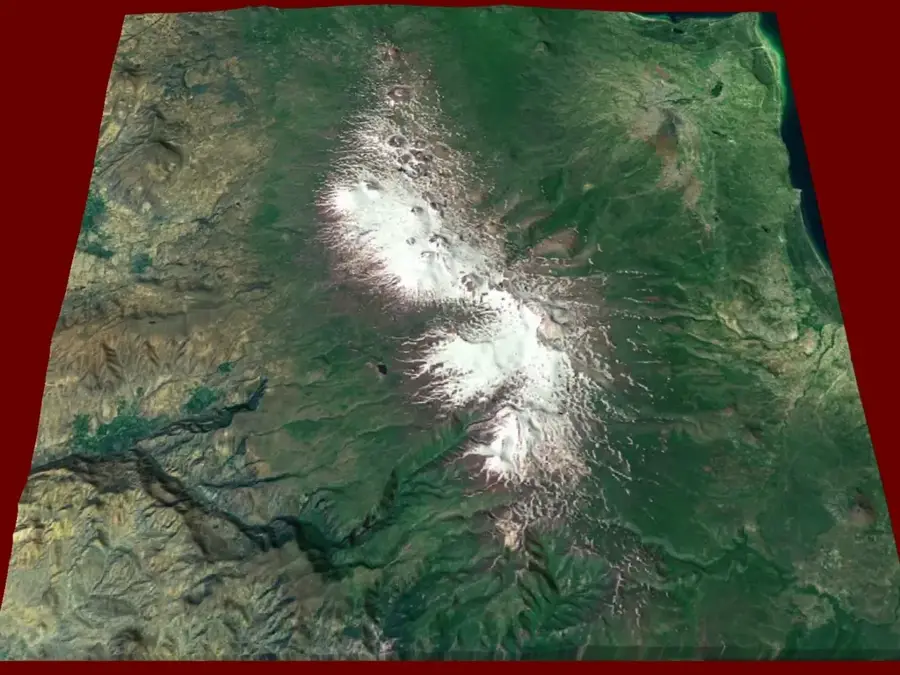
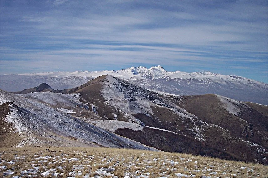
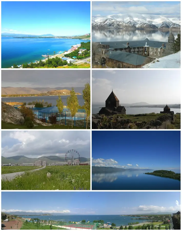
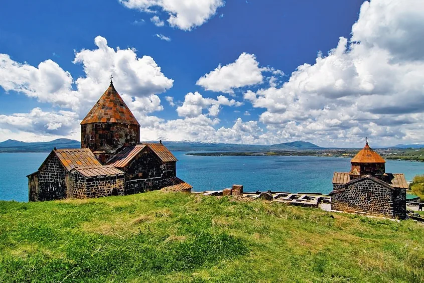
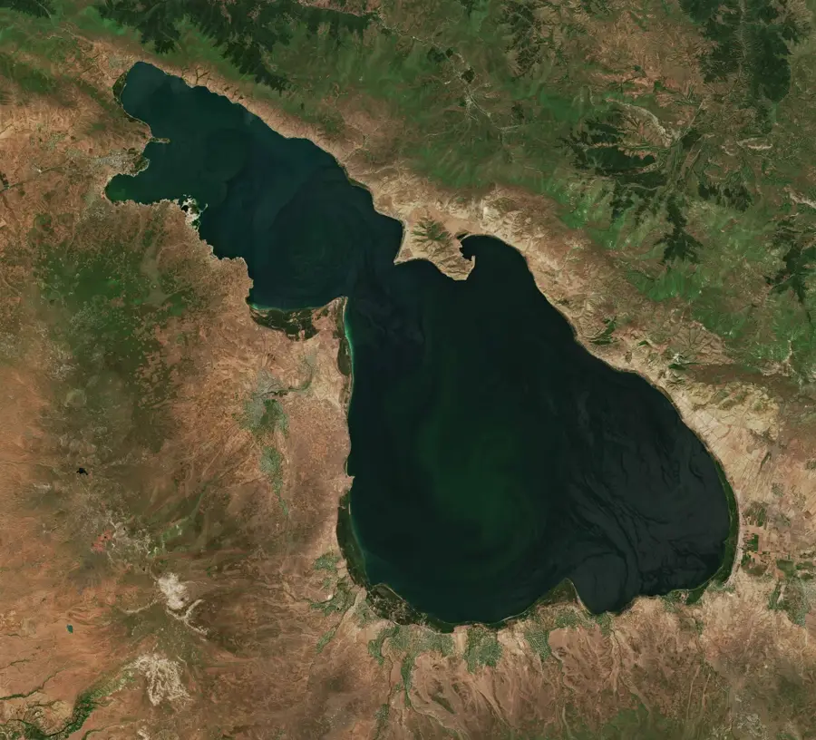
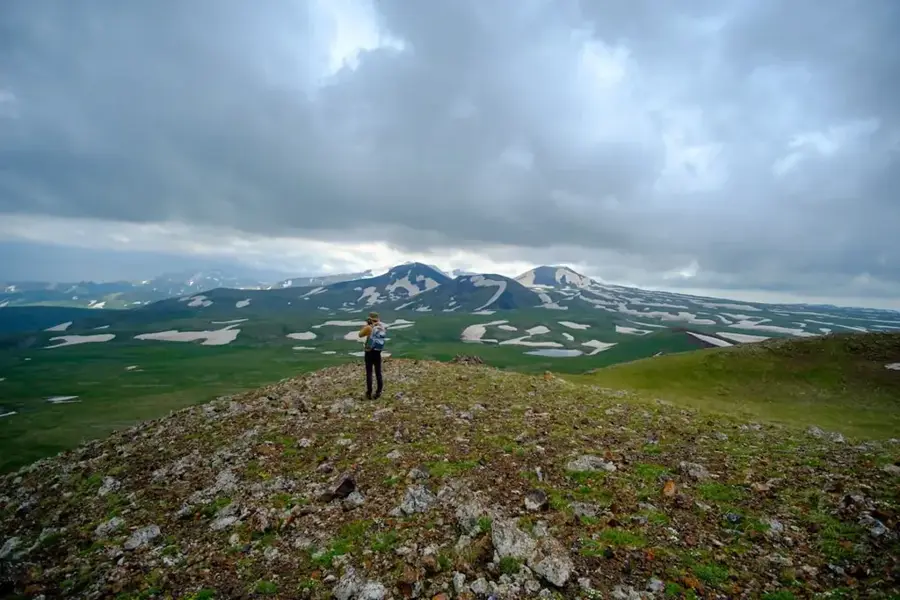
Mount Azhdahak is the highest peak of the Geghama Mountains in central Armenia, reaching an elevation of 3597 meters. This extinct volcano is famous for its nearly circular crater, which houses a clear crater lake approximately 200 meters in diameter and 8 meters deep. The surrounding landscape is volcanic, characterized by numerous scoria cones and ancient lava flows that give the area a lunar appearance. From the summit, visitors can enjoy panoramic views of Lake Sevan to the east and Mount Ararat to the west. The slopes and surrounding plateau are home to significant prehistoric petroglyphs, depicting animals, humans, and celestial maps dating back to the Bronze Age. The name Azhdahak is derived from Armenian mythology, referring to a dragon-like giant or sea monster. Currently, the mountain serves as a hub for ecotourism and trekking due to its accessibility and unique high-altitude steppe flora.
- Location: Armenia
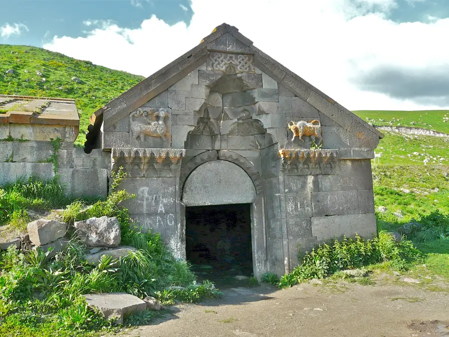
- Top sights: Red Ridge · Dimatsler · Eritsasar
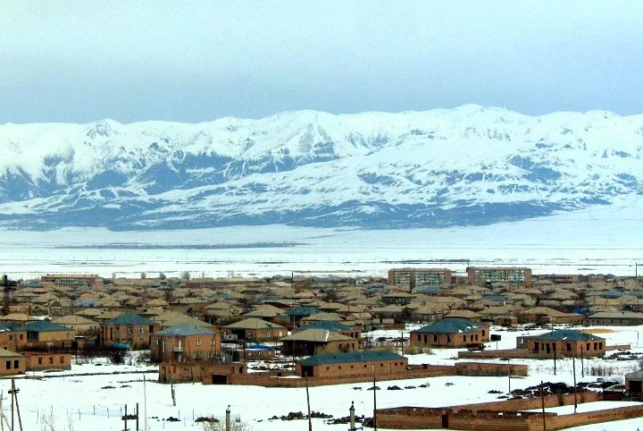
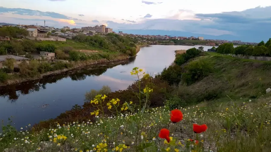
- Nearby: Gavar (23 km)
Best time to visit & climate
The most pleasant time to visit is Jul–Sep.
| Jan | Feb | Mar | Apr | May | Jun | Jul | Aug | Sep | Oct | Nov | Dec | |
|---|---|---|---|---|---|---|---|---|---|---|---|---|
| Avg °C | -6 | -4 | 2 | 6 | 12 | 17 | 21 | 21 | 16 | 9 | 2 | -3 |
| Rain mm | 16 | 15 | 29 | 42 | 57 | 44 | 25 | 19 | 20 | 33 | 19 | 15 |
📋 Practical info
Geography
Facts
- Elevation of 3597 meters above sea level.
- Highest peak of the volcanic Geghama Mountains.
- Features a crater lake with a 200-meter diameter.
- Bronze Age petroglyphs found in the surrounding area.
- Volcanic activity created scoria cones nearby.
- Named after a dragon-like giant in Armenian myths.
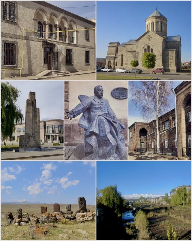
Explore nearby
Notable places around
Route planner — Car & Motorhome
Where do you start? We build the route here, with stops and country notes along the way.
© OpenStreetMap contributors · OpenRouteService
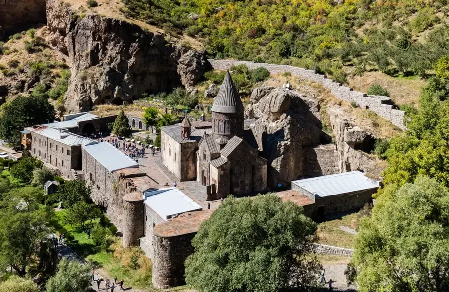
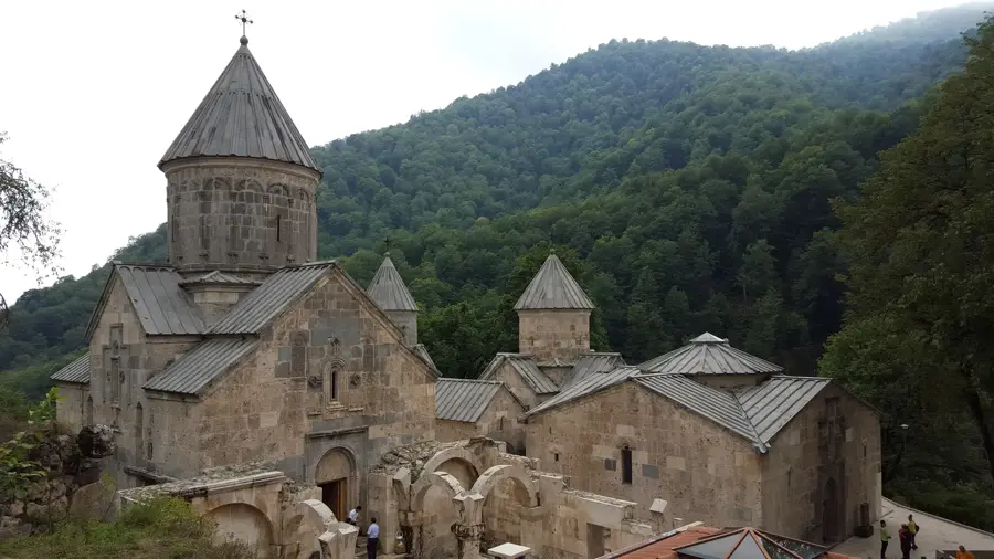
Sights in the town Mount Azhdahak (3)
Sights nearby
Frequently asked questions
How hard is the climb up Berg Aschdahak?
When is the best time to go to Aschdahak?
Do you need a 4x4 for Aschdahak?
What should you watch out for in the weather?
Is Aschdahak worth it for photography?
Mount Azhdahak: where is it located?
Mount Azhdahak: what is there to see?
Mount Azhdahak: when is the best time to visit?
Mount Azhdahak: why is it worth visiting?

Nearby cities


History & landmarks
Nature
More places