Plizio Visual Lab
Vardenis

ℹ️Practical info — Vardenis
▾
🌤 Weather — 5 days
📍 Nearby
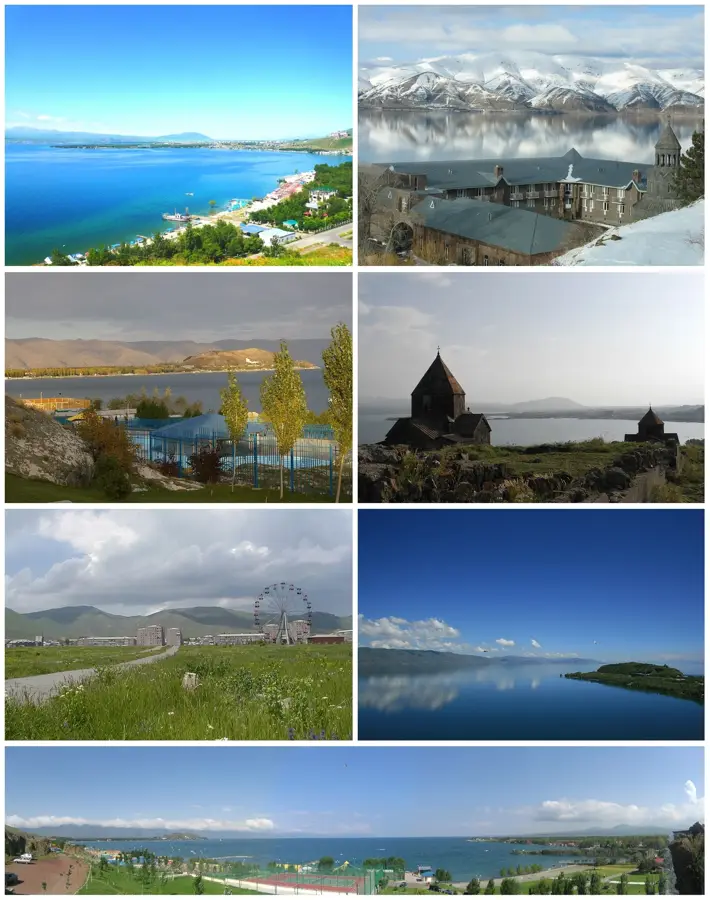
Sights nearby
💡 Tips
- Vardenis is a great gateway to the less touristy southeastern shore of Lake Sevan.
- The town itself is agricultural, so the local produce, especially potatoes and wheat products, are very fresh.
- Nights can be quite chilly due to the proximity to the lake and the elevation, so pack accordingly.
- Buses to Yerevan leave early in the morning; be sure to check the schedule a day in advance.
🍽 Food
Though slightly inland, you can still find fresh lake fish at local taverns.
The region is known for its delicious potatoes, often served roasted or in stews.
Try the salty local cheeses available at the small town market.
🛍 Shopping · 🧘 Quiet spots
The place to go for the freshest local produce and regional specialties.
In late summer and autumn, buy freshly picked apples and pears from local farmers.
Take a short drive towards the pass for wide-open, quiet views of the mountains.
A modest, quiet spot to observe the slow-paced local daily life.
Water temperature…
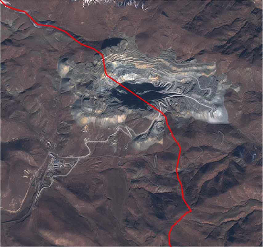
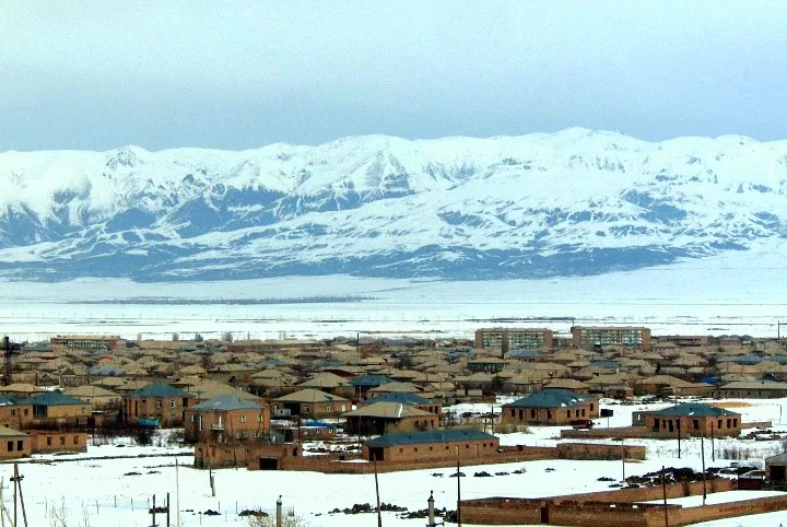
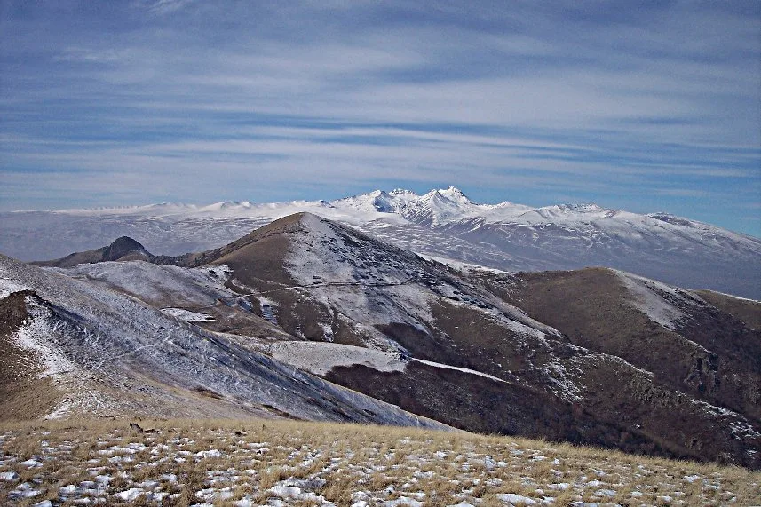
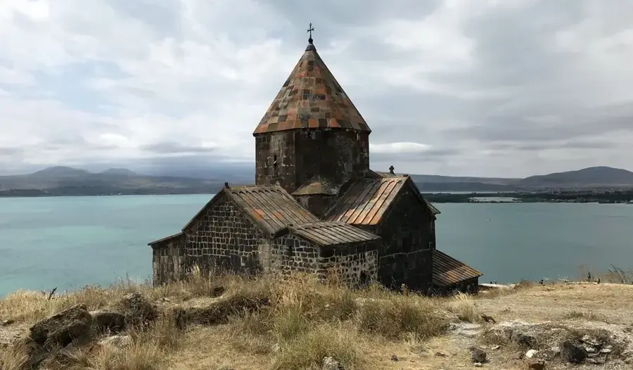
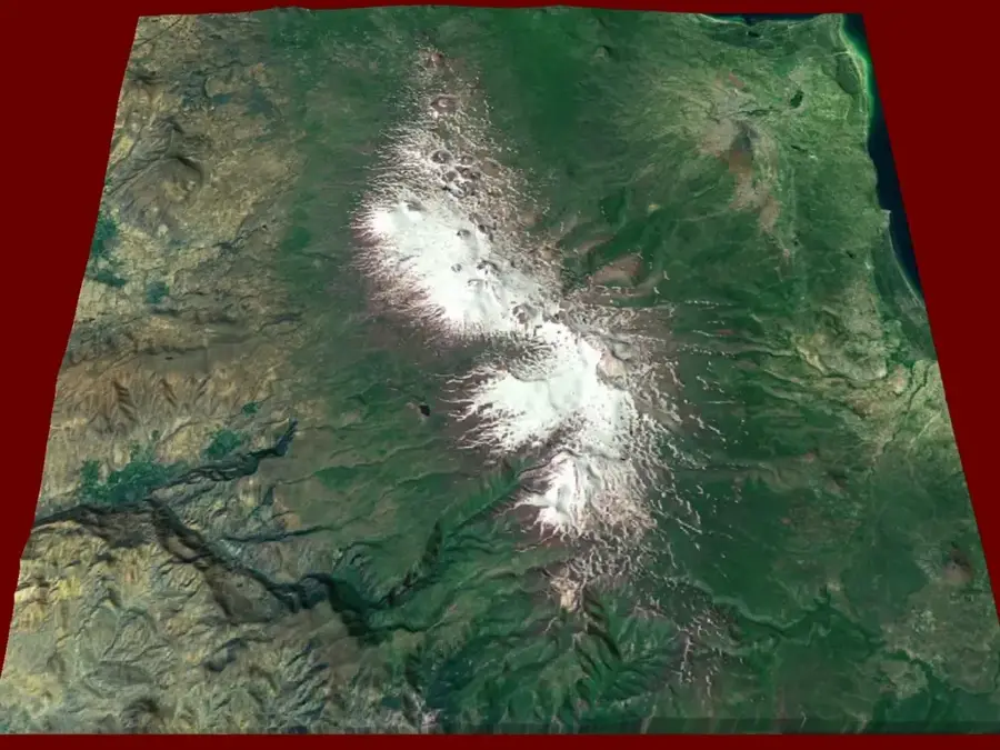
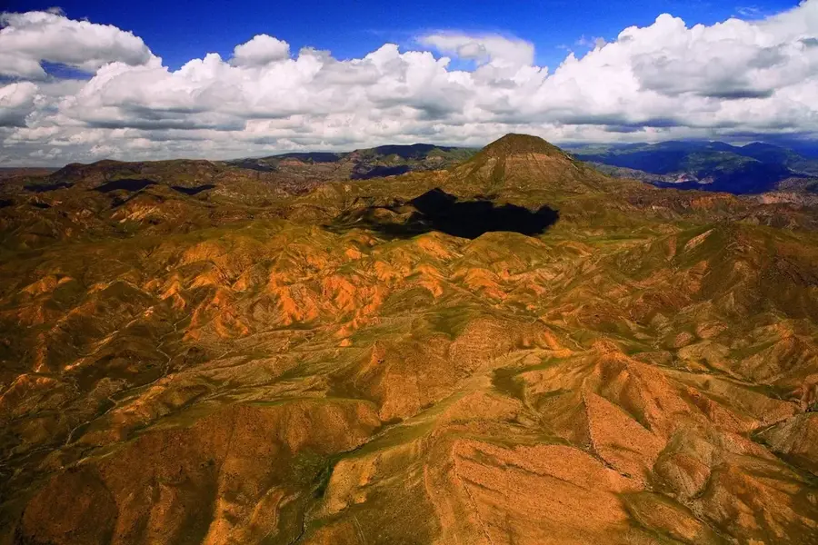
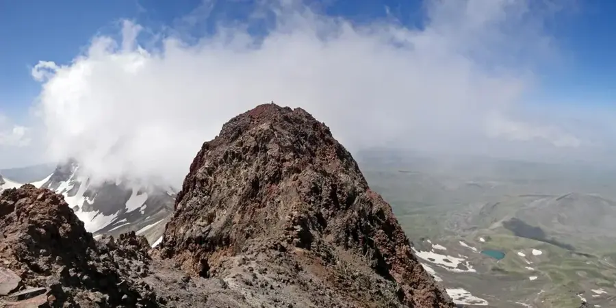
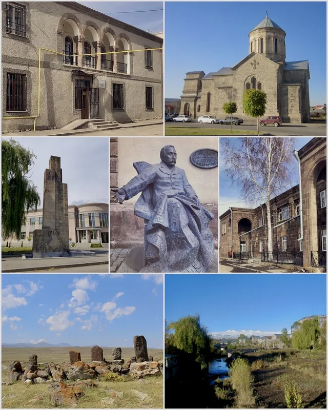
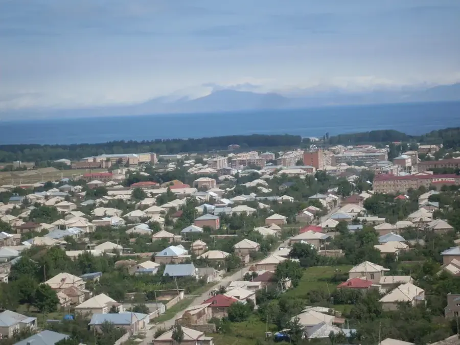
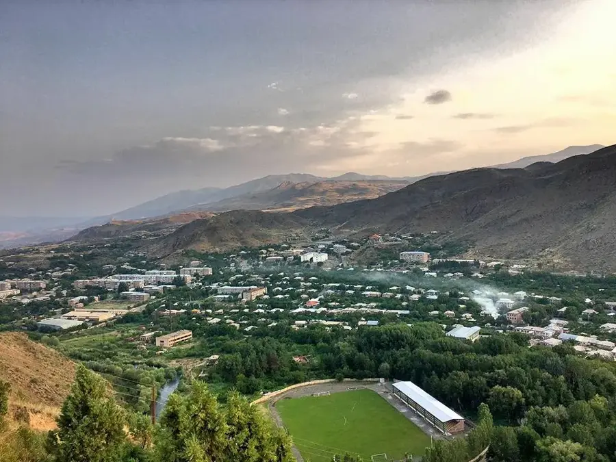
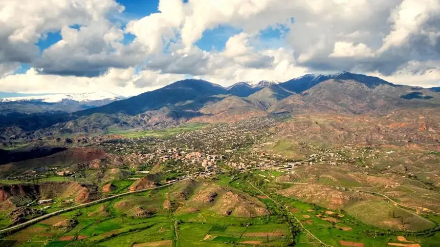
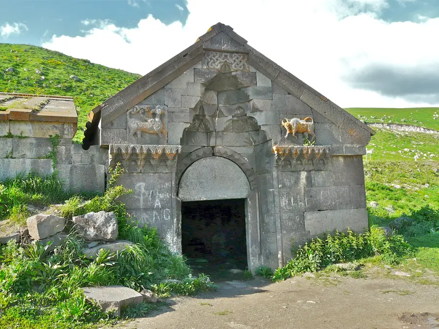
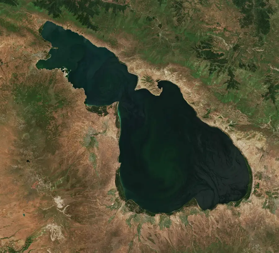
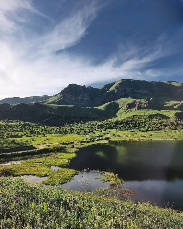
Vardenis lies at the south-eastern tip of Lake Sevan at about 1,910 metres altitude in Gegharkunik Province, around 170 km east of Yerevan, on a harsh upland plateau at the foot of the Vardenis range (up to 3,522 m). The town of about 12,000 inhabitants emerged in the early 20th century on an older settlement site inhabited since the Bronze Age; it was called Basargechar until 1969, when it was renamed Vardenis after the roses that bloom here abundantly ('vardenis' meaning 'town of roses'). In Soviet times Vardenis served as an agricultural centre for potatoes, barley and livestock, and from the 1960s also as a base for gold mining in Sotk, one of the largest gold deposits in Armenia. Strategically placed on the south-eastern shore of Lake Sevan, it is the terminus of the Sevan ring railway and, since the 2010s, the starting point of a new transport corridor towards Nagorno-Karabakh; it is surrounded by old khachkar cemeteries, volcanic ranges and Lake Sevan trout-farming ponds.
- Location: Armenia
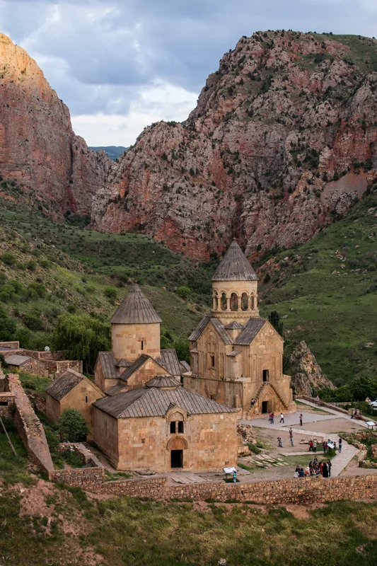
- Top sights: Vardenis Entrance Monument · near Ashot · near Boris
- Nearby: Martuni (47 km)
- Population: ~12.651 (2026)
Best time to visit & climate
The most pleasant time to visit is Jul–Sep.
| Jan | Feb | Mar | Apr | May | Jun | Jul | Aug | Sep | Oct | Nov | Dec | |
|---|---|---|---|---|---|---|---|---|---|---|---|---|
| Avg °C | -8 | -6 | -1 | 4 | 9 | 14 | 18 | 18 | 14 | 7 | 0 | -6 |
| Rain mm | 15 | 15 | 29 | 39 | 53 | 41 | 22 | 17 | 21 | 33 | 19 | 14 |
Geography
Facts
- Founded in the year 1830.
- Located at an altitude of 2,003 meters.
- Significant center for gold mining.
- Population is around 12,500 people.
- Situated in the Gegharkunik Province.
- Formerly known as Vasakashen and later Basargechar.
Explore nearby
Notable places around
Route planner — Car & Motorhome
Where do you start? We build the route here, with stops and country notes along the way.
© OpenStreetMap contributors · OpenRouteService
Sights in the town Vardenis (3)
Frequently asked questions
How many days do you need for Vardenis?
When is the best time to visit Vardenis?
How do you get to Vardenis?
What should you try there?
Is Vardenis family-friendly?
Vardenis: where is it located?
Vardenis: what is there to see?
Vardenis: when is the best time to visit?
Vardenis: why is it worth visiting?

Nearby cities
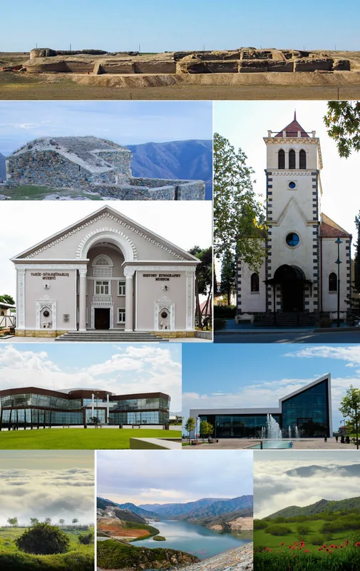
History & landmarks
Nature
More places