Plizio Visual Lab
Hrazdan
ℹ️Practical info — Hrazdan
▾
🌤 Weather — 5 days
📍 Nearby
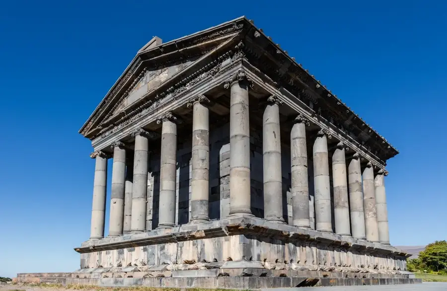
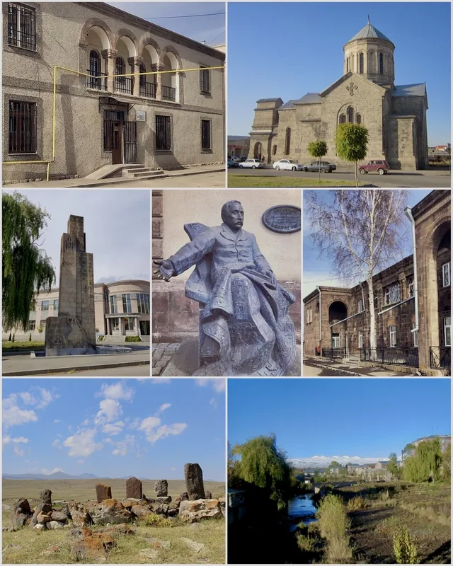
Sights nearby
💡 Tips
- The city is divided into three distinct parts (Northern, Central, Southern), so map out your destination clearly.
- Expect mostly Soviet-era industrial architecture, but beautifully surrounded by dramatic mountain nature.
- Hrazdan serves as a practical and budget-friendly transit point to the nearby Tsaghkadzor ski resort.
- The local bus network is very basic; taxis are cheap and significantly more reliable.
🍽 Food
Taverns along the banks of the Hrazdan River serve fresh fish sourced from local river farms.
Stop at the rustic barbecue stands along the main roads for a classic Armenian meat skewer.
Buy the traditional Armenian flatbread warm from the oven directly at small town bakeries.
🛍 Shopping · 🧘 Quiet spots
The central market is the best place to pick up seasonal fresh fruits and vegetables.
Locals sell dried wild herbs gathered from the Kotayk mountains, which are great for tea.
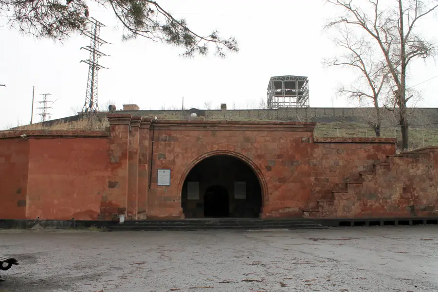
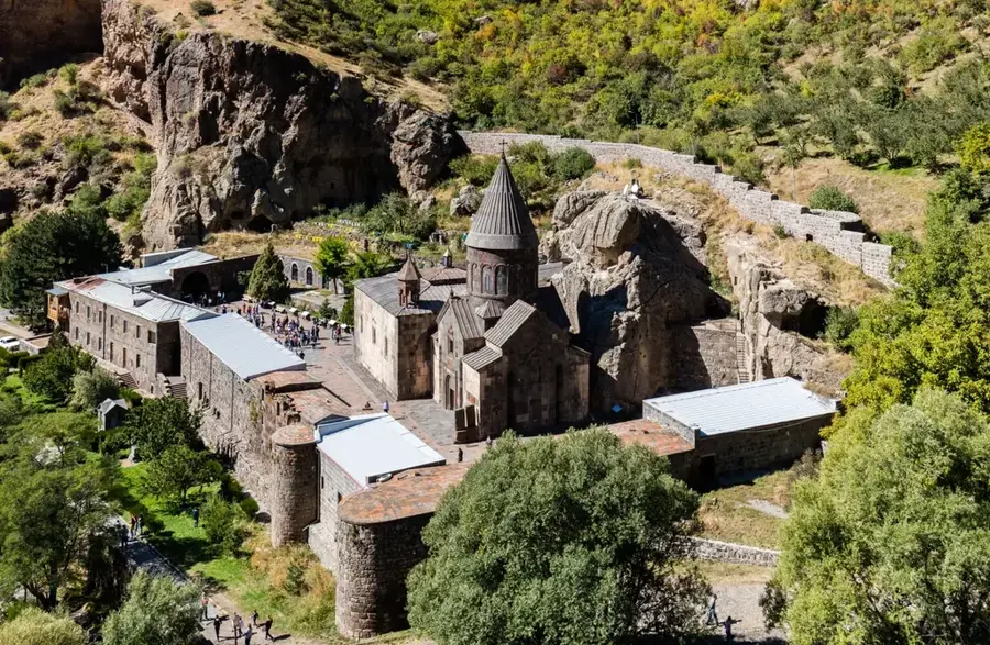
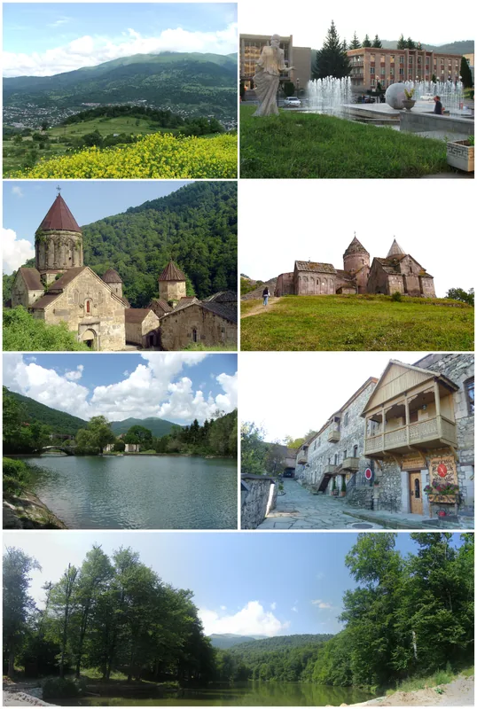
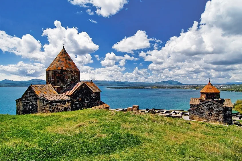
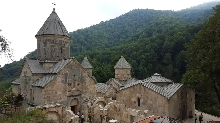
A quiet, historic monastic complex on the outskirts of the city with beautiful stonework.
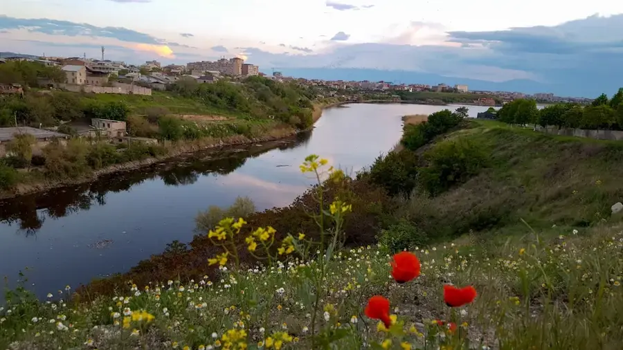
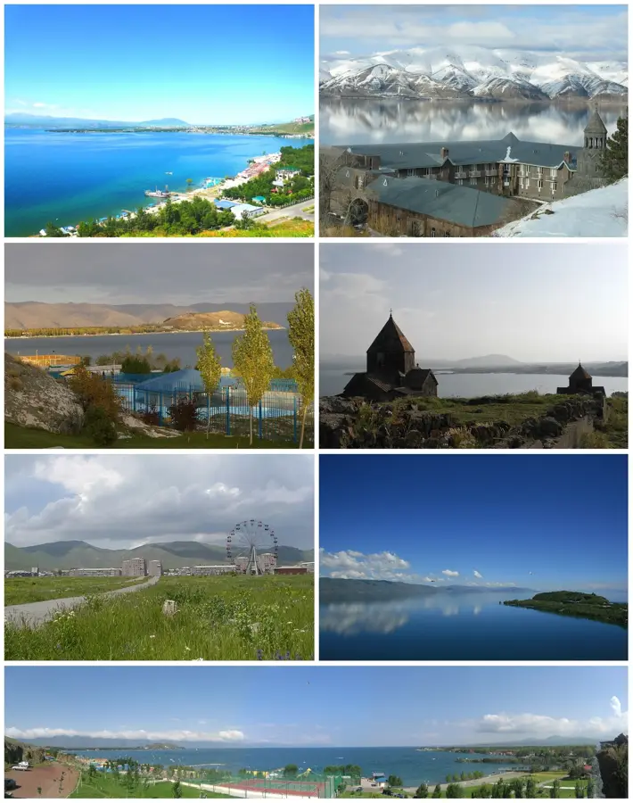
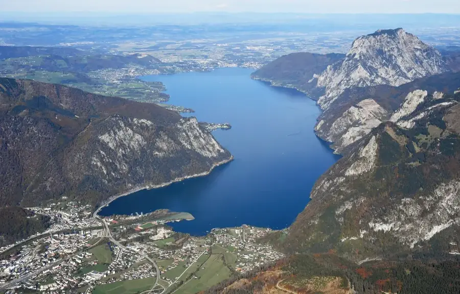
A peaceful body of water nearby, surrounded by nature and convenient for a quiet afternoon.
Water temperature…
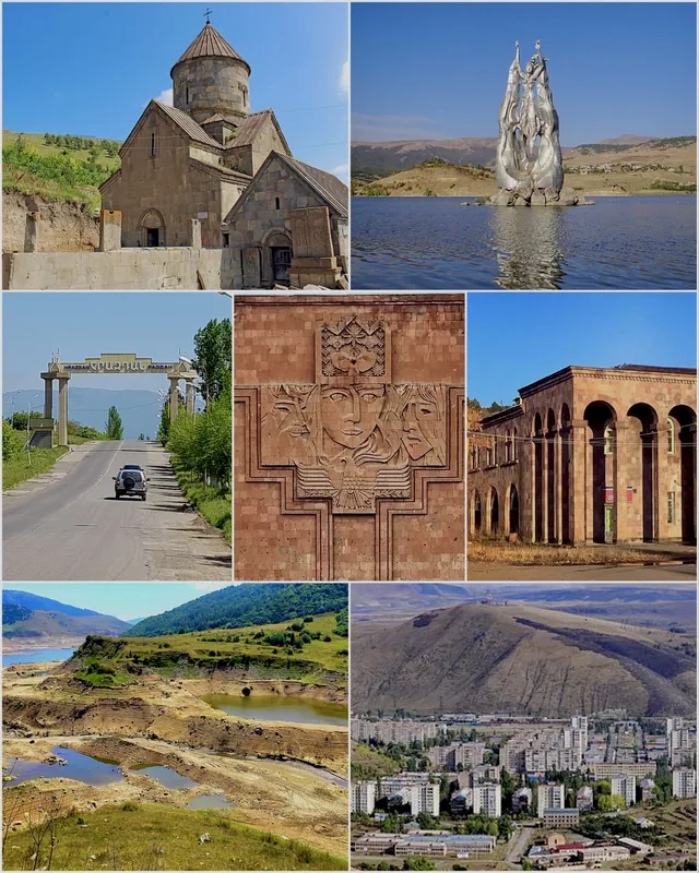
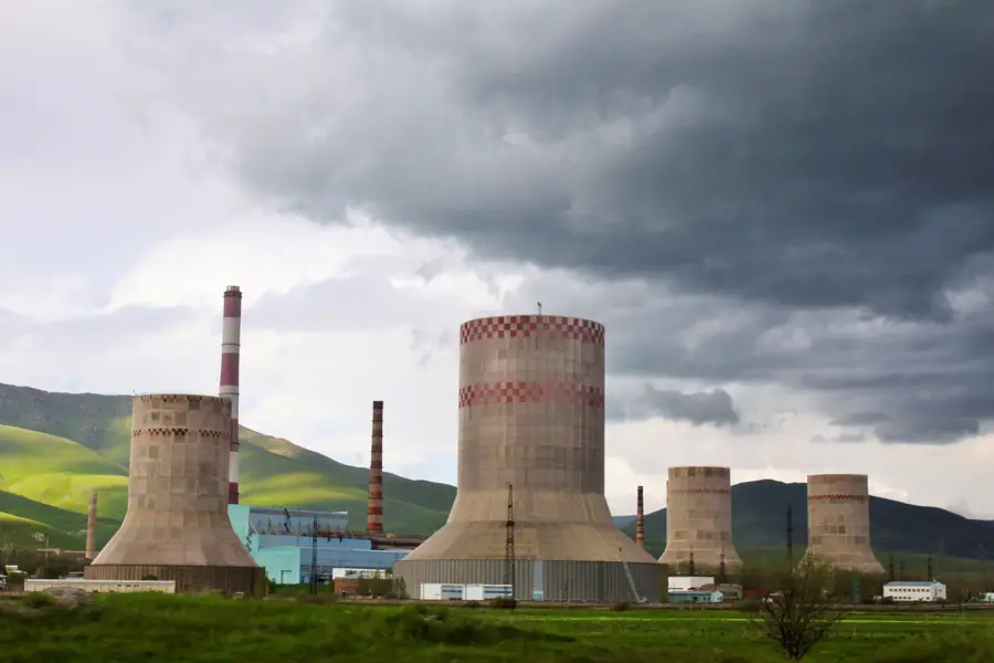
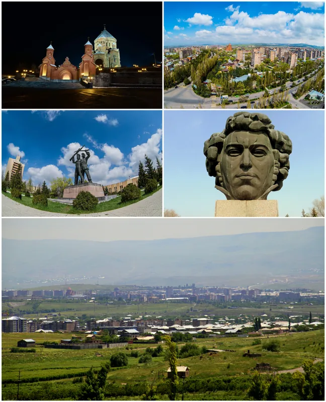
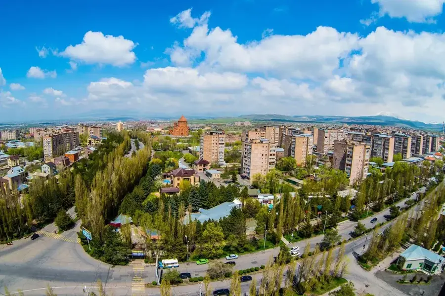
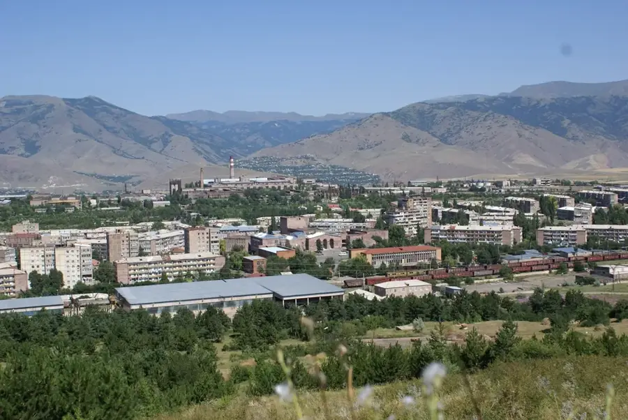
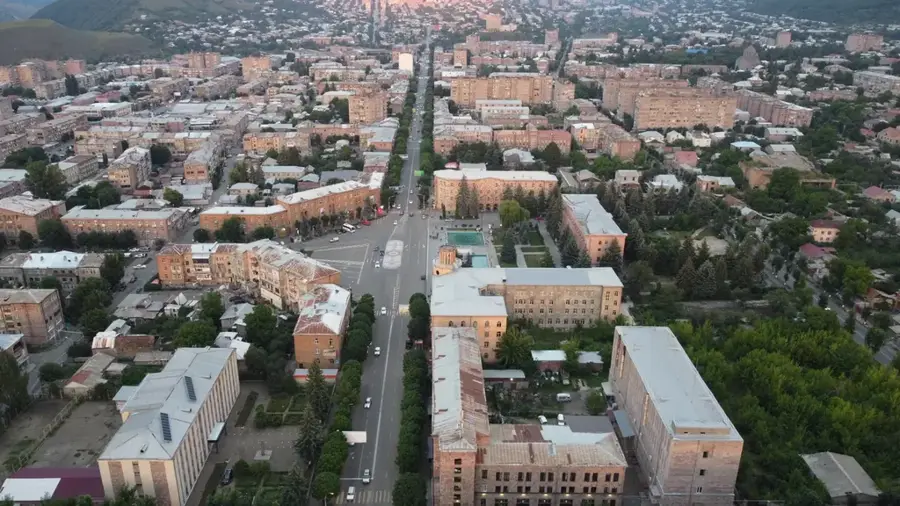
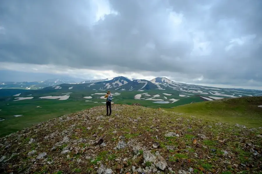
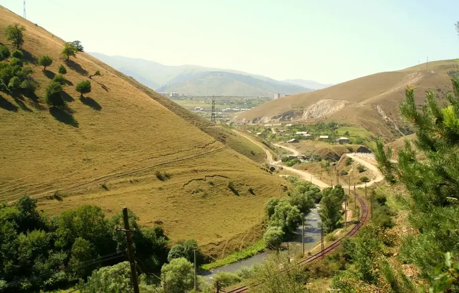
Hrazdan sits about 50 km north-east of Yerevan at roughly 1,750 metres altitude in the mountainous Kotayk Province and, with around 41,000 inhabitants, is one of northern Armenia's leading industrial cities. The town was created in 1959 by merging several mountain villages and the workers' settlement around the large Hrazdan thermal power plant and cement works; it takes its name from the Hrazdan River, which tumbles here from Lake Sevan towards Yerevan. In Soviet times Hrazdan was part of the energy backbone of Transcaucasia: its thermal plant supplied much of the Armenian SSR, and the town hosted several machinery and food-processing factories. The energy crisis of the 1990s and the temporary shutdown of the Metsamor nuclear plant only increased its strategic role. Today Hrazdan is shaped by Soviet architecture, ski tourism on nearby Mount Teghenis, the Hrazdan reservoir and Bjni fortress; it also serves as the capital of Kotayk Province and a railway junction on the line to Sevan.
- Location: Armenia
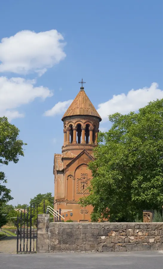
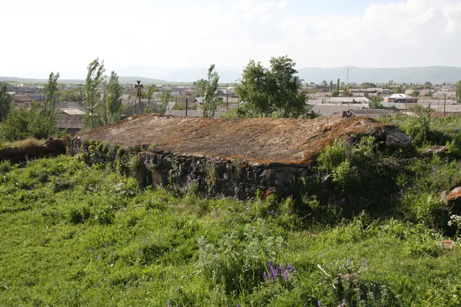
- Top sights: Aghbyurak Church of Hrazdan · Hin showka
- Nearby: Charentsavan (15 km)
- Population: ~49.500 (2026)
Best time to visit & climate
The most pleasant time to visit is Jul–Sep.
| Jan | Feb | Mar | Apr | May | Jun | Jul | Aug | Sep | Oct | Nov | Dec | |
|---|---|---|---|---|---|---|---|---|---|---|---|---|
| Avg °C | -7 | -5 | 1 | 5 | 11 | 15 | 18 | 18 | 14 | 8 | 1 | -5 |
| Rain mm | 21 | 18 | 29 | 50 | 62 | 52 | 31 | 26 | 23 | 38 | 21 | 19 |
Geography
Facts
- The city was formed in 1959 by merging several villages.
- Hrazdan is located at an elevation of approximately 1,700 meters.
- The Hrazdan Thermal Power Plant provides a huge portion of Armenia's electricity.
- The 13th-century Makravank Monastery is located within the city limits.
- The settlement was previously known as Akhtala.
- Hrazdan is connected by rail to both Yerevan and Lake Sevan.
Explore nearby
Notable places around
Route planner — Car & Motorhome
Where do you start? We build the route here, with stops and country notes along the way.
© OpenStreetMap contributors · OpenRouteService
Sights in the town Hrazdan (2)
Frequently asked questions
How many days do you need for Hrasdan?
When is the best time to visit Hrasdan?
How do you get to Hrasdan?
What should you try there?
Is Hrasdan family-friendly?
Hrazdan: where is it located?
Hrazdan: what is there to see?
Hrazdan: when is the best time to visit?
Hrazdan: why is it worth visiting?

Nearby cities
History & landmarks
Nature

More places