Plizio Visual Lab
Vardenis Mountains
Weather…
Water temperature…
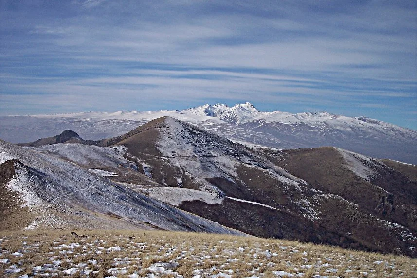
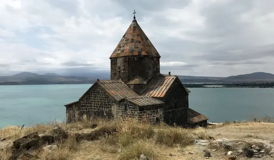
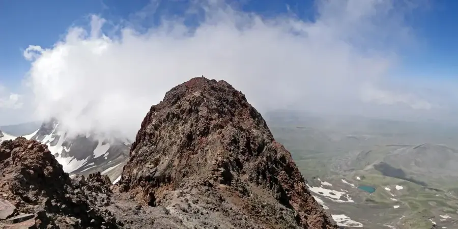
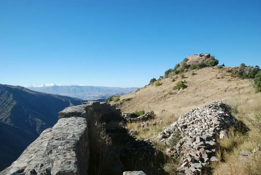
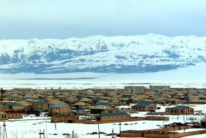
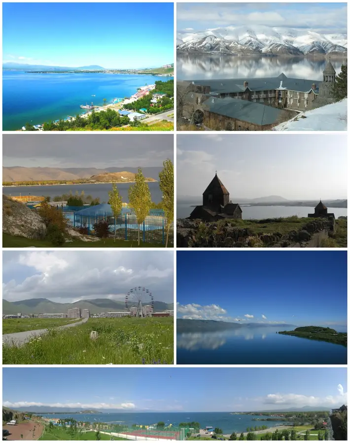
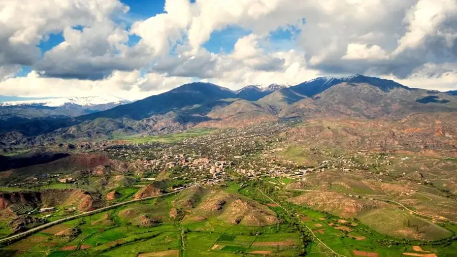
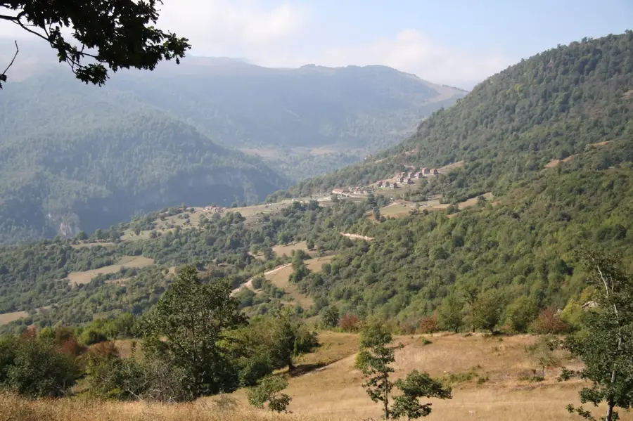
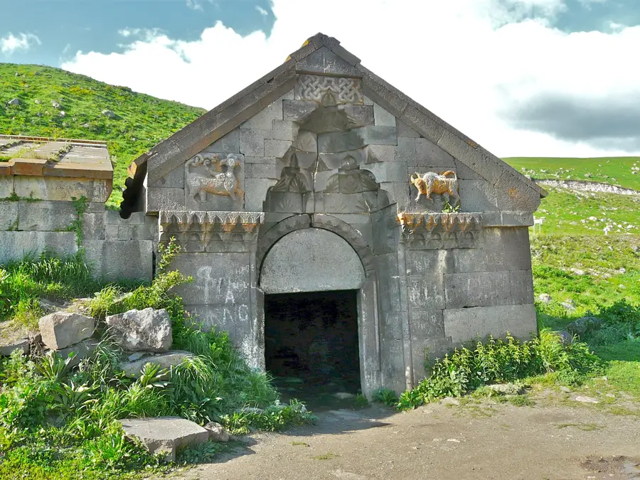
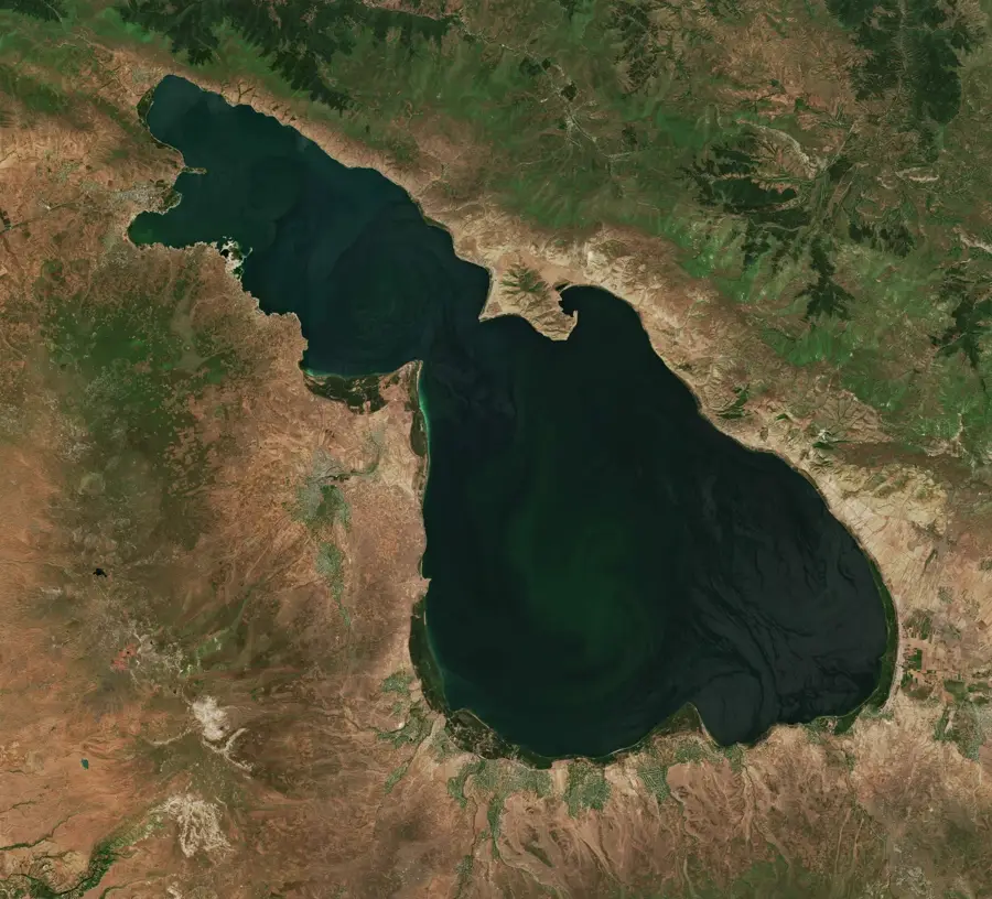
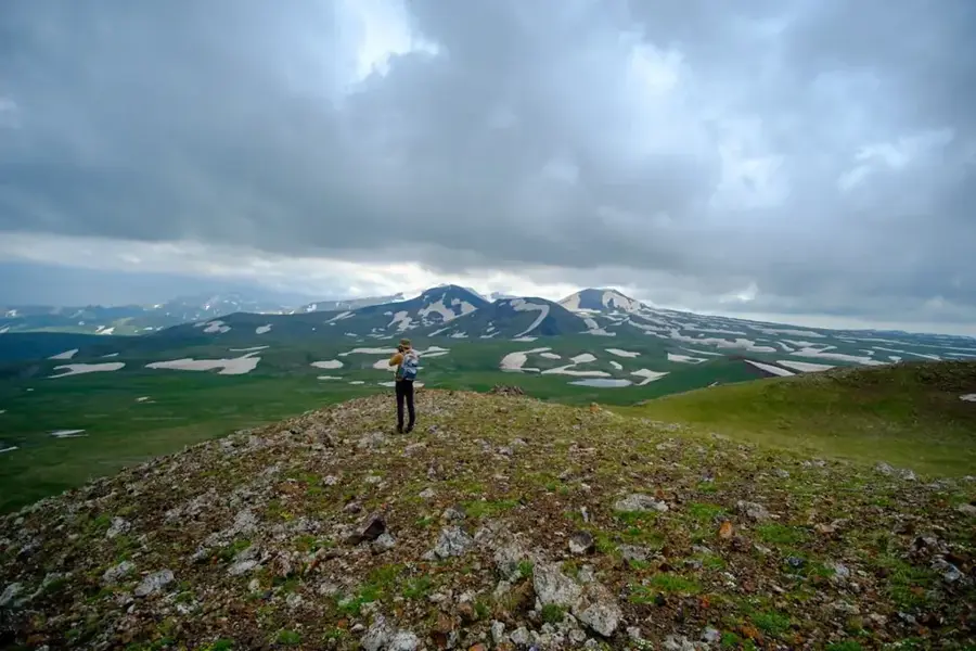
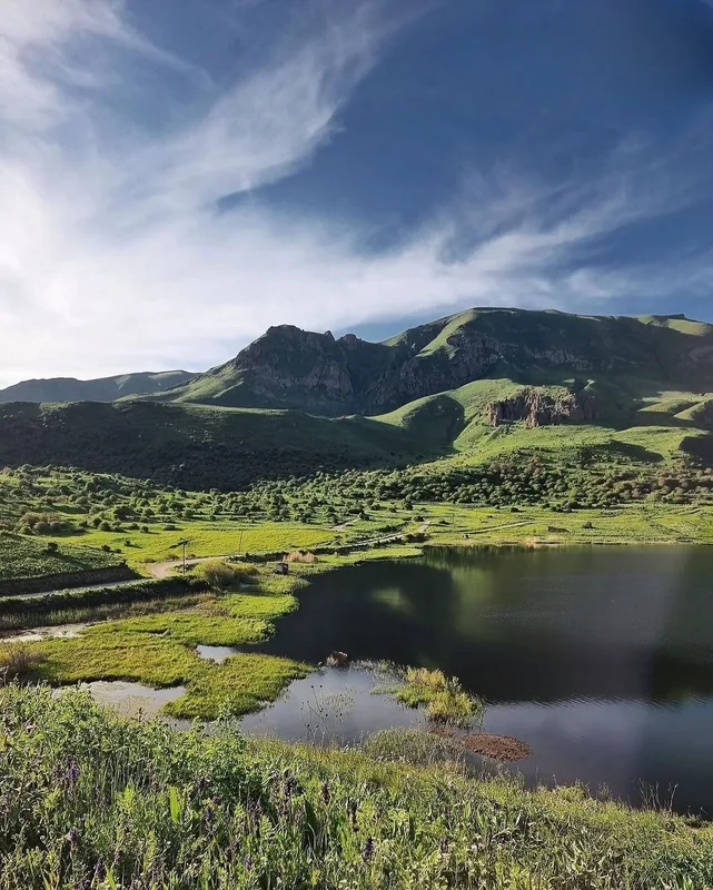
The Vardenis Mountains are situated in the southern part of the Sevan basin, forming a natural boundary between the Gegharkunik and Vayots Dzor provinces. The range extends for approximately 60 kilometers and is of volcanic origin, primarily composed of Pleistocene basalt and andesite formations. Its highest point is Mount Vardenis, reaching an elevation of 3522 meters. The landscape is characterized by gentle slopes and vast volcanic plateaus dotted with numerous small alpine lakes. The range plays a critical role in Armenia's hydrology, serving as the source for the Arpa and Yeghegis rivers. The Vardenis Pass, located at an elevation of 2410 meters, is a historically vital route connecting the northern and southern regions of the country. Ancient petroglyphs and remains of medieval caravanserais are found in the area, highlighting its significance as a branch of the historic Silk Road.
- Location: Armenia
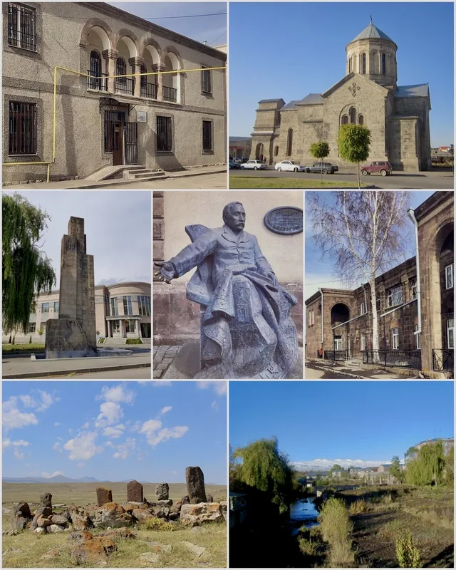
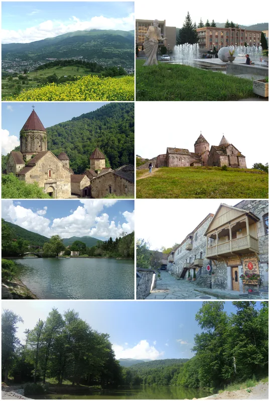
- Top sights: Astkhadzor · Tsrtut · Rusa I inscription
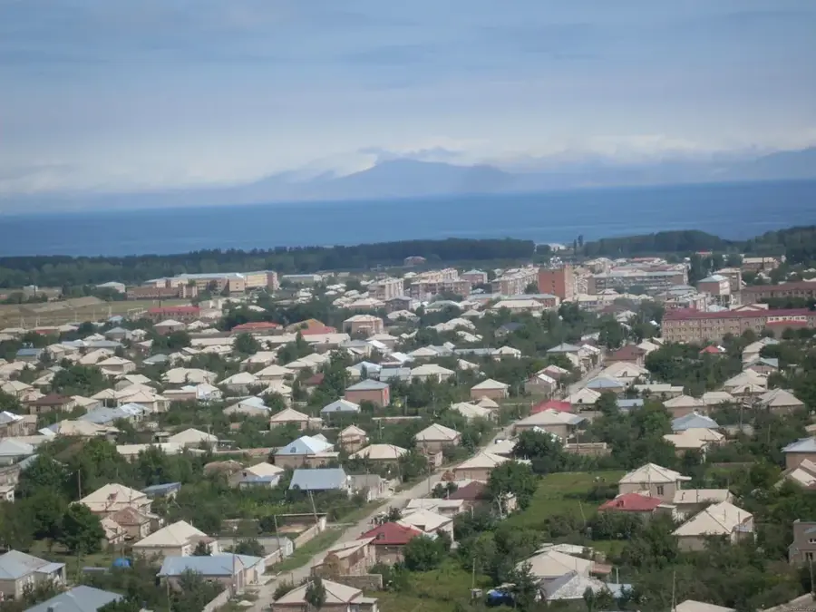
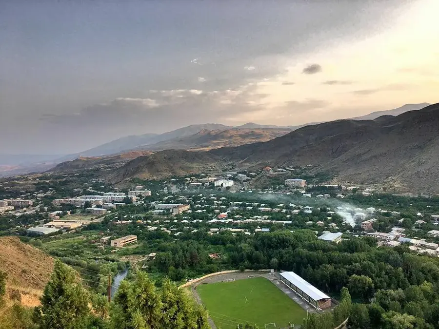
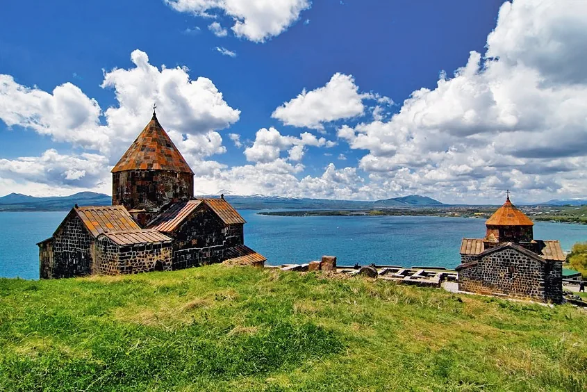
- Nearby: Martuni (11 km)
Best time to visit & climate
The most pleasant time to visit is Jul–Sep.
| Jan | Feb | Mar | Apr | May | Jun | Jul | Aug | Sep | Oct | Nov | Dec | |
|---|---|---|---|---|---|---|---|---|---|---|---|---|
| Avg °C | -8 | -6 | -1 | 4 | 9 | 14 | 18 | 18 | 14 | 7 | 0 | -6 |
| Rain mm | 15 | 15 | 29 | 39 | 53 | 41 | 22 | 17 | 21 | 33 | 19 | 14 |
📋 Practical info
Geography
Facts
- Highest elevation is Mount Vardenis (3522 m).
- The mountain range spans about 60 km.
- Volcanic origin consisting of basalt and andesite.
- Vardenis Pass is located at 2410 m elevation.
- Source of the major Arpa and Yeghegis rivers.
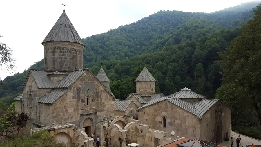
- Features historic Silk Road ruins and petroglyphs.
Explore nearby
Notable places around
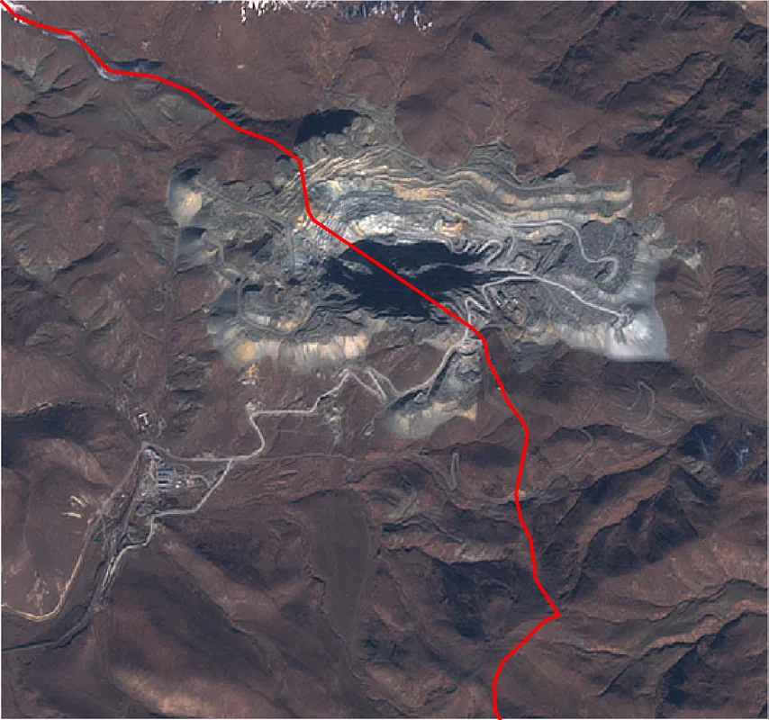
Route planner — Car & Motorhome
Where do you start? We build the route here, with stops and country notes along the way.
© OpenStreetMap contributors · OpenRouteService
Sights in the town Vardenis Mountains (6)
Sights nearby
Frequently asked questions
What makes the Vardenis Mountains interesting?
When is the best time for hiking?
How difficult are the routes?
Do you need special gear?
Is the range good for nature photography?
Vardenis Mountains: where is it located?
Vardenis Mountains: what is there to see?
Vardenis Mountains: when is the best time to visit?
Vardenis Mountains: why is it worth visiting?

Nearby cities

History & landmarks
Nature
More places