Plizio Visual Lab
Charentsavan
ℹ️Practical info — Charentsavan
▾
🌤 Weather — 5 days
📍 Nearby
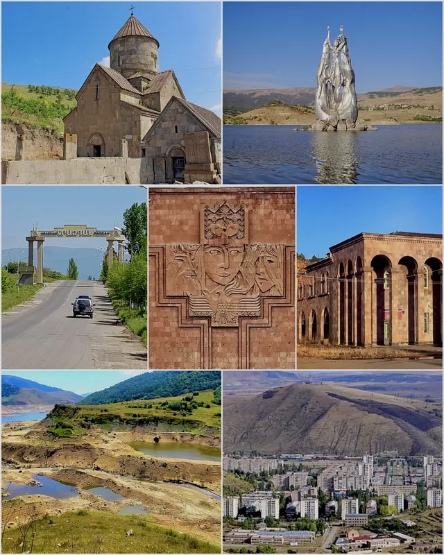
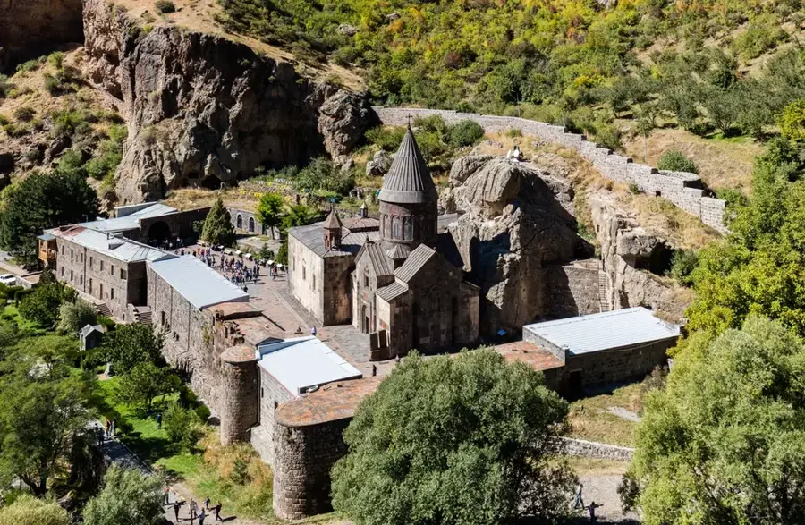
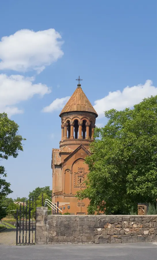
Sights nearby
💡 Tips
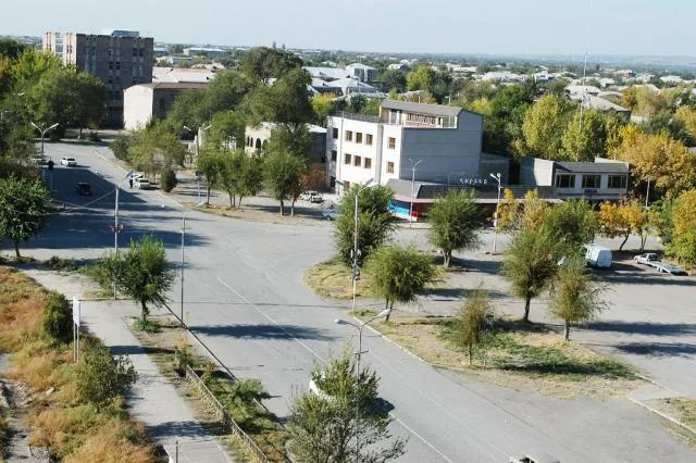
- The city layout is a textbook example of Soviet urban planning, making it easy to navigate its wide, straight avenues.
- Charentsavan is very close to the Bjni fortress and hot springs, making it a budget-friendly base for exploring the Kotayk region.
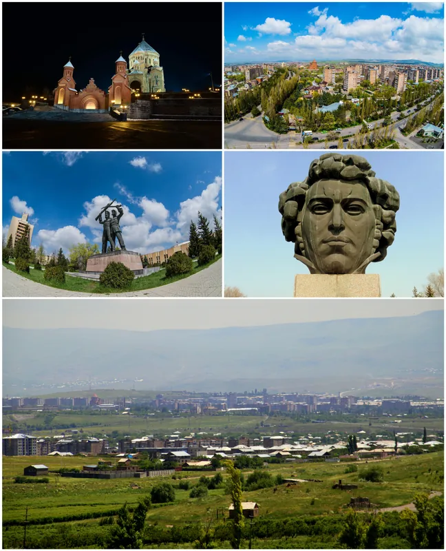
- Look out for the central statue of Yeghishe Charents, the famous Armenian poet whom the city is named after.
- Minibuses to Yerevan pass through frequently, but schedules are informal, so it's best to ask locals for the current timings.
🍽 Food
Armenian meat pizzas provide a quick, cheap, and very tasty lunch option at central bakeries.
Though from the neighboring village, it's the staple sparkling table water served in every local cafe.
Grab a quick, hearty meat wrap from the busy fast-food stands situated near the main bus stop area.
🛍 Shopping · 🧘 Quiet spots
A good spot for picking up everyday provisions, fresh local greens, and regional spices.
Occasionally, you might find interesting vintage pins or old books in small local antique corners.
The main park features tree-lined alleys and a distinctly calm atmosphere typical of post-Soviet towns.
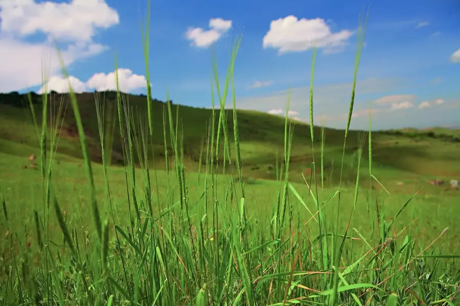
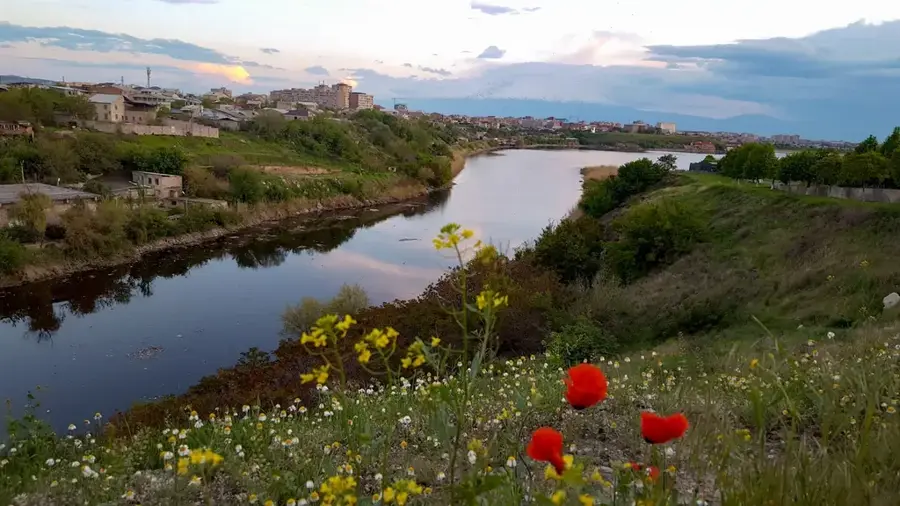
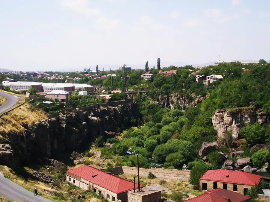
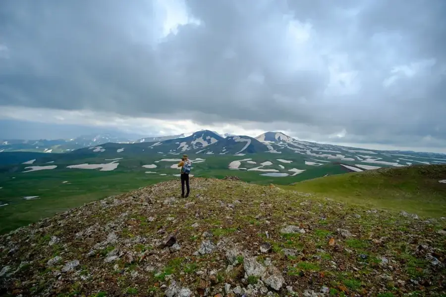
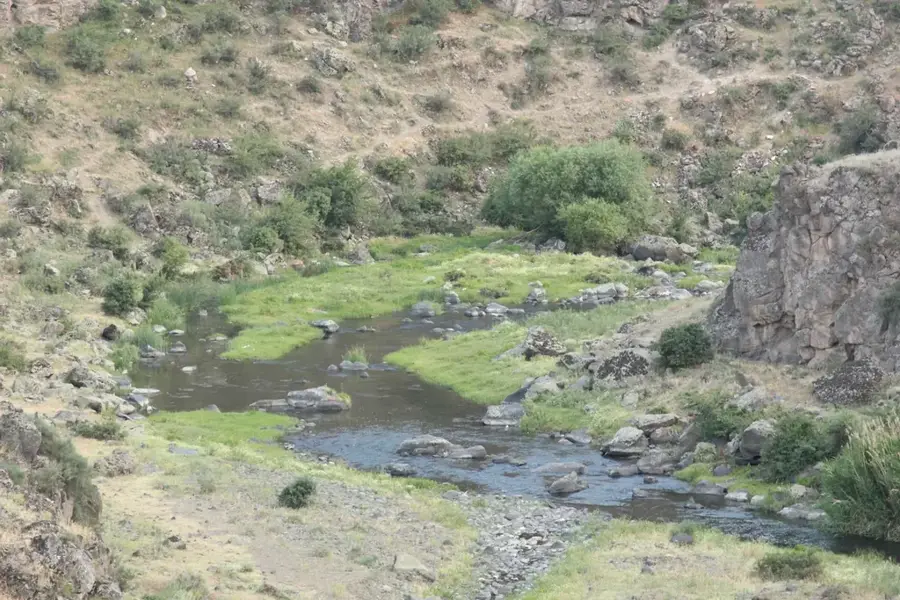
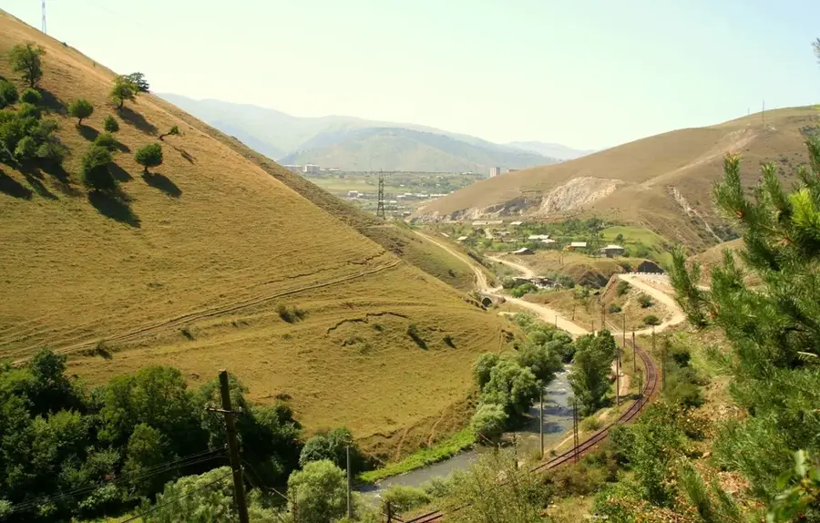
Take a walk just outside the city limits for rolling landscapes and broad views over the Hrazdan River valley.
Water temperature…
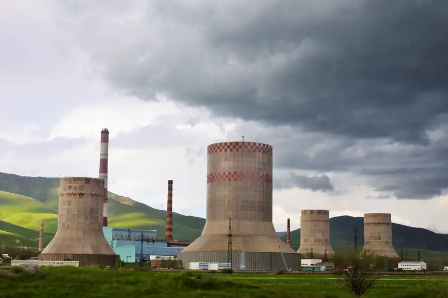
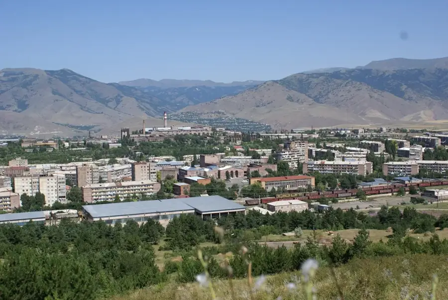
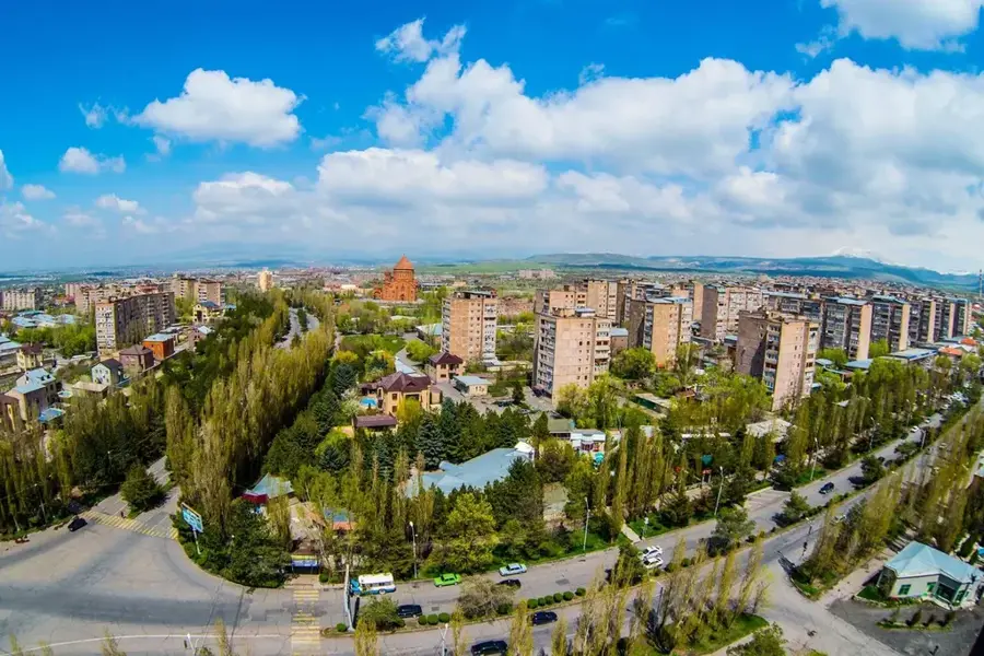
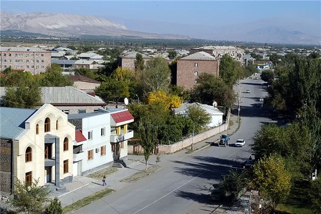
Charentsavan was founded in 1947 in Kotayk Province at around 1,660 metres altitude as a socialist industrial town on the Hrazdan River, originally called Lusavan ('City of Light'). It grew up around a hydroelectric station of the Hrazdan cascade and several machinery and tool plants; in the 1970s it was renamed Charentsavan in honour of the great Armenian poet Yeghishe Charents (1897-1937). With its current 21,000 inhabitants Charentsavan remains a compact, classic Soviet town of tuff-clad apartment blocks arranged in microdistricts, with a Palace of Pioneers, a House of Culture and a striking Charents memorial. After 1991 most of its large factories were drastically scaled down, but in recent years the town has bounced back thanks to food and pharmaceutical industries, small IT hubs and its proximity to the Tsakhkadzor ski resort (12 km away), Kecharis monastery and the Hrazdan reservoir.
- Location: Armenia
- Nearby: Abovyan (11 km)
- Population: ~24.101 (2026)
Best time to visit & climate
The most pleasant time to visit is Jul–Sep.
| Jan | Feb | Mar | Apr | May | Jun | Jul | Aug | Sep | Oct | Nov | Dec | |
|---|---|---|---|---|---|---|---|---|---|---|---|---|
| Avg °C | -8 | -6 | -1 | 4 | 9 | 15 | 18 | 18 | 14 | 7 | 0 | -5 |
| Rain mm | 24 | 19 | 31 | 53 | 68 | 56 | 37 | 30 | 23 | 38 | 23 | 22 |
Geography
Facts
- The city was established in 1947 under the name Lusavan.
- It is situated at an elevation of approximately 1,600 meters.
- A massive monument to Yeghishe Charents was erected in the city in 1980.
- Charentsavan was a leading center for machine tool manufacturing.
- The city is located on the main highway connecting Yerevan and Sevan.
- It was officially granted city status in 1958.
Explore nearby
Notable places around
Route planner — Car & Motorhome
Where do you start? We build the route here, with stops and country notes along the way.
© OpenStreetMap contributors · OpenRouteService
Sights in the town Charentsavan (1)
Frequently asked questions
How many days do you need for Charentsavan?
When is the best time to visit Charentsavan?
How do you get to Charentsavan?
What should you try there?
Is Charentsavan family-friendly?
Charentsavan: where is it located?
Charentsavan: when is the best time to visit?
Charentsavan: why is it worth visiting?

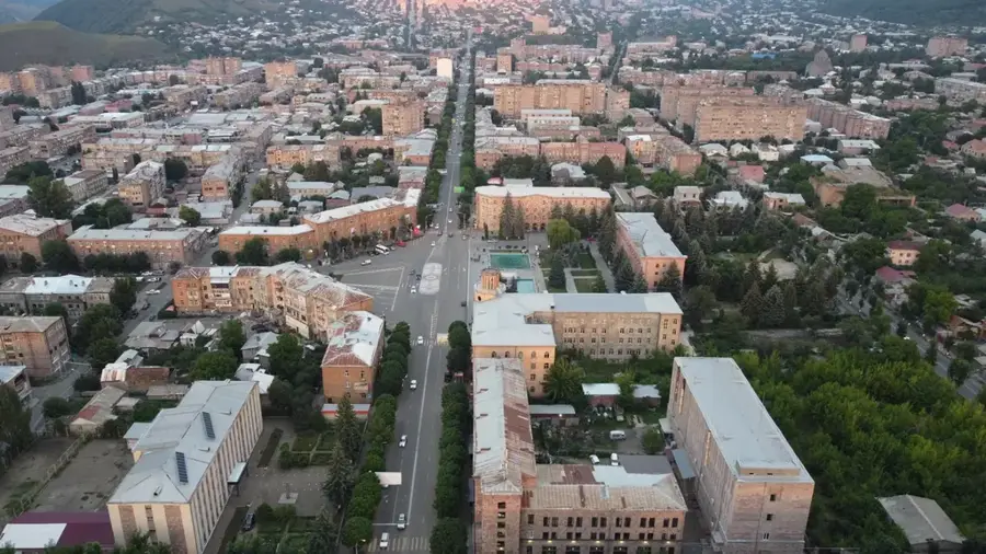
Nearby cities
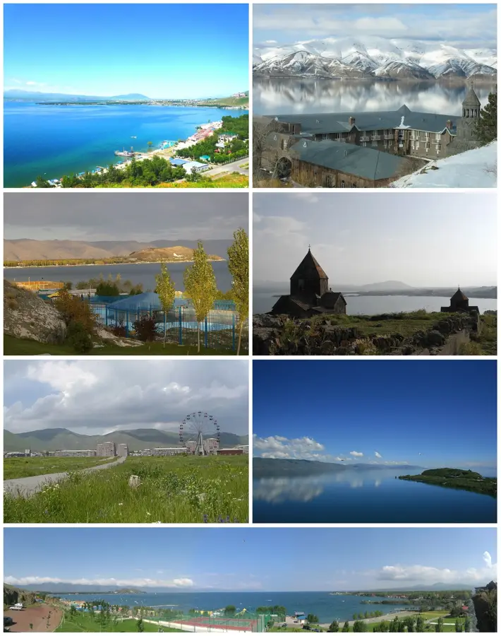
Nature

More places