Plizio Visual Lab
Ararat
ℹ️Practical info — Ararat
▾
🌤 Weather — 5 days
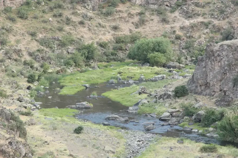
📍 Nearby
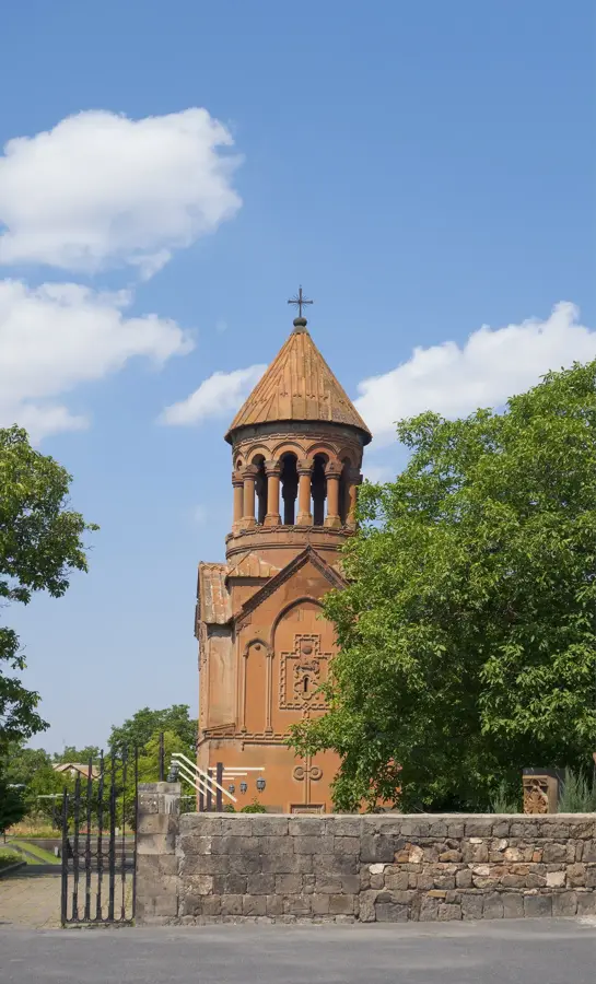
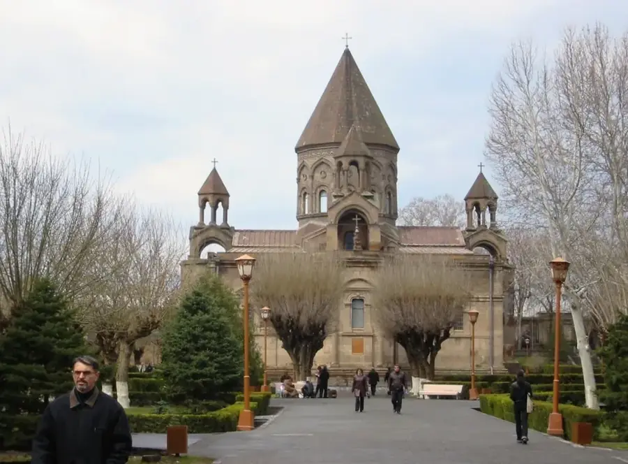
Sights nearby
💡 Tips
- The best views of Mount Ararat from the surrounding plain are early in the morning before the heat haze sets in.
- Heavy cement industry makes the town itself quite dusty; it's best treated as a quick stop rather than a long stay.
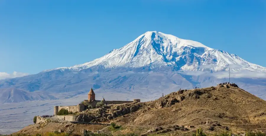
- It serves as a convenient and practical transit point when visiting the famous Khor Virap monastery nearby.
- Marshrutkas run frequently along the main highway to and from Yerevan, making transit very straightforward.
🍽 Food
Grape leaves stuffed with seasoned meat, commonly served at the traditional diners catering to highway travelers.
In summer, buy incredibly sweet fresh apricots and peaches right from street vendors in the plain.
Classic Armenian barbecued meat skewers, a hearty staple easily found at local roadside taverns.
🛍 Shopping · 🧘 Quiet spots
The surrounding plain is famous for its grapes. Browse local liquor shops for regional wine bottles.
Look for these traditional walnut and grape-juice strings at the small city market.
Walk to the edge of town where endless orchards and vineyards provide a quiet break from the industrial dust.
While a short drive away, the open fields surrounding the monastery offer the most serene views of the mountain.
Water temperature…
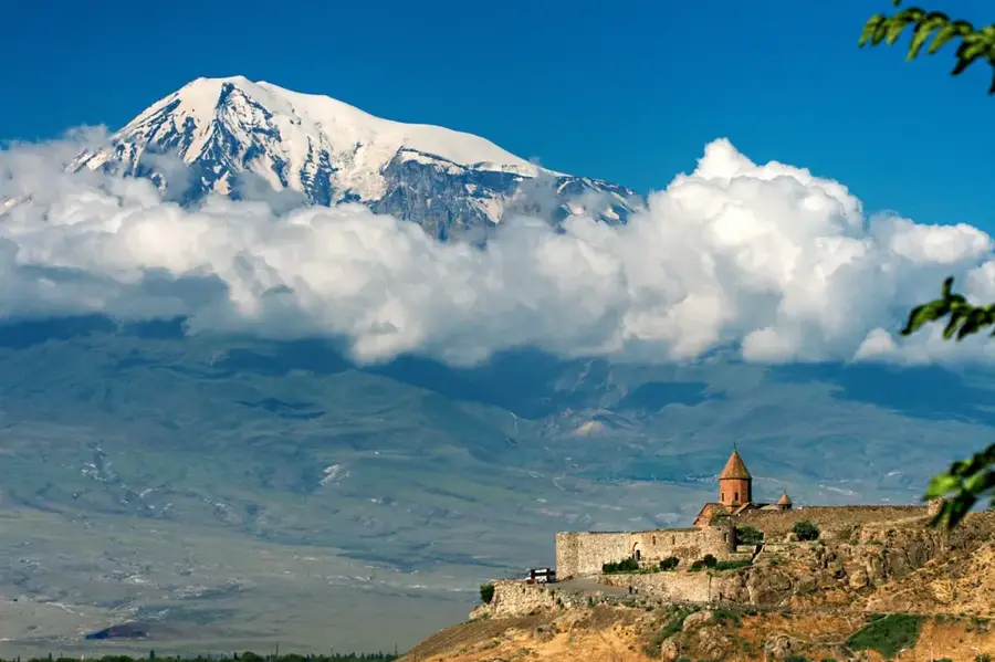
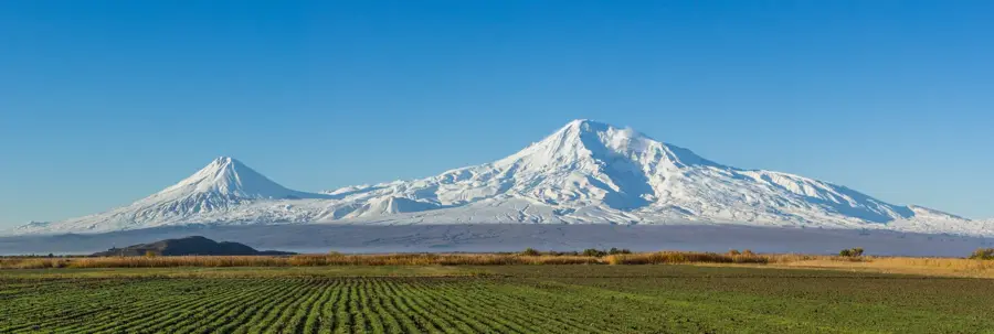
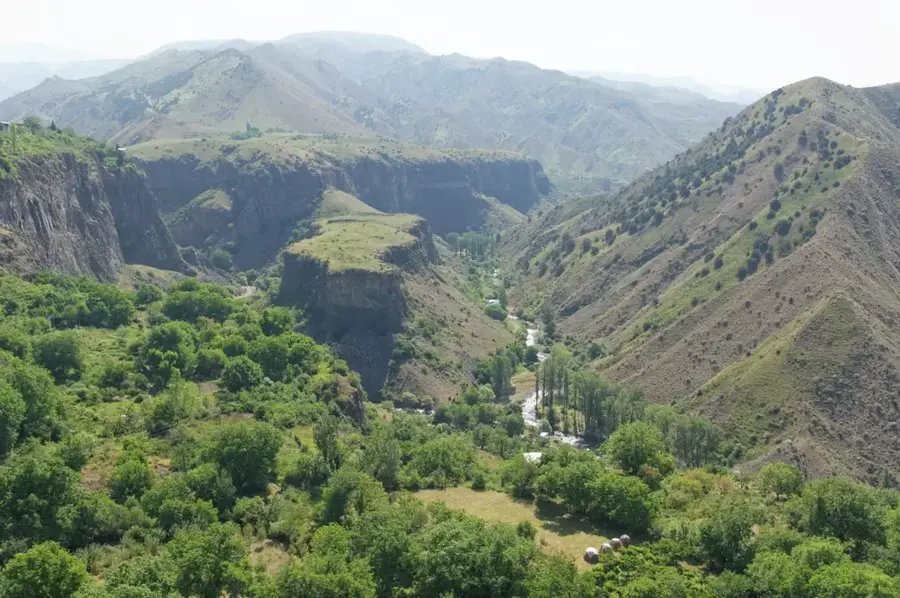
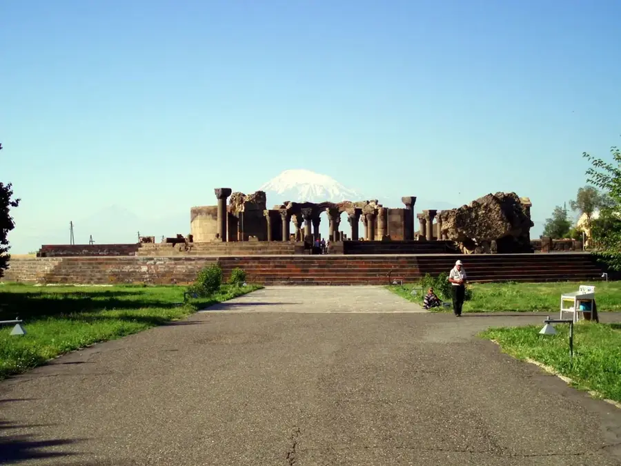
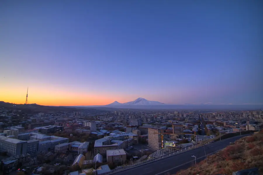
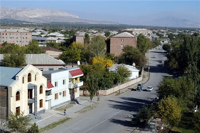
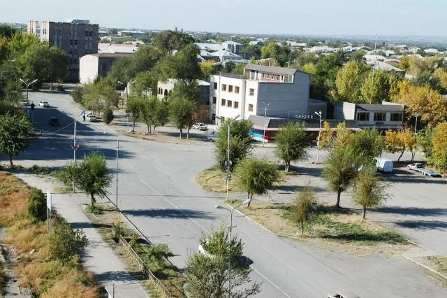
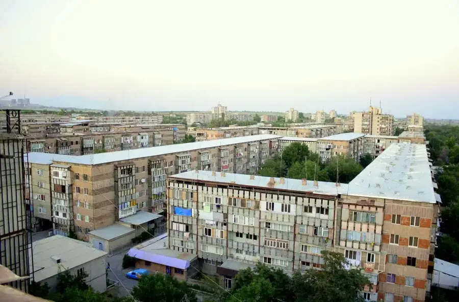
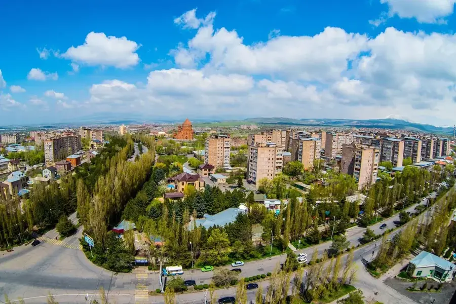
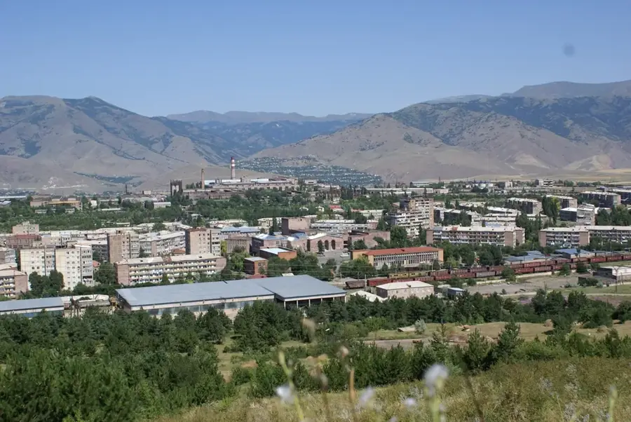
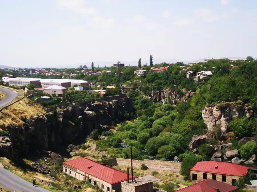
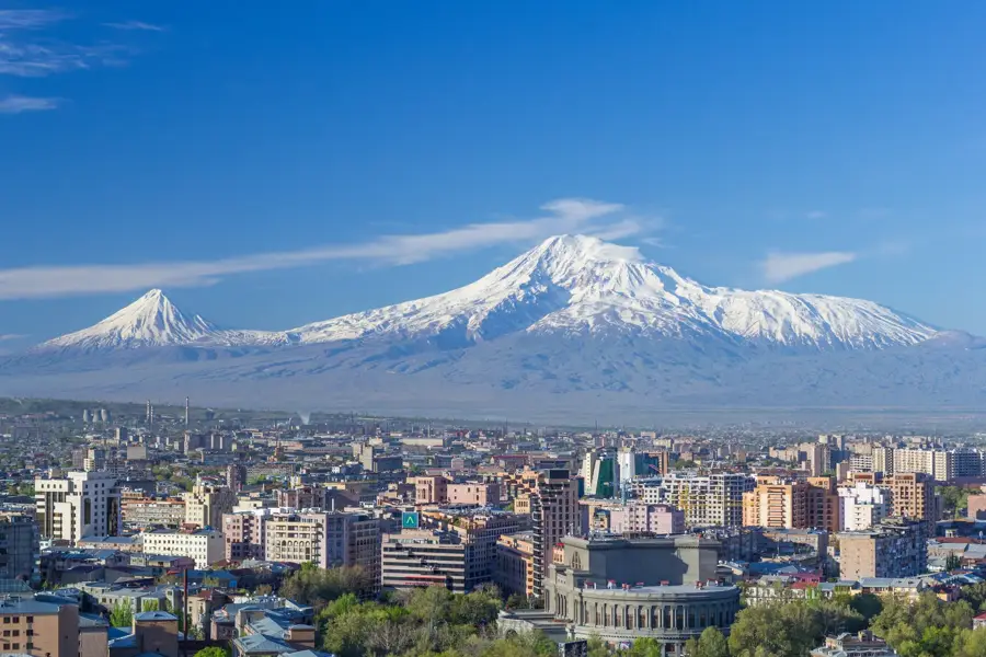
The town of Ararat lies about 50 km south of Yerevan on the Ararat plain at roughly 825 metres altitude, sharing its name with the famous twin-peaked volcano just across the Turkish border. It was founded in 1939 as an industrial settlement around a large cement works and received town status in 1947; from the 1960s a major gold-extraction plant was added, processing ore from the mountains of Sotk and Ararat. In Soviet times most of its 22,000-odd inhabitants depended directly or indirectly on the cement and gold industries; after 1991 both plants were temporarily closed, modernised and partially sold to international groups such as Lafarge and GeoProMining. Today Ararat is a typical southern Armenian industrial town of Soviet-era apartment blocks, with a lively bazaar, splendid views of Mount Ararat to the south, the Khosrov forest reserve to the east and the cliff-top Khor Virap monastery just to the west.
- Location: Armenia
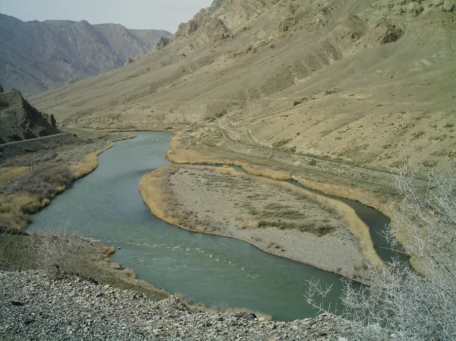
- Top sights: Vedi River · Yeghegnavan
- Nearby: Artashat (13 km)
- Population: ~17.598 (2026)
Best time to visit & climate
The most pleasant time to visit is May, Jun, Sep.
| Jan | Feb | Mar | Apr | May | Jun | Jul | Aug | Sep | Oct | Nov | Dec | |
|---|---|---|---|---|---|---|---|---|---|---|---|---|
| Avg °C | 0 | 2 | 8 | 13 | 18 | 24 | 27 | 27 | 22 | 15 | 7 | 1 |
| Rain mm | 19 | 16 | 29 | 47 | 60 | 44 | 29 | 21 | 18 | 33 | 20 | 18 |
Geography
Facts
- The city was officially founded in 1939.
- It is home to one of the largest cement factories in the region.
- The Ararat Gold Recovery Plant processes ore from the Sotk mine.
- Ararat is situated at an elevation of approximately 825 meters.
- The city is located only about 7 kilometers from the Turkish border.
- Its name is derived from the biblical Mount Ararat.
- Ararat was granted city status in 1962.
Explore nearby
Notable places around
Route planner — Car & Motorhome
Where do you start? We build the route here, with stops and country notes along the way.
© OpenStreetMap contributors · OpenRouteService
Sights in the town Ararat (2)
Frequently asked questions
How many days do you need for Ararat?
When is the best time to visit Ararat?
How do you get to Ararat?
What should you try there?
Is Ararat family-friendly?
Ararat: where is it located?
Ararat: what is there to see?
Ararat: when is the best time to visit?
Ararat: why is it worth visiting?

Nearby cities
History & landmarks
Nature
More places