Plizio Visual Lab
Almkogel
Weather…
Water temperature…
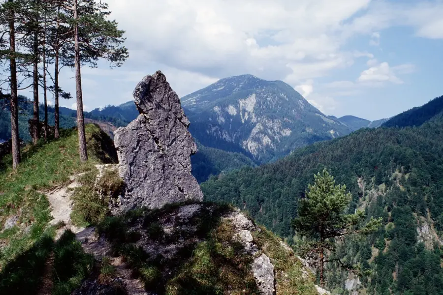
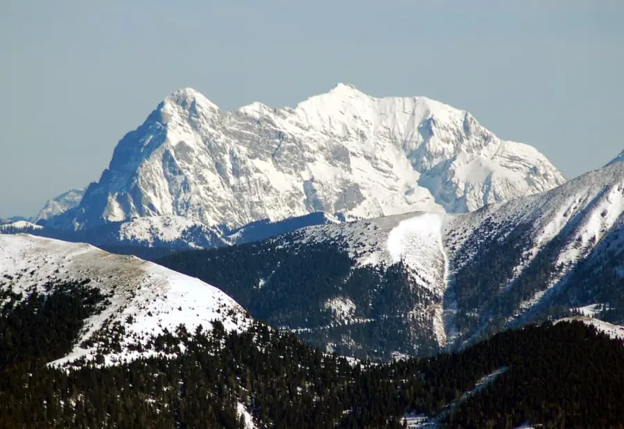
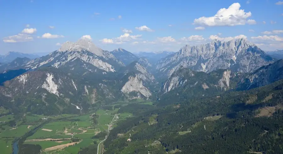
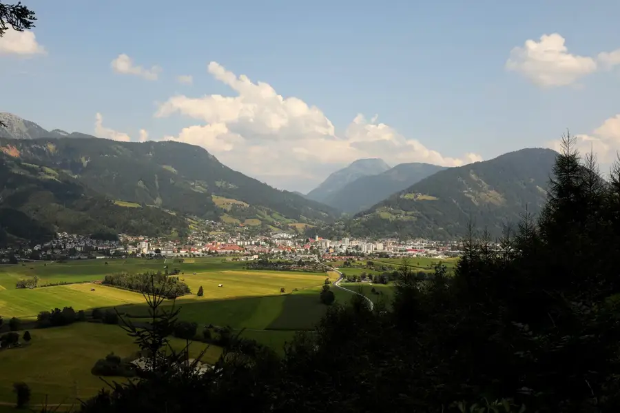
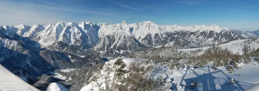
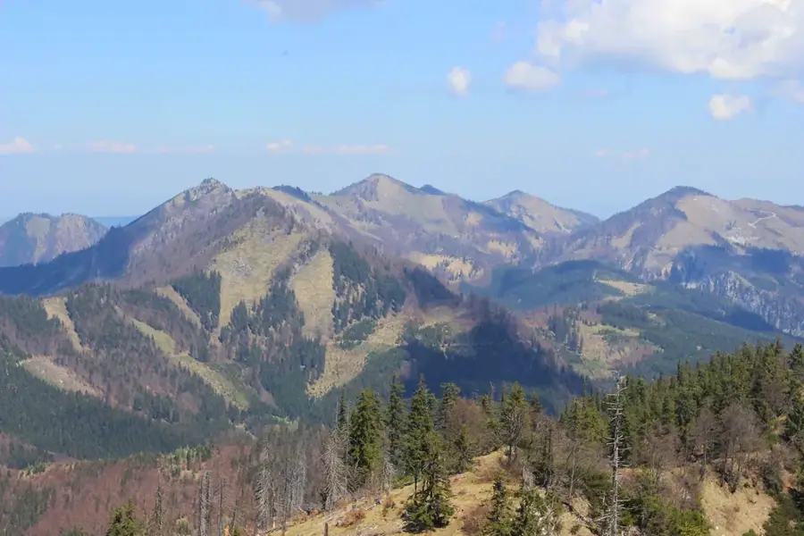
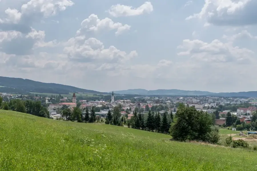
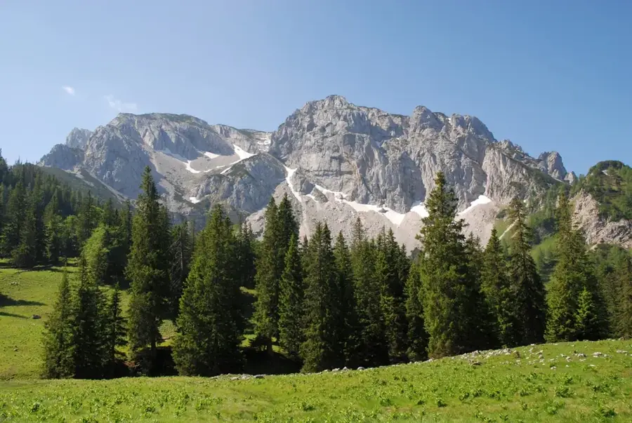
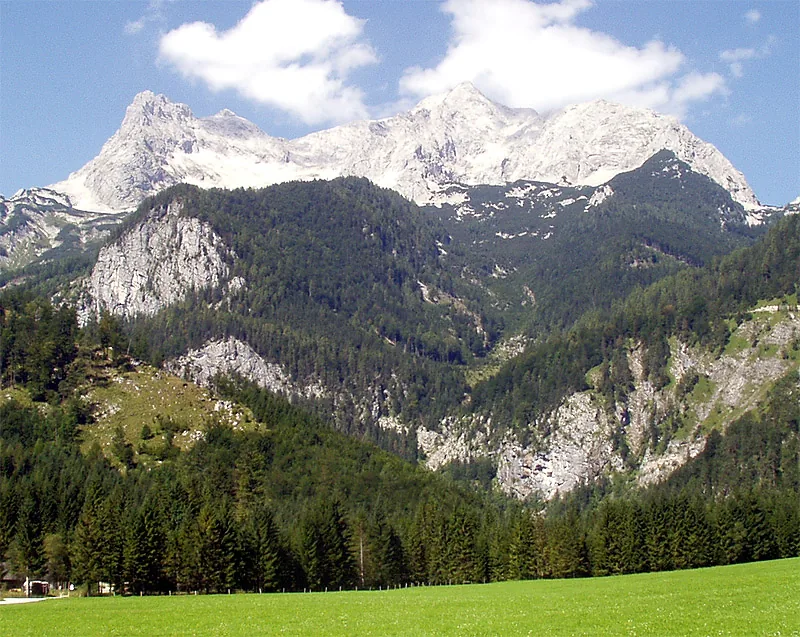
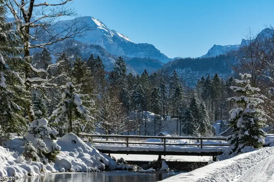
Rising to 1,513 meters, Almkogel is a prominent peak in the Upper Austrian Prealps, renowned for offering some of the finest views in the Ennstal region. Located near the Kalkalpen National Park, its summit provides a panoramic sweep from the Mühlviertel hills to the high limestone peaks of the Totes Gebirge. Most hikers reach the summit via the Ennser Hütte, a mountain hut established in the late 19th century that serves as a vital base for regional tourism. Geologically, Almkogel belongs to the flysch zone, resulting in softer contours compared to the jagged limestone ranges nearby. The vegetation is characterized by extensive alpine pastures, or 'alms', which gave the mountain its name and continue to be used for seasonal cattle grazing. Its moderate elevation makes Almkogel a year-round destination, frequently visited by snowshoe hikers during the winter. Historically, the surrounding region was shaped by the ironworking and mining industries centered in Steyr and the Enns Valley.
- Location: Upper Austria, Austria
- Nearby: Waidhofen an der Ybbs (28 km)
Best time to visit & climate
The most pleasant time to visit is Jun–Aug.
| Jan | Feb | Mar | Apr | May | Jun | Jul | Aug | Sep | Oct | Nov | Dec | |
|---|---|---|---|---|---|---|---|---|---|---|---|---|
| Avg °C | -2 | -1 | 3 | 8 | 13 | 17 | 19 | 18 | 14 | 9 | 4 | -1 |
| Rain mm | 76 | 60 | 71 | 58 | 117 | 135 | 138 | 138 | 106 | 76 | 59 | 65 |
📋 Practical info
Geography
Facts
- The summit of Almkogel reaches an elevation of 1,513 m.
- It is located on the border between Upper and Lower Austria.
- The Ennser Hütte mountain hut was opened in 1894.
- Geologically, the peak is part of the Alpine flysch zone.
- Over 100 different alpine peaks can be seen from its summit.
- The hike from the Ennser Hütte to the peak takes approximately 45 minutes.
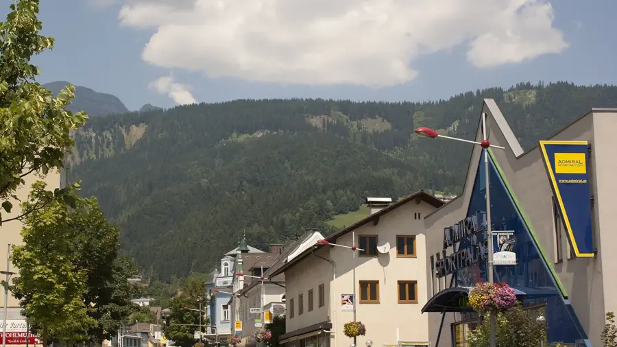
Explore nearby
Notable places around
Route planner — Car & Motorhome
Where do you start? We build the route here, with stops and country notes along the way.
© OpenStreetMap contributors · OpenRouteService
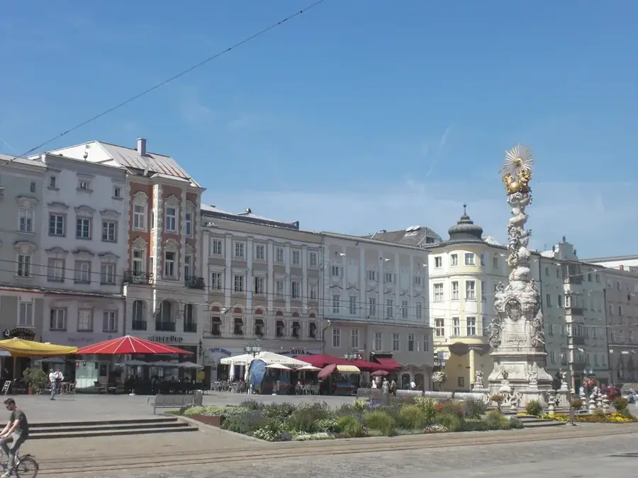
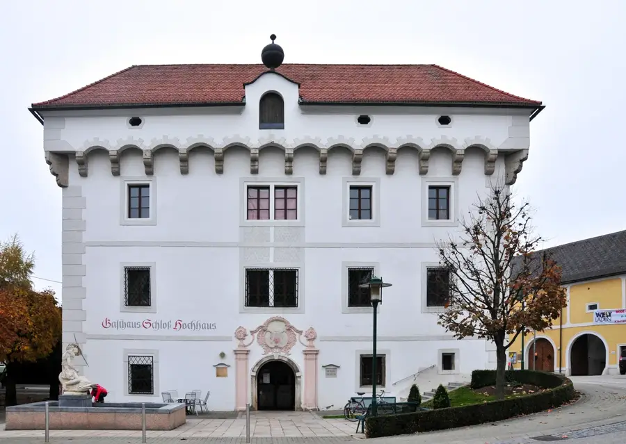
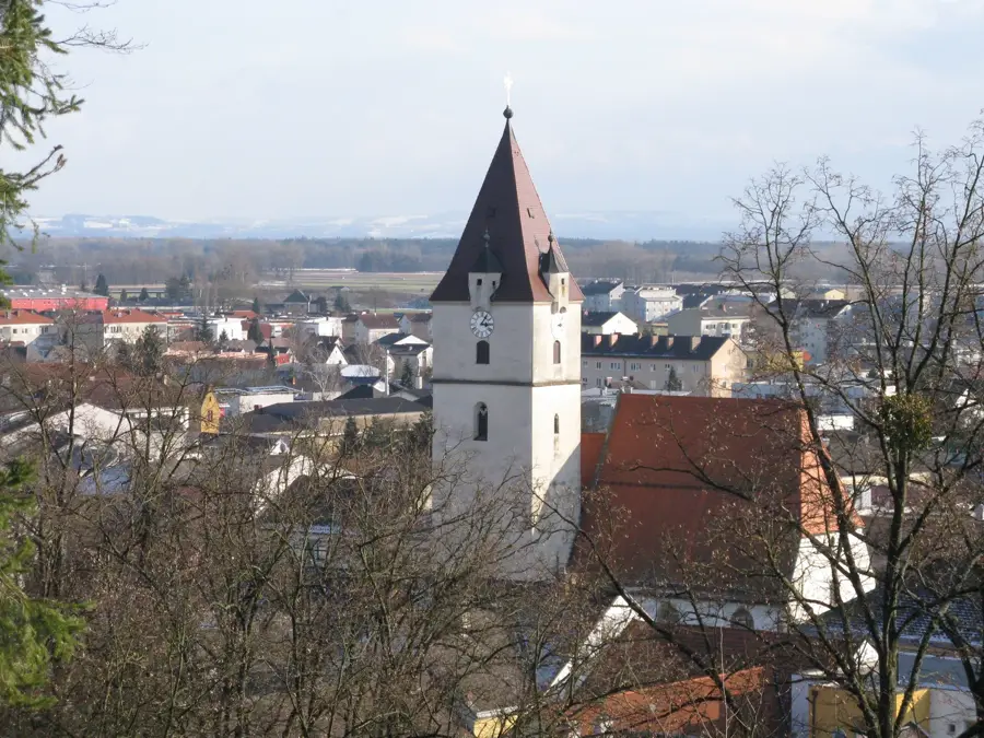
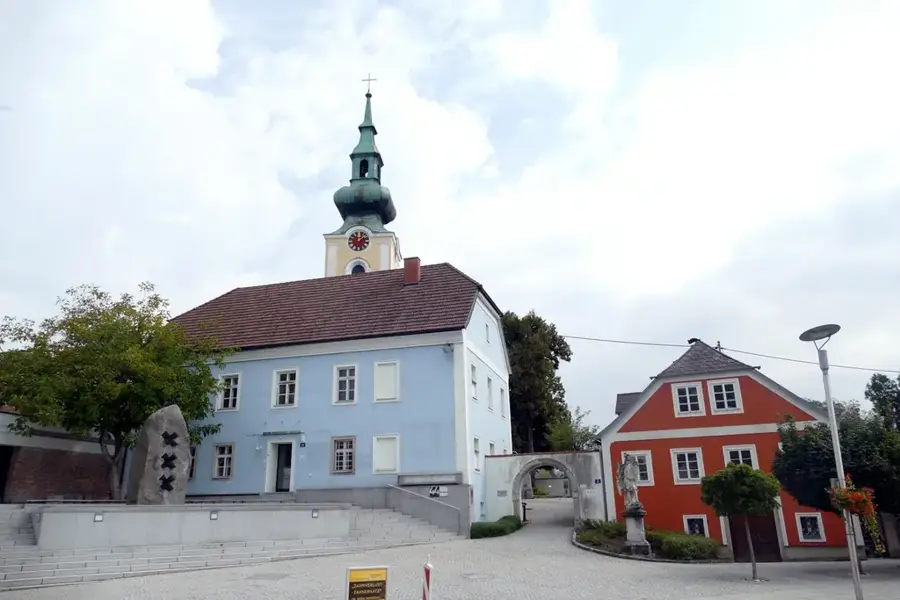
Sights in the town Almkogel (1)
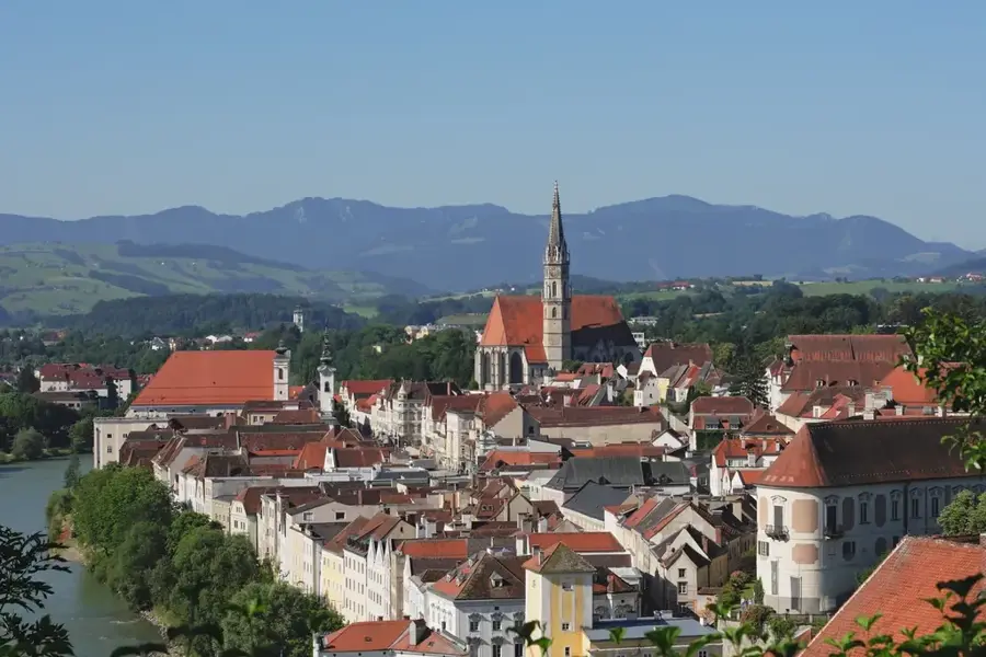
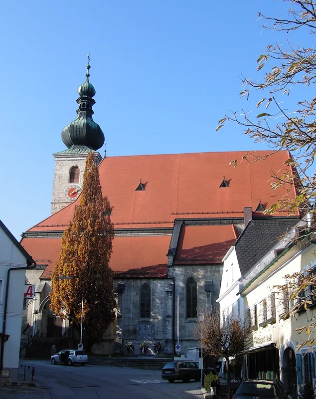
Sights nearby
Frequently asked questions
Where is the Almkogel located?
Is the Almkogel suitable for beginners?
Is there a hut for refreshments?
How high is the summit?
What can you see from the summit?
Almkogel: where is it located?
Almkogel: when is the best time to visit?
Almkogel: why is it worth visiting?

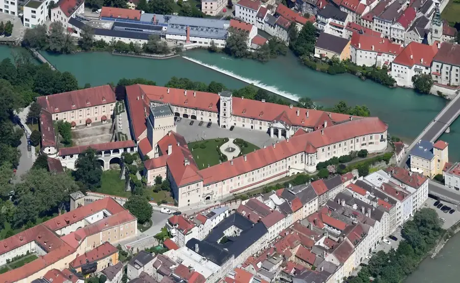
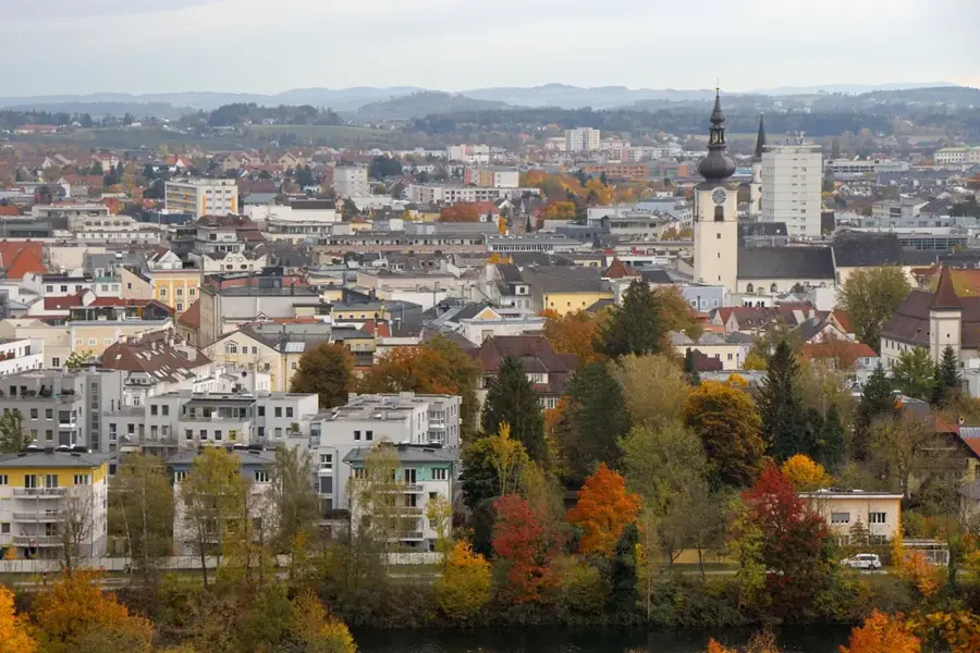
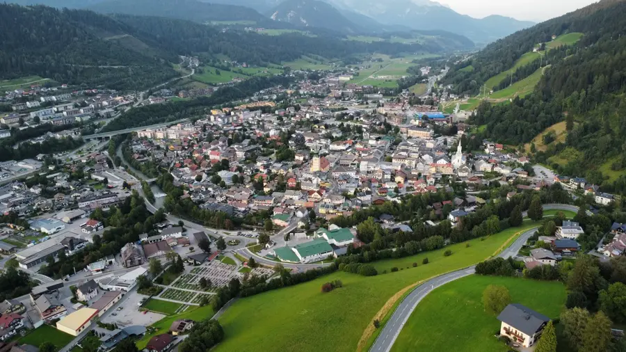
Nearby cities
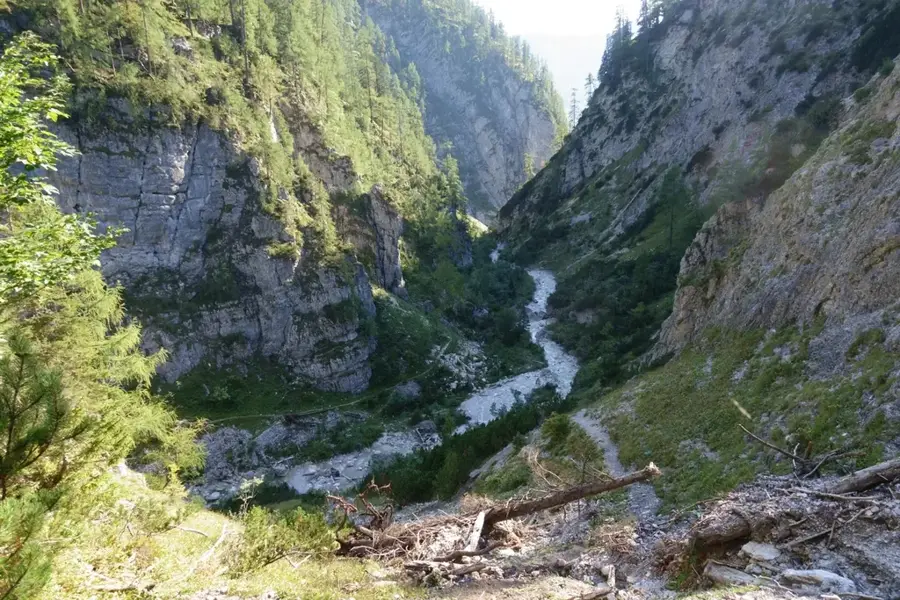
Nature
More places