Plizio Visual Lab
Vardar near Brvenica
Weather…
Water temperature…
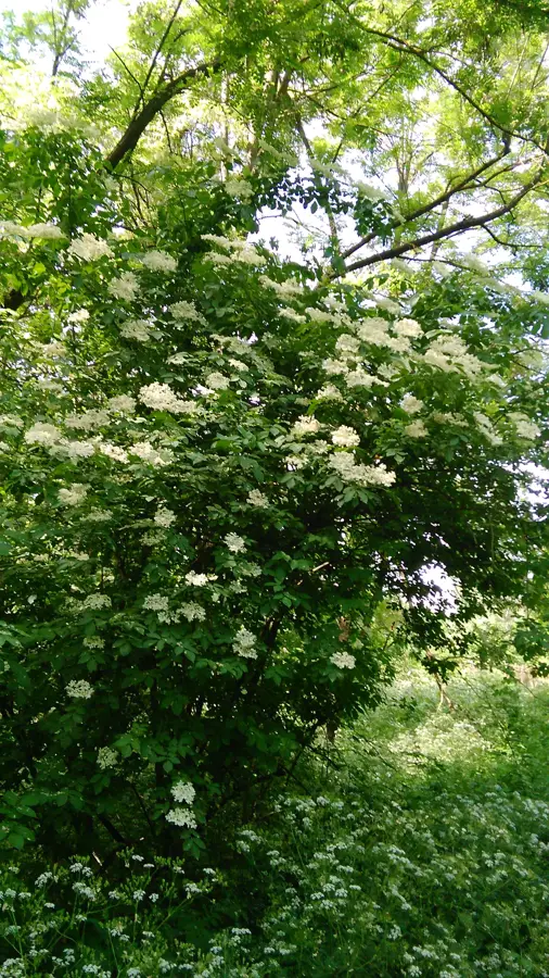
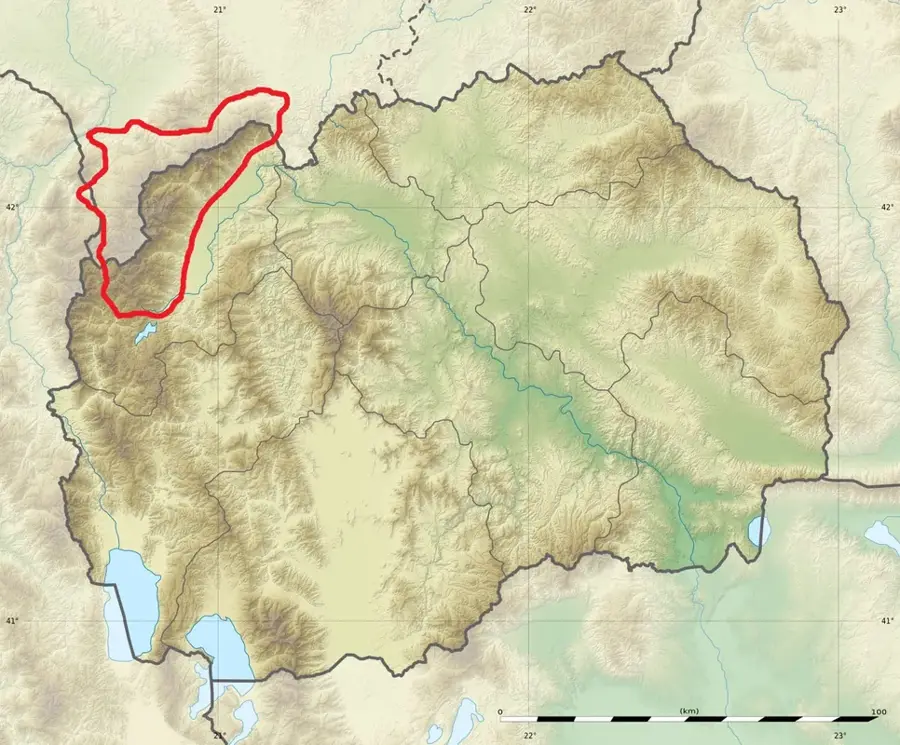
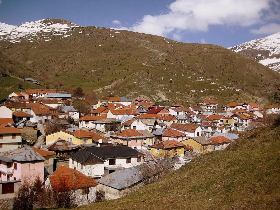
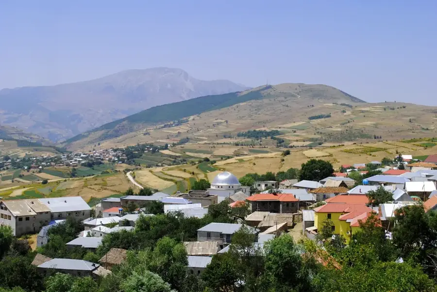
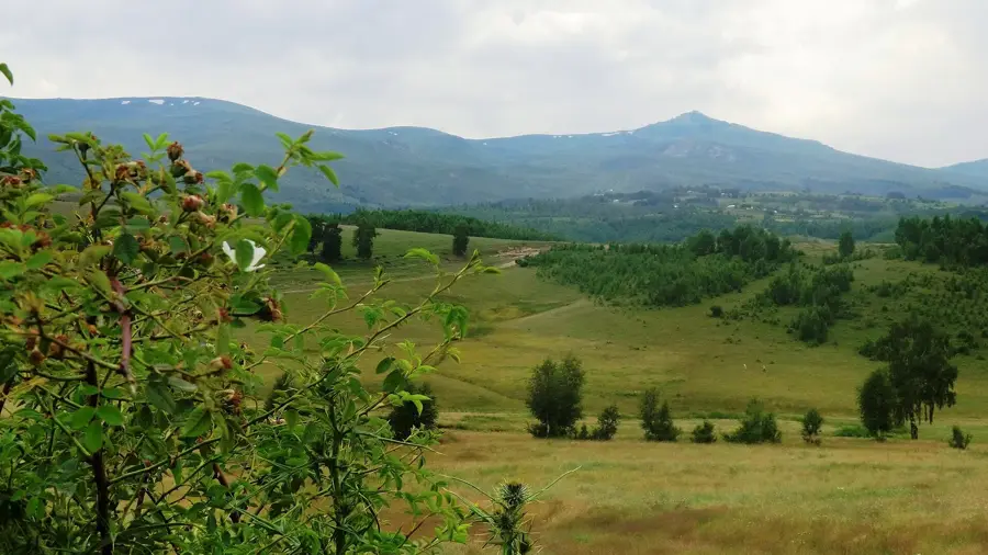
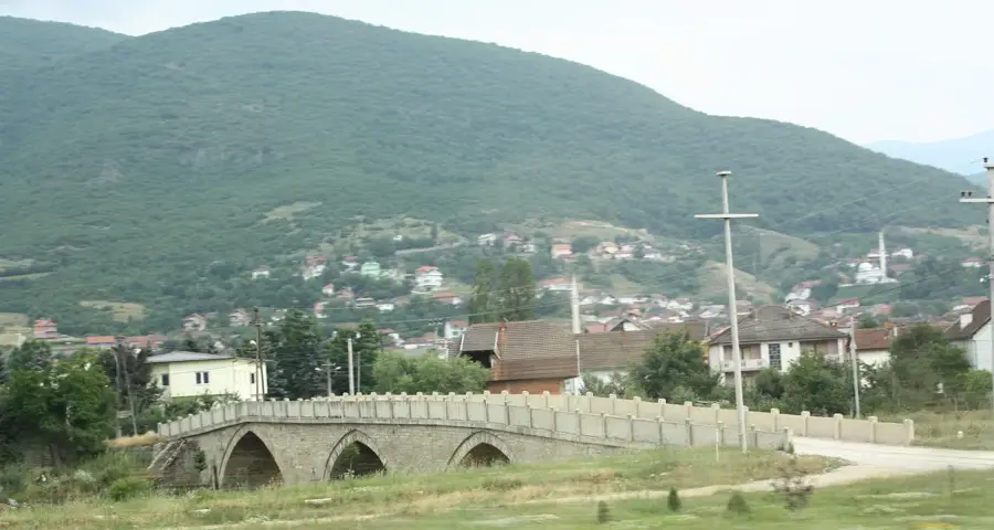
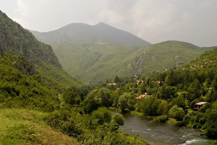
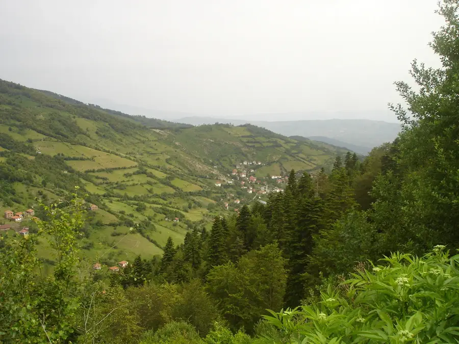
The Vardar River flows near Brvenica through a central section of the fertile Polog plain in northwestern North Macedonia. In this region, the course of the Vardar is characterized by a moderate gradient and a wide floodplain, which has been the foundation for intensive agriculture for centuries. The riverbank at Brvenica is lined with natural riparian vegetation, mainly willows and poplars, providing an important habitat for local bird species and fish. The river plays a crucial role in the valley's microclimate and serves as the primary source for irrigation systems in the surrounding fields. Historically, the Vardar in this section was an obstacle overcome by various bridges to ensure connection between the villages at the foot of the Šar Mountains and Suva Gora. Today, this area of the river is also a place for recreational activities such as fishing and nature observation. Water quality is regularly monitored to ensure the ecological health of this vital waterway in the Polog region.
- Location: North Macedonia
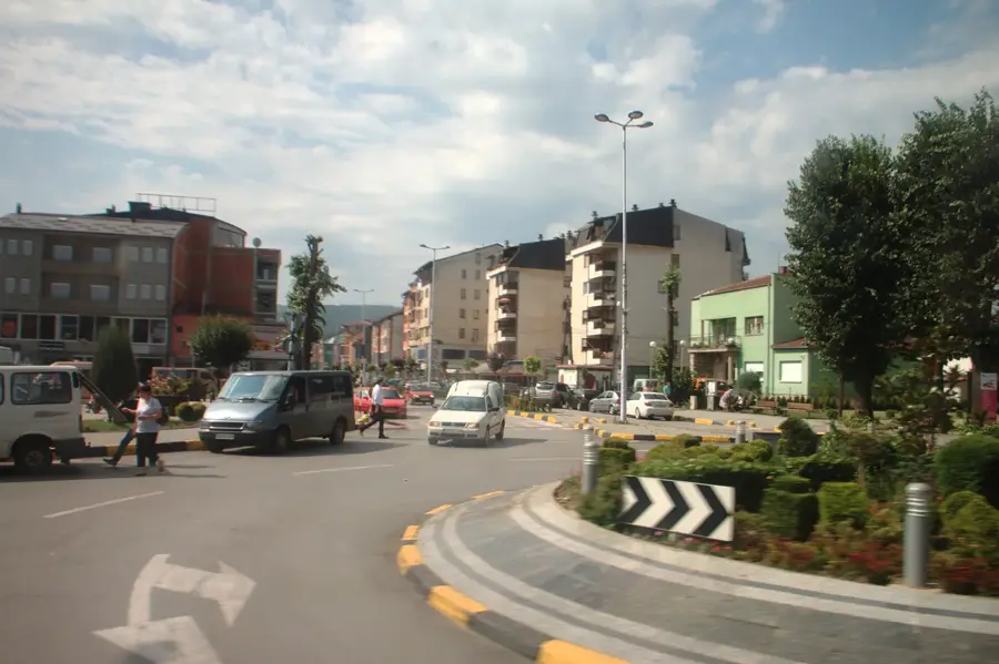
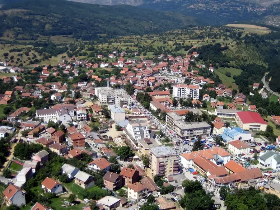
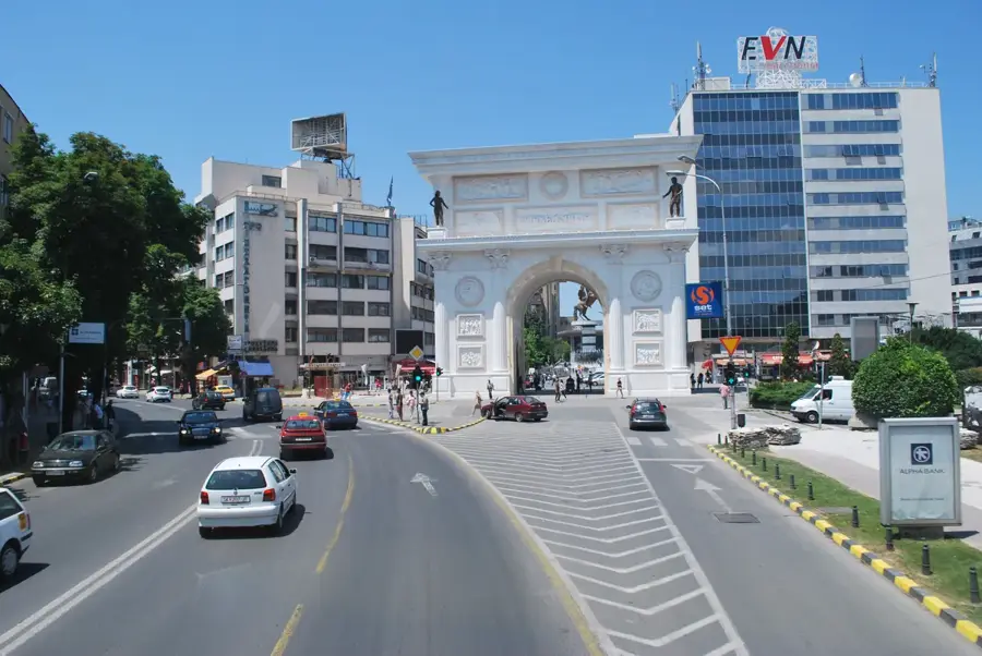
- Nearby: Tetovo Trade Hub (5 km)
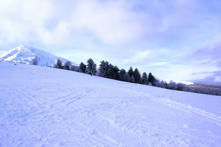
Best time to visit & climate
The most pleasant time to visit is Jun–Aug.
| Jan | Feb | Mar | Apr | May | Jun | Jul | Aug | Sep | Oct | Nov | Dec | |
|---|---|---|---|---|---|---|---|---|---|---|---|---|
| Avg °C | -1 | 1 | 5 | 10 | 15 | 19 | 23 | 23 | 18 | 12 | 6 | 0 |
| Rain mm | 77 | 68 | 73 | 66 | 76 | 57 | 37 | 39 | 68 | 88 | 97 | 85 |
📋 Practical info
Geography
Facts
- The Vardar is the longest river in North Macedonia at 388 km
- The section near Brvenica is located in the Polog plain
- Average elevation of the riverbed here is about 450 meters
- Serves as the main irrigation source for regional agriculture
- The bank is characterized by dense willow and poplar groves
- The river forms the border between various municipal territories here
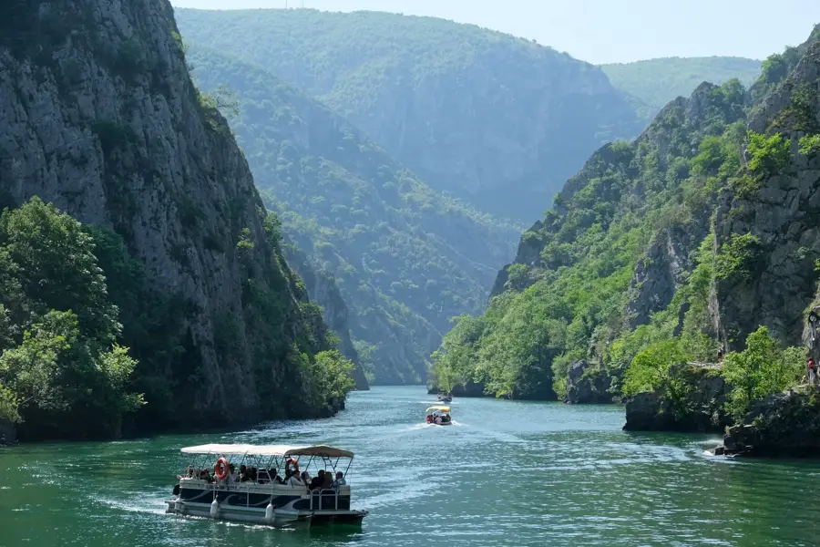
Explore nearby
Notable places around
Route planner — Car & Motorhome
Where do you start? We build the route here, with stops and country notes along the way.
© OpenStreetMap contributors · OpenRouteService
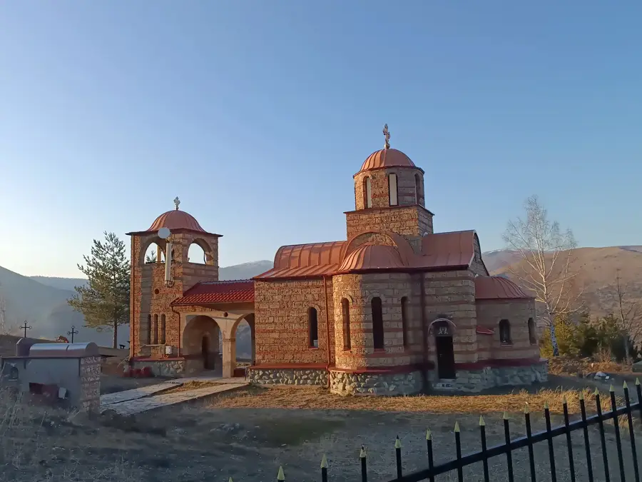
Sights in the town Vardar near Brvenica (1)
Sights nearby
Frequently asked questions
How is the Vardar river at Brvenica?
Can you take walks along the river?
Are there bridges in Brvenica?
Is fishing allowed in the Vardar?
What is the best season to visit?
Vardar near Brvenica: where is it located?
Vardar near Brvenica: when is the best time to visit?
Vardar near Brvenica: why is it worth visiting?

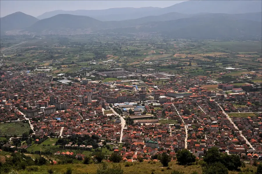
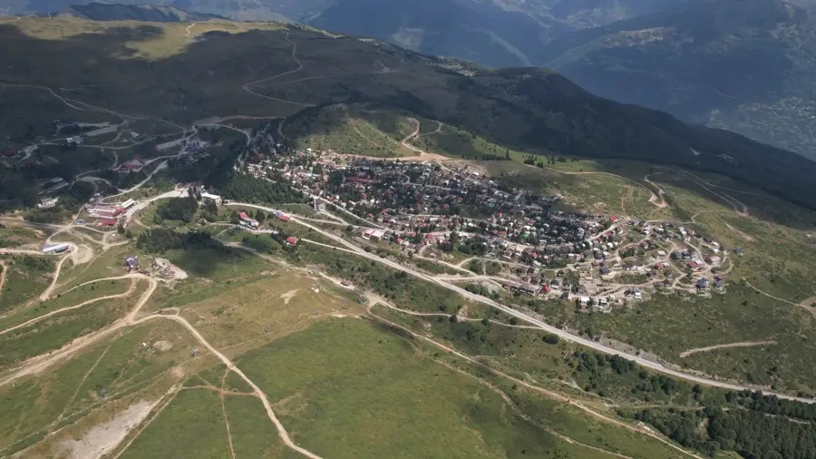
Nearby cities


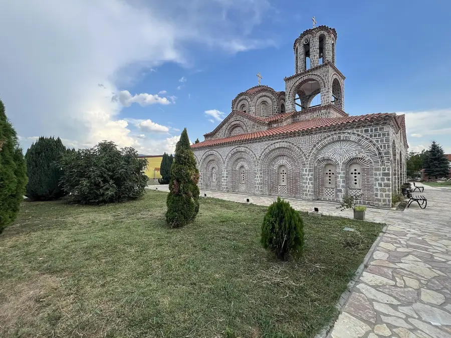
History & landmarks
Nature

More places