Plizio Visual Lab
Shar Planina Nature Park
Weather…
Water temperature…
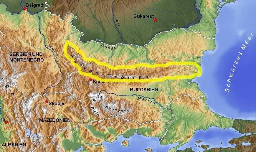
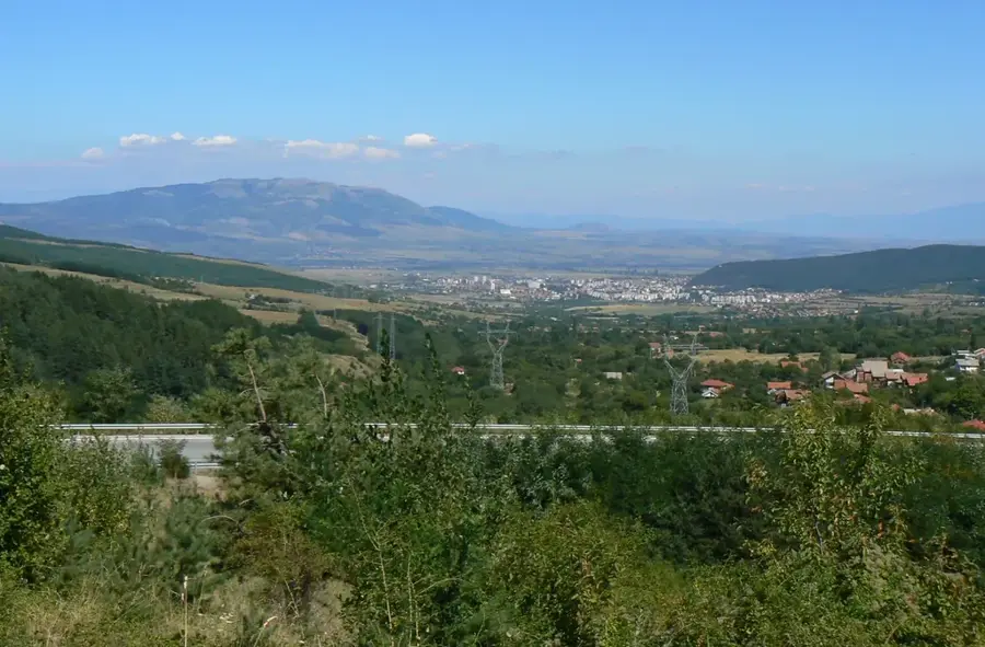
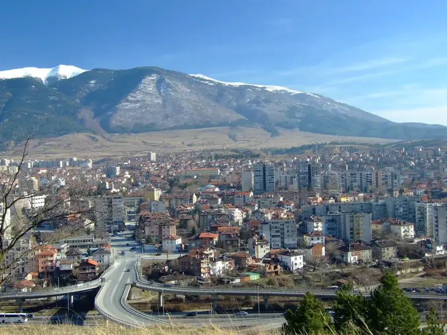
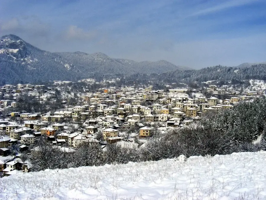
The Shar Mountains (Shar Planina) are an impressive high-mountain massif in the southwestern Balkan Peninsula, stretching across the borders of North Macedonia, Kosovo, and Albania. Although not directly located in Bulgaria, they hold outstanding ecological significance for the entire Balkan region. The mountains are characterized by alpine landscapes, deep valleys, and over 20 peaks exceeding 2500 meters, with Titov Vrv being the highest point at 2747 meters. The massif is home to approximately 27 glacial lakes, often referred to as 'mountain eyes,' which are remnants of the last ice age. The flora is exceptionally diverse, featuring numerous endemics such as the Shar Planina milfoil. Protected animal species, including the Balkan lynx, brown bear, and chamois, inhabit the dense forests and vast alpine meadows. Culturally, the region is famous for traditional sheep herding and the Sharplaninac shepherd dog, a robust breed that has guarded flocks for centuries. National park status in the neighboring countries ensures the preservation of this unique high-mountain environment.
Best time to visit & climate
The most pleasant time to visit is Jun–Aug.
| Jan | Feb | Mar | Apr | May | Jun | Jul | Aug | Sep | Oct | Nov | Dec | |
|---|---|---|---|---|---|---|---|---|---|---|---|---|
| Avg °C | -1 | 1 | 5 | 10 | 15 | 19 | 23 | 23 | 18 | 12 | 6 | 0 |
| Rain mm | 77 | 68 | 73 | 66 | 76 | 57 | 37 | 39 | 68 | 88 | 97 | 85 |
📋 Practical info
Geography
Facts
- Titov Vrv is the highest peak of the massif, reaching 2747 meters.
- Contains 27 crystal-clear glacial lakes known as 'mountain eyes.'
- The mountain range covers an area of approximately 1600 km².
- Home to the Sharplaninac, a world-renowned livestock guardian dog breed.
- Habitat for the extremely rare and endangered Balkan lynx.
- Features one of the largest contiguous alpine pasture areas in Europe.
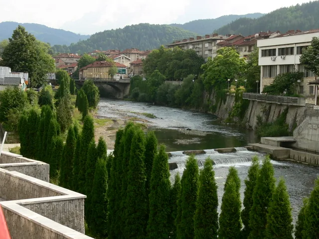
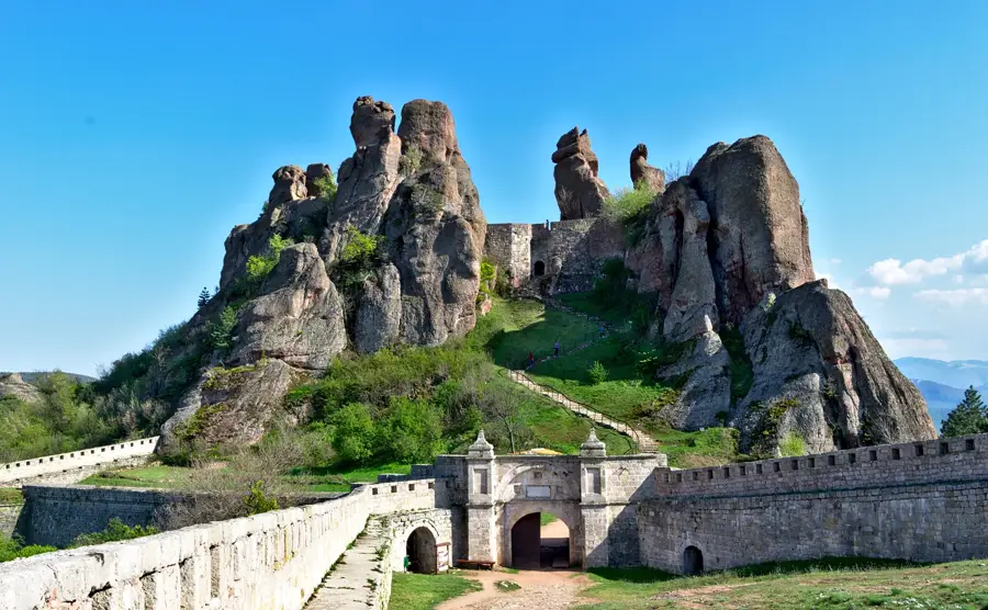
Explore nearby
Notable places around
Route planner — Car & Motorhome
Where do you start? We build the route here, with stops and country notes along the way.
© OpenStreetMap contributors · OpenRouteService
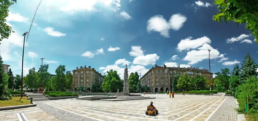
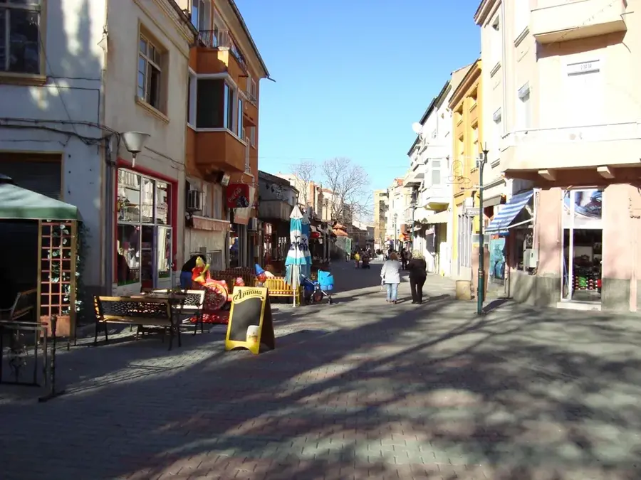
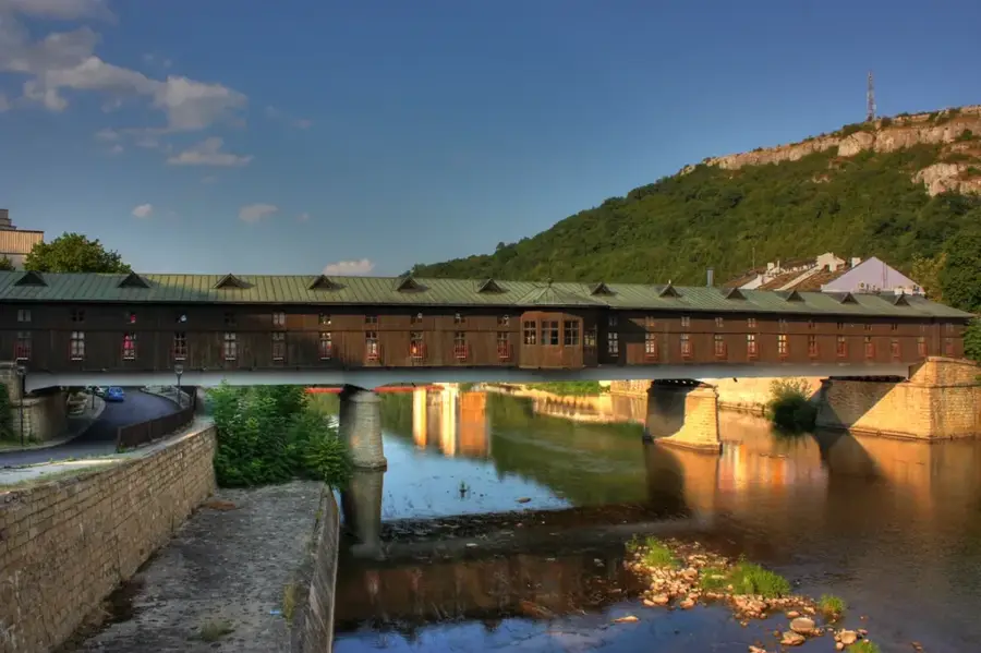
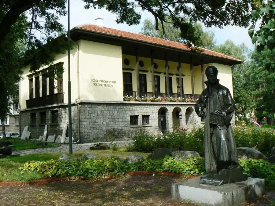
Sights in the town Shar Planina Nature Park (1)
Sights nearby
Frequently asked questions
Where exactly is this nature park located?
What is the highest peak in the Bulgarian part?
What activities are popular in the park?
Are there rare plants?
Are the trails well marked?
Shar Planina Nature Park: where is it located?
Shar Planina Nature Park: when is the best time to visit?
Shar Planina Nature Park: why is it worth visiting?

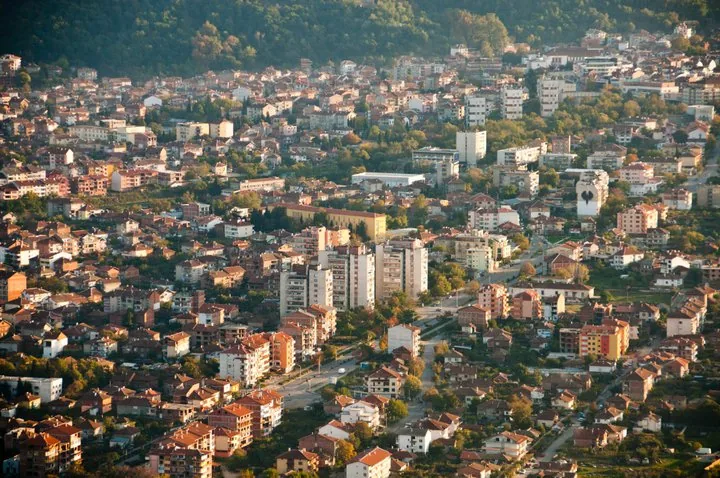
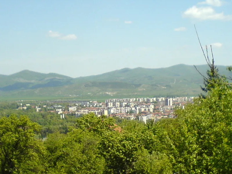
Nearby cities
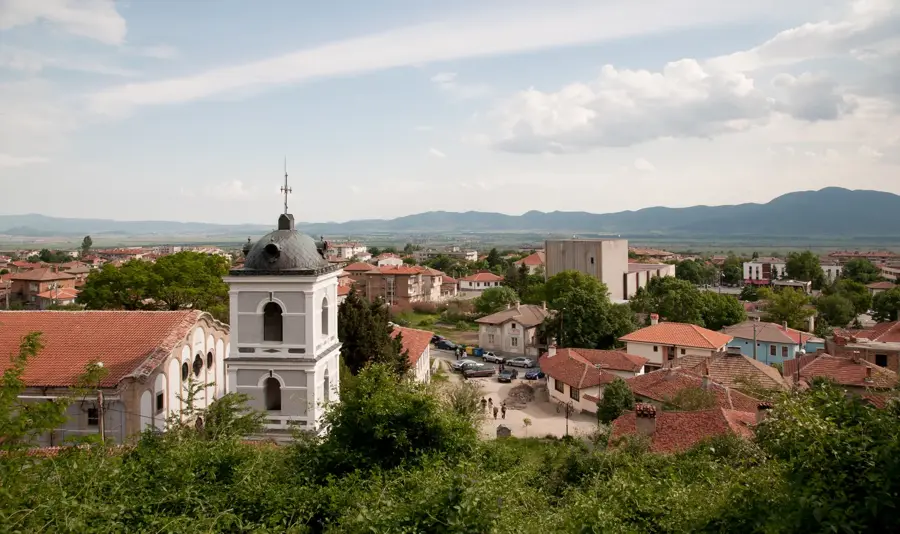
History & landmarks