Plizio Visual Lab
Sar Planina Mountains
Weather…
Water temperature…
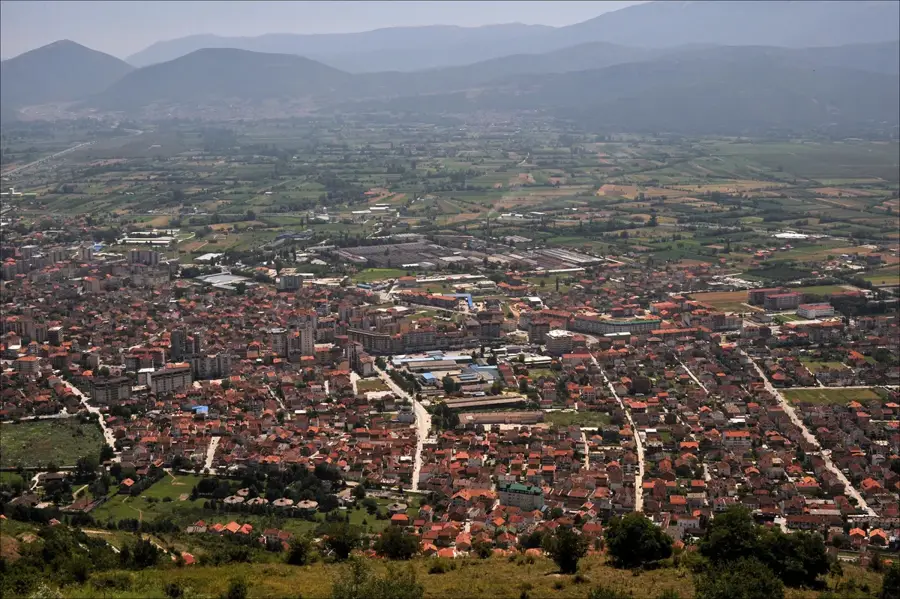
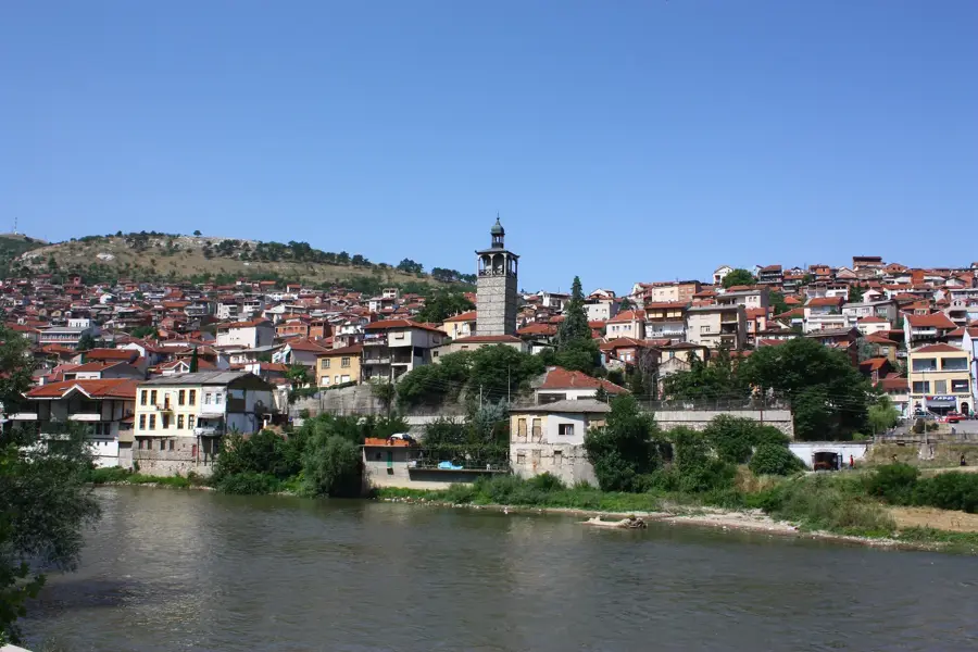
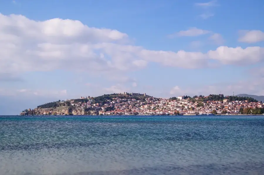
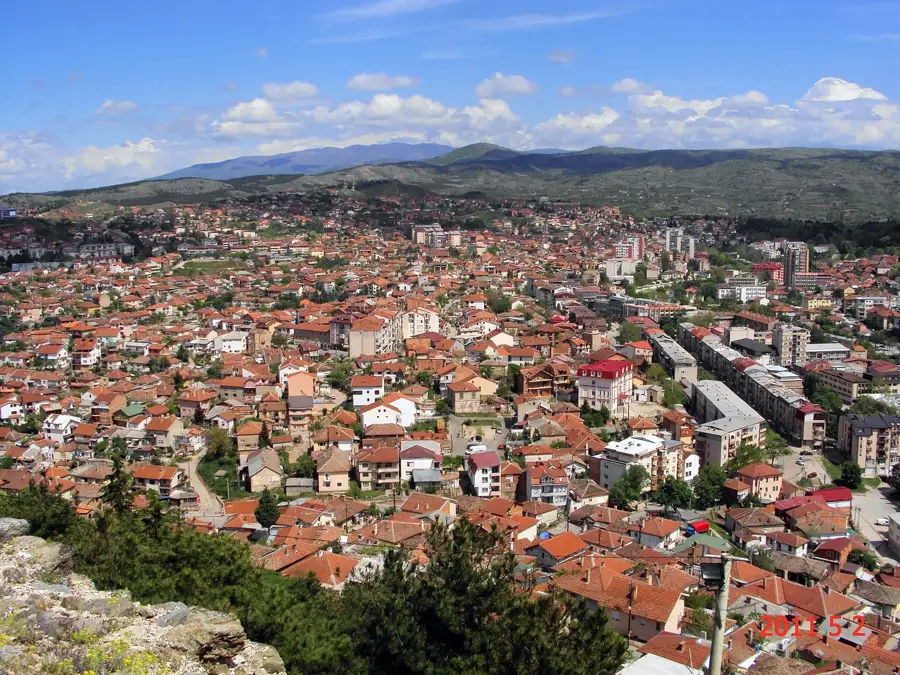
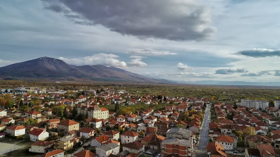
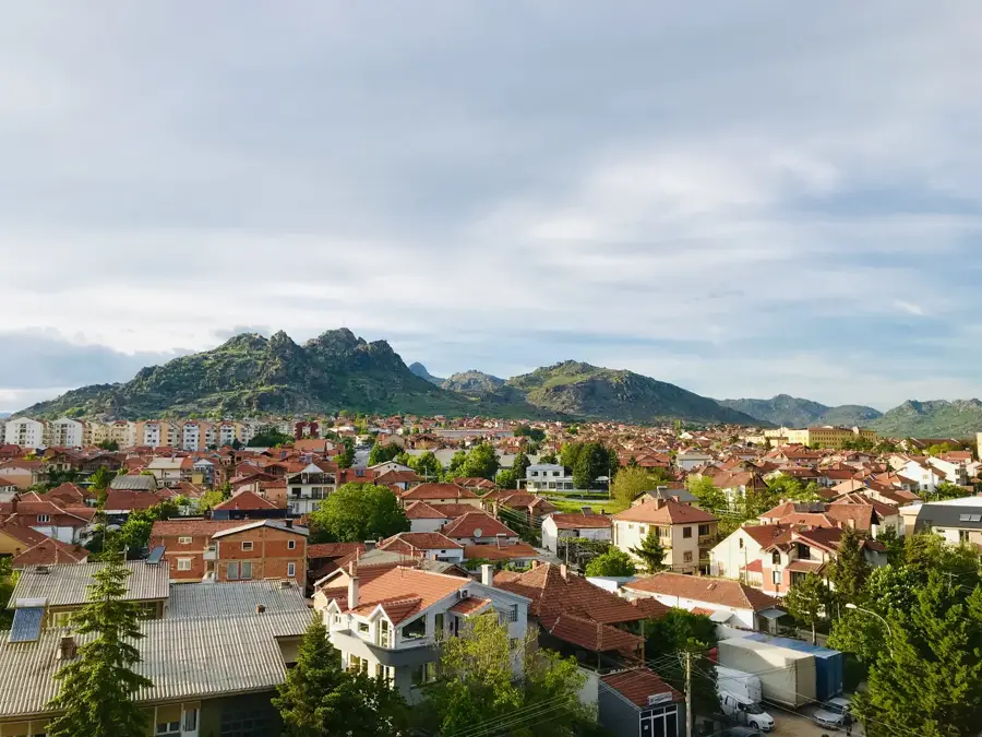
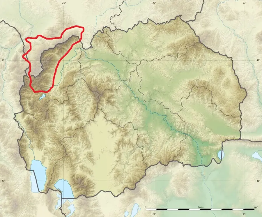
The Shar Mountains (Shar Planina) form one of the largest and most extensive mountain massifs in the Balkans, stretching across North Macedonia, Kosovo, and Albania. The Macedonian section includes numerous peaks exceeding 2,500 meters, with Titov Vrv being the highest elevation. The mountains are characterized by a gentler yet distinctly alpine topography, featuring vast high-altitude pastures that have been used for sheep herding for centuries. Geologically, it is a young fold mountain range consisting mainly of limestone and crystalline shale. The region is renowned for its abundance of water, featuring countless mountain streams, waterfalls, and over 30 glacial lakes known as 'mountain eyes.' The flora and fauna are exceptionally diverse, and the Sharplaninac shepherd dog is recognized as a national symbol. In 2021, the Macedonian portion was officially designated as a national park to ensure its ecological integrity. The Popova Shapka ski resort is a significant hub for winter tourism in the region.
- Location: North Macedonia
- Nearby: Popova Shapka (9 km)
Best time to visit & climate
The most pleasant time to visit is Jun–Aug.
| Jan | Feb | Mar | Apr | May | Jun | Jul | Aug | Sep | Oct | Nov | Dec | |
|---|---|---|---|---|---|---|---|---|---|---|---|---|
| Avg °C | -1 | 1 | 5 | 10 | 15 | 19 | 23 | 23 | 18 | 12 | 6 | 0 |
| Rain mm | 77 | 68 | 73 | 66 | 76 | 57 | 37 | 39 | 68 | 88 | 97 | 85 |
📋 Practical info
Geography
Facts
- Stretches over a length of approximately 80 kilometers.
- Titov Vrv (2,747 m) is the highest peak in the range.
- Home to more than 30 glacial mountain lakes.
- The Sharplaninac dog breed originated in this region.
- The Macedonian section became a national park in 2021.
- Popova Shapka is the most famous ski resort in the area.
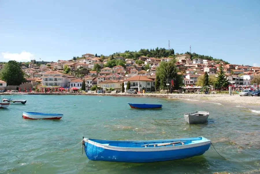
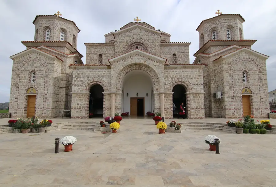
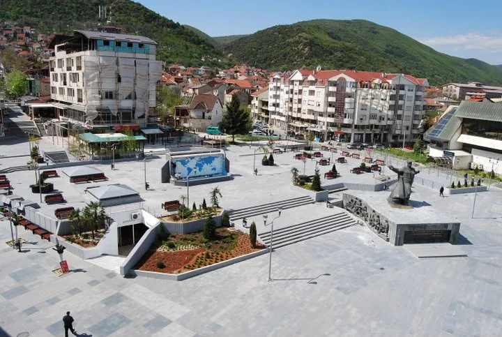
Explore nearby
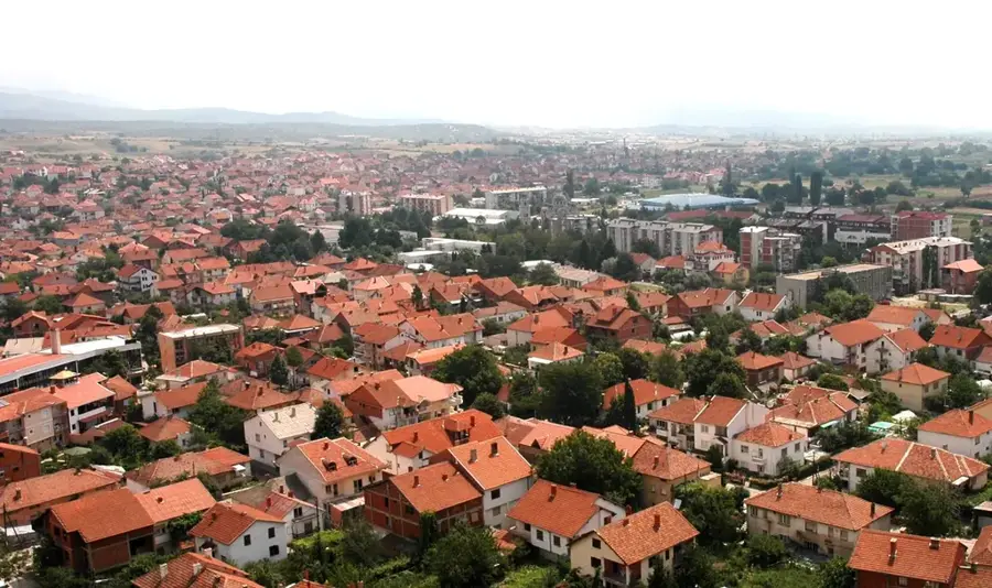
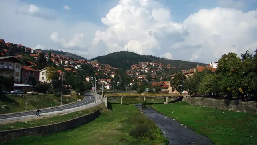
Notable places around
Route planner — Car & Motorhome
Where do you start? We build the route here, with stops and country notes along the way.
© OpenStreetMap contributors · OpenRouteService
Sights nearby
Frequently asked questions
How large is the Šar Planina range?
What is the Šarplaninac?
What sports can be practiced here?
How many glacial lakes are there?
What is the traditional food of the region?
Sar Planina Mountains: where is it located?
Sar Planina Mountains: when is the best time to visit?
Sar Planina Mountains: why is it worth visiting?

Nearby cities