Plizio Visual Lab
Restelica

ℹ️Practical info — Restelica
▾
🌤 Weather — 5 days
📍 Nearby
Sights nearby
💡 Tips
- Arrive in the early afternoon to catch the best sunlight hitting the 'stacked' stone houses.
- Respect the conservative local culture; a friendly 'Selam' goes a long way with the elders.
- Visit in July or August to witness the spectacular traditional weddings of the Gorani community.
- Pack warm layers, as temperatures at 1400m drop sharply even during summer nights.
- Ask locals for the path to the viewpoint above the main mosque for a panoramic village view.
🍽 Food
Try the local clotted cream (kaymak) paired with wild honey for a traditional breakfast.
A brew made from foraged rosehips and mountain herbs, served in the local village cafes.
🛍 Shopping · 🧘 Quiet spots
Look for the traditional black waistcoats with gold or silk thread embroidery (Jelek).
Dried mountain tea and herbal blends foraged directly from the surrounding slopes.
The path leading toward North Macedonia gives absolute silence and vast valley views.
A peaceful forested area between Restelica and Kruševo, first-rate for quiet walks.
Water temperature…
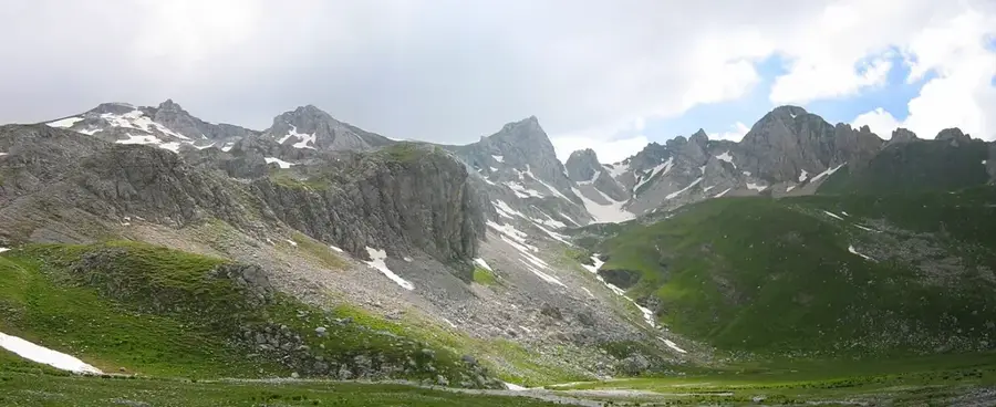
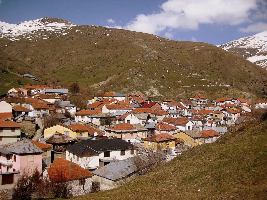
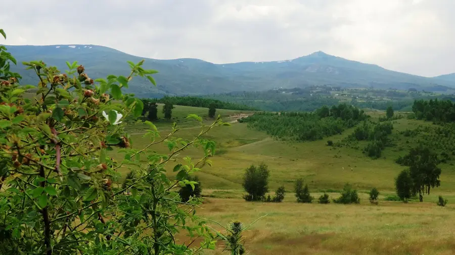
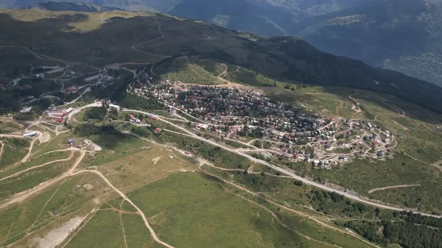
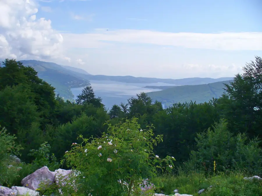
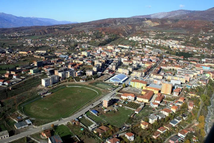
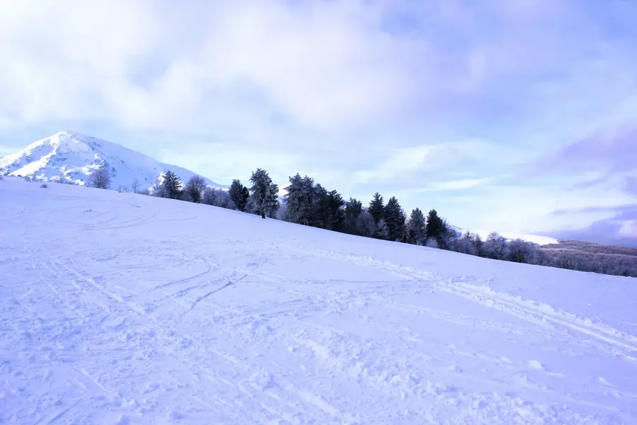
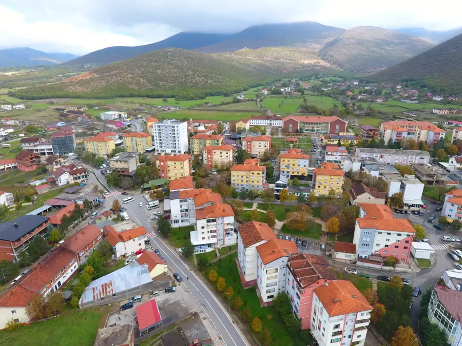
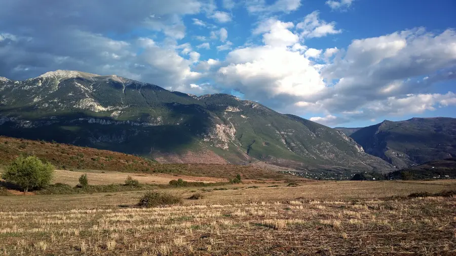
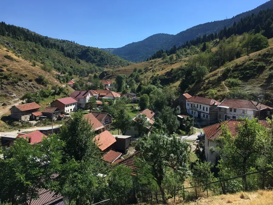
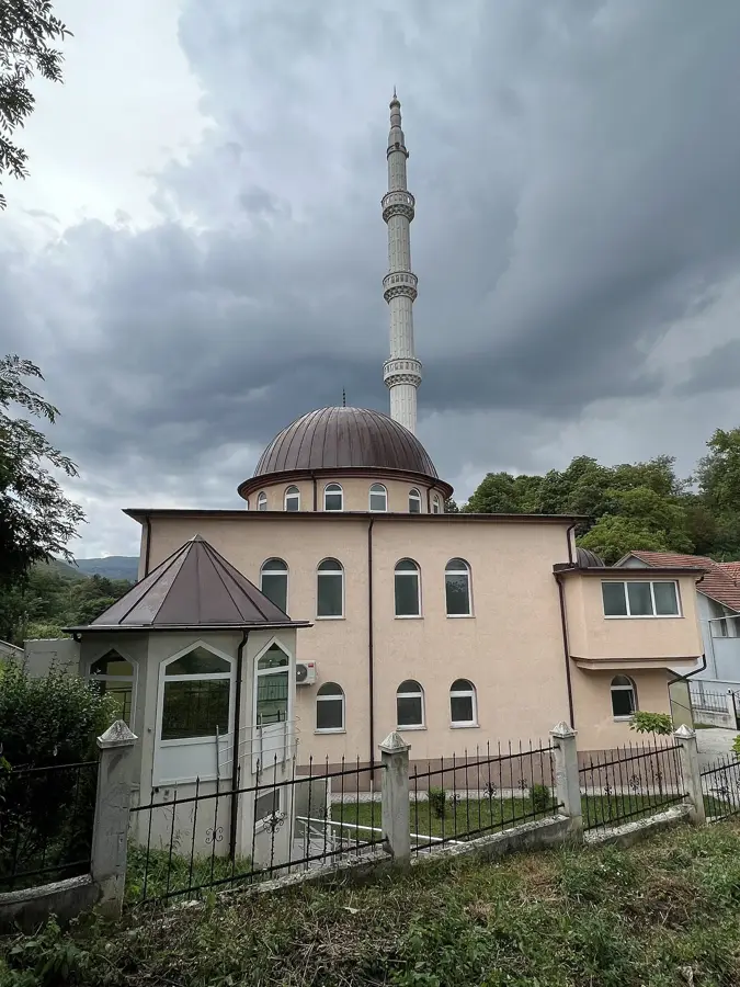
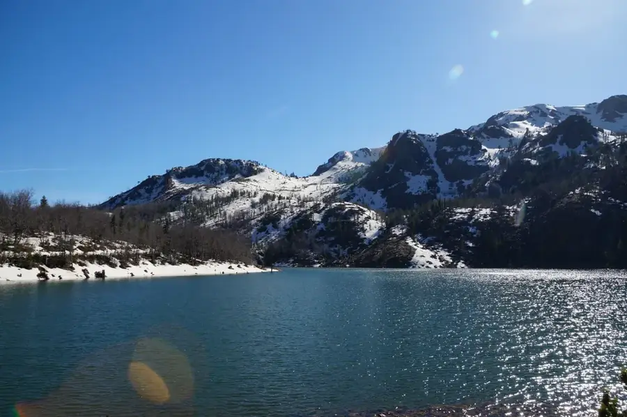
Restelica is one of the largest and highest mountain villages in Kosovo, located within the Dragash municipality in the Sharr Mountains at an elevation of approximately 1,450 meters. The village is almost exclusively inhabited by the Gorani people, who have maintained their unique South Slavic language and distinct cultural identity through centuries of isolation. The architecture of Restelica is characterized by densely packed, multi-story stone houses built tightly against steep slopes to provide mutual protection against the harsh winter climate. Traditionally, livestock farming, particularly sheep herding, has been the cornerstone of the local economy, with shearing and cheese production serving as vital seasonal activities. The area surrounding the village is renowned for its pristine natural beauty and traditional festivals like St. George's Day (Djurdjevdan), showcasing local customs and spirited folk costumes. Despite significant emigration over the past decades, Restelica remains the most important cultural hub for the Gorani community globally. During the summer months, the village experiences a dramatic revitalization as thousands of expatriates return to their ancestral home.
- Location: Kosovo
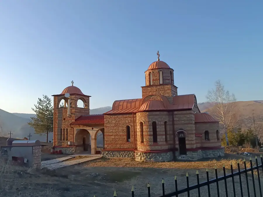
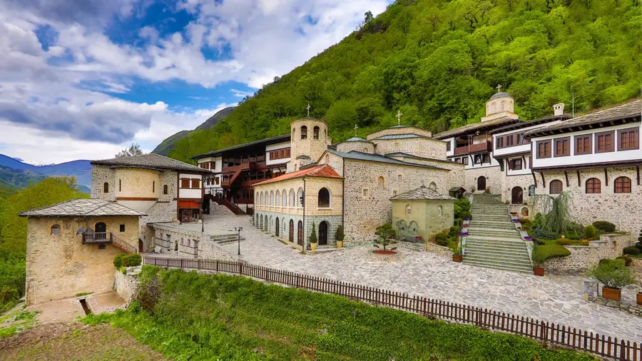
- Top sights: Gemitash · Ovshinec · Megdan
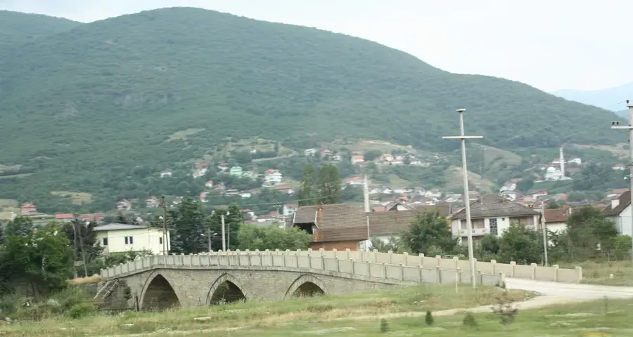
- Nearby: Brod (6 km)
- Population: ~4
Best time to visit & climate
The most pleasant time to visit is Jun–Aug.
| Jan | Feb | Mar | Apr | May | Jun | Jul | Aug | Sep | Oct | Nov | Dec | |
|---|---|---|---|---|---|---|---|---|---|---|---|---|
| Avg °C | -2 | -1 | 3 | 7 | 12 | 16 | 20 | 20 | 15 | 10 | 5 | -1 |
| Rain mm | 81 | 73 | 77 | 68 | 75 | 56 | 37 | 38 | 71 | 91 | 102 | 92 |
Geography
Facts
- Restelica is situated at an elevation of approximately 1,450 meters above sea level.
- The village has one of the highest population densities among mountain settlements in the area.
- Residents speak 'Našinski', a unique Slavic dialect specific to the Gorani people.
- The climate is marked by heavy snowfall that often lasts for several months each year.
- Traditional architecture utilizes massive local stone for foundations and thick walls.
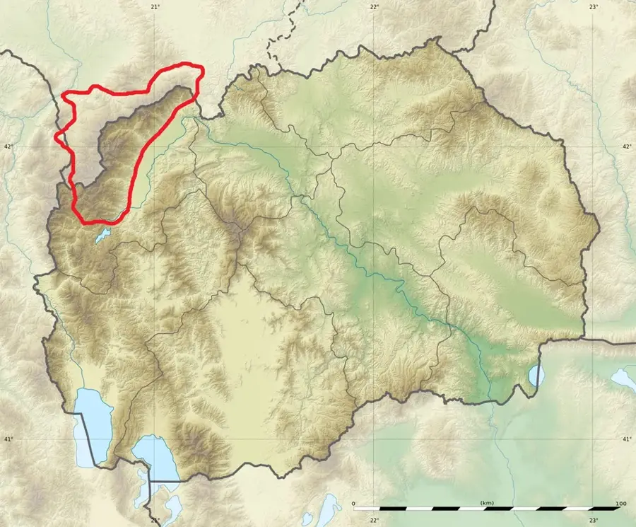
- Restelica is located very close to the tripoint where Kosovo, Albania, and North Macedonia meet.
Explore nearby
Notable places around
Route planner — Car & Motorhome
Where do you start? We build the route here, with stops and country notes along the way.
© OpenStreetMap contributors · OpenRouteService
Sights in the town Restelica (3)
Frequently asked questions
What is Restelica known for?
What language do the residents speak?
How can I reach the village?
What can you do there?
Is the village accessible in winter?
Restelica: where is it located?
Restelica: what is there to see?
Restelica: when is the best time to visit?
Restelica: why is it worth visiting?

Nearby cities


History & landmarks

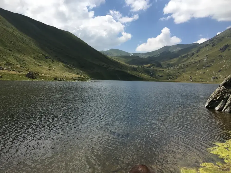
Nature

More places