Plizio Visual Lab
Titov Vrv

Weather…
Water temperature…
Titov Vrv is the highest peak of the Shar Mountains in North Macedonia, reaching an elevation of 2,747 meters above sea level. Located approximately 20 kilometers northwest of the city of Tetovo, it stands as a significant destination for mountaineers and hikers across the Balkan region. Historically known as Golem Turčin, the peak was renamed in 1953 in honor of Josip Broz Tito, the former president of Yugoslavia. The geological composition of the mountain primarily consists of limestone and shale, resulting in a rugged topography with steep ridges. At the summit, there is a small stone tower that functions as a navigational landmark and a basic shelter, though it frequently undergoes repairs due to harsh weather conditions. The area surrounding the peak is noted for its rich alpine flora and has been a site for traditional livestock grazing by local communities for centuries. Due to its high altitude and exposed position, the summit experiences cool temperatures and strong winds even during the summer months. Despite debates regarding its name after the country's independence, it remains widely recognized under its Yugoslav-era designation.
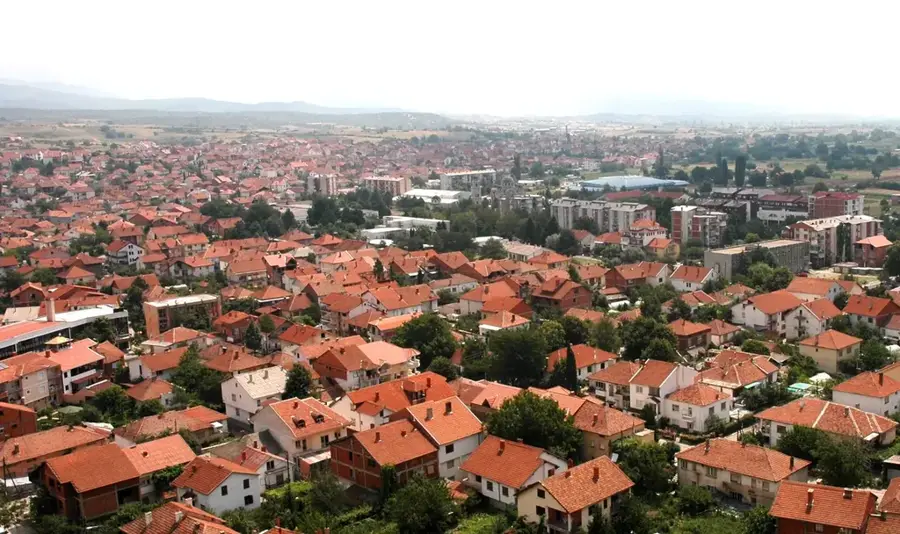
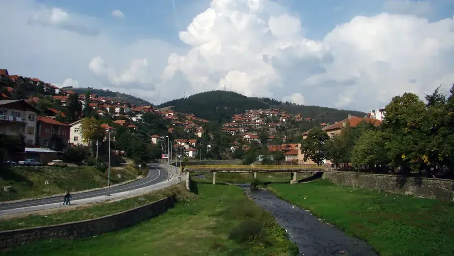
- Location: North Macedonia
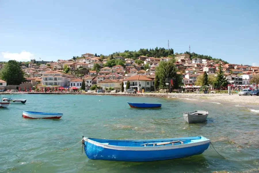
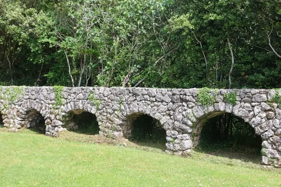
- Top sights: Kulla · Koka e Kaqit
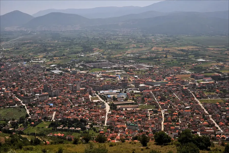
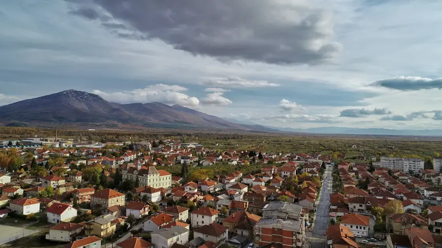
- Nearby: Popova Shapka (13 km)
Best time to visit & climate
The most pleasant time to visit is Jun–Aug.
| Jan | Feb | Mar | Apr | May | Jun | Jul | Aug | Sep | Oct | Nov | Dec | |
|---|---|---|---|---|---|---|---|---|---|---|---|---|
| Avg °C | -2 | -1 | 3 | 7 | 12 | 16 | 20 | 20 | 15 | 10 | 5 | -1 |
| Rain mm | 81 | 73 | 77 | 68 | 75 | 56 | 37 | 38 | 71 | 91 | 102 | 92 |
📋 Practical info
Geography
Facts
- At 2,747 meters, it is the second highest peak in North Macedonia.
- The peak was officially renamed Titov Vrv in 1953.
- A distinctive circular stone tower marks the summit.
- It is part of the central Shar Mountains massif.
- The mountain is located very close to the Kosovo border.
- An annual mass climbing event is held at the site every year.
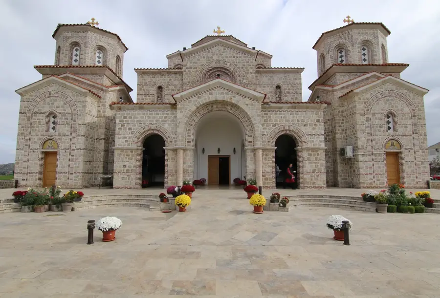
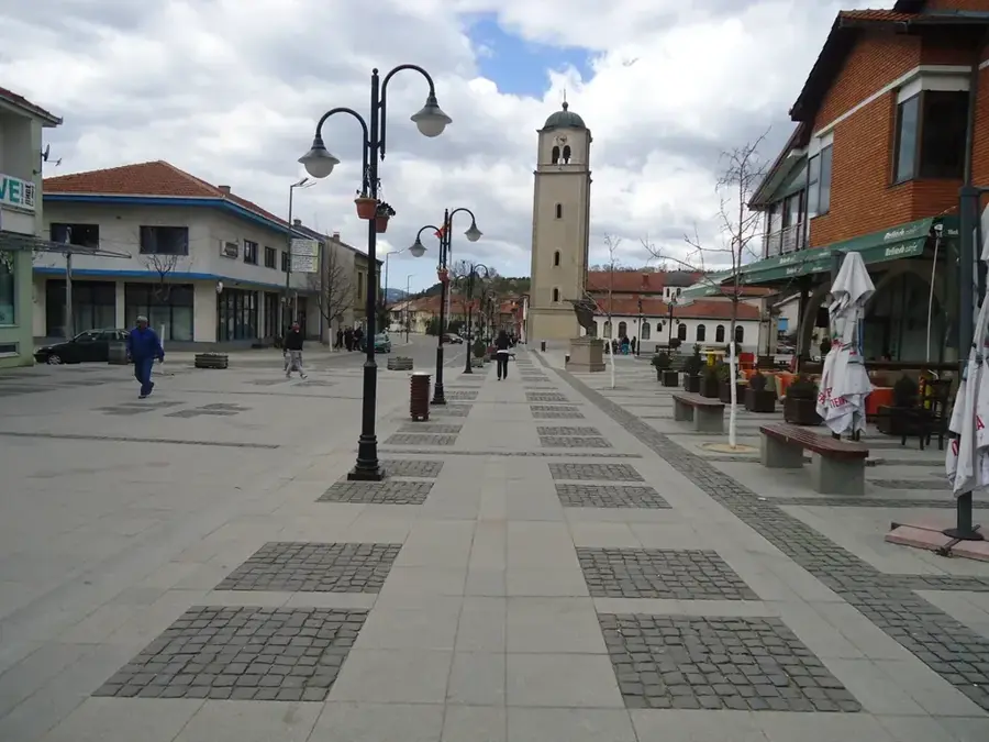
Explore nearby
Notable places around
Route planner — Car & Motorhome
Where do you start? We build the route here, with stops and country notes along the way.
© OpenStreetMap contributors · OpenRouteService
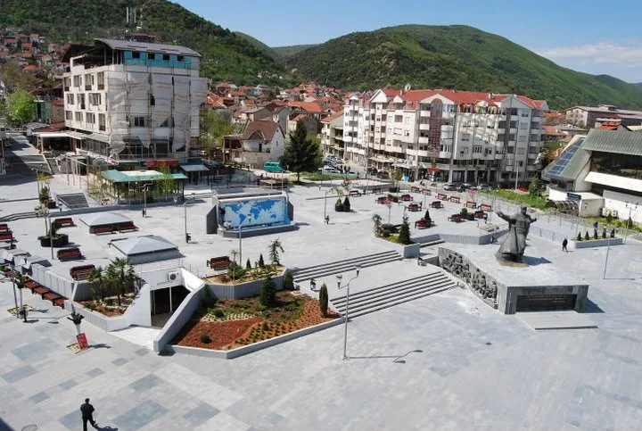
Sights in the town Titov Vrv (2)
Sights nearby
Frequently asked questions
What does the name Titov Vrv mean?
Where is the distinctive tower located?
What is the best starting point for the hike?
How high is Titov Vrv?
Can you ski there?
Titov Vrv: where is it located?
Titov Vrv: what is there to see?
Titov Vrv: when is the best time to visit?
Titov Vrv: why is it worth visiting?

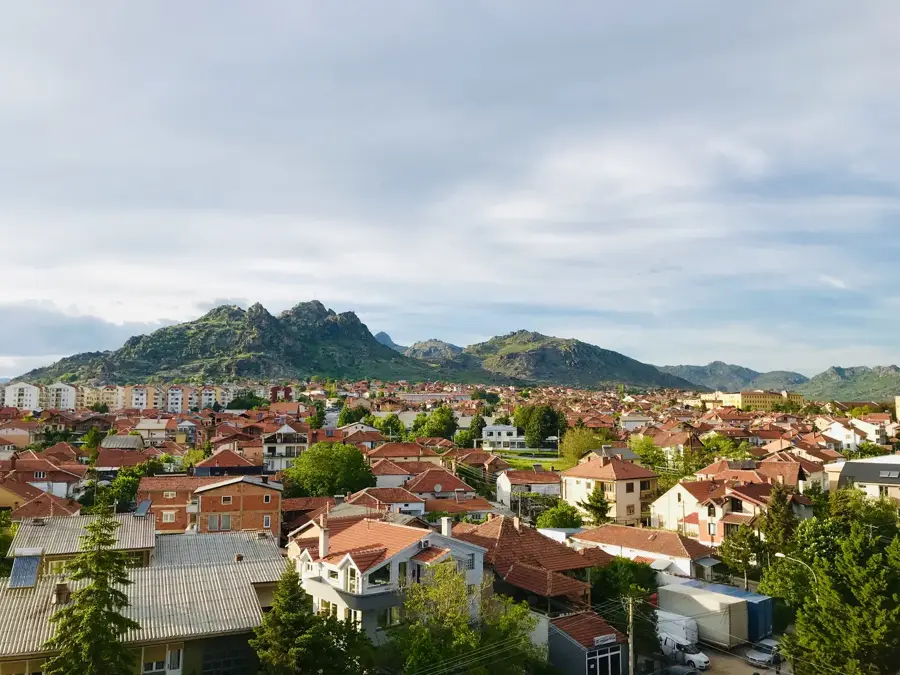
Nearby cities