Plizio Visual Lab
Maja e Gjallicës
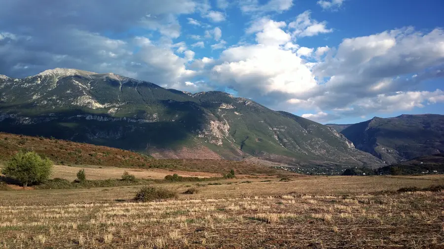
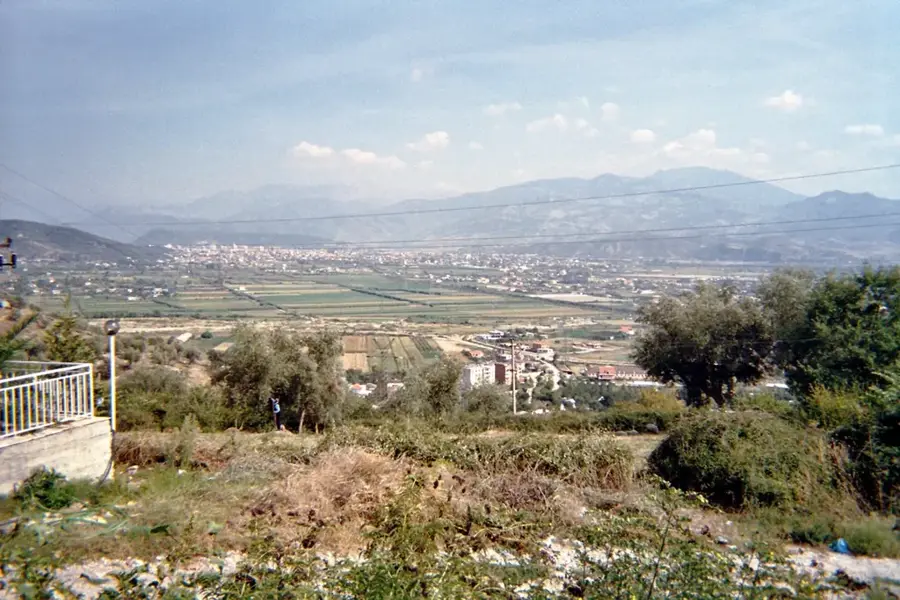
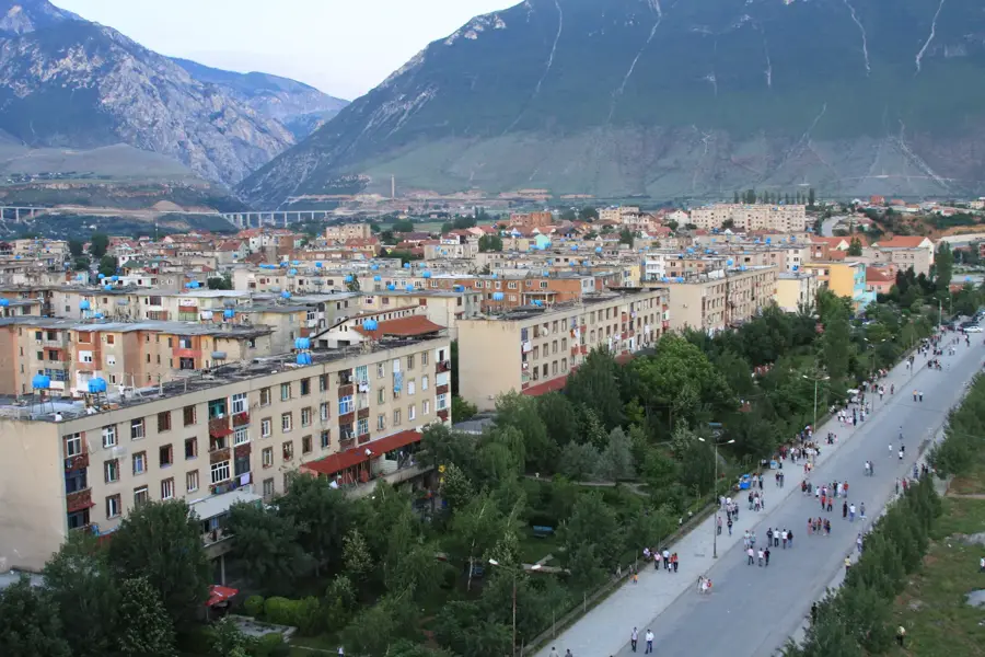
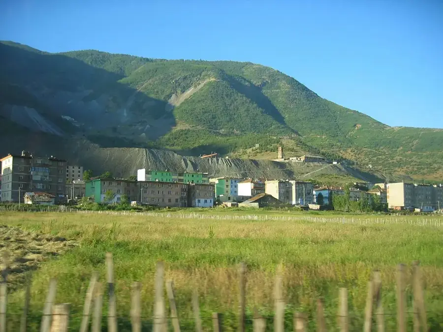
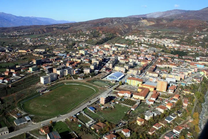
Maja e Gjallicës is the highest peak in the Kukës District of northeastern Albania, reaching an elevation of 2,489 meters above sea level. Geologically, the mountain is composed of massive Triassic and Jurassic limestone, resulting in its sharp ridges and steep rock faces. It dominates the landscape overlooking the city of Kukës and provides panoramic views of the Fierza Reservoir and the confluence of the White and Black Drin rivers. The mountain is part of the Korab-Koritnik Nature Park, serving as a habitat for rare alpine flora and golden eagles. In Albanian folklore, Gjallica is regarded as a sacred mountain, associated with various myths about mountain spirits and local legendary figures. Due to its prominence and altitude, the summit remains snow-capped well into early summer, making it a challenging destination for experienced mountaineers. Traditional pastoralism remains an important part of the local economy, with shepherds using the high-altitude meadows during the summer months. Today, the peak is a focal point for the developing ecotourism industry in the region.
- Location: Albania
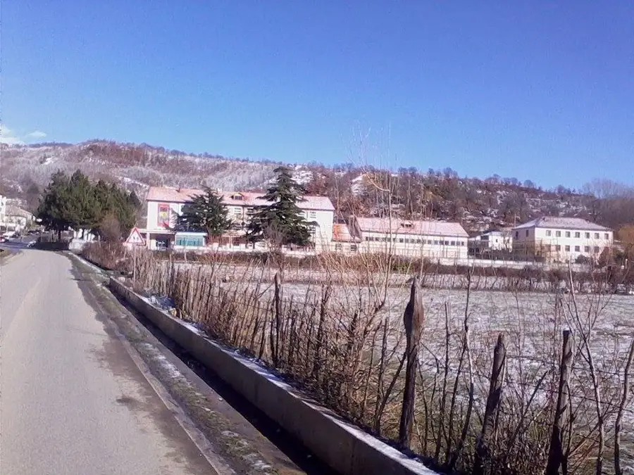
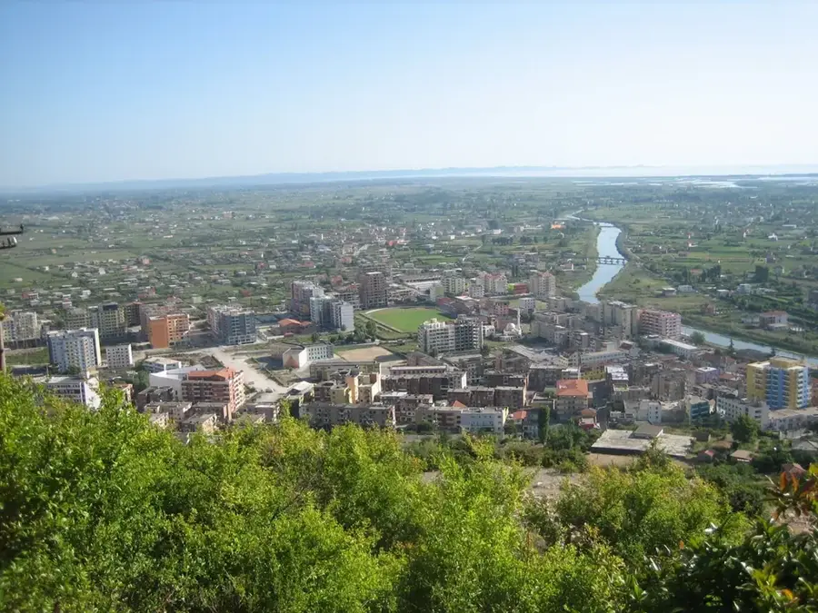
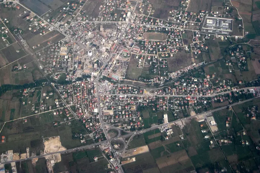
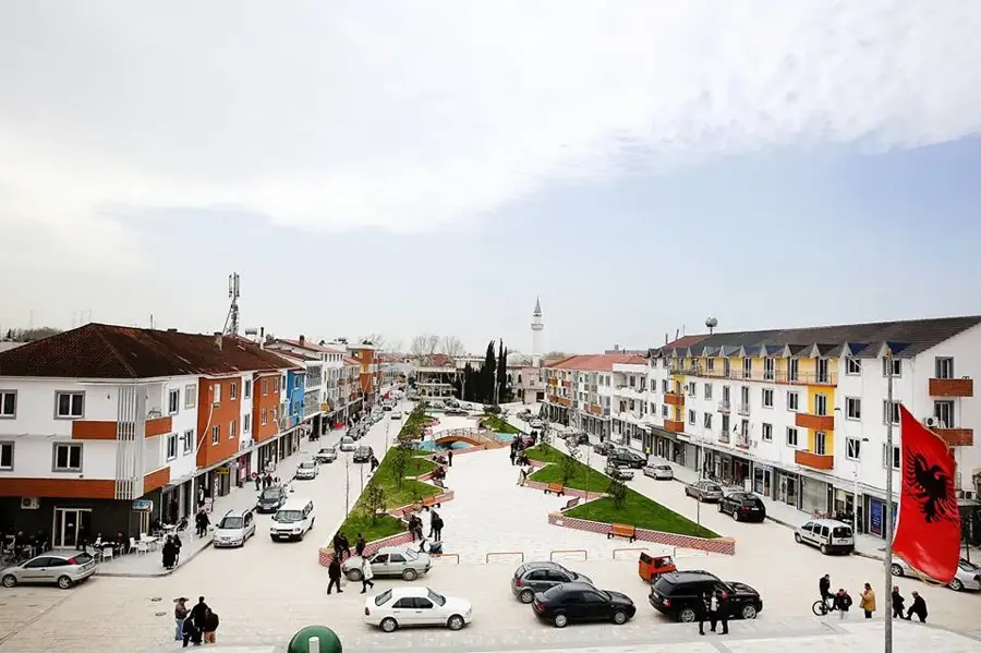
- Nearby: Kukës (7 km)
Best time to visit & climate
The most pleasant time to visit is Jun–Aug.
| Jan | Feb | Mar | Apr | May | Jun | Jul | Aug | Sep | Oct | Nov | Dec | |
|---|---|---|---|---|---|---|---|---|---|---|---|---|
| Avg °C | -2 | -1 | 3 | 7 | 12 | 16 | 20 | 20 | 15 | 10 | 5 | -1 |
| Rain mm | 81 | 73 | 77 | 68 | 75 | 56 | 37 | 38 | 71 | 91 | 102 | 92 |
📋 Practical info
Geography
Facts
- Reaches a total height of 2,489 meters above sea level.
- Primarily composed of Triassic and Jurassic limestone formations.
- Located within the Korab-Koritnik Nature Park borders.
- Overlooks the confluence of the White and Black Drin rivers.
- The summit often retains snow cover until June or July.
- Regarded as a sacred peak in regional Albanian folklore.
Explore nearby
Notable places around
Route planner — Car & Motorhome
Where do you start? We build the route here, with stops and country notes along the way.
© OpenStreetMap contributors · OpenRouteService
Sights in the town Maja e Gjallicës (1)
Sights nearby
Frequently asked questions
Where is Mount Gjallica located?
How high is Gjallica?
What is special about the shape of the mountain?
How long does a hike to the summit take?
What view does the summit offer?
Maja e Gjallicës: where is it located?
Maja e Gjallicës: when is the best time to visit?
Maja e Gjallicës: why is it worth visiting?

Nearby cities