Plizio Visual Lab
Neum Coastline
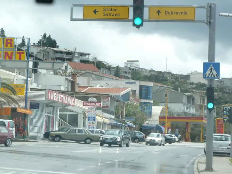
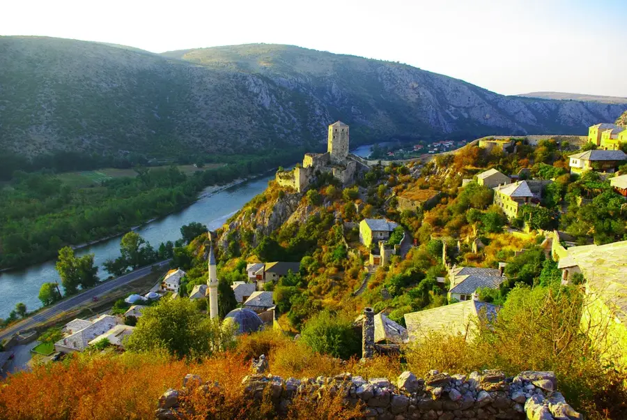
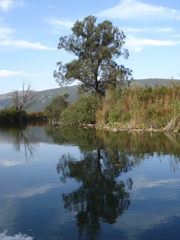
The Neum Coastline represents Bosnia and Herzegovina's only access to the Adriatic Sea, stretching along a narrow corridor of approximately 21 kilometers. This strip of land divides Croatian territory into two parts and is sheltered by the Pelješac Peninsula, which blocks a direct view of the open sea but ensures calm, warm waters within the bay. Geologically, the Bay of Neum is a continuation of the karst landscape, with steep slopes descending directly into the salt water. Protected from strong northern winds by the surrounding mountains, the area enjoys a mild Mediterranean climate that supports the cultivation of olives, grapes, and citrus fruits. Historically, this access to the sea was granted to the Ottoman Empire in 1699 under the Treaty of Karlowitz to serve as a buffer between the Republic of Ragusa and the Republic of Venice. Today, Neum is a thriving tourist destination featuring numerous hotels and apartment complexes that are particularly popular with domestic visitors. The recent completion of the Pelješac Bridge has diverted much of the transit traffic, further enhancing the coastline's appeal.
- Location: Bosnia and Herzegovina
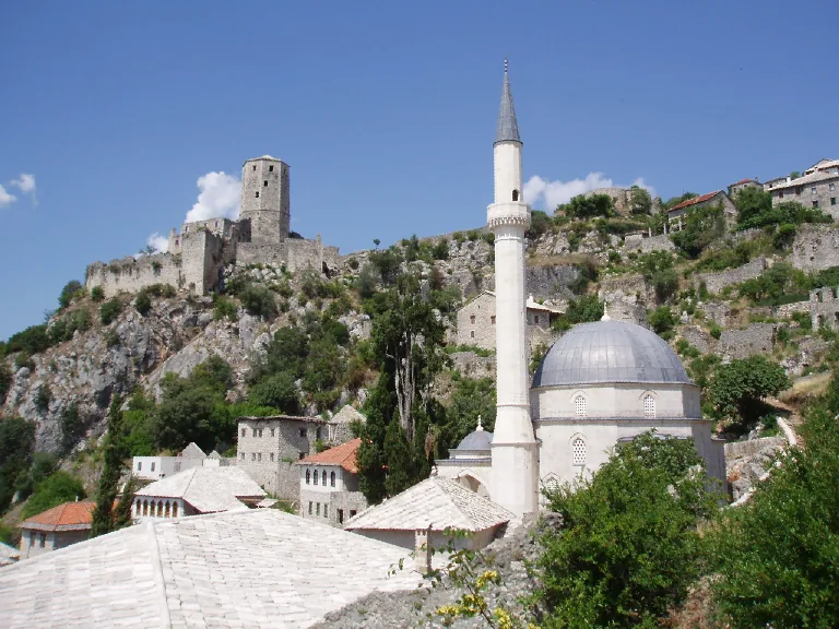
- Top sights: Neum · Neum mosque · Kosa
- Nearby: Neum (10 km)
Best time to visit & climate
The most pleasant time to visit is May, Jun, Sep.
| Jan | Feb | Mar | Apr | May | Jun | Jul | Aug | Sep | Oct | Nov | Dec | |
|---|---|---|---|---|---|---|---|---|---|---|---|---|
| Avg °C | 6 | 7 | 10 | 14 | 18 | 23 | 27 | 27 | 21 | 17 | 12 | 8 |
| Rain mm | 108 | 102 | 95 | 71 | 56 | 47 | 26 | 34 | 81 | 94 | 121 | 121 |
📋 Practical info
Geography
Facts
- The Neum coastline has a total length of approximately 21.2 kilometers.
- Neum is the only coastal municipality in Bosnia and Herzegovina.
- Access to the sea was formally established in 1699 via the Treaty of Karlowitz.
- The Klek Peninsula shields the Neum bay from the open sea.
- The region records more than 2,600 hours of sunshine per year.
- The distance to the Croatian city of Dubrovnik is about 65 kilometers.
Explore nearby
Notable places around
Route planner — Car & Motorhome
Where do you start? We build the route here, with stops and country notes along the way.
© OpenStreetMap contributors · OpenRouteService
Sights in the town Neum Coastline (8)
Žrnjevo
Žrnjevo mountain in Bosnia and Herzegovina.
Mala gradina
Mala gradina mountain in Bosnia and Herzegovina.
Neum Bay
Bay on the Adriatic Sea in Bosnia and Herzegovina.
Malostonski zaljev i Malo more
Protected area in Croatia, part of the Malostonski Bay.
Sights nearby
Frequently asked questions
How long is the coastline of Neum?
Is Neum cheaper than Croatia?
What kind of beaches are there?
Do I need a visa for Neum?
When is the best time to visit Neum?
Neum Coastline: where is it located?
Neum Coastline: what is there to see?
Neum Coastline: when is the best time to visit?
Neum Coastline: why is it worth visiting?
Nearby cities


History & landmarks
Nature
More places