Plizio Visual Lab
East Sarajevo

ℹ️Practical info — East Sarajevo
▾
🌤 Weather — 5 days
📍 Nearby
Sights nearby
💡 Tips
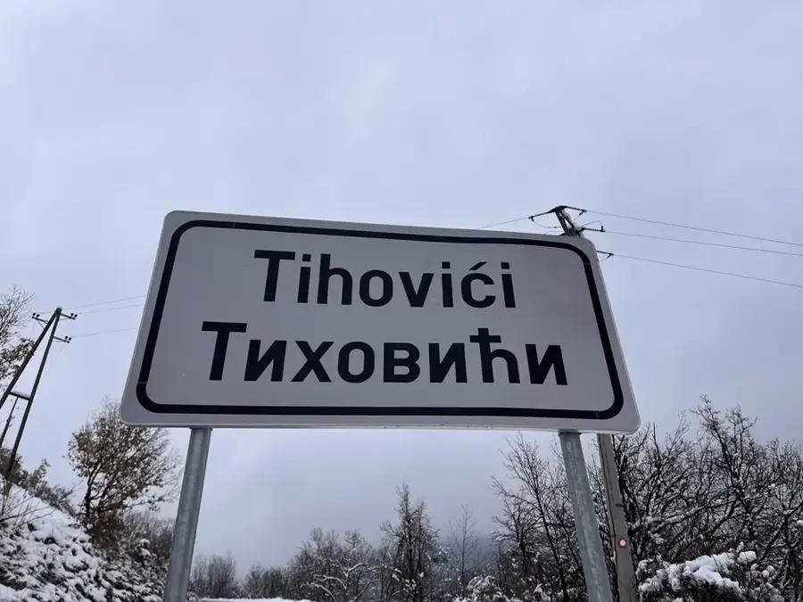
- Note that the city border between Sarajevo and East Sarajevo is fluid; signs in Cyrillic often mark the entry into Republika Srpska.
- Lukavica is the modern heart of the city; here you will find most cafes, shopping centers, and a lively pedestrian zone.
- Use trolleybus line 103 or 107 for a cheap and direct connection to the historic part of Sarajevo.
- Visit the Tvrdimići recreation center at 1,200m altitude for a spectacular view from the Samar viewpoint over the entire valley.
- For adventure seekers, the nearby Romanija cliff provides the 'Sokolov Put' via ferrata with an impressive suspension bridge.
🍽 Food
A must for fish lovers; enjoy fresh trout directly from their own mountain stream pond in a lush garden setting.
Try traditional meat dishes like veal under the 'sač' bell, prepared with ingredients from their own farm.
In the local grill shops in the center, you'll find excellent cevapi in flatbread, often served with kajmak (clotted cream).
🛍 Shopping · 🧘 Quiet spots
The largest shopping mall in Lukavica with a variety of international brands and local boutiques.
Buy fresh honey from the Romanija mountain and traditional smoked cheese directly from the producers here.
A peaceful spot near Pale where the Miljacka river emerges picturesquely from the rocks.
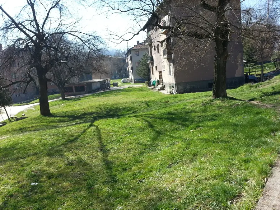
The central city park in Lukavica features relaxation zones and well-kept paths for a relaxed evening stroll.
Water temperature…
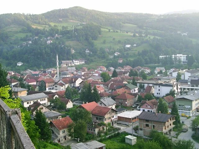
East Sarajevo, known locally as Istočno Sarajevo, serves as a significant administrative, economic, and educational center within the Republika Srpska entity of Bosnia and Herzegovina. It was established following the Dayton Agreement in 1995, primarily from the parts of pre-war Sarajevo that were integrated into the Republika Srpska. The city consists of six municipalities, with Lukavica acting as the modern urban core, hosting government buildings and the University of East Sarajevo. The university, founded in 1992, is one of the leading educational institutions in the country, attracting students from across the region. Geographically, the city is advantaged by its proximity to the Olympic mountains of Jahorina and Bjelašnica, making it a gateway for winter tourism. Over the last three decades, East Sarajevo has seen rapid urban development, marked by extensive residential and commercial construction projects. Today, it stands as a dynamic link between the capital city of Sarajevo and the eastern part of Bosnia.
- Location: Bosnia and Herzegovina
- Top sights: Narodno pozorište Istočno Sarajevo · Nekropola Pavlovac · Park Sunca
- Nearby: Sarajevo Stock Exchange (SASE) (5 km)
- Population: ~696.731
Best time to visit & climate
The most pleasant time to visit is Jun–Aug.
| Jan | Feb | Mar | Apr | May | Jun | Jul | Aug | Sep | Oct | Nov | Dec | |
|---|---|---|---|---|---|---|---|---|---|---|---|---|
| Avg °C | -2 | -1 | 2 | 7 | 12 | 16 | 18 | 18 | 13 | 9 | 4 | -1 |
| Rain mm | 63 | 64 | 69 | 69 | 99 | 103 | 75 | 61 | 77 | 71 | 74 | 73 |
Geography
Facts
- Consists of six municipalities, including Pale and Istočno Novo Sarajevo.
- Home to the University of East Sarajevo, which has over 10,000 students.
- The city has an estimated population of around 60,000 residents.
- Major hub for tourists visiting the Jahorina Olympic Ski Resort.
- Acts as an administrative center for several Republika Srpska institutions.
- Lukavica is the fastest-growing urban area within the city.
Explore nearby
Notable places around
Route planner — Car & Motorhome
Where do you start? We build the route here, with stops and country notes along the way.
© OpenStreetMap contributors · OpenRouteService
Sights in the town East Sarajevo (12)
Frequently asked questions
What is Istočno Sarajevo?
How far is the Jahorina ski resort?
Are there good shopping opportunities?
Where can you stay?
What can you do in the evening?
East Sarajevo: where is it located?
East Sarajevo: what is there to see?
East Sarajevo: when is the best time to visit?
East Sarajevo: why is it worth visiting?
Nearby cities