Plizio Visual Lab
Kravica Waterfalls

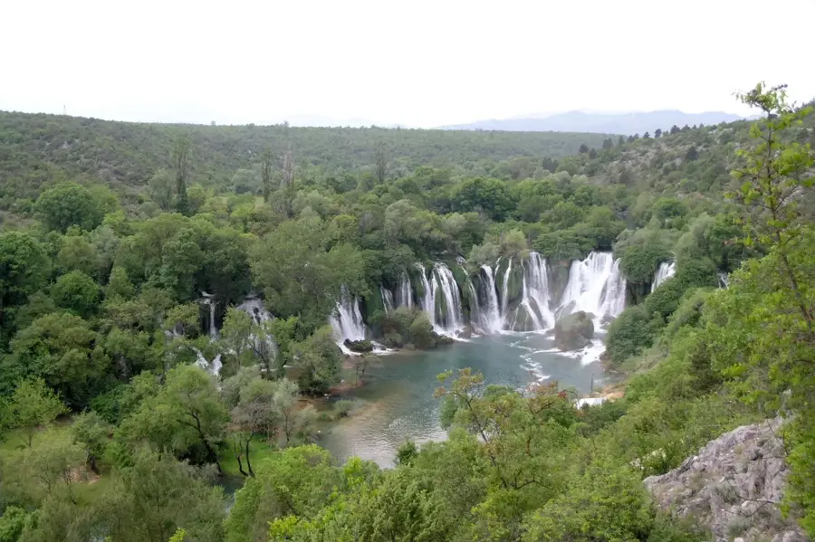
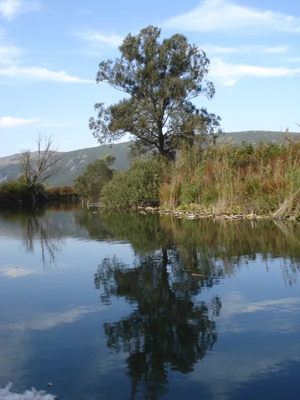
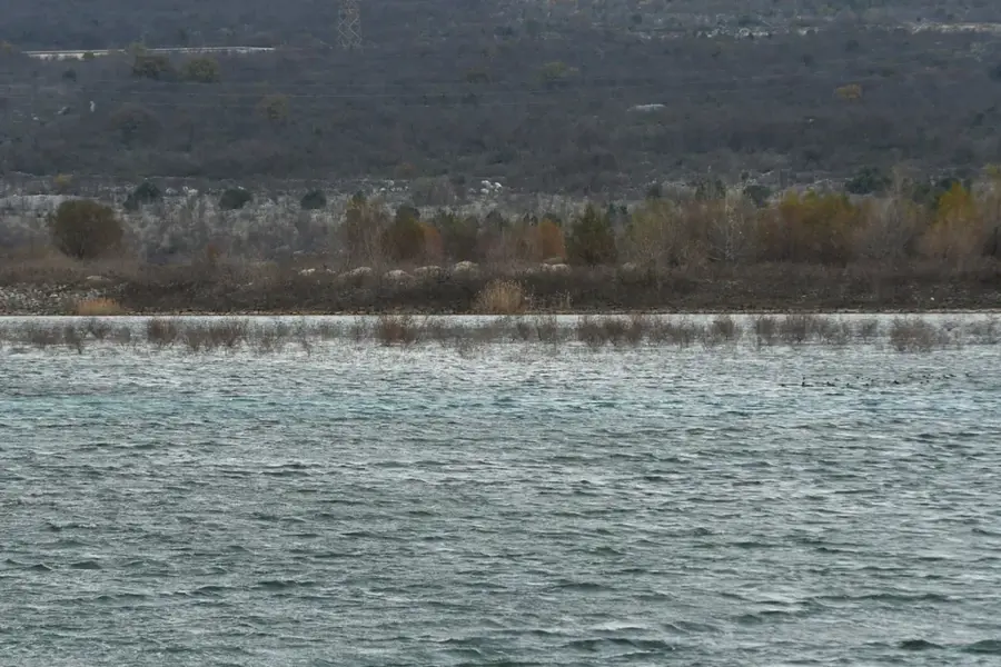
The Kravica Waterfalls are situated on the Trebižat River in the Herzegovina region, approximately 40 kilometers south of Mostar. This geological formation resulted from the deposition of travertine, a porous limestone that created massive barriers in the riverbed over millennia. The cascades reach a height of about 25 meters and stretch across a width of 120 meters, plunging into a semi-circular emerald pool at the base. The surrounding vegetation is characterized by sub-Mediterranean species such as fig trees, poplars, and ferns, which flourish in the high humidity. Historically, the river was vital for local industry, evidenced by the ruins of old stone watermills that once lined the banks. The water flow fluctuates significantly between seasons, altering the falls from a powerful torrent in winter to more delicate streams during the dry summer months. As a protected natural monument, Kravica serves as an important ecological zone, supporting various amphibian and fish species within the Adriatic drainage basin.
- Location: Bosnia and Herzegovina
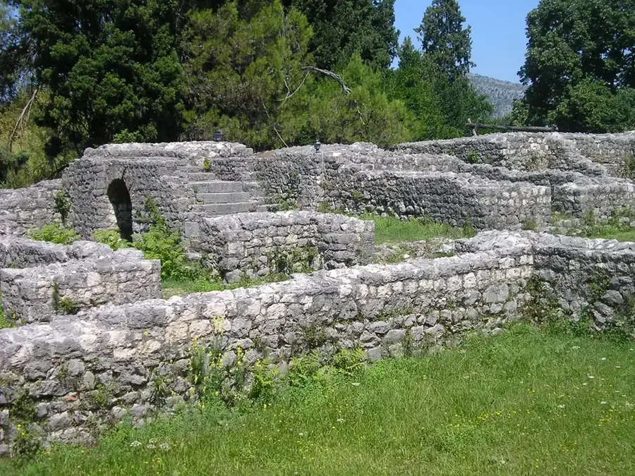
- Top sights: Kravica Waterfall · Nekropola Studenci · Spomen poginulima u Domovinskom ratu
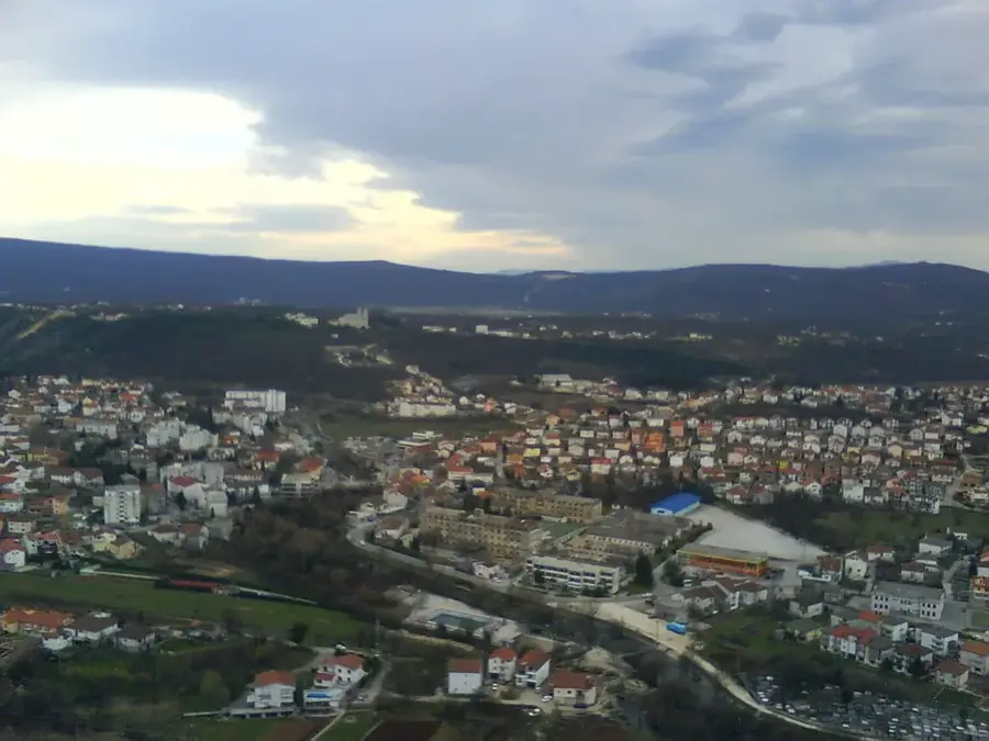
- Nearby: Ljubuški (7 km)
Best time to visit & climate
The most pleasant time to visit is May, Jun, Sep.
| Jan | Feb | Mar | Apr | May | Jun | Jul | Aug | Sep | Oct | Nov | Dec | |
|---|---|---|---|---|---|---|---|---|---|---|---|---|
| Avg °C | 6 | 7 | 10 | 14 | 18 | 23 | 27 | 27 | 21 | 17 | 12 | 8 |
| Rain mm | 108 | 102 | 95 | 71 | 56 | 47 | 26 | 34 | 81 | 94 | 121 | 121 |
📋 Practical info
Geography
Facts
- Waterfall height is approximately 25 meters
- Total width of the cascade reaches 120 meters
- Formed through the process of travertine deposition
- Located on the Trebižat River in Herzegovina
- Water levels peak during the rainy winter season
- Contains ruins of historical stone watermills
Explore nearby
Notable places around
Route planner — Car & Motorhome
Where do you start? We build the route here, with stops and country notes along the way.
© OpenStreetMap contributors · OpenRouteService
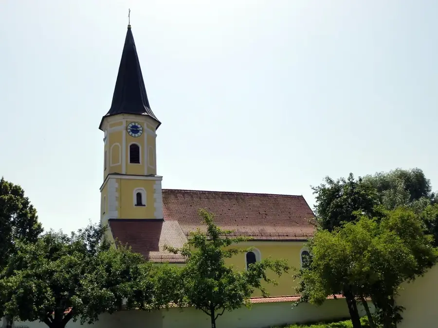
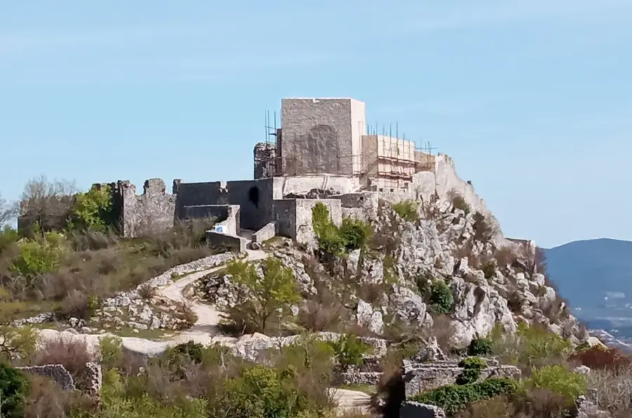
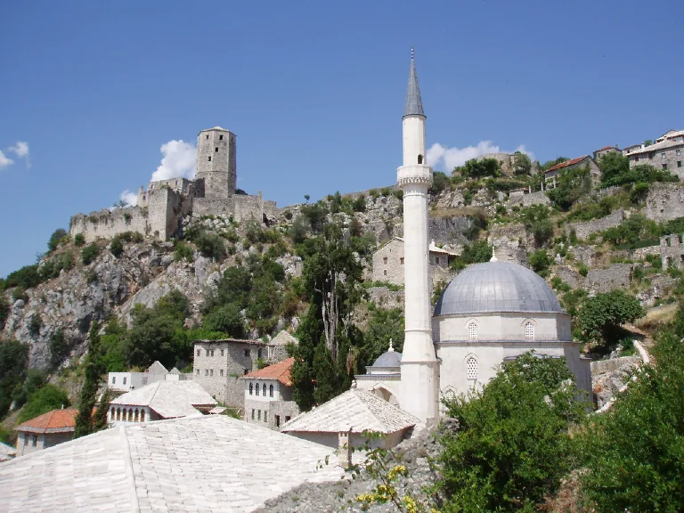
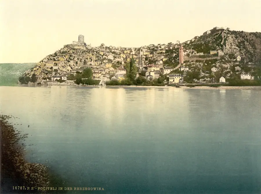
Sights in the town Kravica Waterfalls (4)
Sights nearby
Frequently asked questions
Is swimming allowed at the waterfalls?
What is the water temperature?
Is there a special flora there?
When is the water level highest?
Are there fish in the river?
Kravica Waterfalls: where is it located?
Kravica Waterfalls: what is there to see?
Kravica Waterfalls: when is the best time to visit?
Kravica Waterfalls: why is it worth visiting?
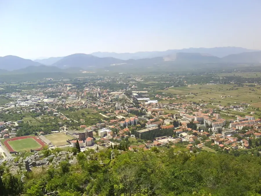
Nearby cities


History & landmarks
Nature
More places