Plizio Visual Lab
Smbataberd Fortress
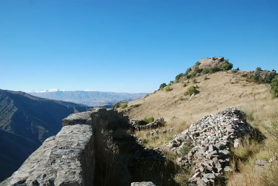
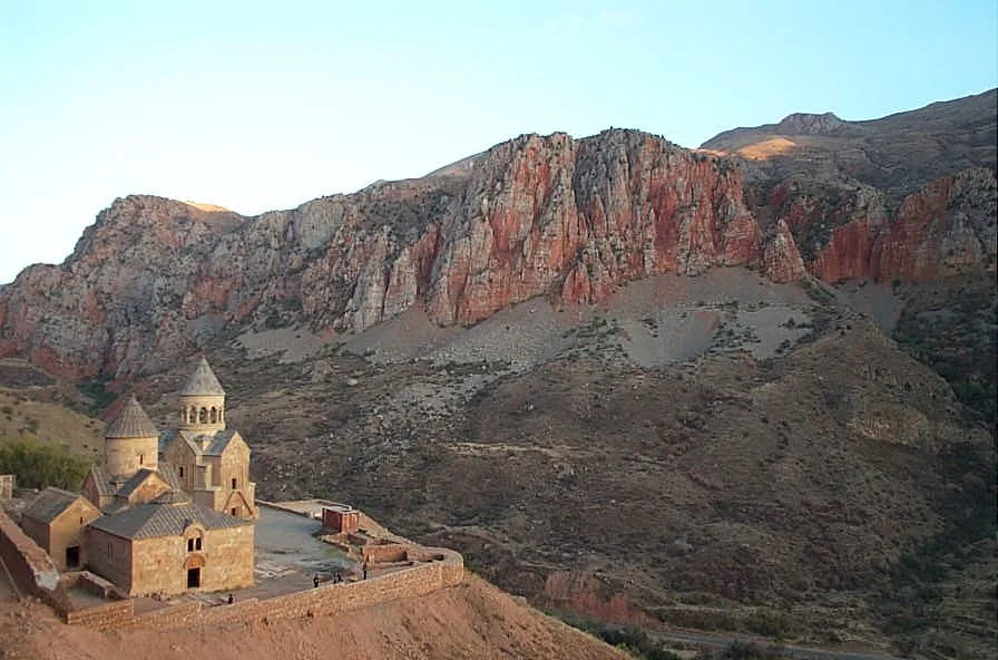
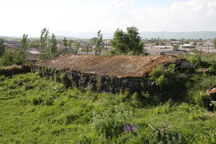
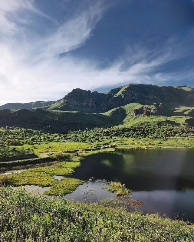
Smbataberd Fortress is one of the most imposing medieval strongholds in the Vayots Dzor province of Armenia. Perched on a narrow mountain ridge, it is naturally defended on three sides by the steep gorges of the Eghegis and Artabuyn rivers. While its foundations likely date back to the 5th century, the fortress was significantly expanded in the 10th century under the patronage of the Syunik princes. The site is composed of northern and southern outposts connected by massive basalt walls that are reinforced with circular towers. A historical legend claims that the fortress only fell to Seljuk invaders because they used thirsty donkeys to discover the hidden underground water pipes. Smbataberd played a vital strategic role in monitoring the trade routes that passed through the mountainous terrain of southern Armenia. The panoramic visibility from its ramparts made it nearly impossible for enemies to approach undetected. Currently, the partially restored fortifications attract many hikers and researchers interested in medieval military engineering.
- Location: Armenia
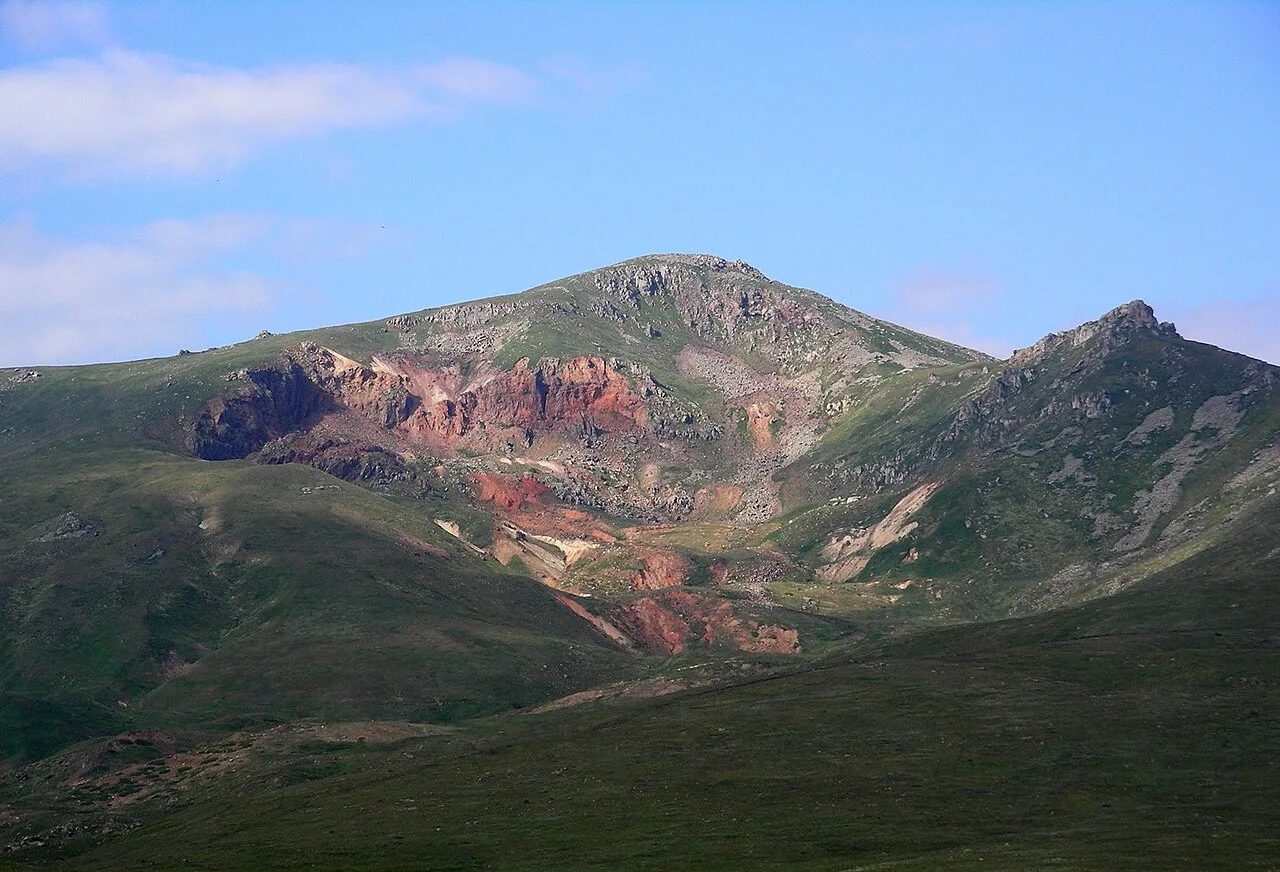
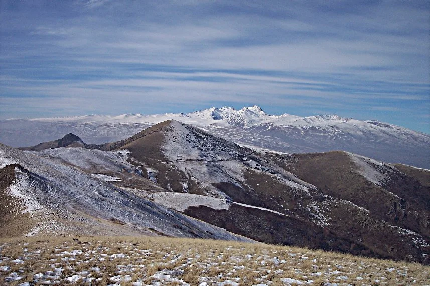
- Top sights: Tapalots · Areguni · Bezoar Goat Observation Point
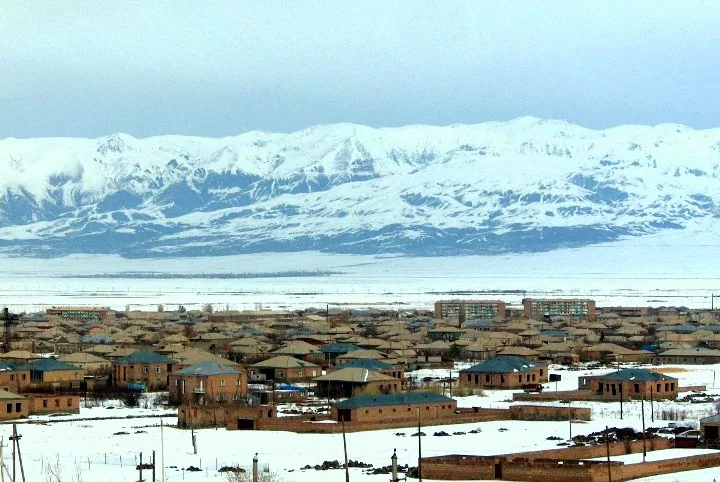
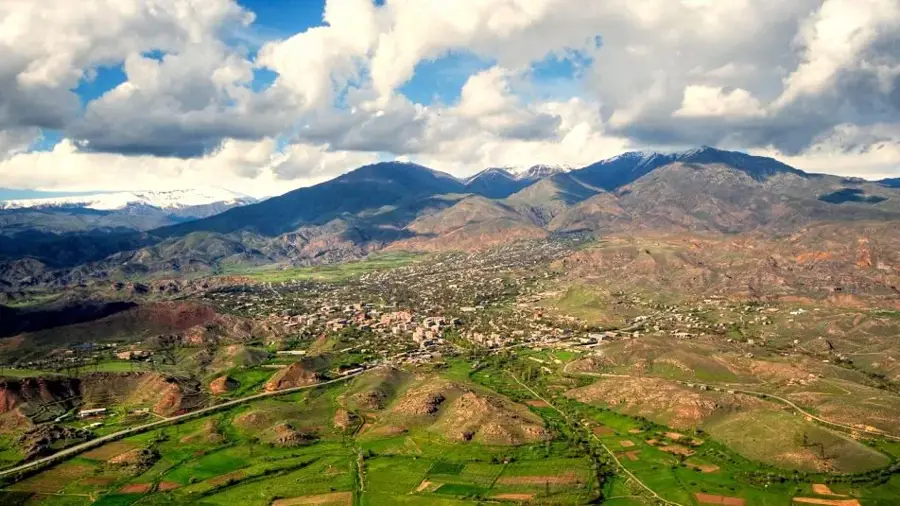
- Nearby: Yeghegnadzor (9 km)
Best time to visit & climate
The most pleasant time to visit is Jul–Sep.
| Jan | Feb | Mar | Apr | May | Jun | Jul | Aug | Sep | Oct | Nov | Dec | |
|---|---|---|---|---|---|---|---|---|---|---|---|---|
| Avg °C | -8 | -6 | -1 | 4 | 9 | 14 | 18 | 18 | 14 | 7 | 0 | -6 |
| Rain mm | 15 | 15 | 29 | 39 | 53 | 41 | 22 | 17 | 21 | 33 | 19 | 14 |
📋 Practical info
Geography
Facts
- Located in the Vayots Dzor Province
- First established around the 5th century AD
- Major expansion occurred in the 10th century
- Walls are built from basalt and mortar
- Legendary fall due to discovery of water pipes
- Named after Prince Smbat of the Orbelian line
Explore nearby
Notable places around
Route planner — Car & Motorhome
Where do you start? We build the route here, with stops and country notes along the way.
© OpenStreetMap contributors · OpenRouteService
Sights in the town Smbataberd Fortress (10)
Sights nearby
Frequently asked questions
What is Festung Smbataberd and why is it known?
How much time should I plan for a visit?
How do you get to Festung Smbataberd?
When is the best time to visit?
Is it family-friendly or accessible?
Smbataberd Fortress: where is it located?
Smbataberd Fortress: what is there to see?
Smbataberd Fortress: when is the best time to visit?
Smbataberd Fortress: why is it worth visiting?

Nearby cities


History & landmarks
Nature
More places