Plizio Visual Lab
Vayk
ℹ️Practical info — Vayk
▾
🌤 Weather — 5 days
📍 Nearby
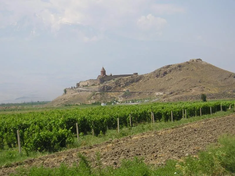
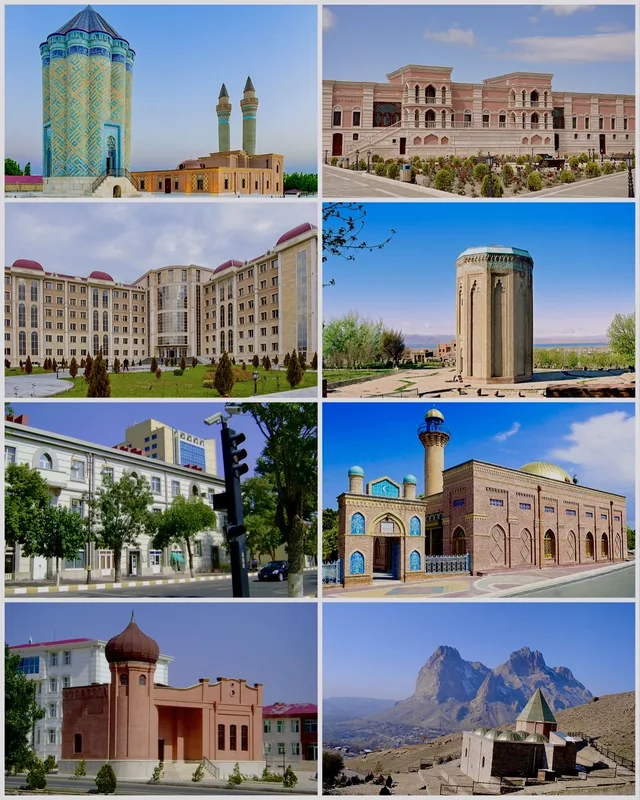
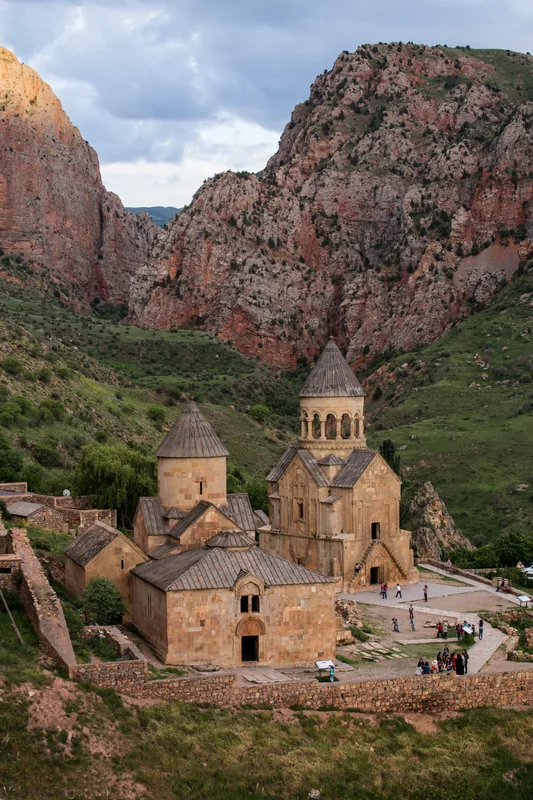
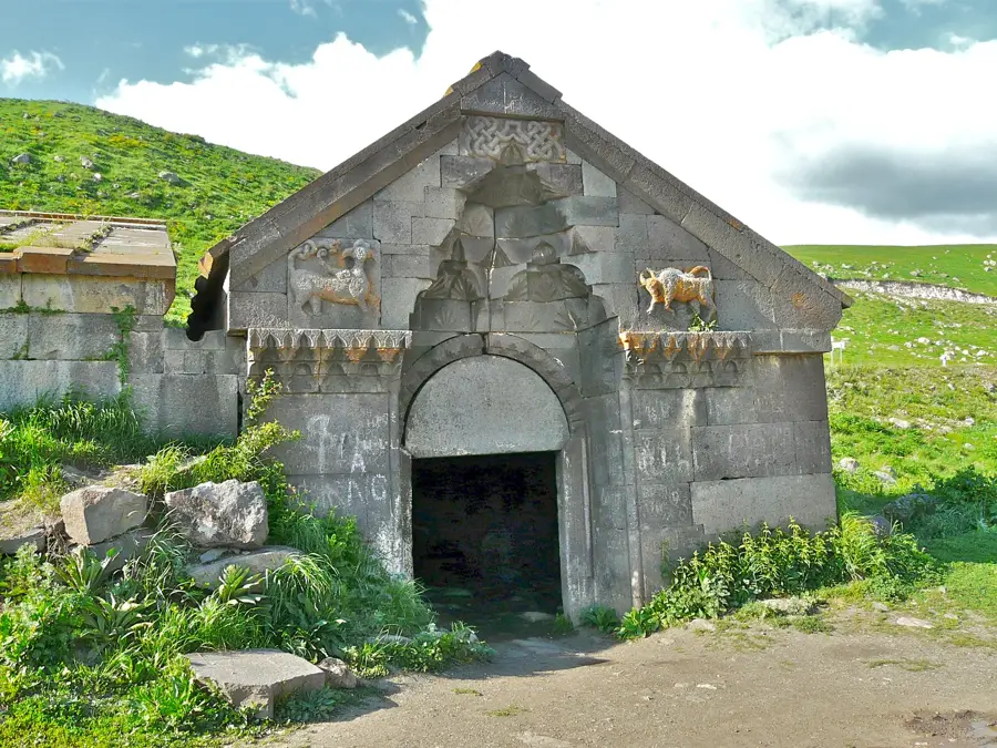
Sights nearby
💡 Tips
- Vayk is a common rest stop on the main highway heading south; gas up and grab snacks here before continuing to more remote areas.
- The valley can get quite hot in summer; plan outdoor activities for early morning or late afternoon.
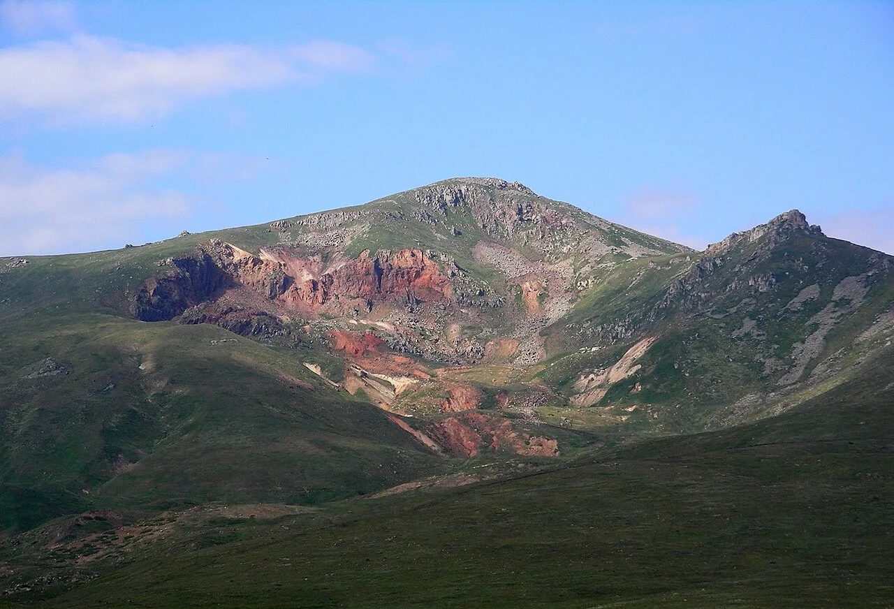
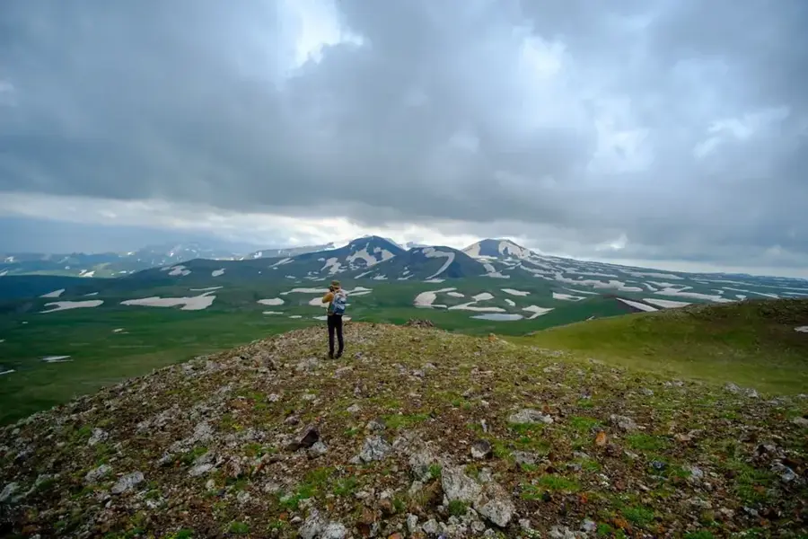
- A hike up into the surrounding hills gives great views of the Vayots Dzor mountains.
- Stop by local roadside stalls to buy seasonal fresh fruits, especially apricots and peaches in the summer.
🍽 Food
Try grilled meats at one of the restaurants along the highway.
Buy this traditional Armenian flatbread fresh out of the oven at a local bakery.
Sweet preserved fruits often served with tea at local cafes.
🛍 Shopping · 🧘 Quiet spots
Buy fresh, regional fruit from the stands along the main road.
Stock up on snacks for your journey at the small grocery stores in the town center.
Find a quiet spot by the river that flows near the town to relax.
Take a walk into the surrounding hills for some peace and fresh air.
Water temperature…
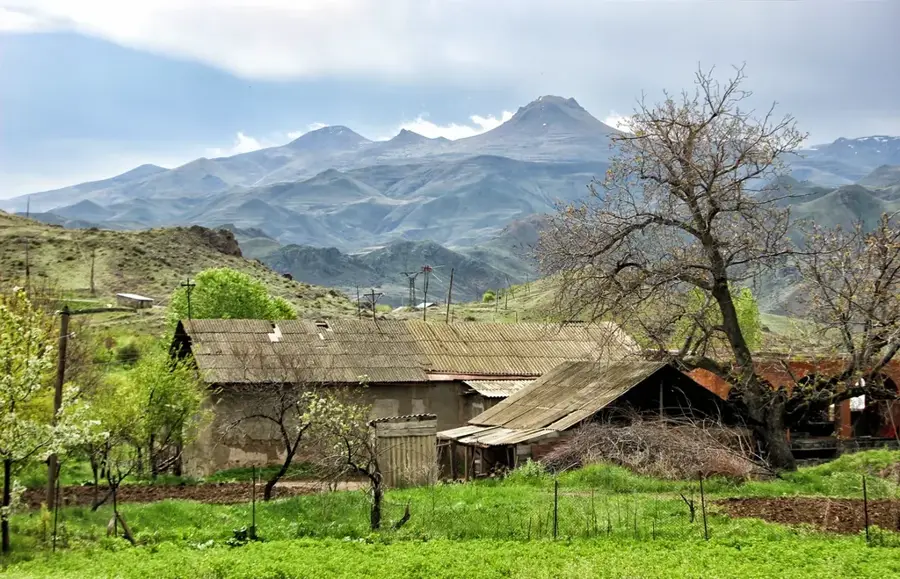
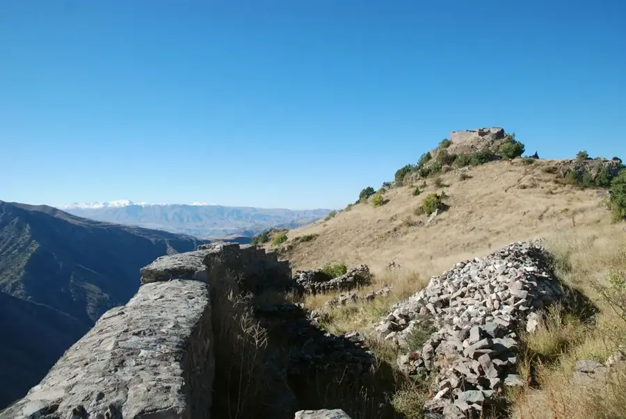
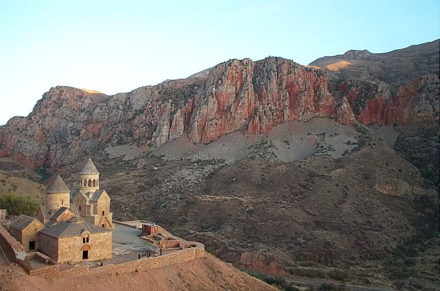
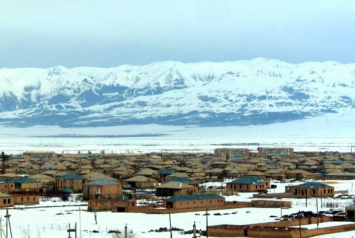
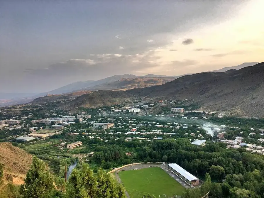
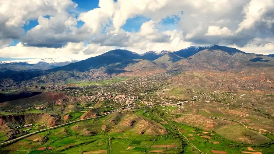
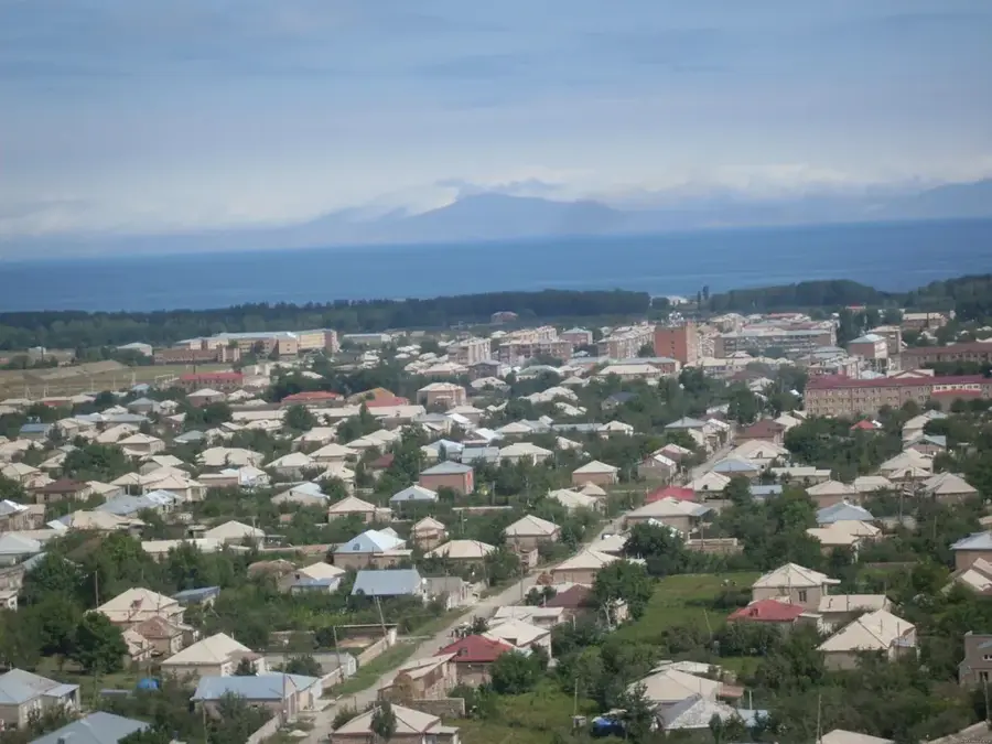
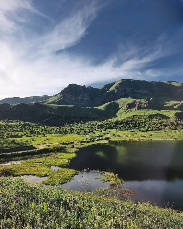
Vayk lies in Vayots Dzor Province at around 1,225 metres altitude on the M-2 highway from Yerevan to Iran, set in a narrow valley of the Arpa River and ringed by rocky, almost desert-dry mountains. The town of about 5,500 inhabitants was called Soyut Aghbyur until 1956, then Azizbekov until 1990 after an Azerbaijani Bolshevik commissar, and since independence has borne the historic name Vayk, an old Armenian term denoting the ancient province whose capital it once was. Today Vayk is best known as a vital transit hub for trucks and travellers heading for Iran and Nagorno-Karabakh, with petrol stations, road-side caravan hotels and small bazaars. Nearby attractions include the mineral springs and caves of Saravoryuts, the gorge of the Yeghegis River with its medieval Jewish cemetery, the Tsakhatskar monastery and excellent hiking routes in the Vardenis mountains.
- Location: Armenia
- Nearby: Yeghegnadzor (16 km)
- Population: ~5.453 (2026)
Best time to visit & climate
The most pleasant time to visit is Jun–Aug.
| Jan | Feb | Mar | Apr | May | Jun | Jul | Aug | Sep | Oct | Nov | Dec | |
|---|---|---|---|---|---|---|---|---|---|---|---|---|
| Avg °C | -5 | -3 | 2 | 7 | 12 | 18 | 21 | 21 | 17 | 10 | 2 | -3 |
| Rain mm | 16 | 16 | 30 | 41 | 52 | 35 | 18 | 13 | 18 | 29 | 20 | 16 |
Geography
Facts
- Located on the strategic M-2 highway.
- Founded in 1828 after the Russo-Persian War.
- Situated on the banks of the Arpa River.
- Population is approximately 5,800 people.
- Elevation is 1,300 meters above sea level.
- Granted city status in the year 1994.
Explore nearby
Notable places around
Route planner — Car & Motorhome
Where do you start? We build the route here, with stops and country notes along the way.
© OpenStreetMap contributors · OpenRouteService
Sights in the town Vayk (1)
Frequently asked questions
How many days do you need for Vayk?
When is the best time to visit Vayk?
How do you get to Vayk?
What should you try there?
Is Vayk family-friendly?
Vayk: where is it located?
Vayk: when is the best time to visit?
Vayk: why is it worth visiting?

Nearby cities

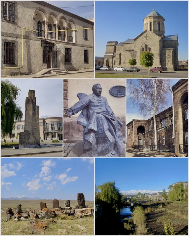
History & landmarks

Nature
More places