Plizio Visual Lab
Zeravshan Range
Weather…
Water temperature…
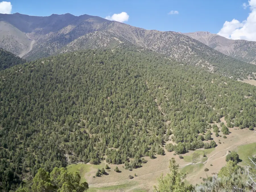
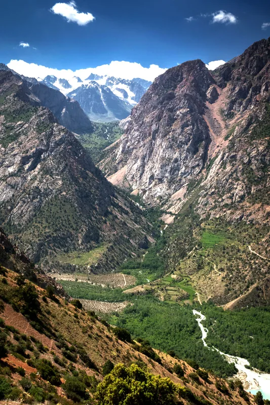
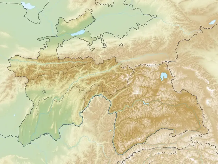
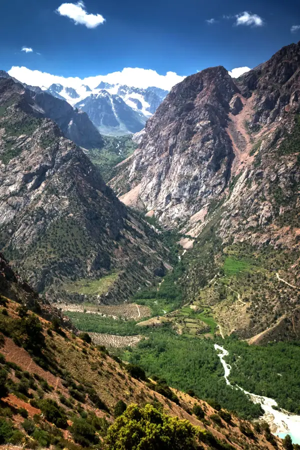
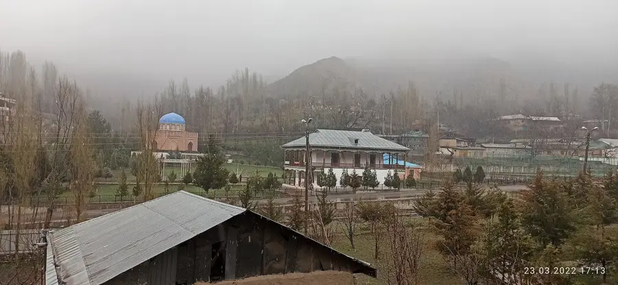
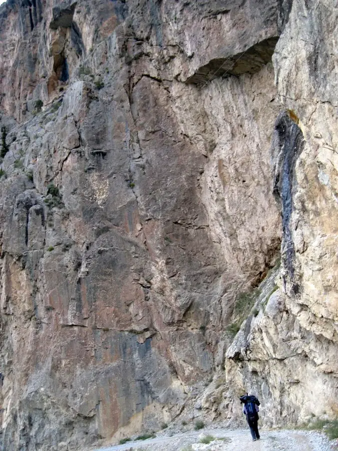
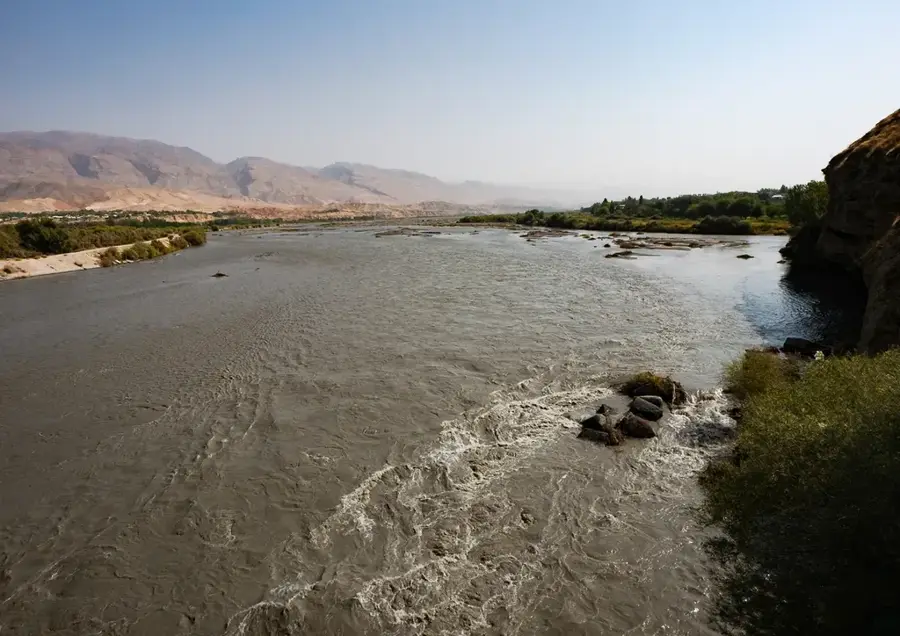
The Zeravshan Range is a prominent mountain chain within the Pamir-Alay system of Central Asia, stretching approximately 370 kilometers across Tajikistan and Uzbekistan. It runs south of the Zeravshan River and reaches its greatest elevation at Mount Chimtarga, which marks the highest point at 5,489 meters. The range is famous for the Fann Mountains, a subgroup renowned for its spectacular high-altitude lakes, such as Iskanderkul. Geologically, the range is characterized by limestone and schist formations, resulting in deep gorges and sharp peaks. The region plays a crucial role in the water balance of the surrounding oases, as numerous rivers are fed by the range's glaciers. Historically, the area was closely linked to the city of Samarkand and formed a natural protective barrier along the Silk Road. Today, the Zeravshan Range is a popular destination for mountaineers and trekking tourists from around the world. The diverse climatic zones within the mountains support a rich flora, ranging from steppe vegetation to alpine meadows.
- Location: Tajikistan
- Nearby: Roghun (34 km)
Best time to visit & climate
The most pleasant time to visit is Jun–Aug.
| Jan | Feb | Mar | Apr | May | Jun | Jul | Aug | Sep | Oct | Nov | Dec | |
|---|---|---|---|---|---|---|---|---|---|---|---|---|
| Avg °C | -10 | -9 | -3 | 3 | 8 | 13 | 16 | 15 | 10 | 4 | -3 | -8 |
| Rain mm | 34 | 48 | 56 | 54 | 37 | 14 | 5 | 2 | 2 | 13 | 34 | 36 |
📋 Practical info
Geography
Facts
- The highest peak is Chimtarga at 5,489 meters
- The total length of the range is about 370 kilometers
- Includes the famous Fann Mountains and Iskanderkul Lake
- Geological composition consists mostly of limestone and schist
- Primary water source for agriculture in Samarkand region
- Habitat for rare species such as the Turkestan lynx
Explore nearby
Notable places around
Route planner — Car & Motorhome
Where do you start? We build the route here, with stops and country notes along the way.
© OpenStreetMap contributors · OpenRouteService
Sights nearby
Frequently asked questions
What is special about this range?
Is trekking gear important?
How are the accommodations?
Can one climb the peaks without a guide?
What currency is needed?
Zeravshan Range: where is it located?
Zeravshan Range: when is the best time to visit?
Zeravshan Range: why is it worth visiting?

Nearby cities


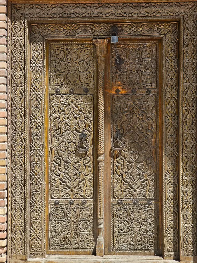
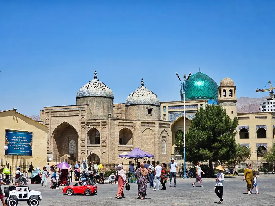
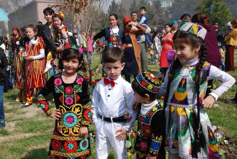
History & landmarks
Nature
More places