Plizio Visual Lab
Zafarobod
ℹ️Practical info — Zafarobod
▾
🌤 Weather — 5 days
📍 Nearby
Sights nearby
💡 Tips
- Admire the massive irrigation canals that form the backbone of local agriculture.
- Visit the city during the cotton harvest in autumn to understand the enormous importance of this industry.
- Respect the work in the fields and ask for permission before photographing workers.
- The city is laid out in a grid pattern, making orientation very easy.
🍽 Food
Freshly prepared shashlik is a popular meal here for the lunch break.
Seasonal fruits from surrounding plantations are fresh and very cheap.
Flatbread is often sold here in small bakeries right near the fields.
🛍 Shopping · 🧘 Quiet spots
A great place to observe rural life and buy supplies.
Look for simple but high-quality textiles made from local cotton.
The paths along the irrigation canals offer wide views over the fields.
A small park in the center that is a popular meeting spot for families in the evening.
Water temperature…
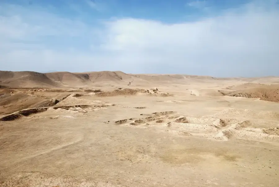
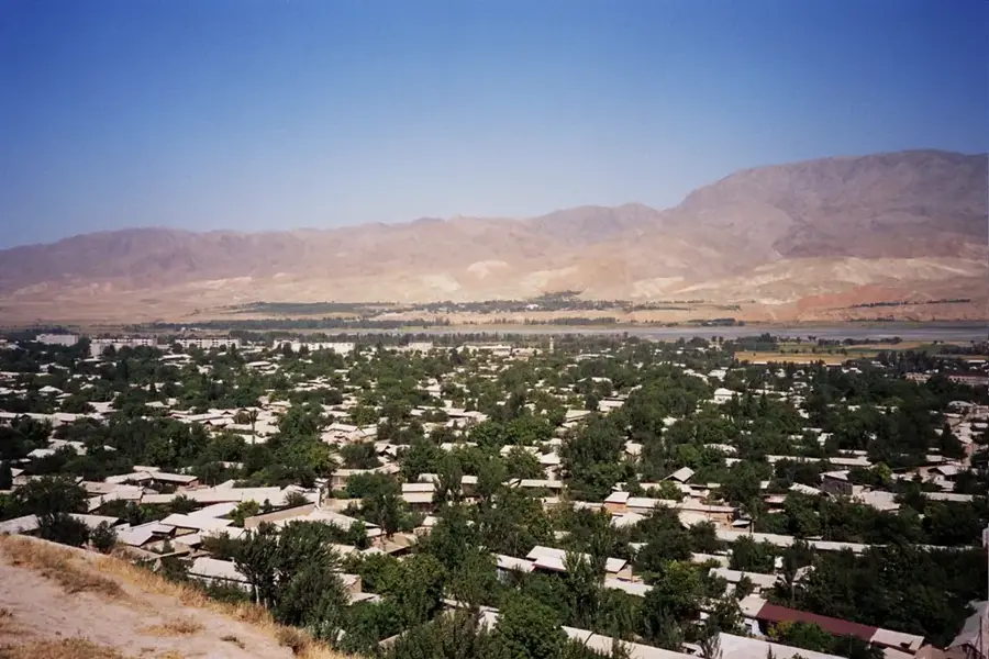
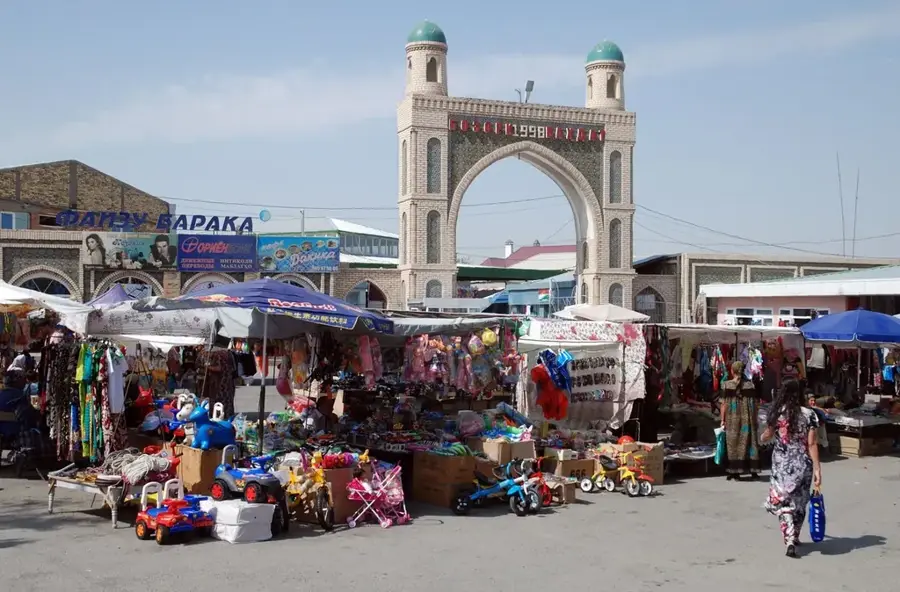
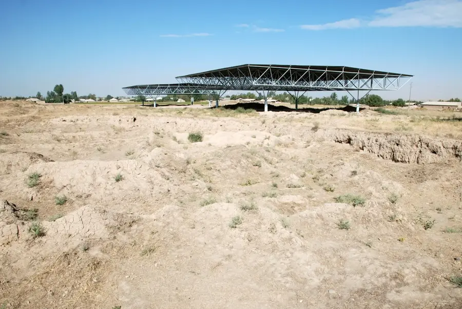
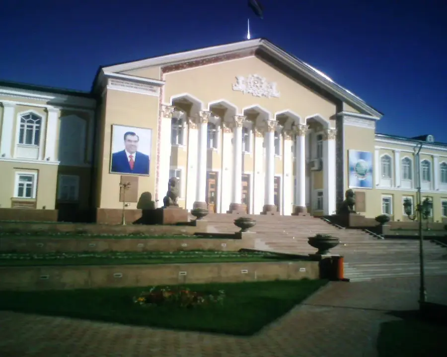
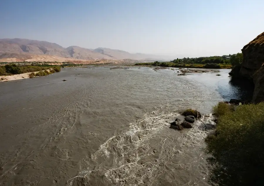
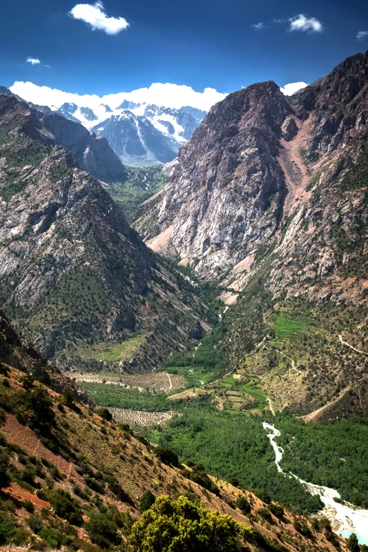
Zafarobod, in the north of Sughd Province, was founded in 1956 as a Soviet “virgin lands” project, when wide stretches of the Mirzachoʻl steppe were brought under cultivation through a massive irrigation system. Water diverted from the Syr Darya and through the Bekabad, Bechi-Saman canal-tunnel turned the semi-desert plain into a productive cotton-growing area that is still among the country’s highest yielding. Today the surrounding district is home to about 65,000 people, around 12,000 of whom live in the town of Zafarobod itself. The local economy remains heavily reliant on cotton but has diversified into fruit, sunflower, and soybean production. The town itself follows a strict Soviet grid layout with broad shaded avenues. Because the district lies in an isolated wedge between Uzbekistan and the rest of Sughd, the Dushanbe, Chanok tunnel highway is essential to its accessibility.
- Location: Tajikistan
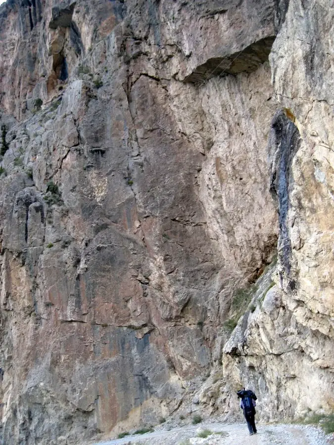
- Nearby: Ayni (35 km)
Best time to visit & climate
The most pleasant time to visit is May, Jun, Sep.
| Jan | Feb | Mar | Apr | May | Jun | Jul | Aug | Sep | Oct | Nov | Dec | |
|---|---|---|---|---|---|---|---|---|---|---|---|---|
| Avg °C | 2 | 3 | 9 | 15 | 21 | 26 | 28 | 27 | 21 | 14 | 7 | 2 |
| Rain mm | 24 | 38 | 43 | 40 | 30 | 11 | 4 | 3 | 3 | 16 | 29 | 32 |
Geography
Facts
- The city was established in 1960 as the administrative center for the new district.
- Zafarobod is situated in one of the most arid regions of Tajikistan.
- Water supply is primarily managed via pumping stations on the Syr Darya river.
- The original settlers were primarily relocated from the mountainous Mastcho District.
- The city features a strictly grid-based urban street layout.
- Zafarobod is a key contributor to the Sughd Region's cotton export economy.
Explore nearby
Notable places around
Route planner — Car & Motorhome
Where do you start? We build the route here, with stops and country notes along the way.
© OpenStreetMap contributors · OpenRouteService
Sights in the town Zafarobod (1)
Frequently asked questions
What is Zafarobod?
Is it worth seeing?
Best time to visit?
Transport?
Accommodation?
Zafarobod: where is it located?
Zafarobod: when is the best time to visit?
Zafarobod: why is it worth visiting?

Nearby cities


History & landmarks
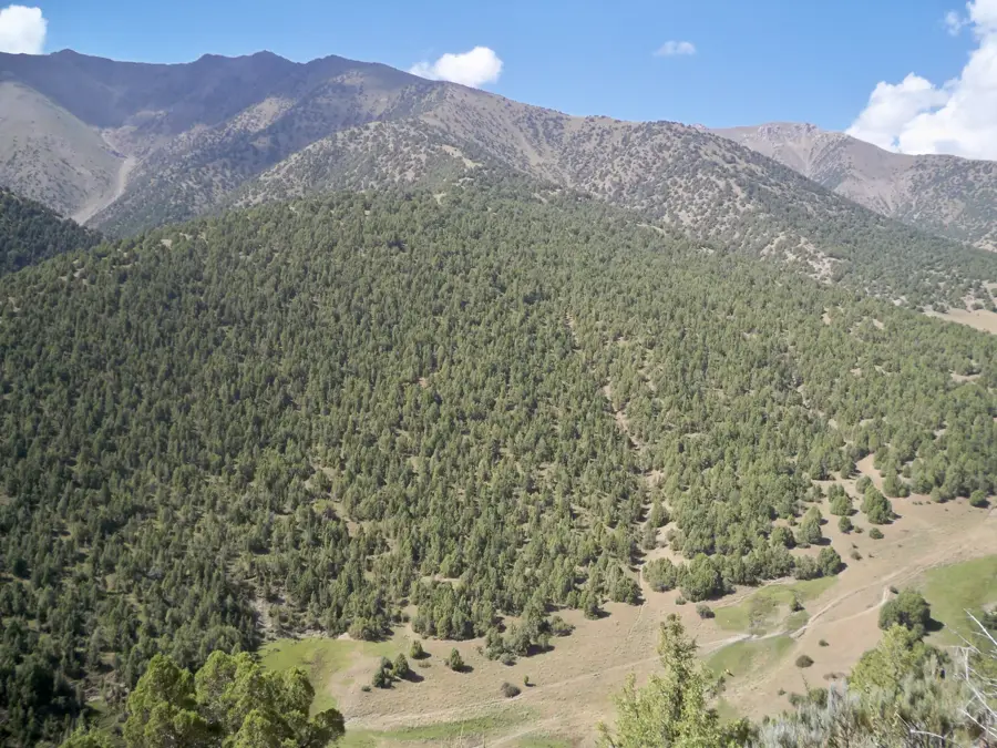
Nature
More places