Plizio Visual Lab
Fergana Valley (Tajik part)
Weather…
Water temperature…
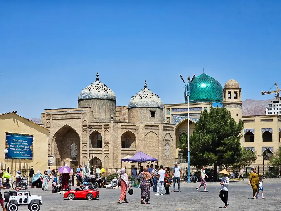
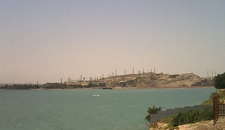
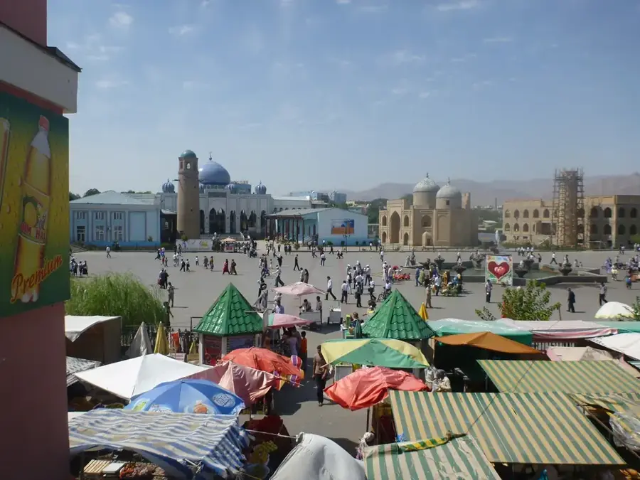
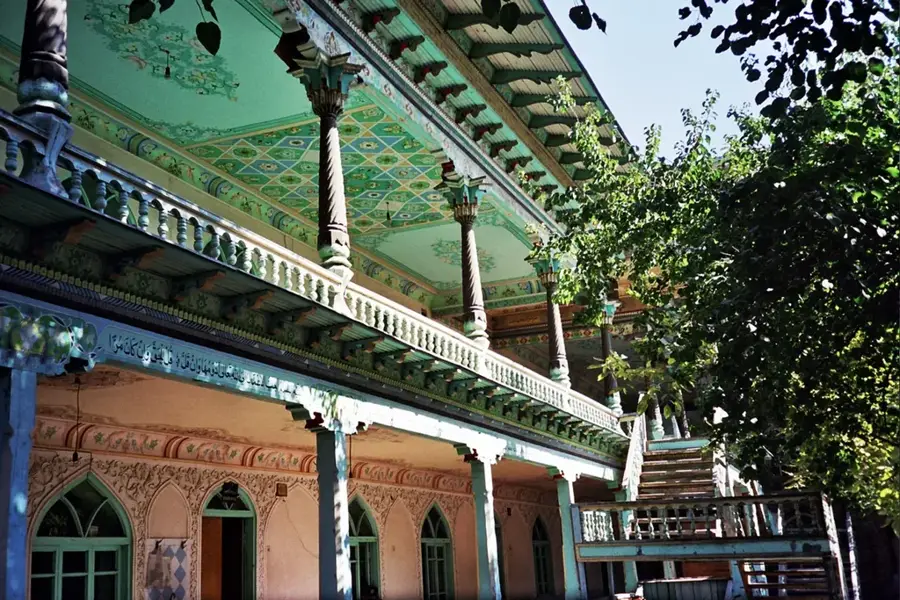
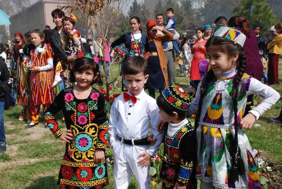
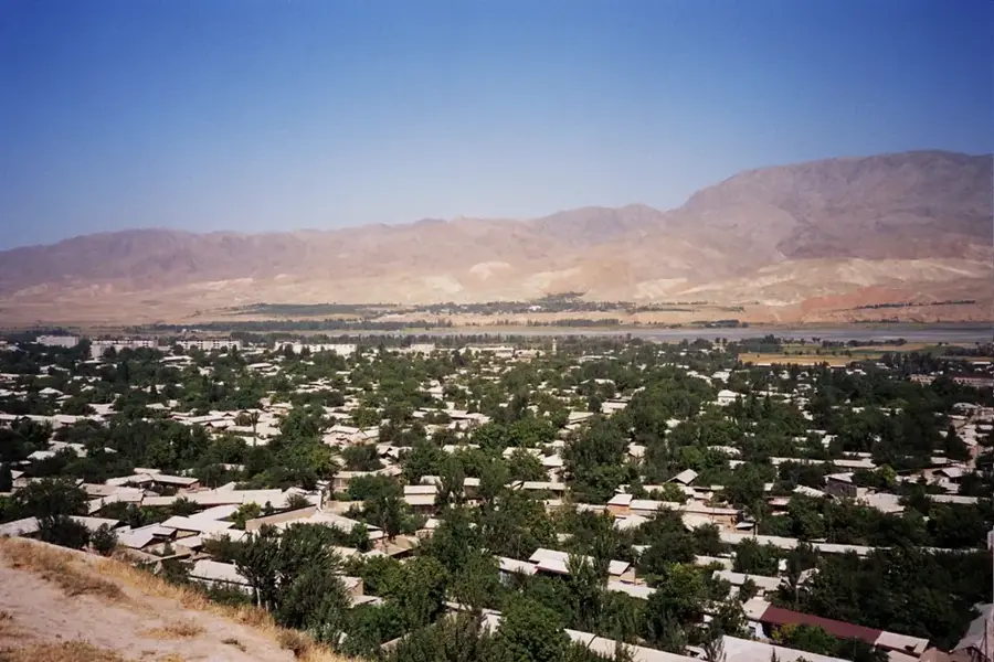
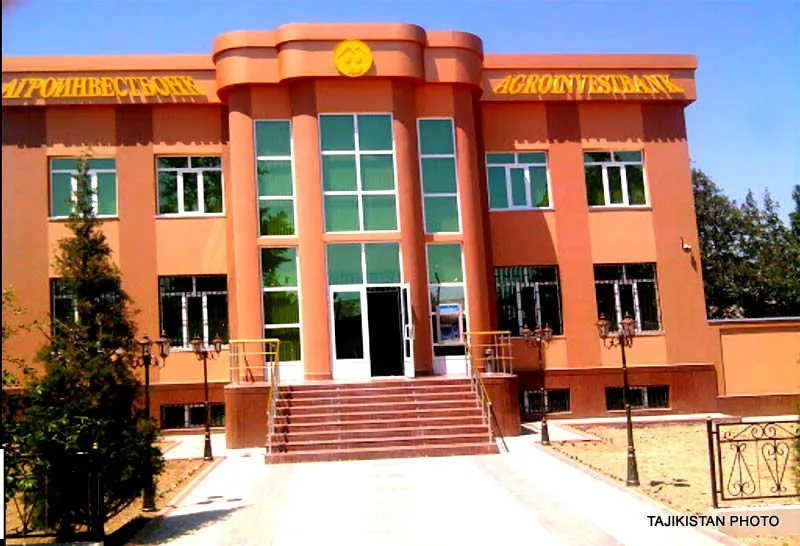
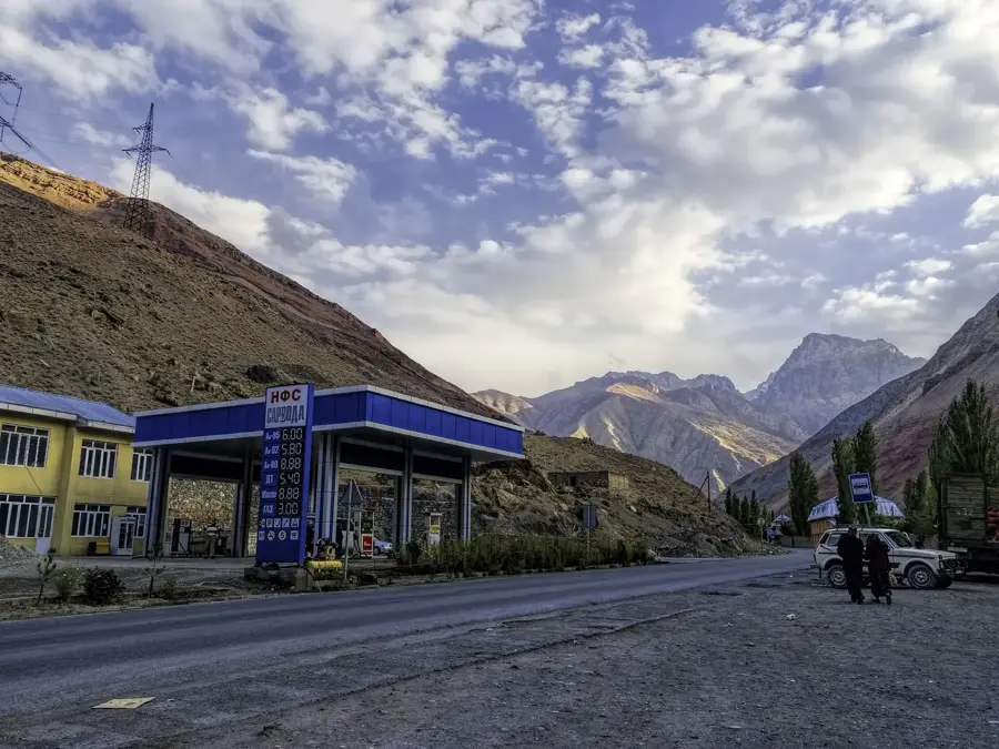
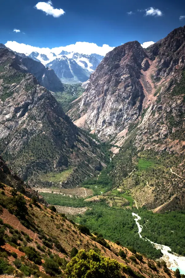
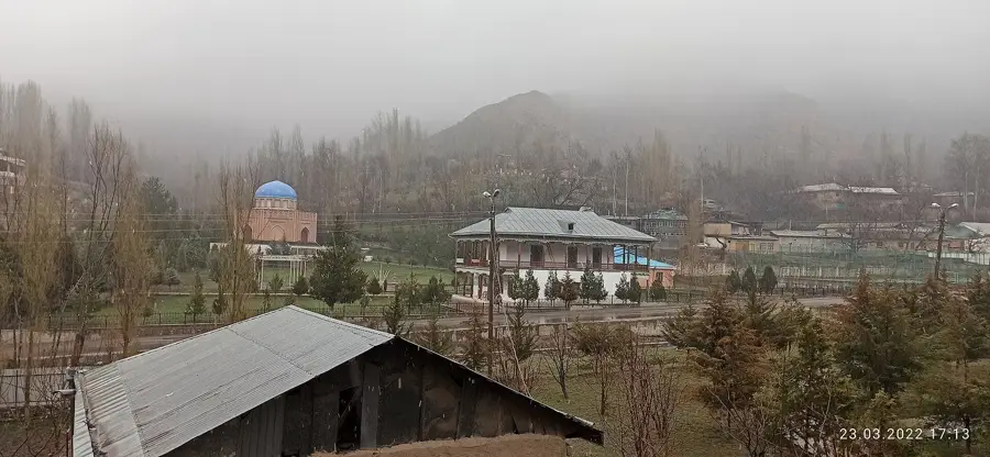
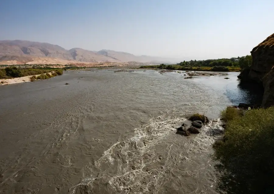
The Tajik part of the Fergana Valley forms the northwestern panhandle of Tajikistan and is one of the most densely populated regions in Central Asia. This fertile lowland is traversed by the Syr Darya river, which provides the lifeblood for intensive irrigation-based agriculture. The region is centered around the Sughd Province and the historic city of Khujand, once a key hub on the Silk Road. Unlike the rest of mountainous Tajikistan, this part of the valley features flat terrain and a milder continental climate, facilitating large-scale cultivation of cotton, rice, and apricots. The Kayrakkum Reservoir, often referred to as the 'Tajik Sea,' serves both irrigation needs and as a popular recreational area. The valley's strategic location has made it a cultural melting pot for centuries, where diverse ethnic groups coexist. Geopolitically, the region is characterized by complex boundaries with Uzbekistan and Kyrgyzstan, posing unique administrative challenges. Today, the Tajik portion of the Fergana Valley remains an industrial and economic powerhouse for the nation.
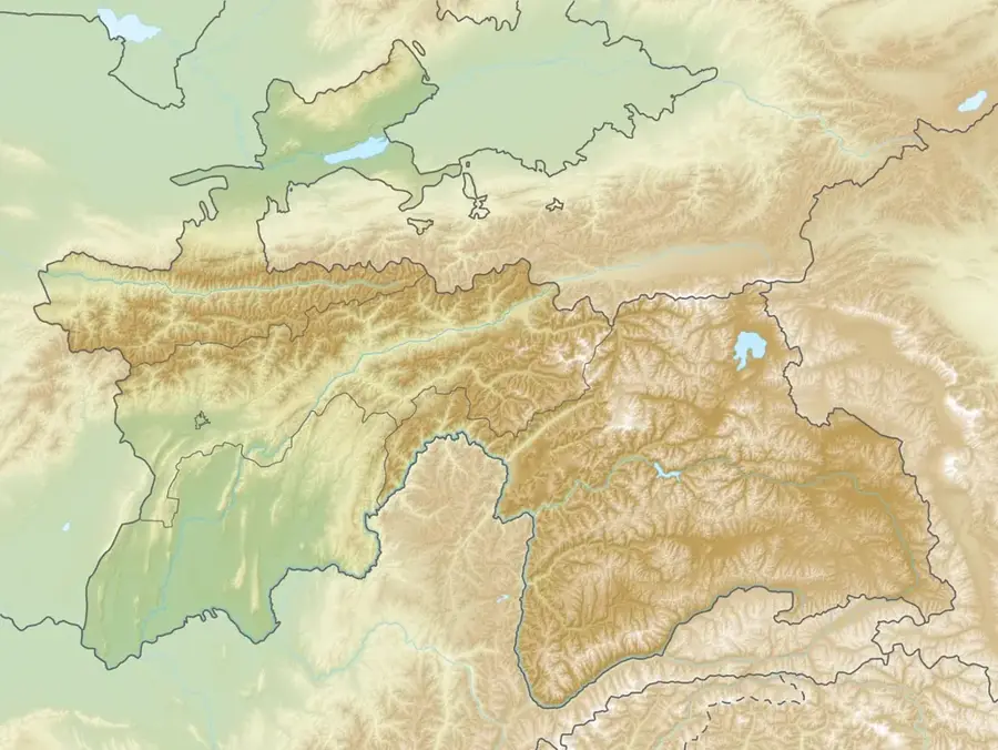
- Location: Tajikistan
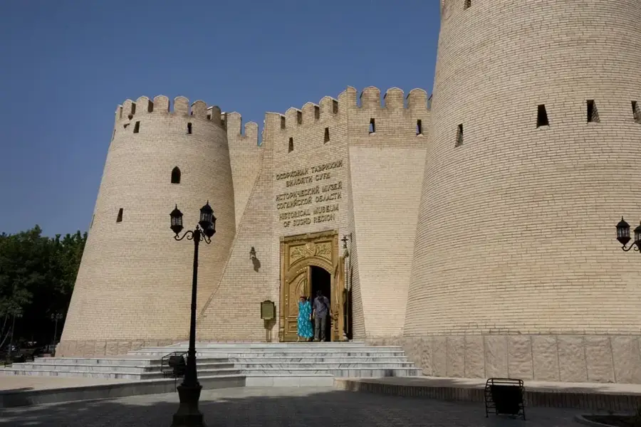
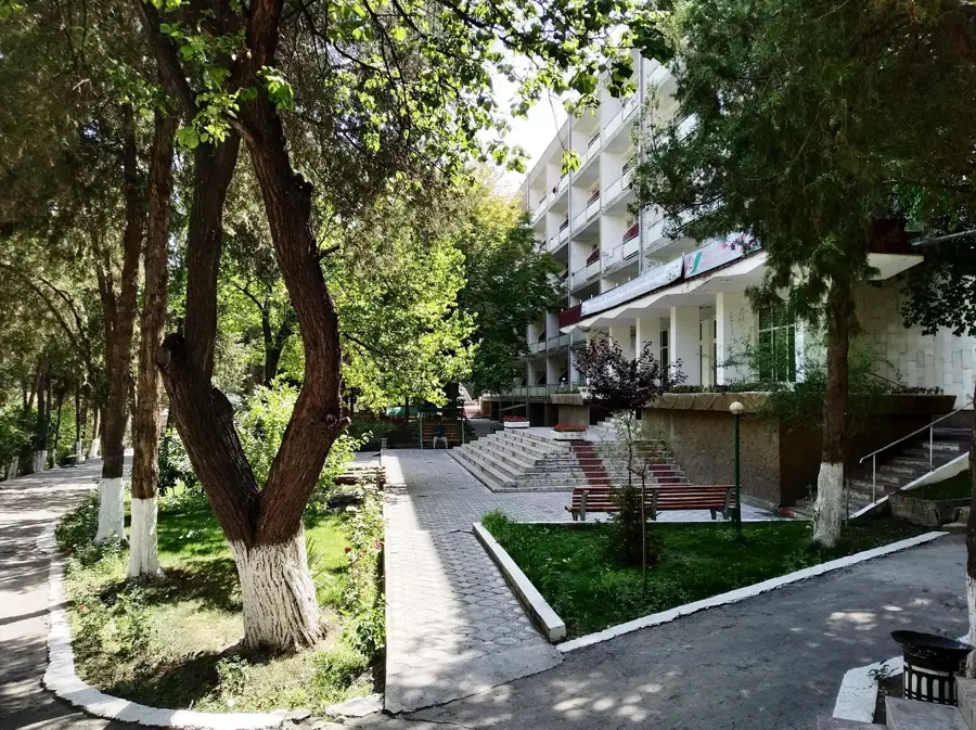
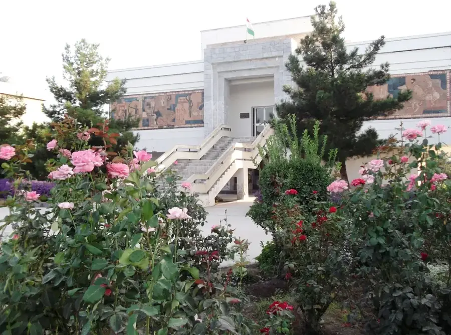
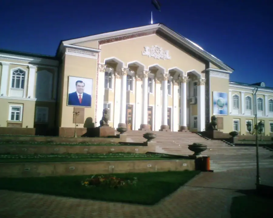
- Top sights: Castle of Independence · corniche with sport area · I love Tajikistan
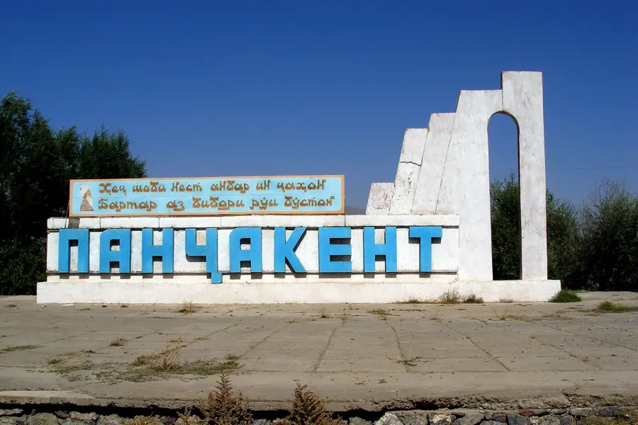
- Nearby: Buston (8 km)
Best time to visit & climate
The most pleasant time to visit is May, Jun, Sep.
| Jan | Feb | Mar | Apr | May | Jun | Jul | Aug | Sep | Oct | Nov | Dec | |
|---|---|---|---|---|---|---|---|---|---|---|---|---|
| Avg °C | 0 | 1 | 8 | 13 | 20 | 25 | 27 | 26 | 20 | 13 | 5 | 0 |
| Rain mm | 22 | 30 | 34 | 31 | 24 | 10 | 3 | 4 | 3 | 15 | 28 | 29 |
📋 Practical info
Geography
Facts
- Khujand was founded as Alexandria Eschate by Alexander the Great in 329 BC.
- The Syr Darya river is the primary source of water for the valley's vast fields.
- The Kayrakkum Reservoir is 52 kilometers long and up to 20 kilometers wide.
- This region produces a significant portion of Tajikistan's industrial output.
- The Tajik part of the valley is home to more than 30% of the country's population.
- It is bordered by the Kurama Range to the north and the Alay Range to the south.
Explore nearby
Notable places around
Route planner — Car & Motorhome
Where do you start? We build the route here, with stops and country notes along the way.
© OpenStreetMap contributors · OpenRouteService
Sights in the town Fergana Valley (Tajik part) (3)
Sights nearby
Frequently asked questions
What is special about the Tajik part of the Fergana Valley?
Is entry from Kyrgyzstan problem-free?
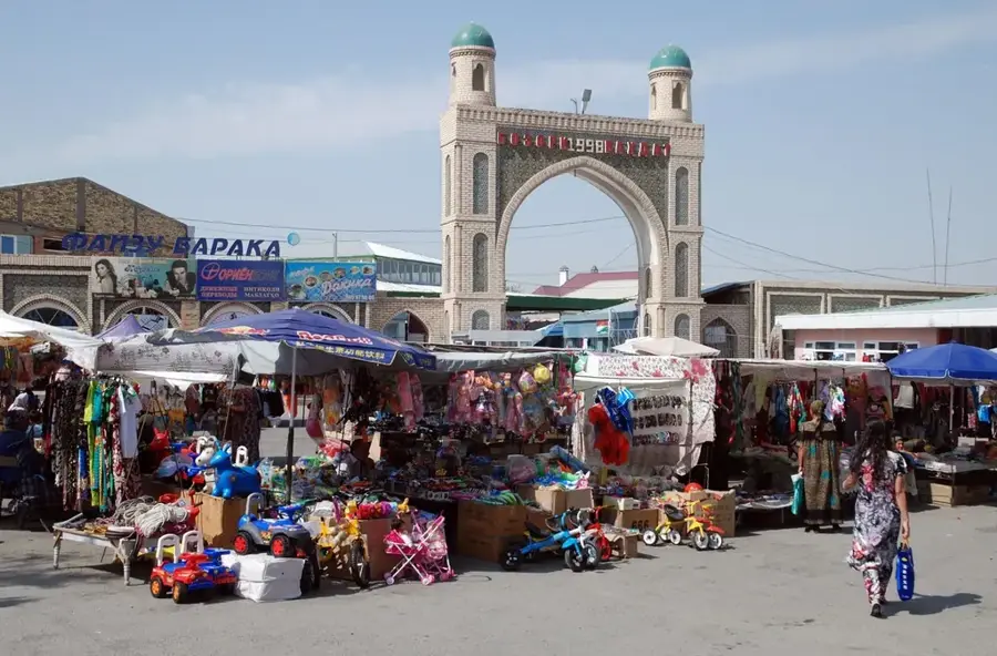
Can one visit markets?
What is the main means of transport?
What language is spoken?
Fergana Valley (Tajik part): where is it located?
Fergana Valley (Tajik part): what is there to see?
Fergana Valley (Tajik part): when is the best time to visit?
Fergana Valley (Tajik part): why is it worth visiting?

Nearby cities


History & landmarks
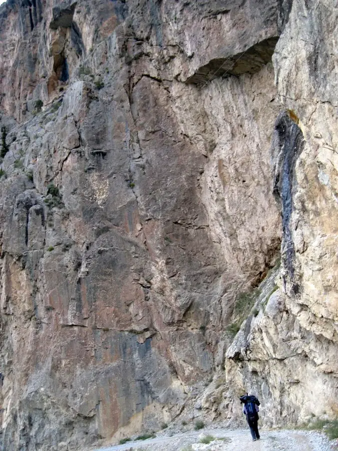
Nature
More places