Plizio Visual Lab
Turkestan Range
Weather…
Water temperature…
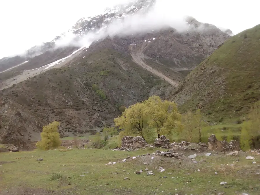
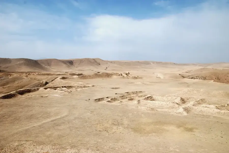
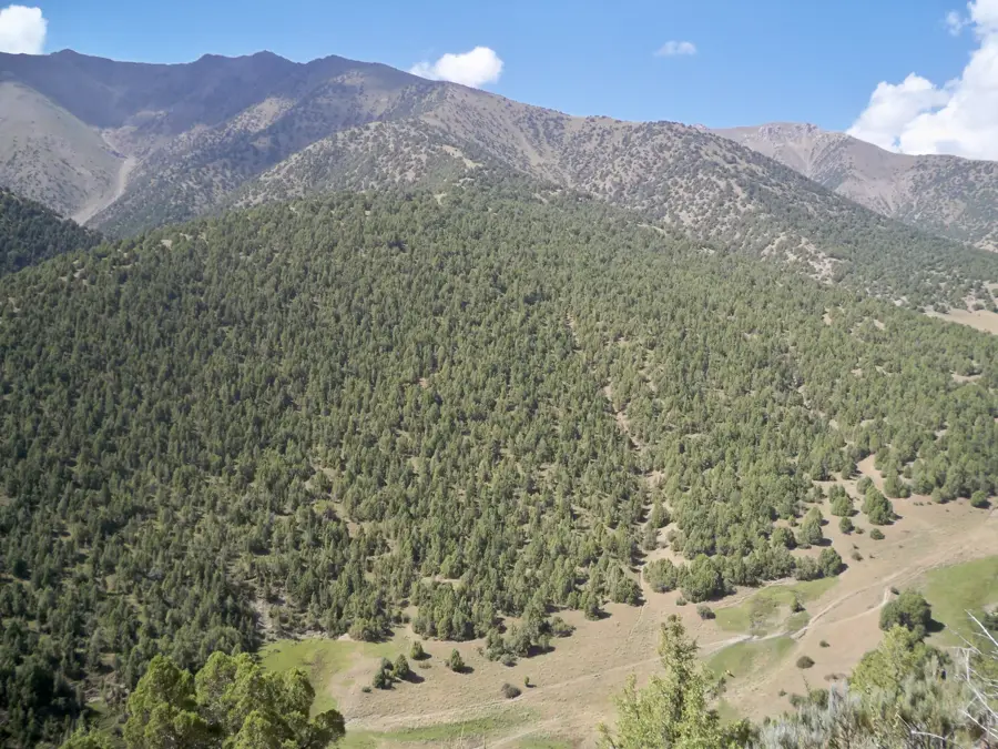
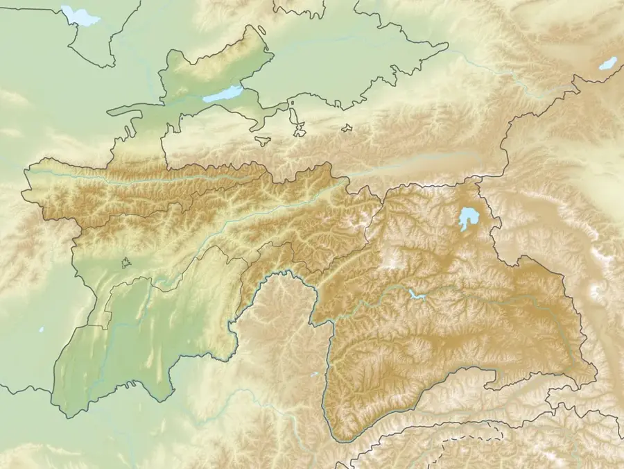
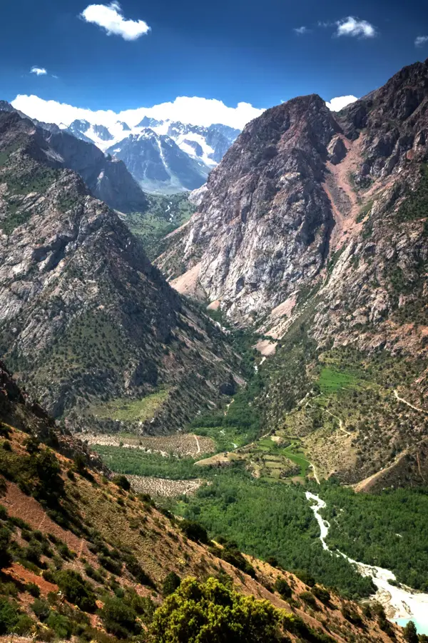
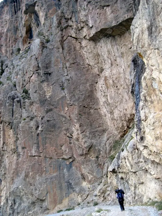
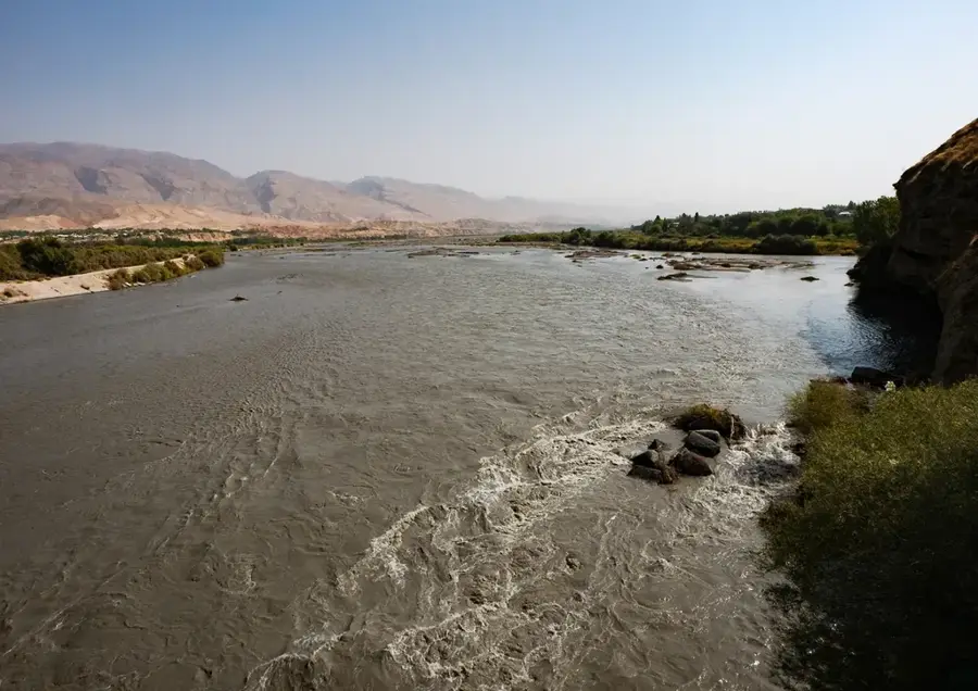
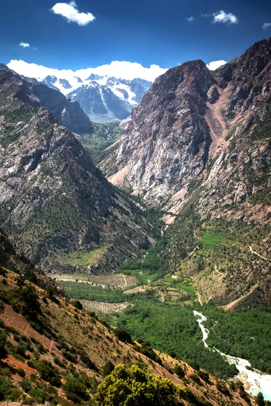
The Turkestan Range is a major mountain chain in the Pamir-Alay system, stretching approximately 340 kilometers along the borders of Tajikistan, Kyrgyzstan, and Uzbekistan. It borders the Fergana Valley to the south and reaches its highest elevation at Pik Skalisty, standing at 5,621 meters. The range is characterized by an extremely rugged topography, featuring steep granite walls and deep glacial valleys, making it a challenging area for mountaineers. Geologically, crystalline schists and granites dominate, often creating spectacular rock formations. The climate is continental with significant temperature fluctuations, restricting vegetation to hardy high-altitude species. Historically, the Turkestan Range served as a natural barrier controlling access to the Fergana Valley and held strategic importance for various Central Asian empires. Today, the region is primarily known for its pristine wilderness and opportunities for extreme mountaineering. Meltwater from numerous glaciers feeds important rivers like the Isfara, which are essential for agriculture in the lower valleys.
- Location: Tajikistan
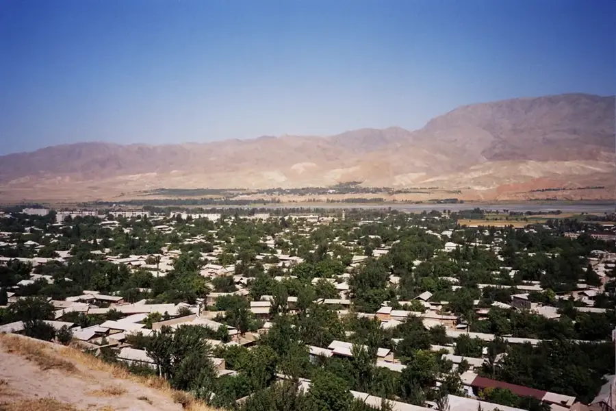
- Nearby: Istaravshan (20 km)
Best time to visit & climate
The most pleasant time to visit is Jun–Aug.
| Jan | Feb | Mar | Apr | May | Jun | Jul | Aug | Sep | Oct | Nov | Dec | |
|---|---|---|---|---|---|---|---|---|---|---|---|---|
| Avg °C | -9 | -7 | -1 | 4 | 9 | 13 | 16 | 15 | 11 | 5 | -1 | -7 |
| Rain mm | 28 | 41 | 52 | 48 | 35 | 15 | 6 | 3 | 3 | 16 | 33 | 33 |
📋 Practical info
Geography
Facts
- The highest point is Pik Skalisty at 5,621 meters
- Extends over a length of approximately 340 kilometers
- Forms the southern boundary of the Fergana Valley
- Geologically dominated by granites and metamorphic schists
- Major glaciers provide water for the Isfara River
- Famous for the vertical rock walls in the Ak-Su Valley
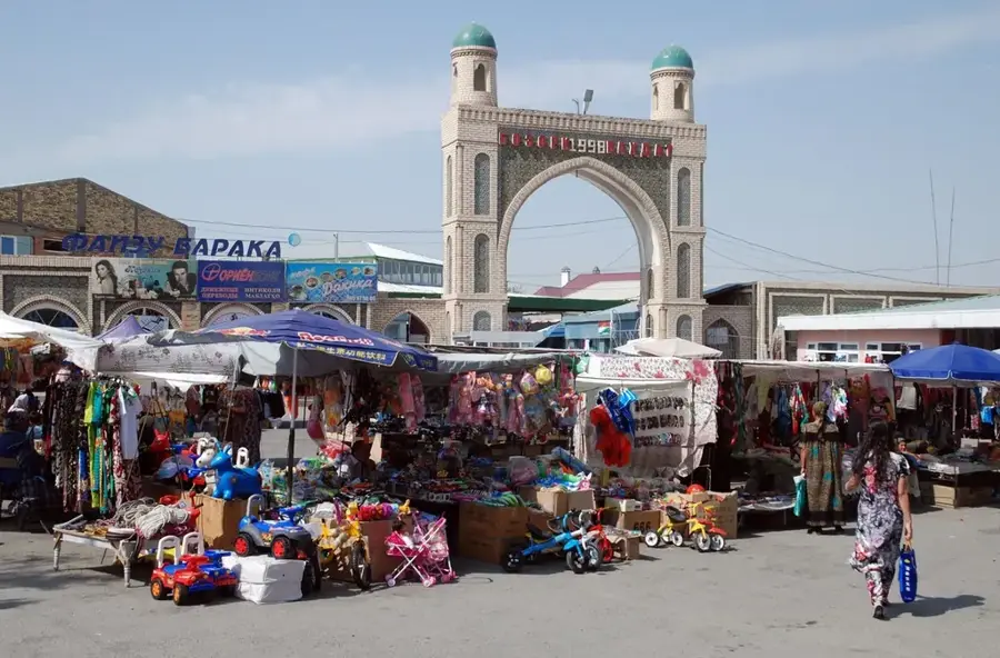
Explore nearby
Notable places around
Route planner — Car & Motorhome
Where do you start? We build the route here, with stops and country notes along the way.
© OpenStreetMap contributors · OpenRouteService
Sights nearby
Frequently asked questions
Is the Turkestan range a hiking paradise?
Are there many tourists there?
How is the weather in higher altitudes?
Is a permit needed?
Is there public transport?
Turkestan Range: where is it located?
Turkestan Range: when is the best time to visit?
Turkestan Range: why is it worth visiting?

Nearby cities


History & landmarks
Nature
More places