Plizio Visual Lab
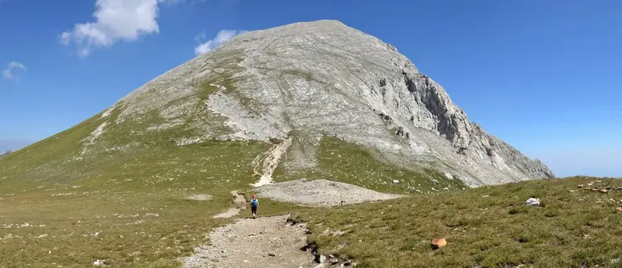
Kajmakčalan
Weather…
Water temperature…
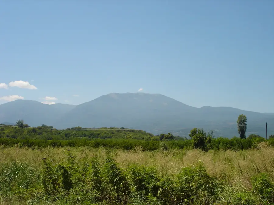
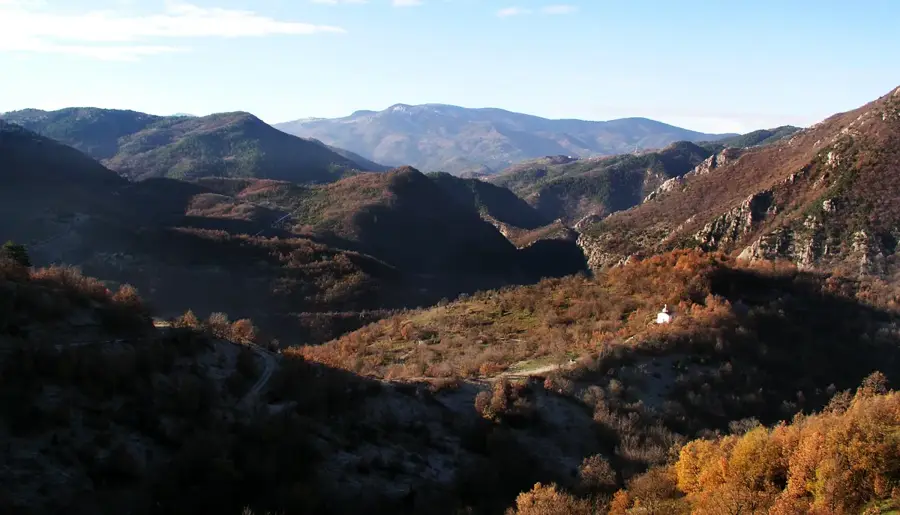
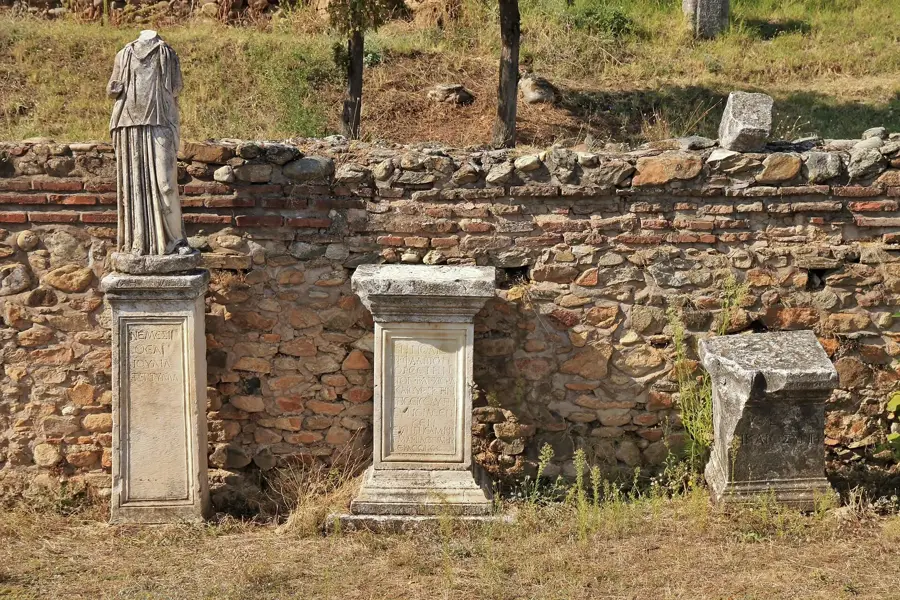
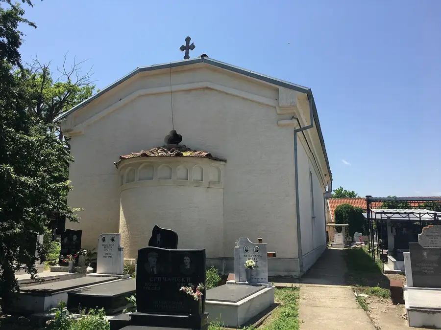
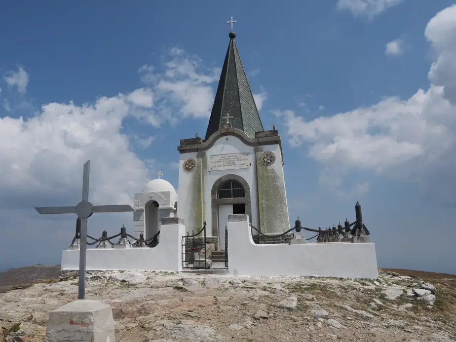
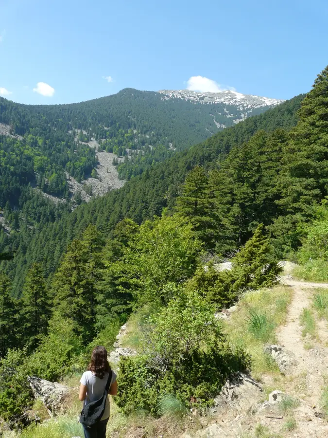
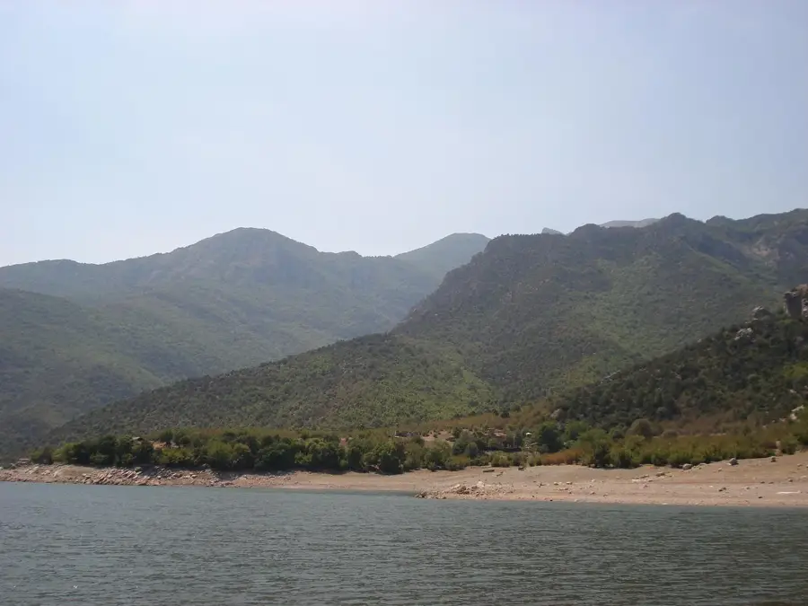
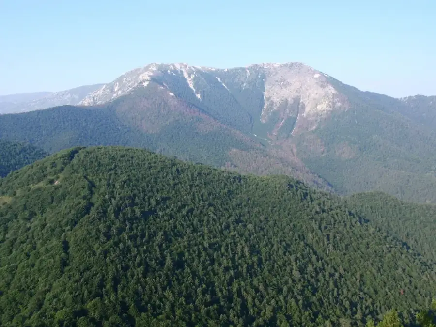
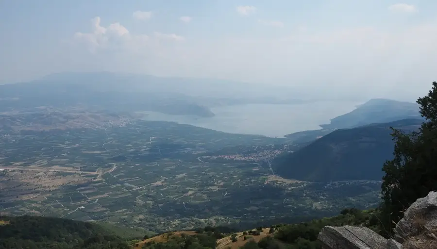
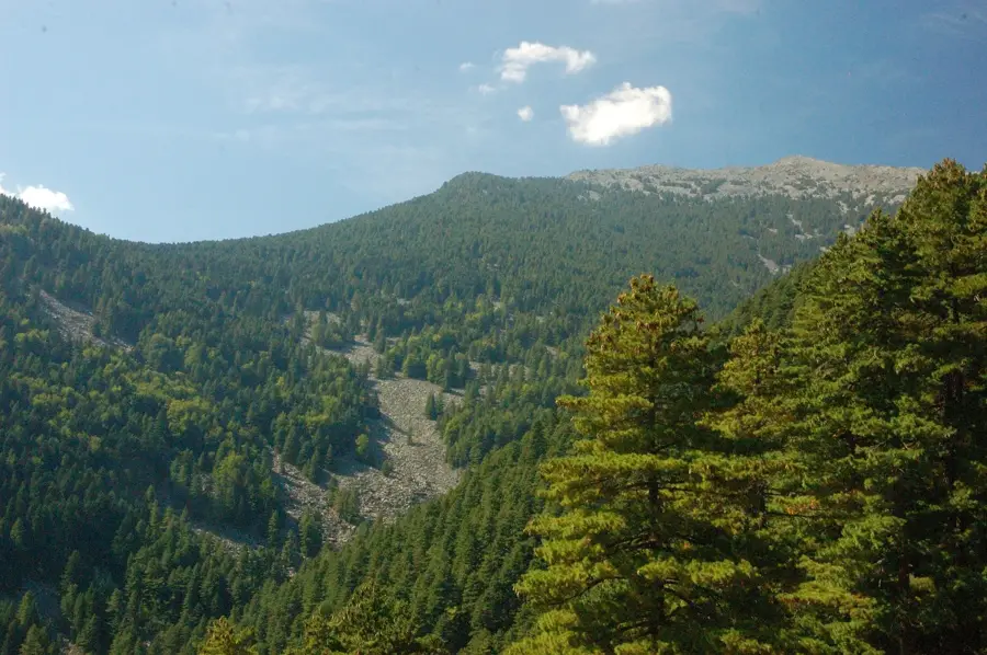
Kajmakčalan is the highest peak of Mount Nidže on the border between North Macedonia and Greece, standing at an elevation of 2,521 meters. It gained immense historical significance during World War I as the site of the brutal Battle of Kajmakčalan in 1916. The fierce fighting between Bulgarian and Serbian forces on this strategic ridge resulted in thousands of casualties on both sides. After the war, a memorial chapel was erected at the summit to honor the fallen Serbian soldiers, which famously housed the heart of Dr. Archibald Reiss. Today, the peak is a destination for hikers and history enthusiasts who explore the remains of trenches and military monuments. The landscape is characterized by rugged alpine terrain and gives expansive views over the Mariovo region and the Greek plains. Due to its remote location near the border, the environment remains largely untouched and pristine.
- Location: North Macedonia
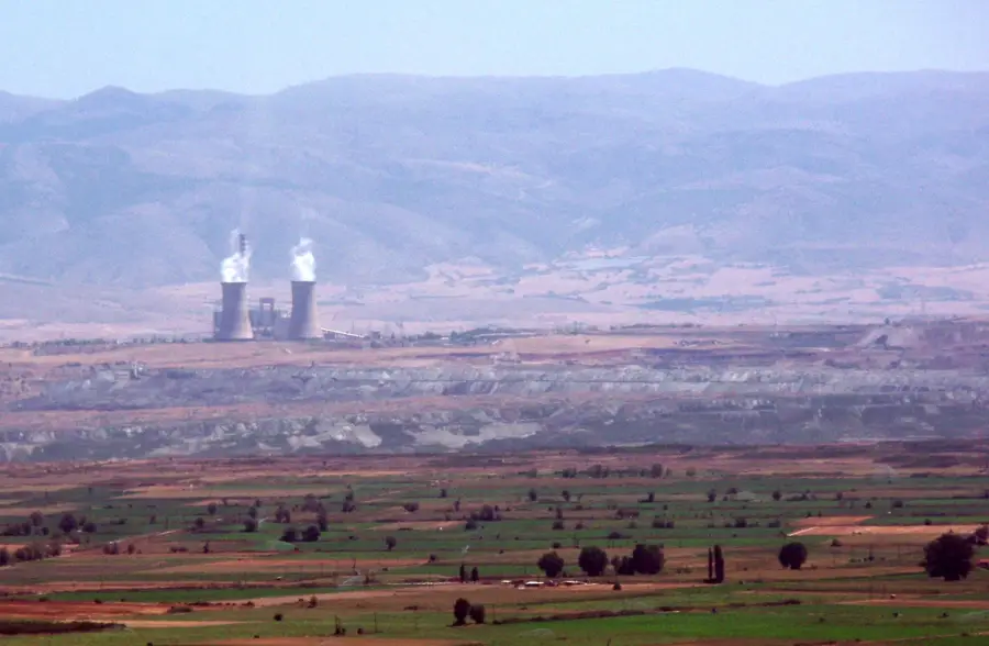
- Nearby: Rozden Mining Exploration (36 km)
Best time to visit & climate
The most pleasant time to visit is Jun–Aug.
| Jan | Feb | Mar | Apr | May | Jun | Jul | Aug | Sep | Oct | Nov | Dec | |
|---|---|---|---|---|---|---|---|---|---|---|---|---|
| Avg °C | -1 | 1 | 5 | 9 | 15 | 20 | 23 | 23 | 18 | 12 | 6 | 1 |
| Rain mm | 54 | 48 | 56 | 55 | 60 | 52 | 36 | 38 | 55 | 62 | 61 | 66 |
📋 Practical info
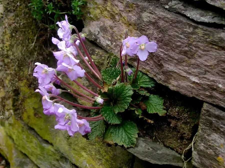
Geography
Facts
- The peak of Kajmakčalan stands at an elevation of exactly 2,521 meters.
- The historic battle for the summit took place between September 12 and 30, 1916.
- The Chapel of St. Peter at the top serves as a significant war memorial.
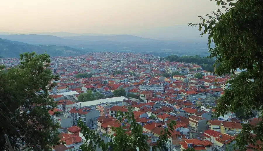
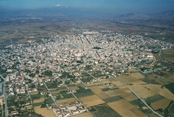
- The Mariovo region at the mountain's base is one of the least populated in Macedonia.
- The heart of Dr. Archibald Reiss was interred at the summit per his last will.
- Unexploded ordnance and shrapnel from 1916 can still be found on the slopes today.
Explore nearby
Notable places around
Route planner — Car & Motorhome
Where do you start? We build the route here, with stops and country notes along the way.
© OpenStreetMap contributors · OpenRouteService
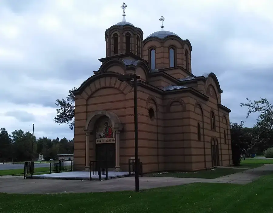
Sights in the town Kajmakčalan (1)
Sights nearby
Frequently asked questions
Where is Mount Kajmakčalan located?
Why is this place historically important?
How high is the peak?
Is there a monument on the mountain?
Is the climb difficult?
Kajmakčalan: where is it located?
Kajmakčalan: when is the best time to visit?
Kajmakčalan: why is it worth visiting?

Nearby cities

History & landmarks
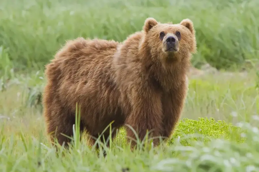
Nature

More places