Plizio Visual Lab
Pelister Peak
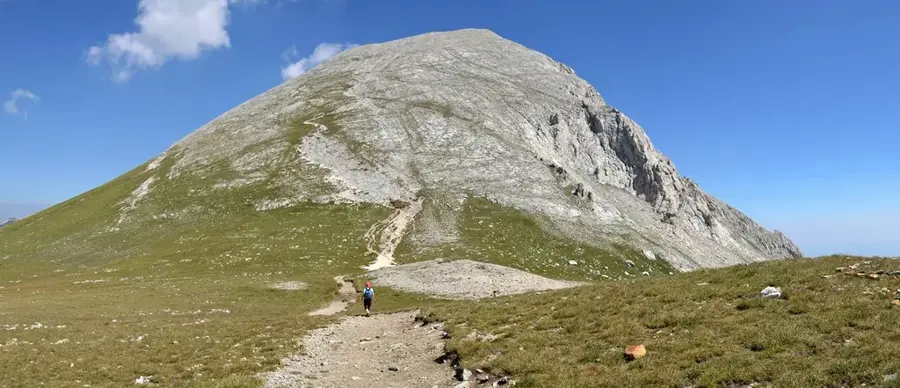
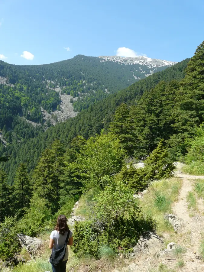
Pelister is the highest peak of the Baba Mountain range in southwestern North Macedonia, standing at 2,601 meters above sea level near the city of Bitola. It serves as the namesake for Pelister National Park, which was established in 1948 as the first national park in the former Yugoslavia. Geologically, the peak is characterized by massive granite formations, distinguishing it from the predominantly limestone mountains found elsewhere in the Balkans. A unique botanical feature of the area is the Molika pine (Pinus peuce), a five-needle pine species that has a significant relict presence on these slopes. The summit hosts telecommunication towers and a meteorological station that are prominent landmarks visible from the valley. Below the peak lie two glacial lakes known as the 'Pelister Eyes,' which are popular destinations for high-altitude trekking. The climate is distinctly alpine, with snow patches often remaining in shaded gullies well into the early summer. The region is a cornerstone of regional tourism, offering a variety of marked trails for hikers and nature enthusiasts.
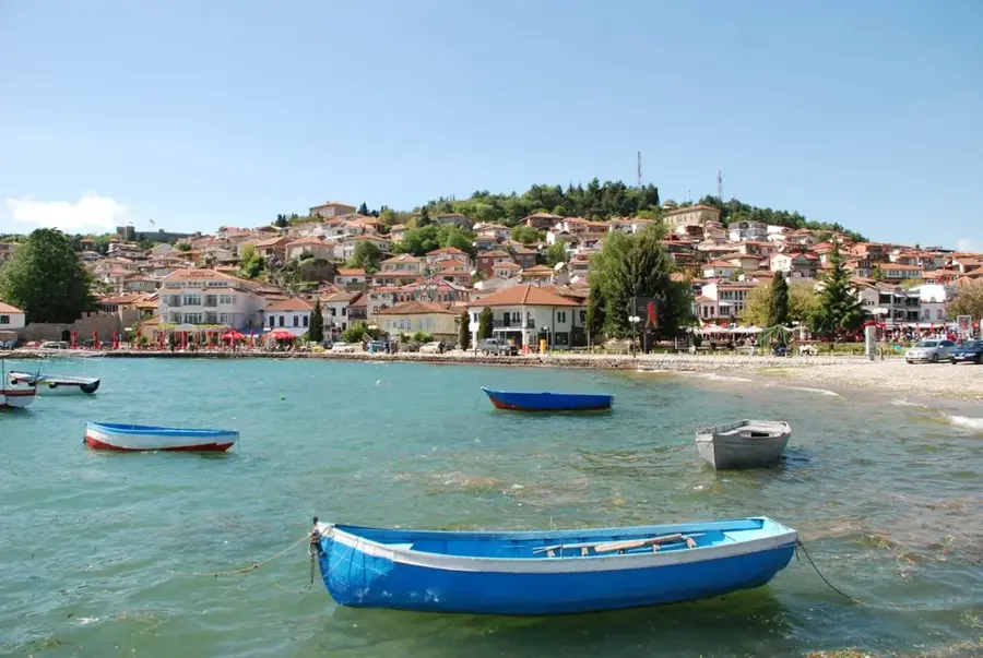
- Location: North Macedonia
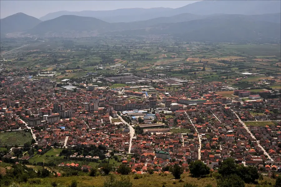
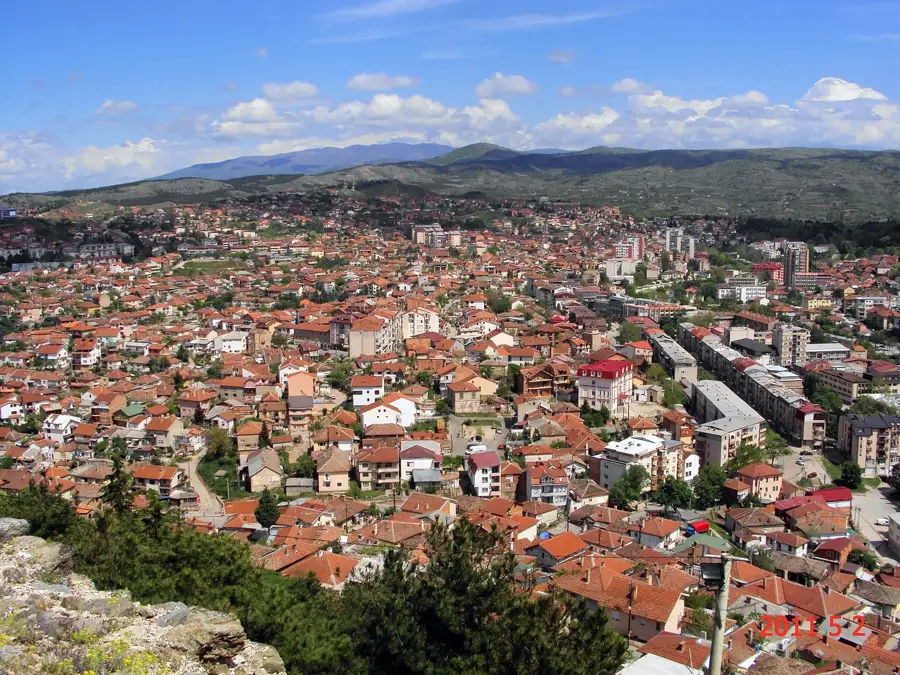
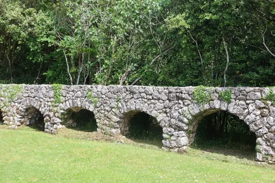
- Top sights: Jorgov Kamen · Crveni Steni (Red Rocks) · Dihovo river pool
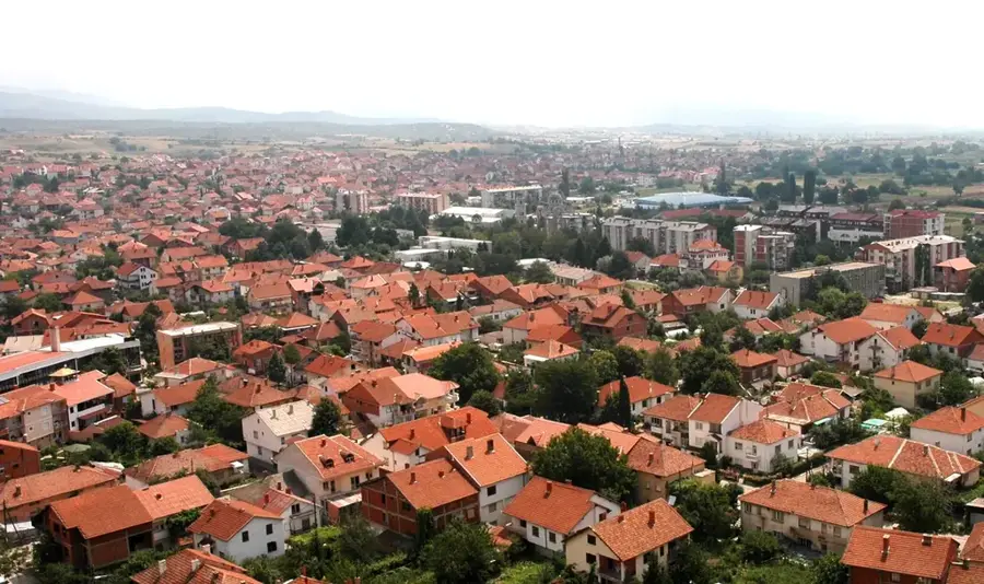
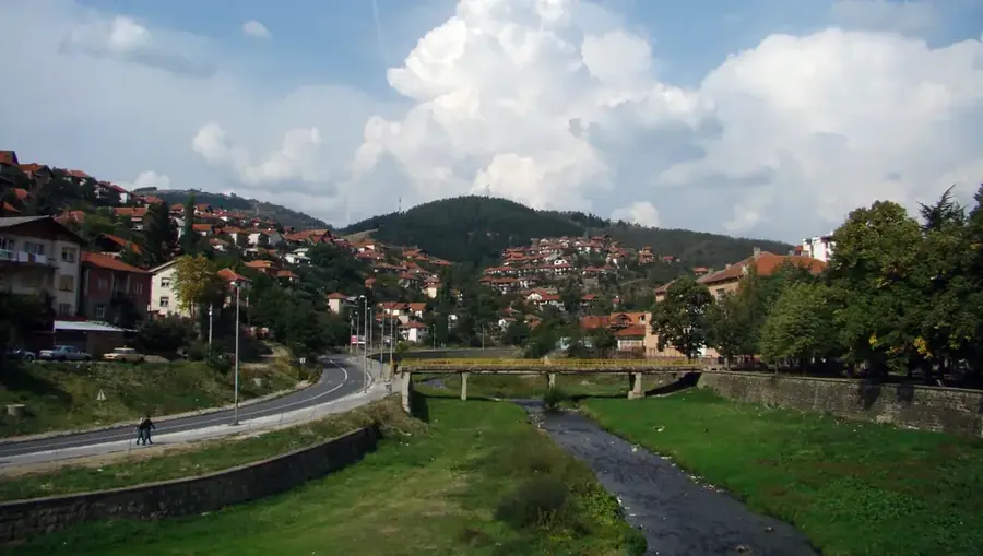
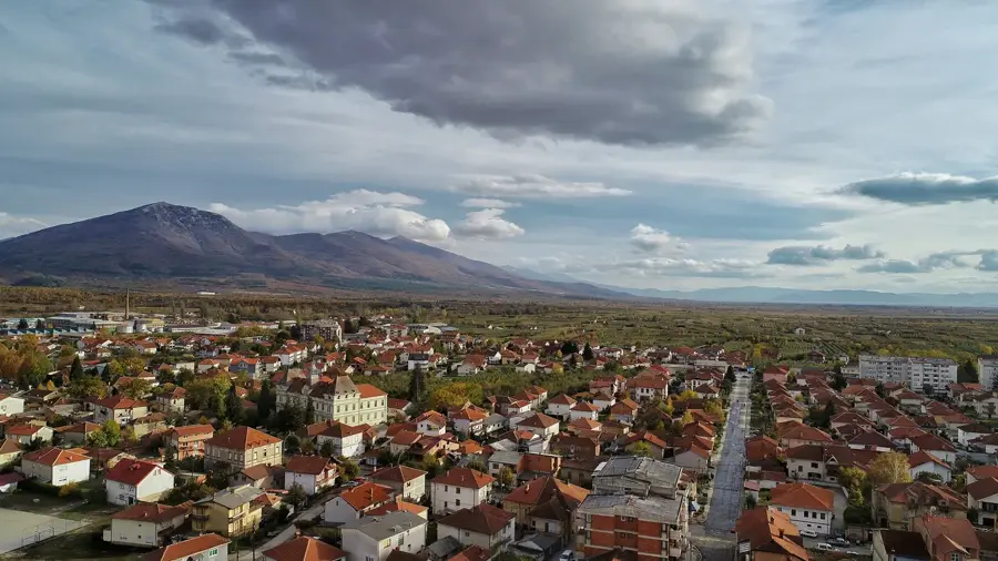
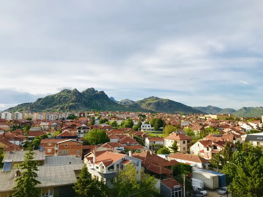
- Nearby: Resen (20 km)
Best time to visit & climate
The most pleasant time to visit is Jun–Aug.
| Jan | Feb | Mar | Apr | May | Jun | Jul | Aug | Sep | Oct | Nov | Dec | |
|---|---|---|---|---|---|---|---|---|---|---|---|---|
| Avg °C | -1 | 1 | 5 | 9 | 14 | 19 | 23 | 23 | 17 | 12 | 6 | 1 |
| Rain mm | 57 | 53 | 54 | 57 | 62 | 50 | 36 | 36 | 60 | 66 | 69 | 70 |
📋 Practical info
Geography
Facts
- The summit reaches an elevation of 2,601 meters.
- It is located within the oldest national park in North Macedonia.
- The peak is geologically composed primarily of granite.
- It is a key habitat for the rare Molika pine tree.
- Two glacial lakes are situated just below the peak.
- The summit offers clear views of the Prespa Lake basin.
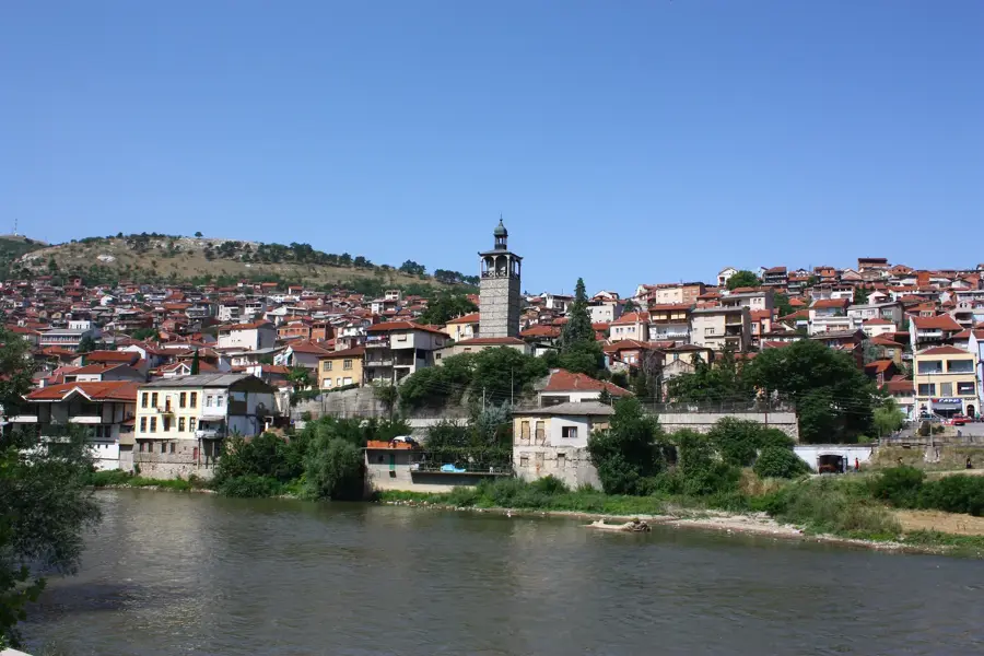
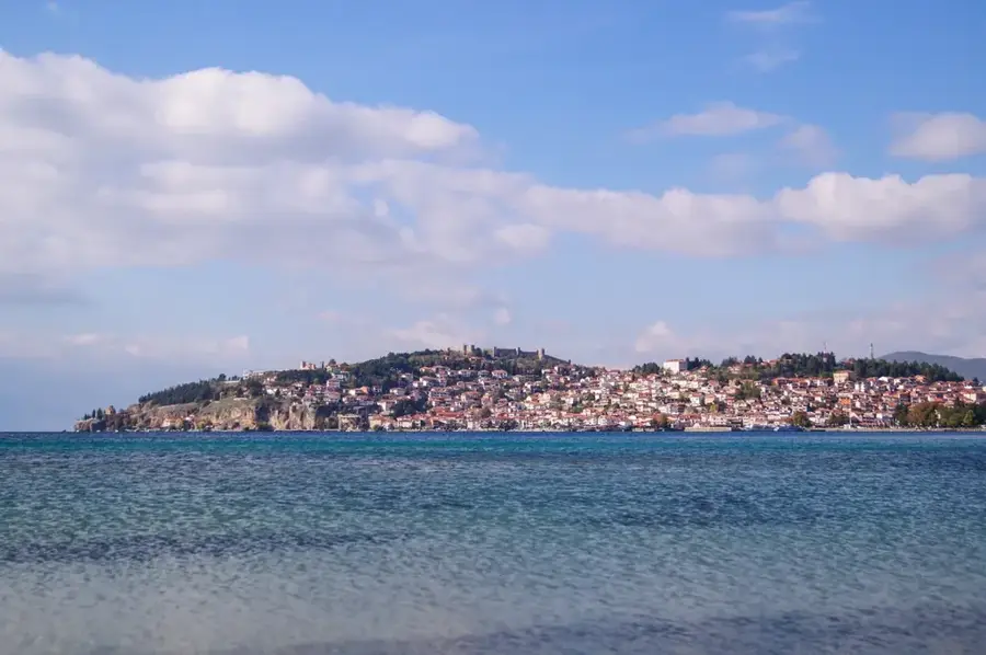
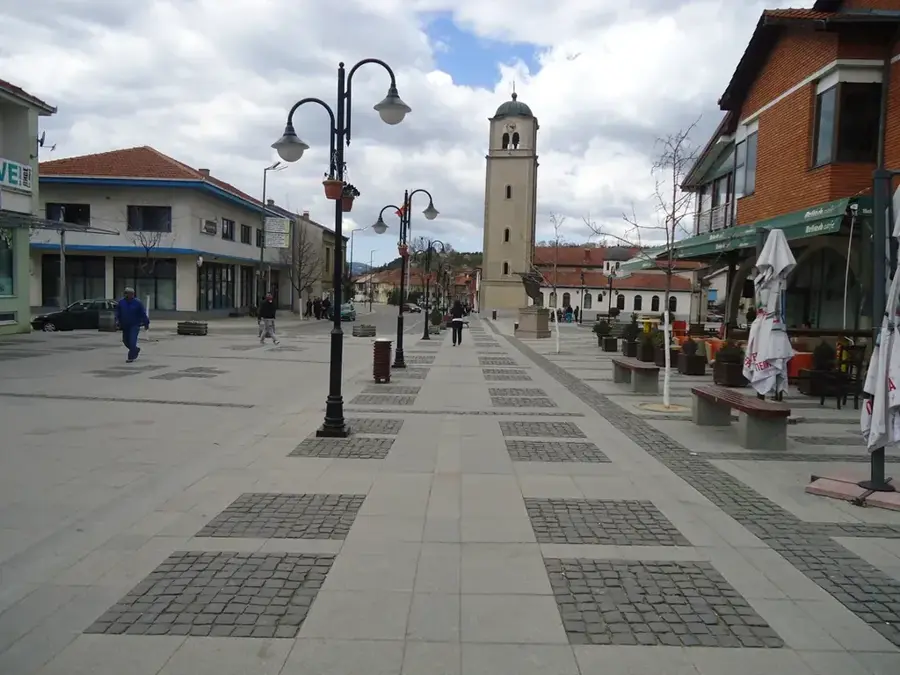
Explore nearby
Notable places around
Route planner — Car & Motorhome
Where do you start? We build the route here, with stops and country notes along the way.
© OpenStreetMap contributors · OpenRouteService
Sights in the town Pelister Peak (4)
Sights nearby
Frequently asked questions
In which national park is Pelister located?
What are the 'Pelister Eyes'?
What rare plant grows here?
Can the peak be climbed in one day?
How high is Pelister Peak?
Pelister Peak: where is it located?
Pelister Peak: what is there to see?
Pelister Peak: when is the best time to visit?
Pelister Peak: why is it worth visiting?

Nearby cities