Plizio Visual Lab
Pelagonia Plain
Weather…
Water temperature…
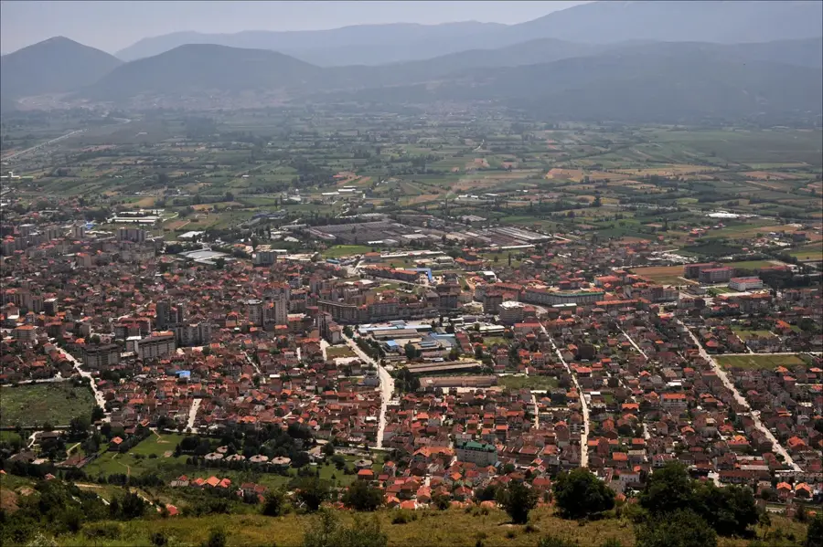
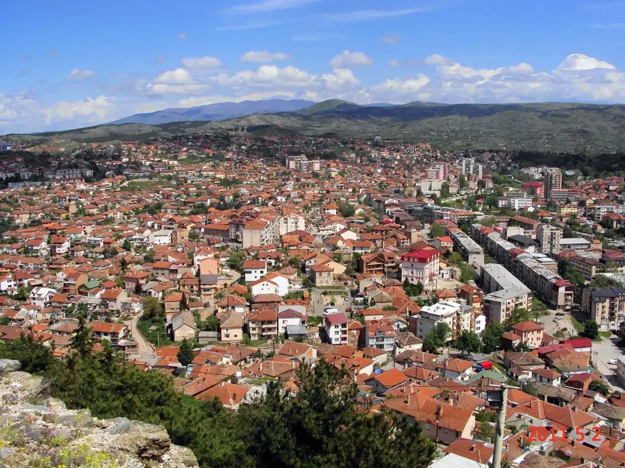
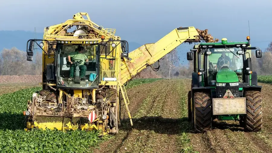
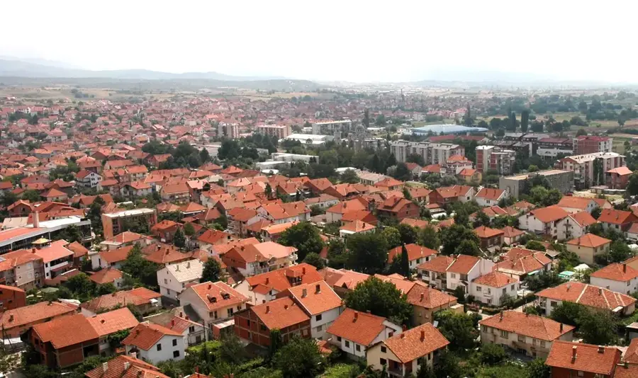
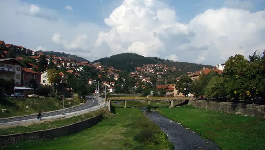
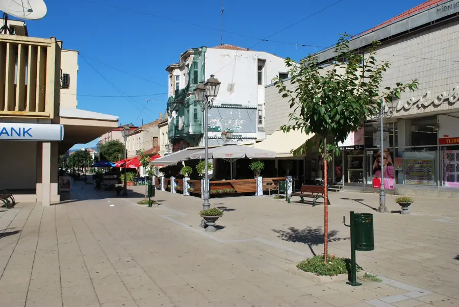
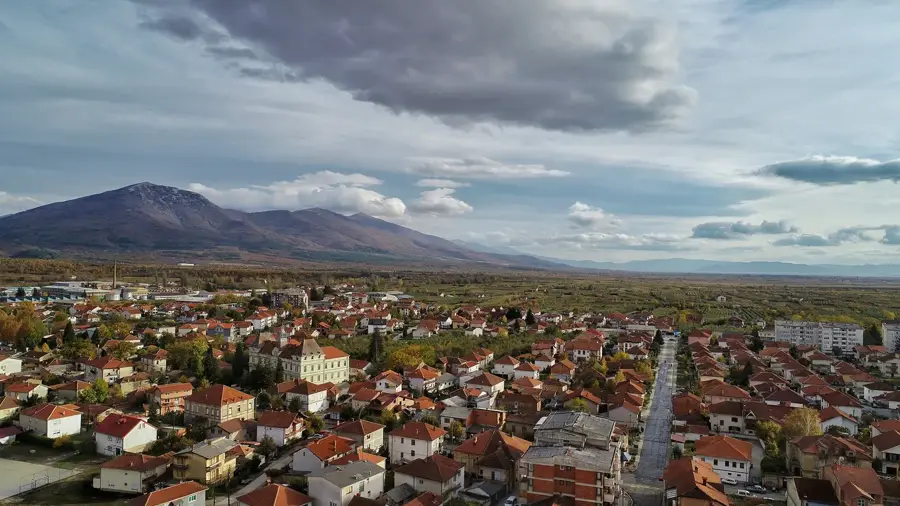
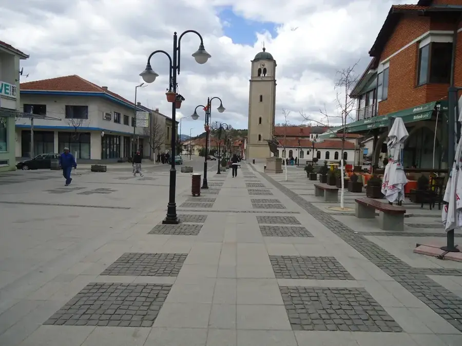
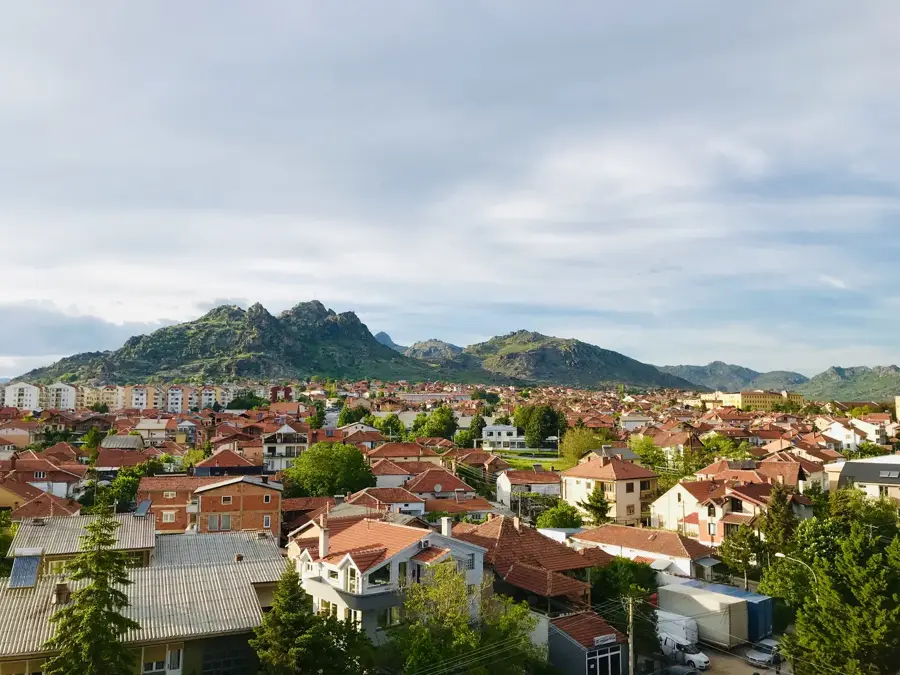
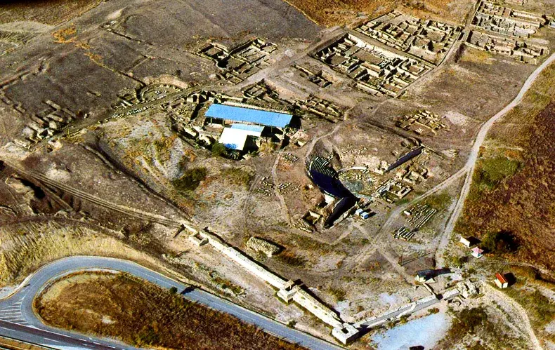
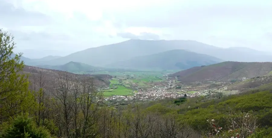
The Pelagonia Plain is the largest and most significant basin in North Macedonia, located in the southwestern part of the country and extending into Greece. Sitting at an average elevation of 600 meters above sea level, this vast plateau serves as the nation's agricultural heartland, producing most of its grain, sugar beets, and tobacco. The plain is anchored by the historic cities of Bitola and Prilep, which have functioned as major commercial and cultural centers since the Middle Ages. Geologically, Pelagonia is a fossil lake basin containing massive lignite deposits, which power the REK Bitola plant, the largest energy producer in the country. The region's history is incredibly deep, named after the ancient Pelagonian tribes and later becoming a core part of the Kingdom of Macedon. Surrounded by towering mountain ranges like Baba, Nidže, and Jakupica, the plain features a striking contrast between flat fertile land and rugged peaks. Today, it remains a vital economic zone while hosting priceless archaeological treasures such as the ruins of Heraclea Lyncestis.
- Location: North Macedonia
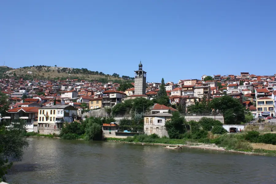
- Nearby: Krusevo (19 km)
Best time to visit & climate
The most pleasant time to visit is Jun–Aug.
| Jan | Feb | Mar | Apr | May | Jun | Jul | Aug | Sep | Oct | Nov | Dec | |
|---|---|---|---|---|---|---|---|---|---|---|---|---|
| Avg °C | -1 | 1 | 5 | 9 | 14 | 19 | 23 | 23 | 17 | 12 | 6 | 1 |
| Rain mm | 57 | 53 | 54 | 57 | 62 | 50 | 36 | 36 | 60 | 66 | 69 | 70 |
📋 Practical info
Geography
Facts
- The Pelagonia Plain covers approximately 4,000 square kilometers in total.
- It provides the primary source of lignite for the country's electricity.
- The city of Prilep is world-renowned for its 'Sivec' white marble.
- The plain is split between North Macedonia (2,000 km2) and Greece.
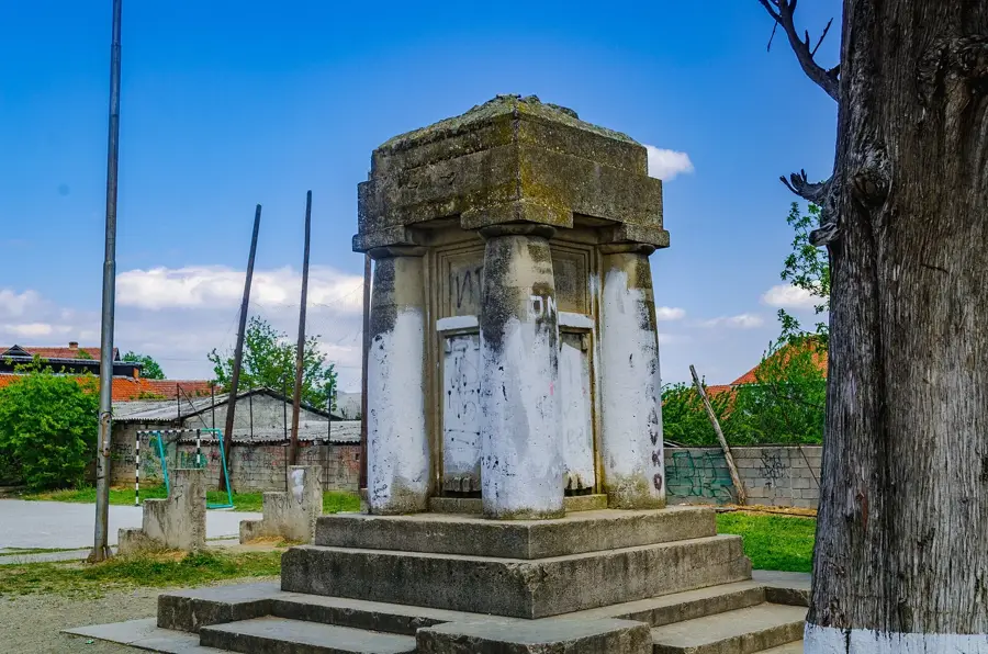
- Heraclea Lyncestis, an ancient city, was founded here in the 4th century BC.
- The Crna Reka river provides essential irrigation for the plain's crops.
Explore nearby
Notable places around
Route planner — Car & Motorhome
Where do you start? We build the route here, with stops and country notes along the way.
© OpenStreetMap contributors · OpenRouteService
Sights in the town Pelagonia Plain (1)
Sights nearby
Frequently asked questions
Where is the Pelagonia plain located?
What is the economic importance of Pelagonia?
Which ancient site can be found here?
What is primarily grown in Pelagonia?
Are there museums there?
Pelagonia Plain: where is it located?
Pelagonia Plain: when is the best time to visit?
Pelagonia Plain: why is it worth visiting?

Nearby cities