Plizio Visual Lab
Lake Vegoritida
Weather…
Water temperature…
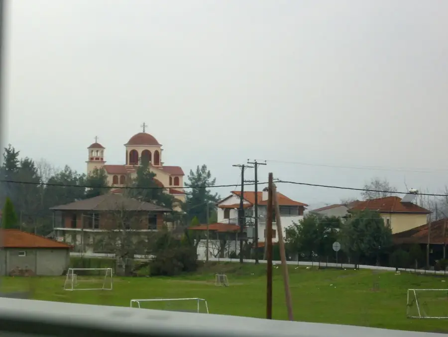
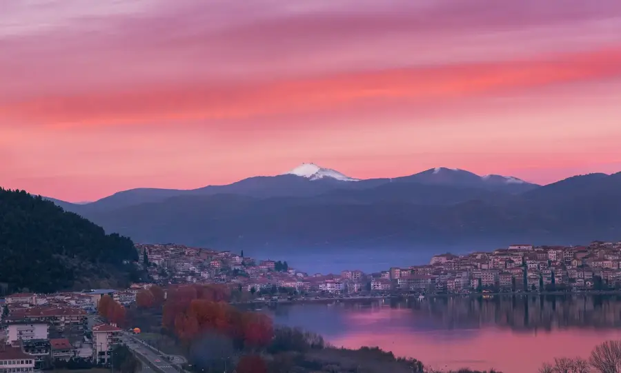
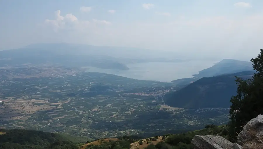
Lake Vegoritida is situated in northwestern Greece, straddling the regional units of Florina and Pella, and ranks among the largest and deepest natural lakes in the country. Perched at an altitude of approximately 540 meters, the lake is framed by the majestic Voras and Vermio mountain ranges. It is a tectonic lake and part of the Eordai basin, historically forming a much larger body of water along with nearby Lake Petron. In recent decades, the lake's water levels have fluctuated significantly due to intensive agricultural use and industrial demands from local power plants. Despite these challenges, Vegoritida remains a vital ecological sanctuary and is integrated into the Natura 2000 network. Its extensive reed beds and wetlands provide essential nesting grounds for rare bird species, including the Dalmatian pelican and the pygmy cormorant. The lakeside town of Arnissa and the village of Agios Panteleimonas are known for their traditional character and scenic vistas. The lake is also a favored destination for outdoor activities such as birdwatching, fishing, and windsurfing, benefiting from its unique microclimate and geographic setting.
- Location: Greece
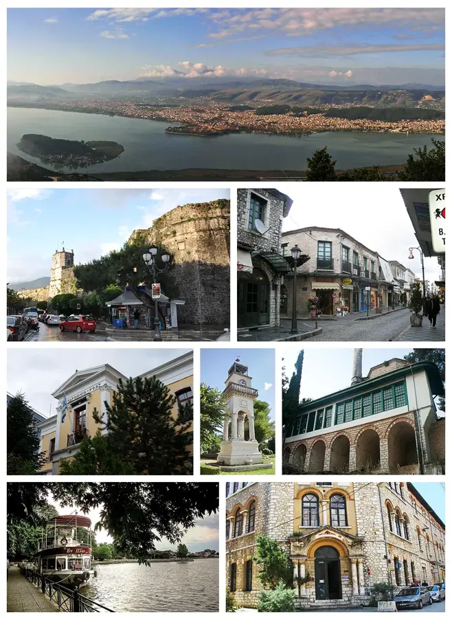
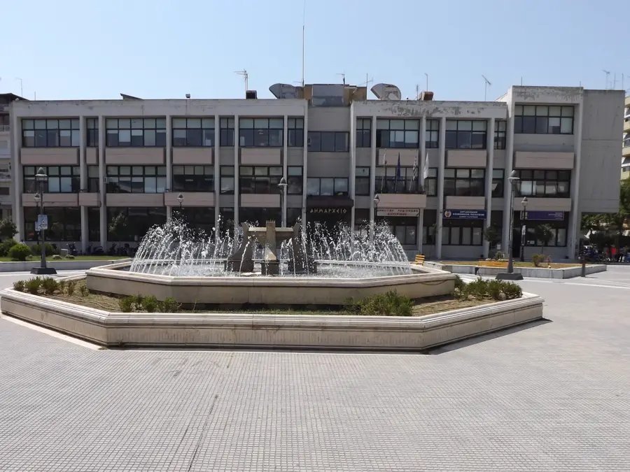
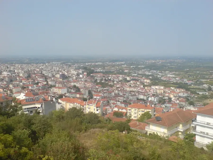
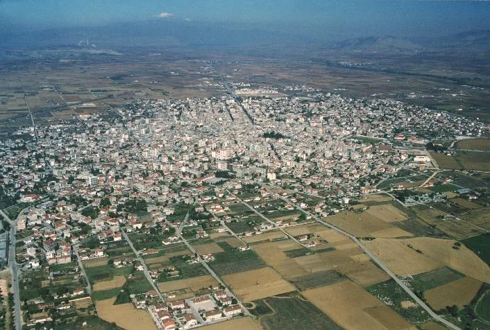
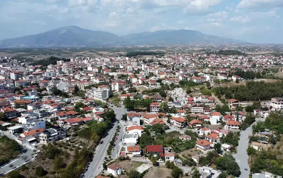
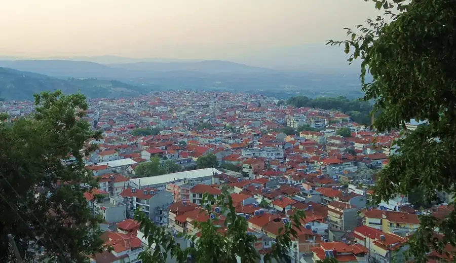
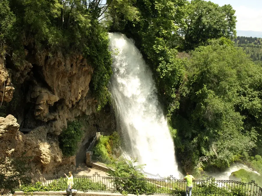
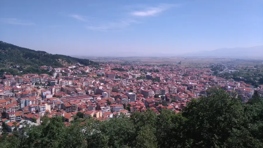
- Nearby: Edessa (22 km)
Best time to visit & climate
The most pleasant time to visit is Jun–Aug.
| Jan | Feb | Mar | Apr | May | Jun | Jul | Aug | Sep | Oct | Nov | Dec | |
|---|---|---|---|---|---|---|---|---|---|---|---|---|
| Avg °C | -1 | 1 | 5 | 9 | 15 | 20 | 23 | 23 | 18 | 12 | 6 | 1 |
| Rain mm | 54 | 48 | 56 | 55 | 60 | 52 | 36 | 38 | 55 | 62 | 61 | 66 |
📋 Practical info
Geography
Facts
- Lake Vegoritida reaches a maximum depth of approximately 50 meters.
- Its current surface area is about 45 square kilometers.
- The lake is a key nesting site for the endangered Lesser Kestrel.
- The surrounding Amyndeon plateau is one of Greece's top wine-producing regions.
- It is historically linked to the ancient Eordaea region.
- The village of Arnissa was originally built on an island in the lake.
Explore nearby
Notable places around
Route planner — Car & Motorhome
Where do you start? We build the route here, with stops and country notes along the way.
© OpenStreetMap contributors · OpenRouteService
Sights nearby
Frequently asked questions
Where is Lake Vegoritida located?
Is Vegoritida a deep lake?
Which villages are on the shore?
What can you do at the lake?
Is the lake part of a protected area?
Lake Vegoritida: where is it located?
Lake Vegoritida: when is the best time to visit?
Lake Vegoritida: why is it worth visiting?

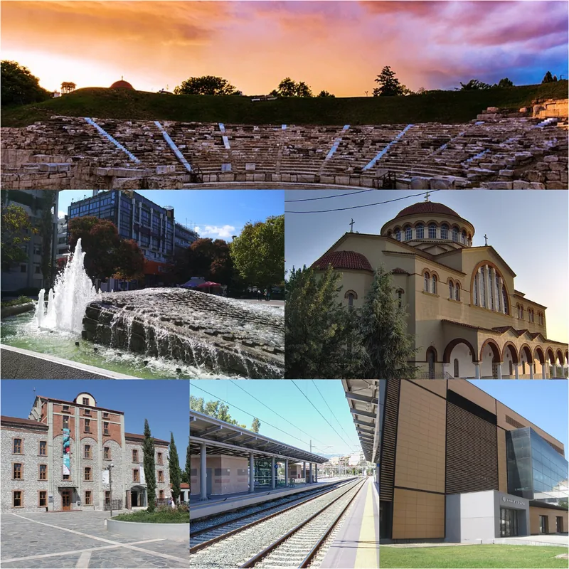
Nearby cities