Plizio Visual Lab
Cincar
Weather…
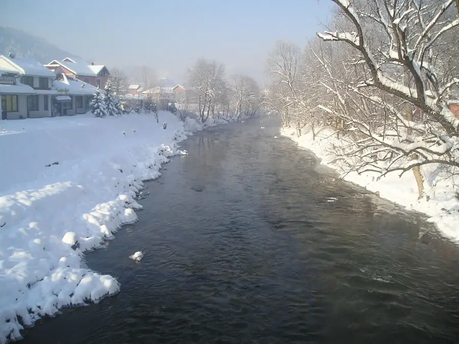
Water temperature…
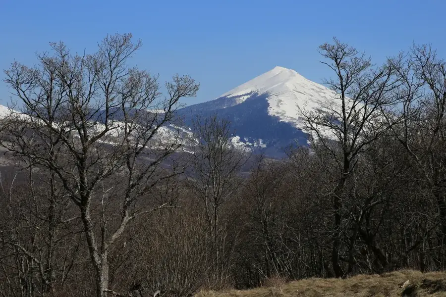
Cincar is a prominent mountain range in western Bosnia and Herzegovina, situated northeast of the city of Livno. Its eponymous peak, Cincar, reaches an elevation of 2,006 meters, making it the highest summit in this region of the Dinarides. The landscape is characterized by expansive karst plateaus and high-altitude pastures, with the Krug plateau at its base being particularly famous. A unique feature of Cincar is its population of wild horses, with over 500 animals roaming freely across the plateau for decades. The climate is harsh and alpine, frequently affected by the strong Bura wind, which results in sparse vegetation on exposed slopes. For hikers, Cincar provides challenging routes and spectacular panoramic views that can extend all the way to the Adriatic Sea on clear days. During the winter months, the mountain is heavily covered in snow, making it a prime destination for backcountry skiing and winter trekking.
- Location: Bosnia and Herzegovina
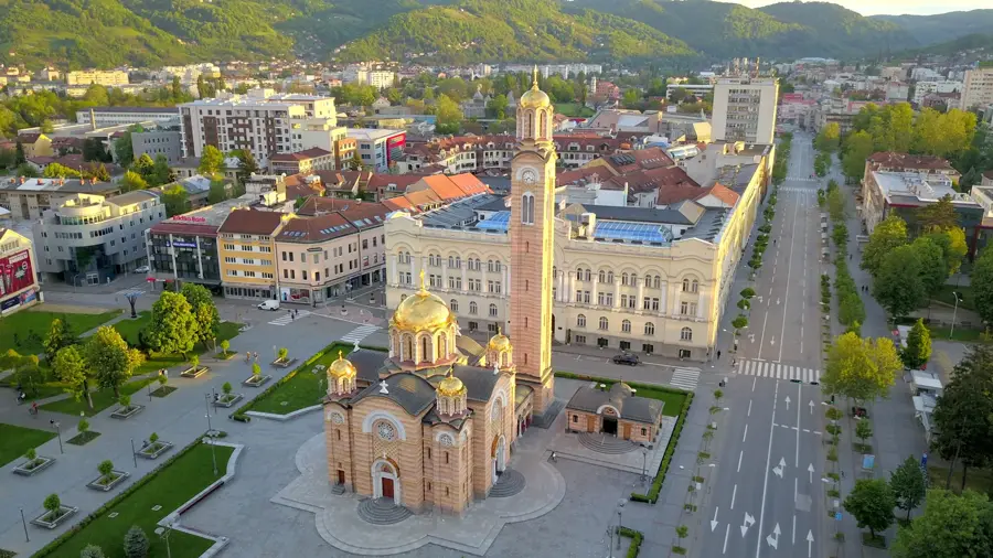
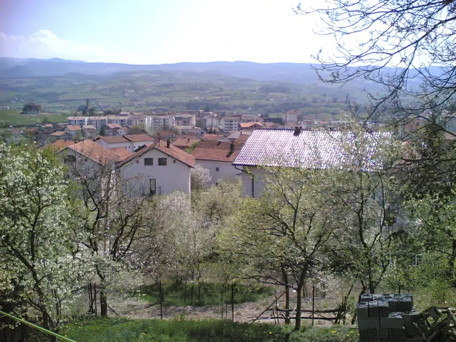
- Nearby: Livno (11 km)
Best time to visit & climate
The most pleasant time to visit is Jun–Aug.
| Jan | Feb | Mar | Apr | May | Jun | Jul | Aug | Sep | Oct | Nov | Dec | |
|---|---|---|---|---|---|---|---|---|---|---|---|---|
| Avg °C | -2 | -1 | 2 | 7 | 11 | 15 | 18 | 19 | 13 | 9 | 4 | 0 |
| Rain mm | 94 | 89 | 78 | 75 | 72 | 64 | 38 | 54 | 92 | 94 | 128 | 115 |
📋 Practical info
Geography
Facts
- The peak of Cincar reaches 2,006 meters above sea level.
- Around 500 wild horses live on the nearby Krug plateau.
- The mountain is composed mainly of limestone and dolomite.
- Bura wind speeds can exceed 100 km/h on the ridges.
- Snow cover often lasts for several months during winter.
- The Croatian islands are visible from the summit on clear days.
Explore nearby
Notable places around
Route planner — Car & Motorhome
Where do you start? We build the route here, with stops and country notes along the way.
© OpenStreetMap contributors · OpenRouteService
Sights nearby
Frequently asked questions
Why is Cincar famous?
How high is the summit of Cincar?
What is the weather like on Cincar?
Are you allowed to feed the wild horses?
Cincar: where is it located?
Cincar: when is the best time to visit?
Cincar: why is it worth visiting?
Nearby cities


More places