Plizio Visual Lab
Cincar Planina
Weather…
Water temperature…
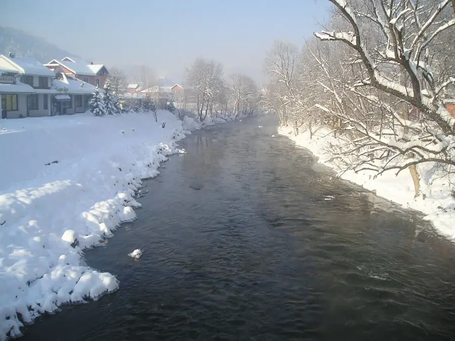
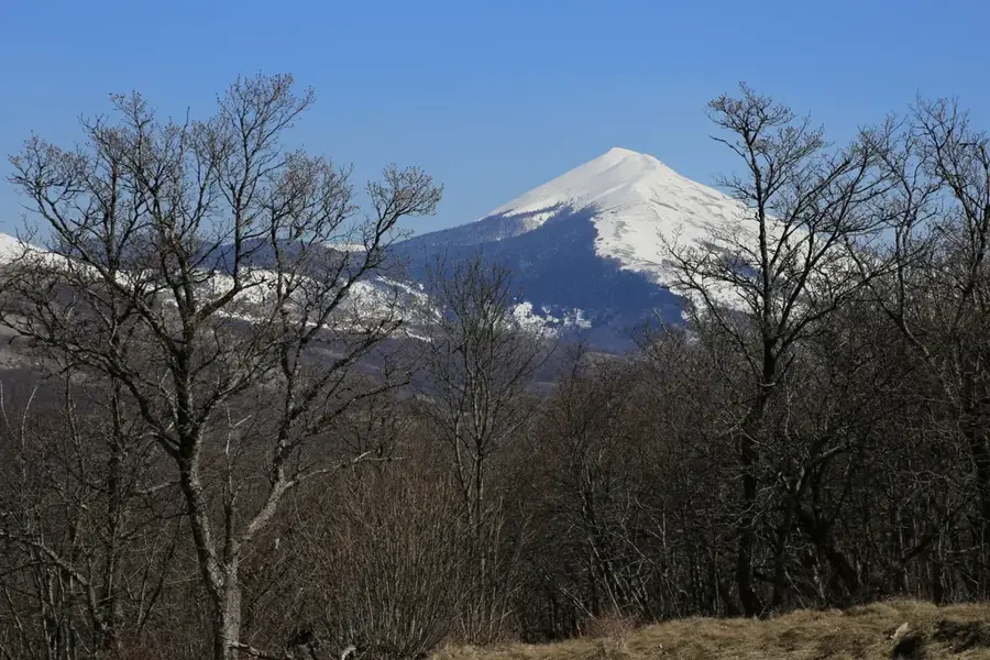
Cincar is a prominent limestone massif in western Bosnia and Herzegovina, rising above the town of Livno and the expansive Livno field (Livanjsko polje). Its eponymous highest peak reaches an elevation of 2,006 meters and serves as a major landmark in the central Dinaric Alps. The mountain is characterized by its barren, windswept high plateaus and extensive karst formations, including sinkholes and limestone pavements. One of the most extraordinary features of Cincar is the herds of wild horses that have lived on the Kruge plateau for decades, becoming a symbol of the region's untamed nature. Geologically, the range is composed almost entirely of Mesozoic limestone and dolomite, which leads to the rapid infiltration of surface water into subterranean channels. Historically, the area was vital for pastoralism, with shepherds bringing livestock to the high pastures during the summer months. Today, Cincar is a popular destination for hikers and mountain bikers seeking vast, nearly treeless landscapes and encounters with the wild horses. The climate is often harsh, with the powerful Bura wind shaping the resilient alpine vegetation.
- Location: Bosnia and Herzegovina
- Top sights: Cincar · Osječenica · Kameni pauk
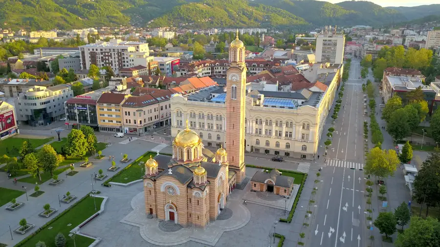
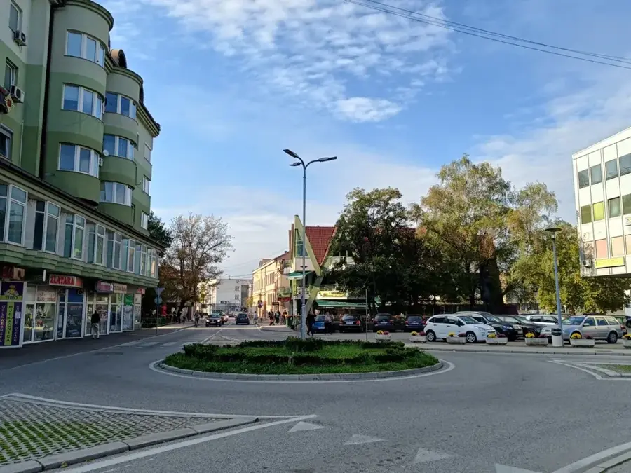
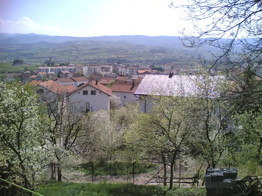
- Nearby: Livno (11 km)
Best time to visit & climate
The most pleasant time to visit is Jun–Aug.
| Jan | Feb | Mar | Apr | May | Jun | Jul | Aug | Sep | Oct | Nov | Dec | |
|---|---|---|---|---|---|---|---|---|---|---|---|---|
| Avg °C | -2 | -1 | 2 | 7 | 11 | 15 | 18 | 19 | 13 | 9 | 4 | 0 |
| Rain mm | 94 | 89 | 78 | 75 | 72 | 64 | 38 | 54 | 92 | 94 | 128 | 115 |
📋 Practical info
Geography
Facts
- Cincar peak is the highest mountain in western Bosnia at 2,006 meters.
- The high plateaus are home to an estimated population of over 700 wild horses.
- The mountain towers over Livanjsko polje, the largest karst field in the world.
- The average temperature on the peaks is significantly lower than the national average.
- The Kruge plateau is famous for its moon-like landscape formed by thousands of sinkholes.
- During winter, Cincar is a renowned area for challenging backcountry skiing.
Explore nearby
Notable places around
Route planner — Car & Motorhome
Where do you start? We build the route here, with stops and country notes along the way.
© OpenStreetMap contributors · OpenRouteService
Sights in the town Cincar Planina (3)
Sights nearby
Frequently asked questions
What is Cincar known for?
How high is Mount Cincar?
Is it guaranteed to see the wild horses?
What is the terrain like for hikers?
Is 4x4 drive necessary for access?
Cincar Planina: where is it located?
Cincar Planina: what is there to see?
Cincar Planina: when is the best time to visit?
Cincar Planina: why is it worth visiting?
Nearby cities


More places