Plizio Visual Lab
Kamešnica
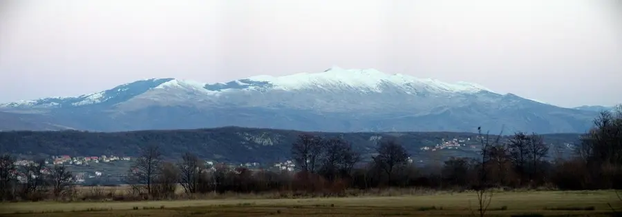
Kamešnica is an impressive mountain massif in southwestern Bosnia and Herzegovina, forming a natural border with Croatia. Its highest peak, Konj, sits at 1,855 meters above sea level and is located entirely within Bosnian territory. The mountain is the southeastern continuation of the Dinara range and is characterized by a rugged landscape shaped by karst phenomena. Geologically, thick layers of limestone dominate, having formed spectacular rock formations and deep sinkholes through erosion over millennia. Historically, Kamešnica was a vital transit route for traders and shepherds traveling between the Dalmatian hinterland and the Livno Field (Livanjsko polje). The flora is notable, featuring many medicinal herbs and rare alpine plants that thrive in the barren environment. The climate is influenced by the nearby Adriatic Sea, leading to extreme snowfall in winter and strong, dry winds in summer. For hikers, Kamešnica gives challenging routes and unforgettable views of the Adriatic islands on one side and the Herzegovinian mountains on the other. The mountain's isolation has helped keep its wildlife, including chamois and various birds of prey, largely undisturbed.
- Location: Bosnia and Herzegovina
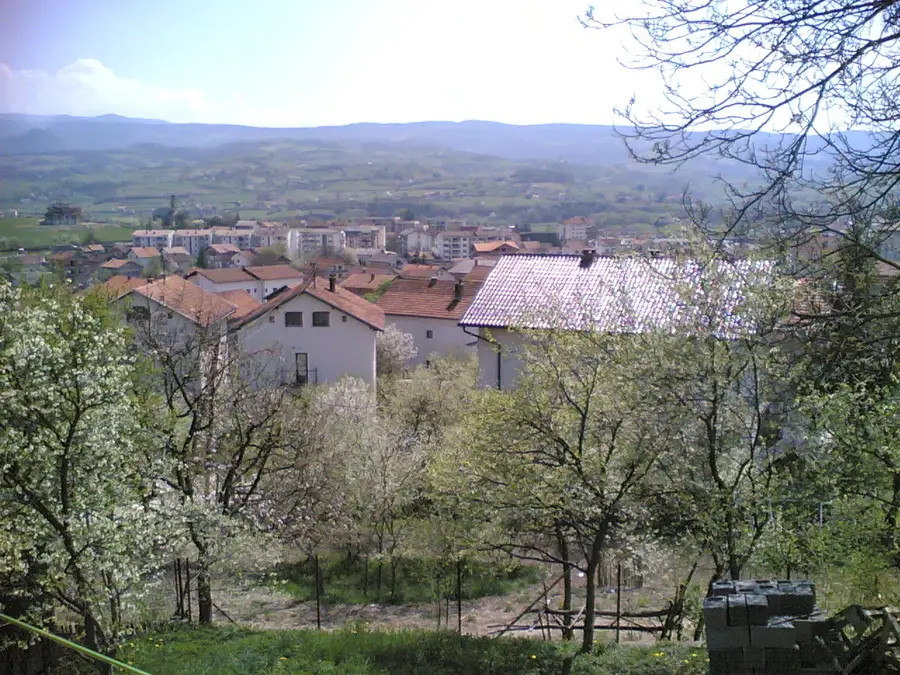
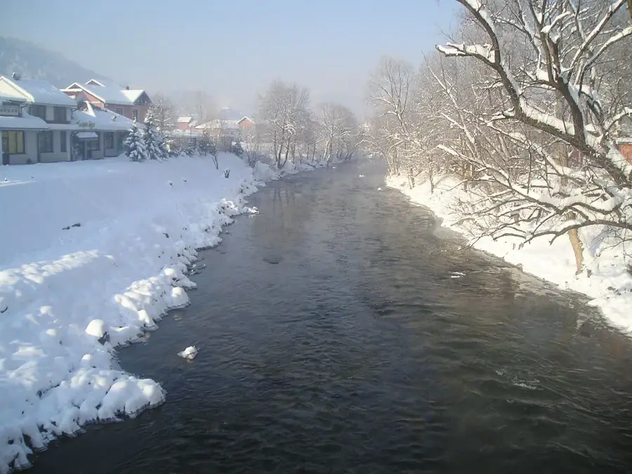
- Top sights: Lipsko Lake · Srđevići, Livno
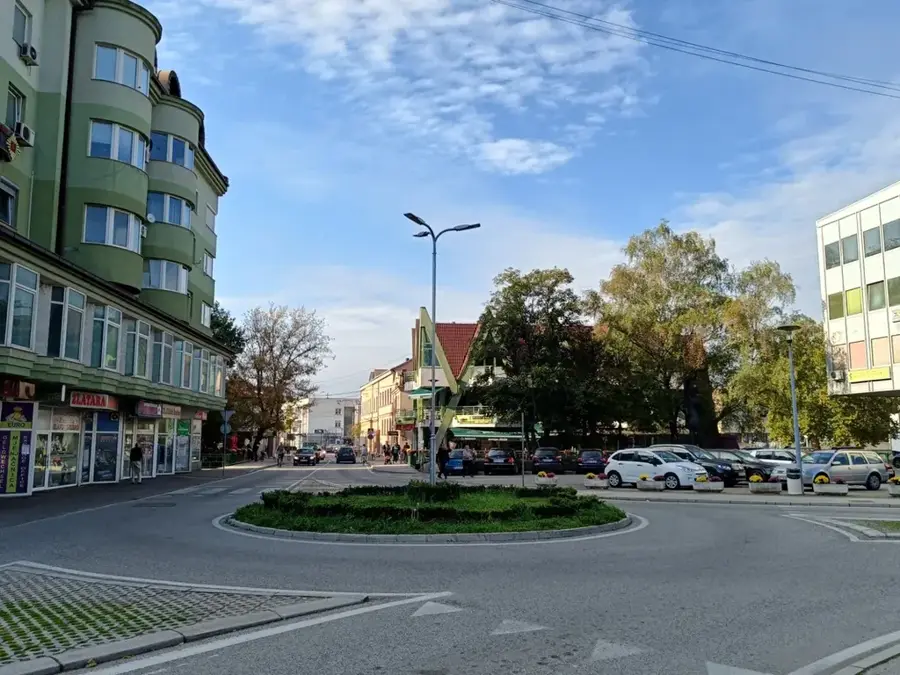
- Nearby: Livno (11 km)
Best time to visit & climate
The most pleasant time to visit is Jun–Aug.
| Jan | Feb | Mar | Apr | May | Jun | Jul | Aug | Sep | Oct | Nov | Dec | |
|---|---|---|---|---|---|---|---|---|---|---|---|---|
| Avg °C | -2 | -1 | 2 | 7 | 11 | 15 | 18 | 19 | 13 | 9 | 4 | 0 |
| Rain mm | 94 | 89 | 78 | 75 | 72 | 64 | 38 | 54 | 92 | 94 | 128 | 115 |
📋 Practical info
Geography
Facts
- The peak Konj is the highest point of Kamešnica at 1,855 meters.
- The mountain separates the Livanjsko field from the Croatian Sinjsko field.
- There are no permanent watercourses on Kamešnica due to the karst nature.
- Snowdrifts of several meters high can form during the winter.
- The region is renowned for the production of high-quality mountain cheese.
- Geologically, the massif consists mainly of Jurassic and Cretaceous limestone.
Explore nearby
Notable places around
Route planner — Car & Motorhome
Where do you start? We build the route here, with stops and country notes along the way.
© OpenStreetMap contributors · OpenRouteService
Sights in the town Kamešnica (2)
Sights nearby
Frequently asked questions
How high is Kamešnica?
Where are the Kamešnica mountains?
What is special about the flora?
Can you see the Adriatic Sea?
Is mountaineering safe here?
Kamešnica: where is it located?
Kamešnica: what is there to see?
Kamešnica: when is the best time to visit?
Kamešnica: why is it worth visiting?
Nearby cities