Plizio Visual Lab
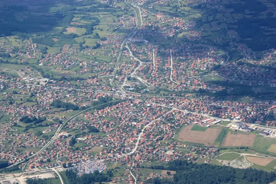
Kotor-Varos Old Town
Weather…
Water temperature…
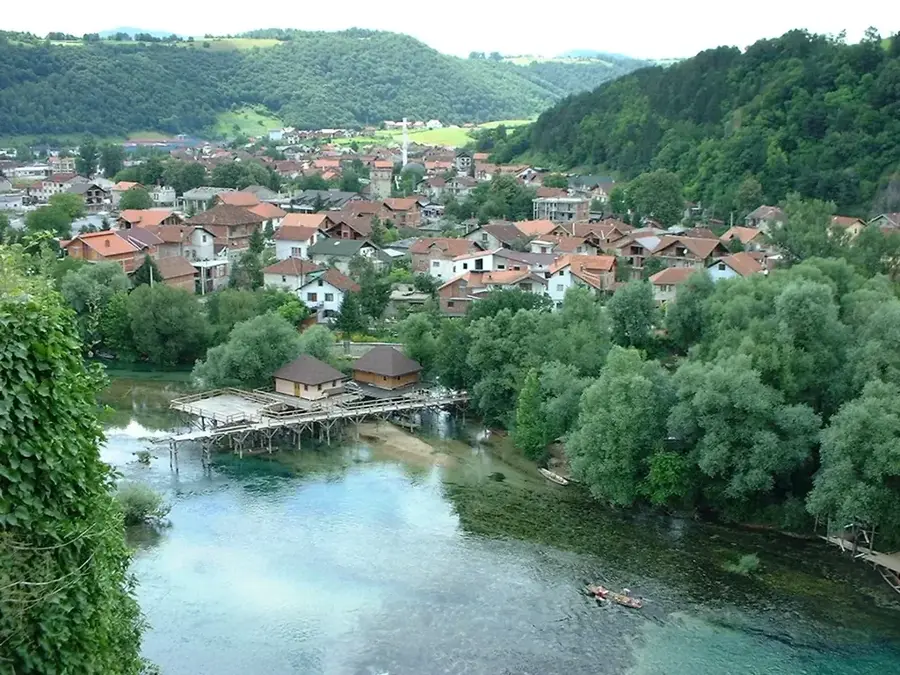
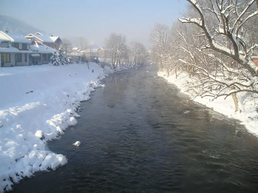
The medieval fortress of Kotor, situated above the town of Kotor Varoš, was first documented in the 10th century in the work "De Administrando Imperio." Strategically located by the Vrbanja River, it served as a vital defensive outpost for the Bosnian state during the Middle Ages. The complex consists of an upper and lower town with massive stone walls that reflect the development of military architecture over several centuries. Following the fall of Bosnia in 1463, the garrison held out for decades until the Ottomans finally captured the site in 1519. Today, the fortress ruins are protected as a national monument and provide significant insights into the feudal structure of the region. Archaeological layers reveal remains from late antiquity and the medieval period, confirming the long-standing strategic importance of this site.
- Location: Bosnia and Herzegovina
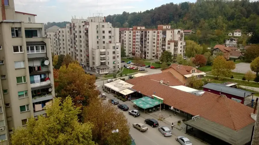
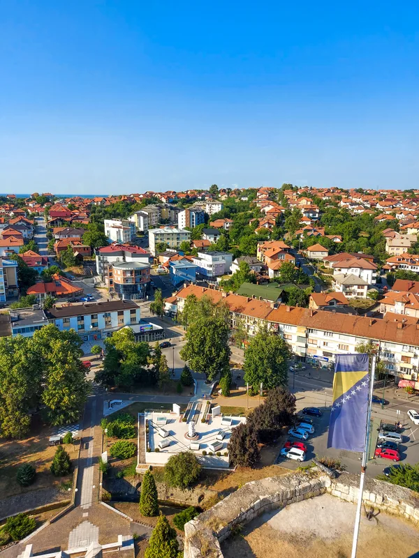
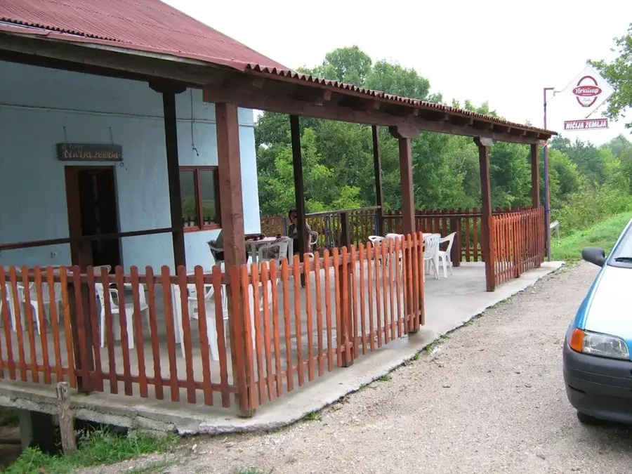
- Top sights: Kotor · Gradsko kupalište "Bjeline"
- Nearby: Kneževo (14 km)
- Population: ~5.068 (2026)
Best time to visit & climate
The most pleasant time to visit is Jun–Aug.
| Jan | Feb | Mar | Apr | May | Jun | Jul | Aug | Sep | Oct | Nov | Dec | |
|---|---|---|---|---|---|---|---|---|---|---|---|---|
| Avg °C | -1 | 0 | 4 | 9 | 14 | 18 | 21 | 21 | 15 | 11 | 6 | 0 |
| Rain mm | 73 | 70 | 68 | 71 | 87 | 82 | 58 | 63 | 86 | 79 | 88 | 84 |
📋 Practical info
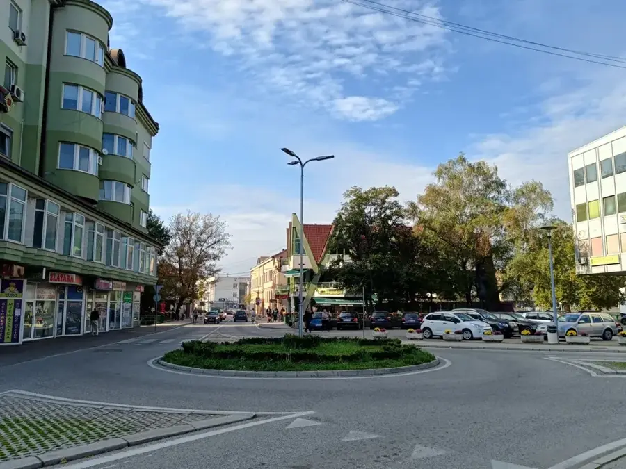
Geography
Facts
- First mentioned in the 10th century by Constantine VII.
- Conquered by the Ottoman Empire as late as 1519.
- Located on a rocky ridge overlooking the Vrbanja River.
- Contains archaeological findings from the late Roman era.
- Served as a key point in the medieval Bosnian defense line.
- Listed as a national monument of Bosnia and Herzegovina.
Explore nearby
Notable places around
Route planner — Car & Motorhome
Where do you start? We build the route here, with stops and country notes along the way.
© OpenStreetMap contributors · OpenRouteService
Sights in the town Kotor-Varos Old Town (2)
Sights nearby
Frequently asked questions
What can you see in the old town of Kotor-Varos?
Are there entrance costs?
How do you reach the site?
Is the path well signposted?
When was the town first mentioned?
Kotor-Varos Old Town: where is it located?
Kotor-Varos Old Town: what is there to see?
Kotor-Varos Old Town: when is the best time to visit?
Kotor-Varos Old Town: why is it worth visiting?
Nearby cities