Plizio Visual Lab
Mano River

Weather…
Water temperature…
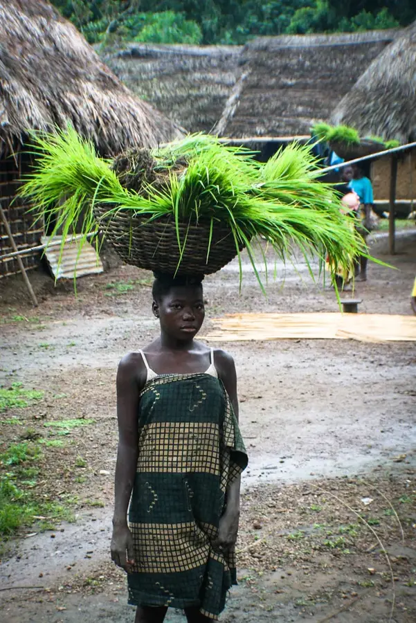
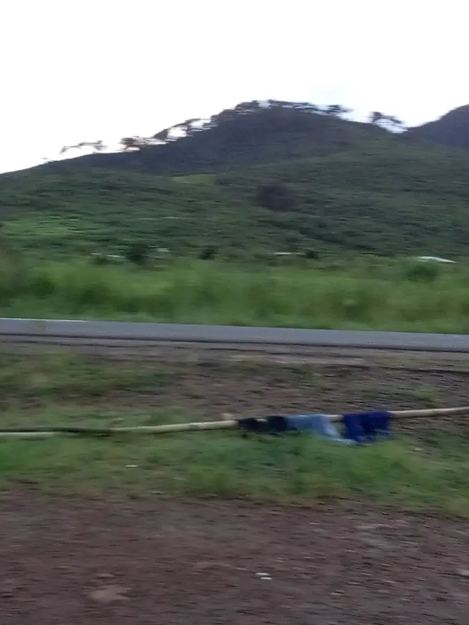
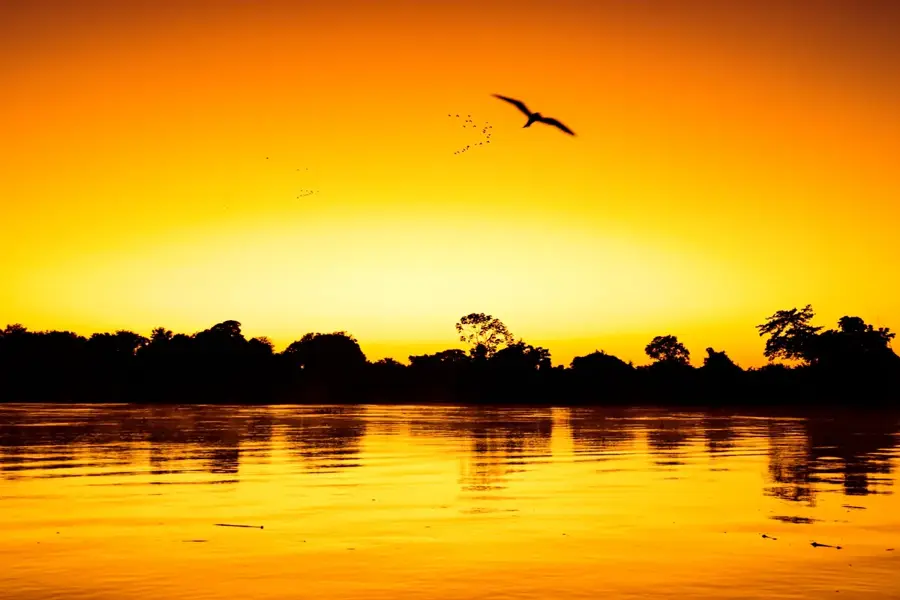
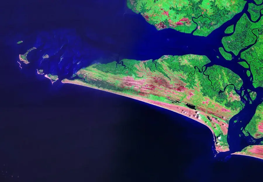
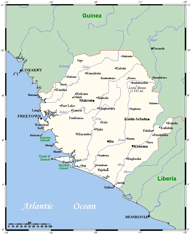
The Mano River forms a significant portion of the international boundary between Sierra Leone and Liberia. It originates in the Guinea Highlands and flows for approximately 320 kilometers southwest until it reaches its mouth at the Atlantic Ocean. The river gives its name to the Mano River Union (MRU), a regional economic community established in 1973. Geologically and economically, the river basin is of immense importance as it hosts rich deposits of alluvial diamonds, which have shaped the economies of the adjacent regions for decades. Historically, the river was a focal point for political tensions and conflict, but it now serves as a symbol of cross-border cooperation. Its banks are lined with dense rainforest, part of the Upper Guinean forest ecosystem, which has high levels of biodiversity. The Mano River is used locally for artisanal fishing and as a transportation route, though rapids in certain sections make navigation difficult for larger vessels.
Best time to visit & climate
The most pleasant time to visit is Jan, Feb, Dec.
| Jan | Feb | Mar | Apr | May | Jun | Jul | Aug | Sep | Oct | Nov | Dec | |
|---|---|---|---|---|---|---|---|---|---|---|---|---|
| Avg °C | 26 | 27 | 27 | 27 | 27 | 26 | 25 | 24 | 25 | 26 | 26 | 26 |
| Rain mm | 10 | 23 | 46 | 65 | 114 | 251 | 344 | 510 | 319 | 234 | 77 | 32 |
📋 Practical info
Geography
Facts
- The Mano River has a total length of approximately 320 kilometers.
- The Mano River Union (MRU) was founded on October 3, 1973.
- The river has served as the border with Liberia since 1885.
- The region is world-renowned for its high-quality alluvial diamond deposits.
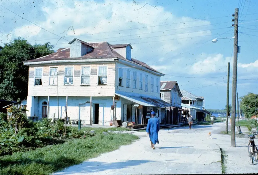
- A Liberian fishing village named Manor River is located at the mouth.
- The river drains a catchment area of roughly 8,250 square kilometers.
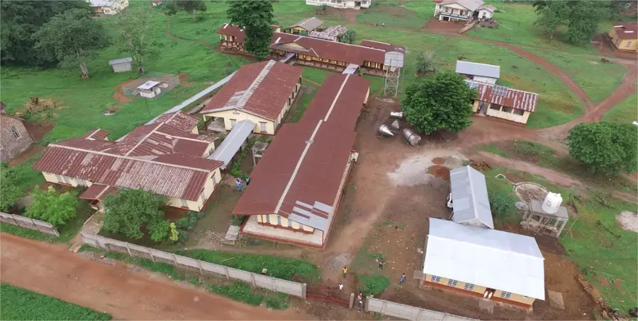
Explore nearby
Notable places around
Route planner — Car & Motorhome
Where do you start? We build the route here, with stops and country notes along the way.
© OpenStreetMap contributors · OpenRouteService
Sights nearby
Frequently asked questions
Is the Mano River a border river?
Are there river cruises on the Mano?
What are the hazards at the river?
Is the area developed for tourism?
Do I need a permit for the area?
Mano River: where is it located?
Mano River: when is the best time to visit?
Mano River: why is it worth visiting?

Nearby cities

History & landmarks

Nature

More places