Plizio Visual Lab
Rotifunk
ℹ️Practical info — Rotifunk
▾
🌤 Weather — 5 days
📍 Nearby
Sights nearby
💡 Tips
- Visit the banks of the Bumpeh River early in the morning to experience the calm atmosphere and the mist over the water.
- Use 'okadas' (motorcycle taxis) for short distances within town, but always agree on the fare before starting your journey.
- Respect the historic significance of the missionary schools, as education is deeply rooted in Rotifunk's identity.
- Always carry enough drinking water, as the humidity in the interior can be quite intense.
- A friendly greeting to residents is highly appreciated and often leads to engaging conversations about local history.
🍽 Food
Try this hearty dish (Plasas) at the cookshops near the central market area.
A popular snack you can find freshly prepared by street vendors near the main junction.
Ask for the catch of the day at small riverside eateries, usually served grilled with local pepper sauce.
🛍 Shopping · 🧘 Quiet spots
Here you can find hand-woven baskets and fresh spices from the surrounding region.
Look for small shops offering traditionally dyed fabrics and simple tailored garments.
A handy spot for quiet walks away from the busy market center.
The spacious gardens and historic buildings provide a peaceful atmosphere for reflection.
Water temperature…
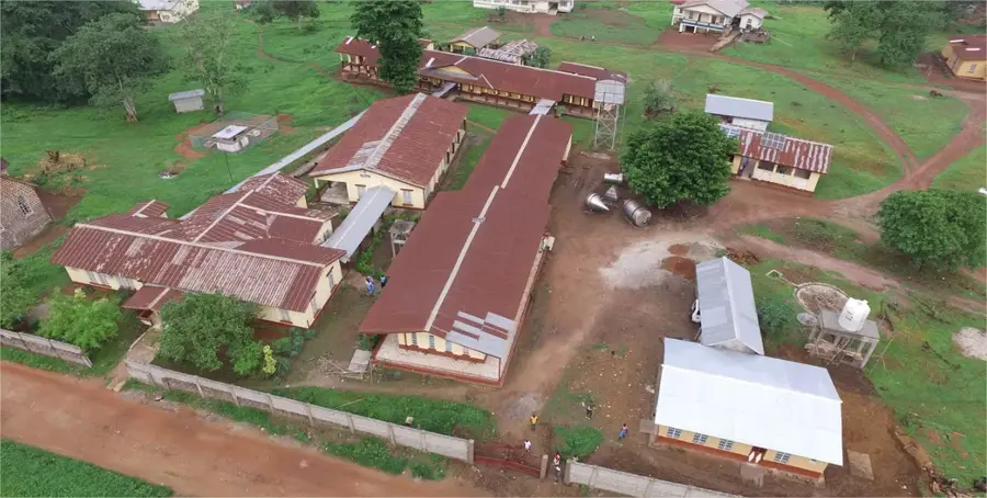
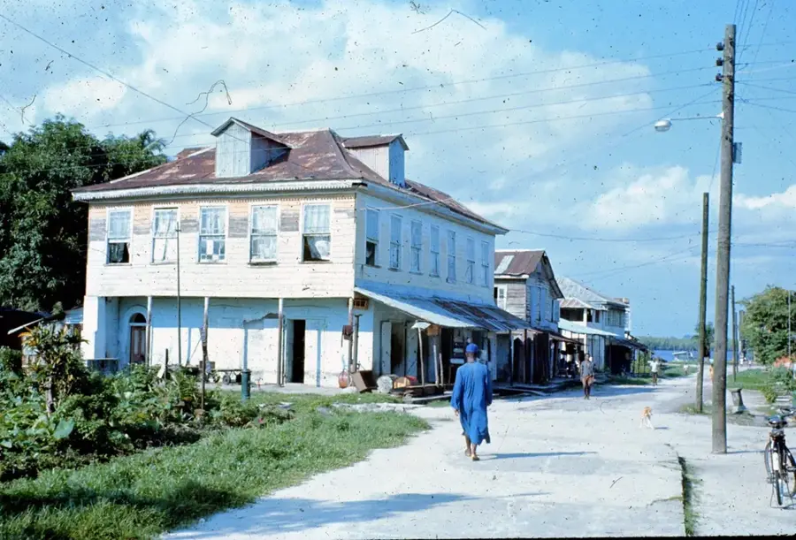
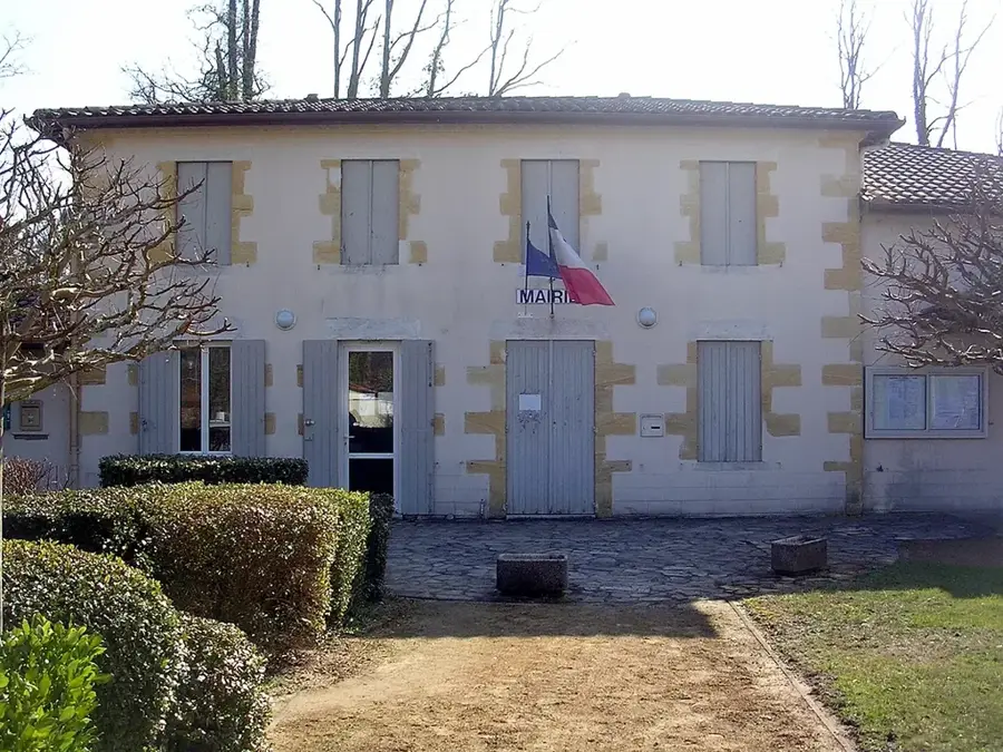
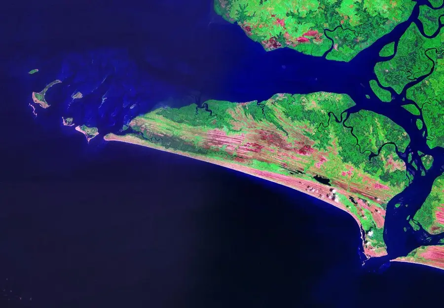
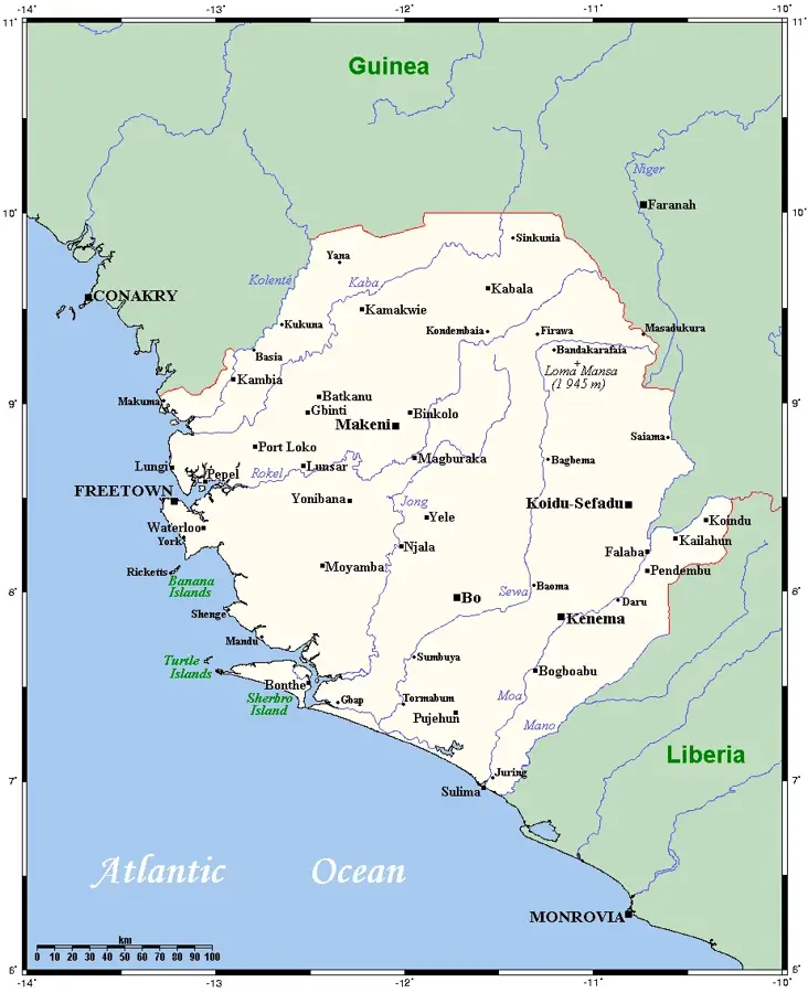
Rotifunk is a historic small town in Moyamba District in Sierra Leone's Southern Province, set on the Bumpe River about 80 kilometers south-east of Freetown. Rotifunk became known in the late 19th century as the seat of the American United Brethren in Christ mission, which from 1855 onwards established a school, a church, and a hospital here. The town was also the scene of a tragic event during the 1898 Hut Tax War, when several missionaries were killed during a Mende uprising. After the war the mission was rebuilt, and Rotifunk again grew into a regionally renowned education and health center. In the 20th century the town was a station on the Sierra Leone Railway to Bo. Today, Rotifunk's population is mainly Mende, Sherbro, and Krio, whose blend defines the cultural profile of the town. It has a secondary school, a hospital, churches, mosques, and a weekly market trading agricultural produce from the surrounding lowlands.
- Location: Sierra Leone
- Nearby: Moyamba (29 km)
- Population: ~4.858 (2015)
Best time to visit & climate
The most pleasant time to visit is Jan, Feb, Dec.
| Jan | Feb | Mar | Apr | May | Jun | Jul | Aug | Sep | Oct | Nov | Dec | |
|---|---|---|---|---|---|---|---|---|---|---|---|---|
| Avg °C | 26 | 27 | 28 | 29 | 28 | 26 | 25 | 25 | 25 | 26 | 26 | 26 |
| Rain mm | 1 | 4 | 9 | 36 | 135 | 362 | 520 | 539 | 397 | 203 | 64 | 7 |
Geography
Facts
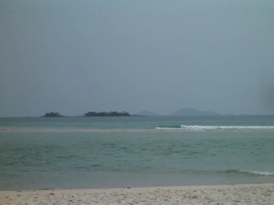
- Located on the Bumpeh River in Moyamba District.
- Early missionary and educational center in the 19th century.
- Site of the Mende Hut Tax Rebellion in 1898.
- Population consists primarily of Mende and Sherbro people.
- Major market for palm oil and cassava products.
- Home to several prestigious historical educational institutions.
Explore nearby
Notable places around
Route planner — Car & Motorhome
Where do you start? We build the route here, with stops and country notes along the way.
© OpenStreetMap contributors · OpenRouteService
Frequently asked questions
What is special about Rotifunk?
Are there cultural sights?
What is the infrastructure like in Rotifunk?
Do I need a tour guide in Rotifunk?
Is Rotifunk a suitable destination for adventurers?
Rotifunk: where is it located?
Rotifunk: when is the best time to visit?
Rotifunk: why is it worth visiting?

Nearby cities


History & landmarks

Nature


More places