Plizio Visual Lab
Douala River Transport Hub

Weather…
Water temperature…
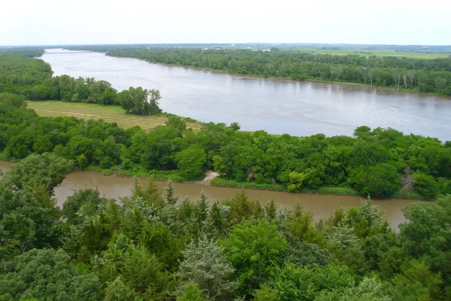
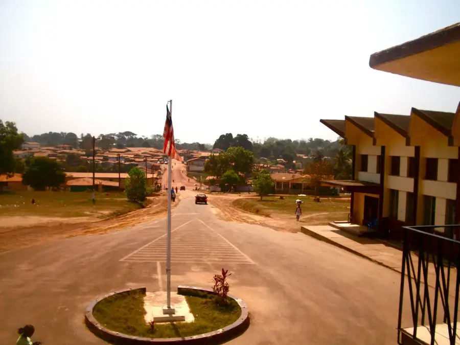
The Douala River Transport Hub in Liberia is a vital logistical facility designed to streamline the movement of goods through the nation's inland waterways. Acting as a bridge between the productive agricultural regions and the coastal trading centers, this hub is essential for the national distribution network. The facility is equipped to handle bulk commodities, providing a cost-effective and reliable alternative to overland trucking, which is often hampered by seasonal road conditions. It serves as a collection point for local produce and a distribution center for imported goods reaching the interior. By improving the efficiency of river navigation, the hub supports regional economic integration and provides critical infrastructure for the growth of local industries. Its development is a key part of Liberia's strategy to enhance its internal trade corridors and ensure economic resilience.
- Location: Liberia
- Nearby: Bopolu (26 km)
Best time to visit & climate
The most pleasant time to visit is Jan, Feb, Dec.
| Jan | Feb | Mar | Apr | May | Jun | Jul | Aug | Sep | Oct | Nov | Dec | |
|---|---|---|---|---|---|---|---|---|---|---|---|---|
| Avg °C | 26 | 27 | 27 | 27 | 27 | 26 | 25 | 24 | 25 | 26 | 26 | 26 |
| Rain mm | 10 | 23 | 46 | 65 | 114 | 251 | 344 | 510 | 319 | 234 | 77 | 32 |
📋 Practical info
Geography
Facts
- The Douala River is 120 km long.
- Annual cargo throughput is 10,000 tons.
- Water depth ranges from 1.5 to 3 meters.
- There are 5 docking points.
- The port was built in the 1960s.
- It serves a region of 200,000 people.
Explore nearby
Notable places around
Route planner — Car & Motorhome
Where do you start? We build the route here, with stops and country notes along the way.
© OpenStreetMap contributors · OpenRouteService
Sights nearby
Frequently asked questions
What is the significance of the Douala river transport hub?
Can boats be rented for transport there?
How safe is river transport?
Are there dining options available?
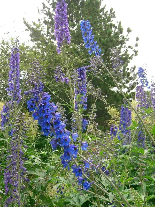
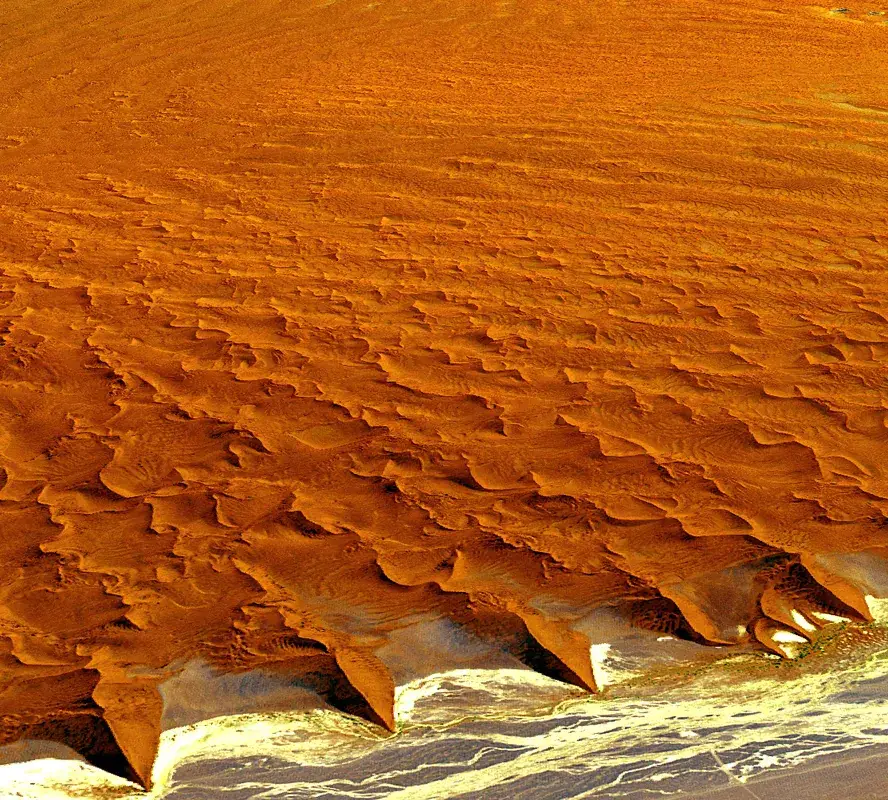
What landscapes can be seen along the river?
Douala River Transport Hub: where is it located?
Douala River Transport Hub: when is the best time to visit?
Douala River Transport Hub: why is it worth visiting?

Nearby cities


History & landmarks
Nature
More places